Mount Josephine
December 30, 2019
1206m
Sedro-Woolley / North Cascades Highway, WA
Mt. Josephine is a small wooded summit not far from the town of Sedro-Woolley in the North Cascades. The hillsides are heavily logged on almost every single corner and highest spur runs all the way to the summit. This peak hasn’t caught much attention in the peak-bagging community, probably because it doesn’t boast as much topographical prominence as some of its neighbours does such as Lyman Hill. There used to be a fire lookout on the summit but only the remains of it are left there now, and the 360-degree panoramic view is also obscured by the growing timbers. From all perspectives this peak falls into the category of dumpster-diving but does provide some exploratory feel as it’s not a well-documented summit on the internet world, yet.
Masayo and I made a last-minute decision to explore the logging roads on the southern flanks of Mt. Josephine due to the change of weather forecast. We had some other plans further down south but with clouds and rain in the forecast we didn’t want to drive too far away. There are lots of dumpster-diving options near Bellingham. I randomly picked Mt. Josephine because it triggered my curiosity. There had been ascents in 2019 according to peakbagger.com but well-written trip reports were lacking. There’s a maze of logging roads to choose from and my decision was to follow the link-up as documented on the SummitPost page. In order to avoid border traffic I drove south out of White Rock at 5:30 am and crossed into US with only a couple minutes delay. When we arrived at the start of the logging road it was still dark, and had started to rain. We drove up nonetheless. The road condition was much better than expected. The grade was steep at a few spots but the road bed was very smooth, that I’m sure a 2WD could handle it. I did not expect being able to drive very far up the road but we ended up driving past the upper gate. I parked once encountering snow and at this point, the summit was only 400 vertical meters higher and a few kilometers away.

Mt. Josephine via south side roads. GPX DL
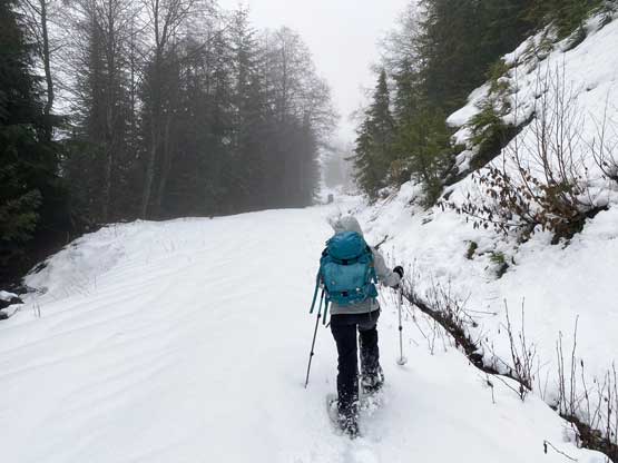
In retrospect I could have driven a little farther up but there’s no such point. We soon hit a driveable end thank to a huge washout. Tire tracks reappeared from the other side and we soon realized that the peak could be driven up from more than one starting points. We soon bypassed the western sub-summit on its south/east sides and were now traversing towards the saddle immediately to the west of the main summit. We encountered a few more branches of logging roads but with a GPS device there’s no confusion. After making a right turn at the saddle all tire tracks had stopped. At about 200 m below the summit we stopped to strap snowshoes on. We thought they weren’t needed based on earlier observations but in the end, we still needed the ‘shoes. The snow depth increased drastically as we slowly but steadily gaining elevation towards the summit. I made one navigation error by convincing Masayo that we had to bushwhack up the final 50 m elevation. The brushes were terrible and thank to the rain we were drenched in no time. To our great surprise we soon broke out of the timbers onto a narrow and overgrown road that appeared to keep going upwards. This uppermost spur was not shown on my GPS maps but I can only blame myself for not researching enough. We gladly accepted the surprise and easily snowshowed to the highest point, with no view of course.
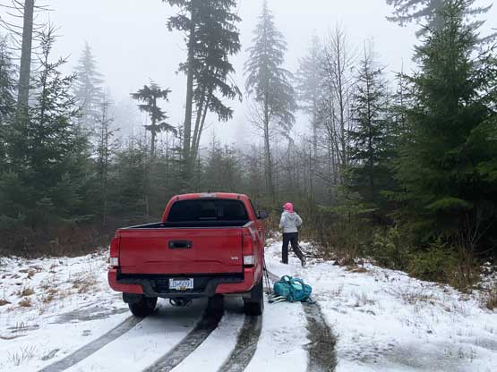
My Tacoma parked at around 800 m elevation after encountering snow
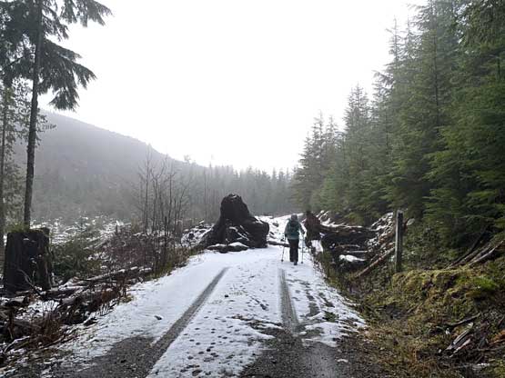
We soon hit this spot. Couldn’t drive farther even in summer

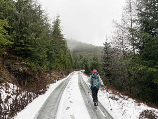
Masayo walking the typical roads on the frozen tire tracks
A while later we had to strap snowshoes on.
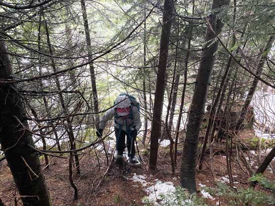
Masayo bushwhacking due to my route-finding error
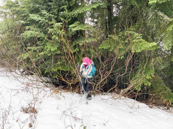
The bushwhacking was short-lived but miserable in the rain..
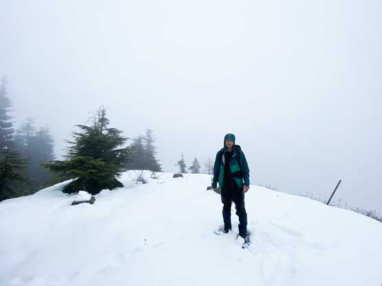
Me on the summit of Mt. Josephine

As much as the views from the summit, unfortunately…
After taking an obligatory summit shot we immediately started the descent. We were both cold and wet that we just wanted to get back to the truck, as soon as possible. We only did one transition on the return hike to undo snowshoes. The weather actually improved slightly as it stopped raining, but still 100% overcast. The sun never showed up on this day. We arrived back at the truck at 10:30 am. Due to the wetness I decided to just call it a day here but once getting back to Bellingham and knowing the rain had fully stopped I asked Masayo if she’s keen to bag a few more dumpsters, and she said yes…

Snowshoeing down the uppermost spur
Back to walking
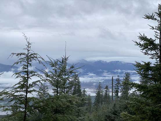
The only “view” we got was actually from the drive down

Taco crossing the gate.
