Moberly Lookout
March 22, 2014
1676m
Rock Lake / Willmore Wilderness, AB
This is another forested bump in the Rockies’ foothills, and yet, it’s another one officially named. If not because of its official status I’d never think about going up there. In fact, it took me quite a while zooming in and out on numerous maps to eventually find this objective. However, there’s still one thing appealing to me, the location. I was interested to check out Rock Lake road and see if it’s drivable in winter months. For the ascent, there was no description nor trip report on the Internet but judging by the satellite images it’s pretty clear one can hike/snowshoe/ski easily up a logging road all the way to the summit. However, given the fact it’s in Willmore area one should expect a fairly reasonable outing. If you think it’s another Mesa Butte then you’re totally wrong.
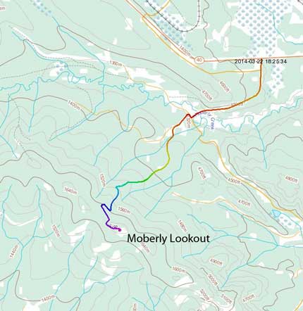
Moberly Lookout hiking route. GPX DL
Of course I wouldn’t drive 4 hours just for this. My primary objective for this trip was ascending The Palisade in Jasper area on Sunday, but I figured I might be able to squeeze in a very short trip on the first day. It was such a last minute decision and I left Edmonton at 12:30 pm after lunch on Saturday. What an ‘early’ start that was… I made a mistake not estimating the trip distance. It appeared really close to the highway so I thought it’d be another 2-hour trip. Once I made to the Rock Lake road turn-off, bad news arrived. The road wasn’t maintained and there’s absolutely no way for my car to handle it. That added 2.2 km one-way to the trip right away and my round trip distance would be 12.5 km. Oh well, with a late start at 4:40 pm, I had to hurry up.
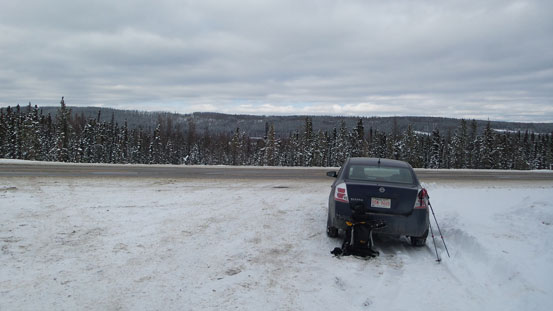
I had to park on Highway 40. Need winter tires and 4×4 to drive the road.
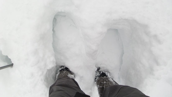
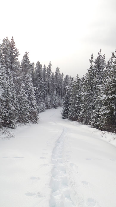
There were trucks driving on Rock Lake road so I could boot the initial 2.2 km on a fast pace. This road led me up and over a small hill initially but soon lose all of the elevation down to Moberly Creek which is at about 50 m below the Highway level. Then after the bridge I would leave the main road and turn right, and then turn immediately left up a narrower branch. Now the massive amount of trail-breaking officially started. I’d never expect this amount of snow in the foothills, but oh well. From here on it was a little bit more than 4 km’s trudge up this fire road, but far from easy. The snow was absolutely horrible and I sunk to almost knee deep on average even on my 30′ snowshoes. That was awful. But there’s only 4 more kilometers to go so how bad could it be…
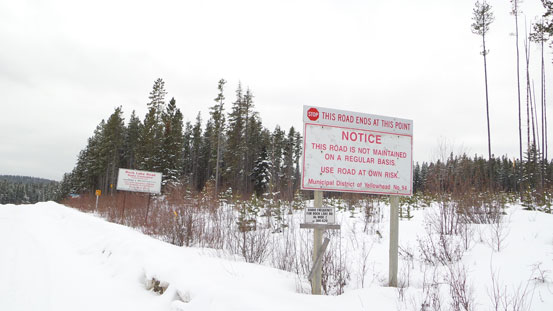
Rock Lake road isn’t maintained.
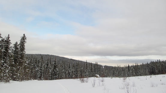
The summit is one of the bumps in the distance.
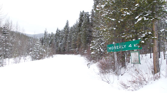
Look for this sign and follow it.
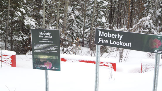
An official plaque
Thankfully I was in a good shape and managed to maintain a fast pace throughout the ascent, and after 2 hours I was standing on the top. Despite the “lookout structure”, the summit is treed and there’s limited views even during good weather periods (weather was pretty bad on this day). In fact the best view would be looking towards the prairie from a couple clearings lower down. After taking a couple obligatory photos I started the descent immediately due to time constraint. Plunging step down was fast and furious but walking back up the main Rock Lake road near the end was tedious. I made back just after sunset and my round trip time was 3.5 hours.
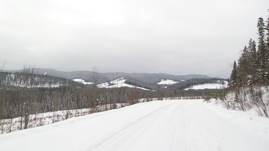
Some views from the ascent
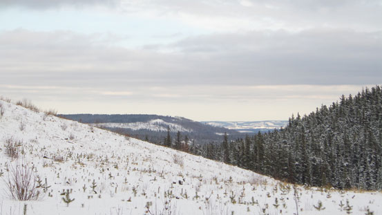
Foothills and prairie
Typical post-holing on the fire road. Very tedious.

The summit structure

Not much of a view towards the front range.
A summit missile?

Another photo showing the lookout building
Time to go down

One last view from the descent.
Moberly Lookout proved to be another why-bother objective. If you happen to be in this area and have a couple hours to kill then it’ll give you some workout. Other than that I wouldn’t recommend.
