Indian Graves Ridge
March 10, 2012
1675m
Kananaskis Country (South), AB
After finishing Coffin Mountain under the strongest wind I’ve ever experienced, I slept at the RR 940 winter closure gate Friday night, hoping the wind would cease a bit. But on Saturday morning I found the wind got even stronger. I still wanted to do Windy Peak. I actually geared up, but turned back after making to the top of roadside clear cutting. The wind was just beyond crazy. I didn’t want another day like Friday. Next time I come here I’ll do Windy Peak, Hornecker, Saddle and Livingstone in one day. I decided to drive back. The weather was actually pretty good and I stopped at Teardrop Lake (Summit Lake) hoping to grab the shortest ascent, namely Hailstone Butte. However, I couldn’t even balance myself at parking lot. After a few quick photos I drove down the steep hill. I flipped the borrowed Ridgewalks in Canadian Rockies, and found Indian Graves Ridge being the smallest summit in this area, located easternmost. After coming down the “big hill” on Highway 532, the wind ceased significantly. So instead of just going home, I found myself parking at the west side of Willow Creek Bridge, and getting ready for this small summit.

Indian Graves Ridge hiking route
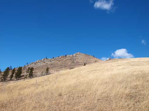
This is rather just an unofficially named forested summit in the foothills and is as short (and unimpressive) as one can expect. The golden coloured grassy slope appeared easy to hike up from the parking lot but once making to the ridge crest, there was still a good horizontal distance to reach the true summit. It was actually very difficult to determine where the true summit was since apparently the highest point is forested. I also didn’t bring snowshoes and the shaded areas still held lots of (isothermal) snow.

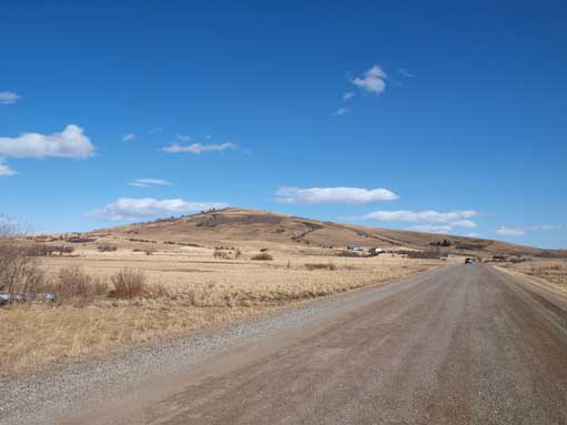
Indian Graves Ridge from the parking lot
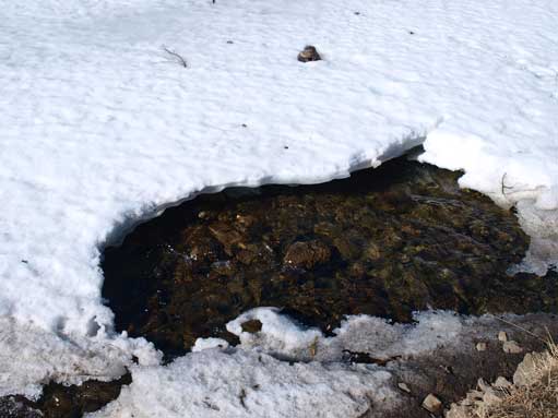
Willow Creek was thawing
Beautiful day though.
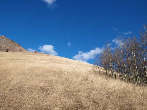
More of this grass scenery
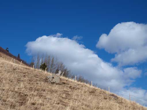
And with a couple pieces of clouds.
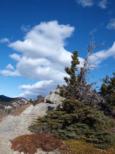
Now I made to the ridge.
This is the first highpoing
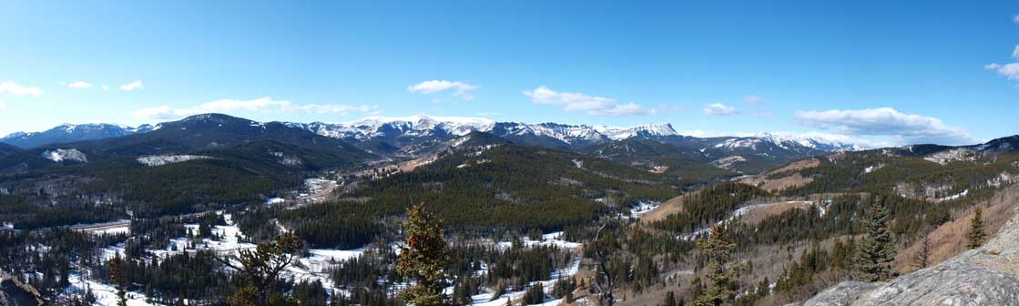
Panorama looking towards the mountains. Click to view large size.

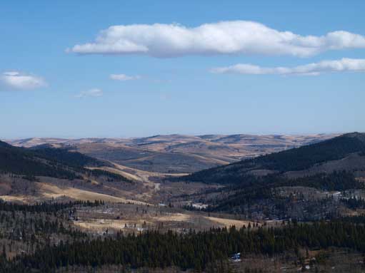
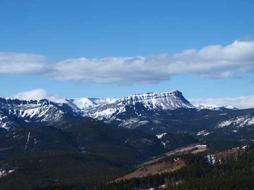
And panorama of the other side. Click to view large size.
Zooming-in towards East.
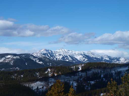
Mount Burke
Sentinel Peak
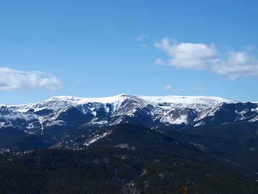
Hailstone butte
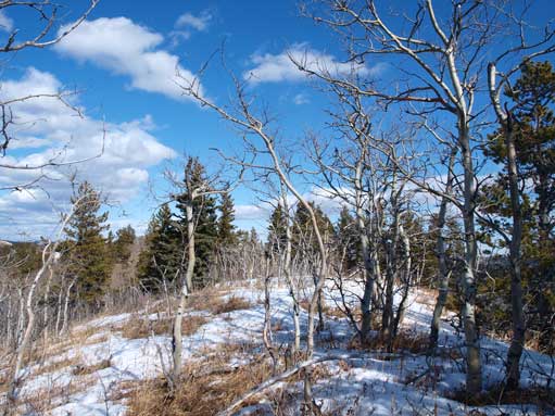
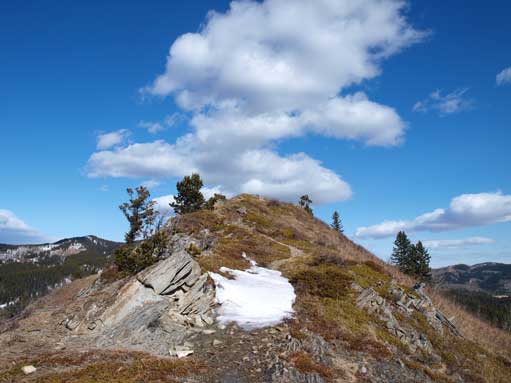
Somewhere near the summit. It was very hard to judge
Back to Highway 532. This is a beautiful drive, only if I had a truck.
I easily retraced my steps down and the day was so short that I even managed to drive back to Edmonton before dark. That’s quite a welcome sign in the everlasting winter.
