Mount Solomon
October 8, 2012
1585m
Hinton, AB
This was the last day of this Remembrance Day long weekend and I decided to take my mom up an easy objective near Hinton. Mt. Solomon is a mere bump in the foothills with only 600 m elevation gain. I got this idea from simply gazing at various maps and after some basic Google searches I more-or-less knew what to expect.
Direction:
Go north on Highway 40 towards Grand Cache, after crossing Athabasca River, watch for sign towards Brule / Black Cat Ranch on your left side, and turn left. After about 11 km, watch for sign to Black Cat Ranch, turn right onto a gravel road, and follow the road to the end. The trailhead is on the right side of a gate, and is well marked.
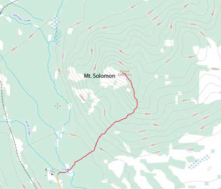
The rough line for Mt. Solomon’s hiking route
There’s a maze of trails but all of the intersections were clearly marked. We just had to follow sign #18: summit of Solomon trail. The trail went on longer than expected. Well, it’s certainly not the 2-hour round trip that I was expecting, but overall it’s a short day no matter what. The summit was actually treed, but did offer some good views towards the front range and Brule Lake. We descended for about 20 m towards west to a better viewpoint. The weather was bad throughout the day and most peaks were covered in clouds. There were two registers which surprised me a bit. No familiar names though.

There’s a maze of trails
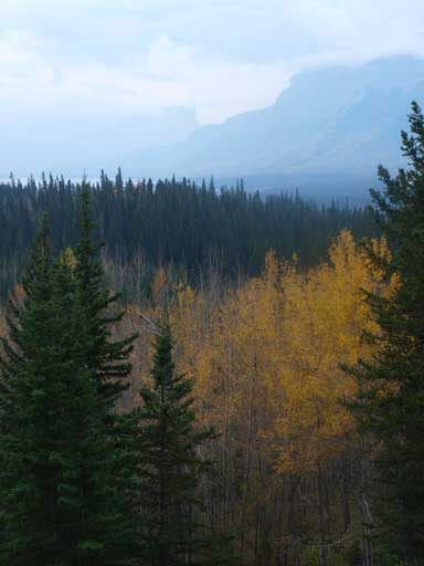
Fall colours
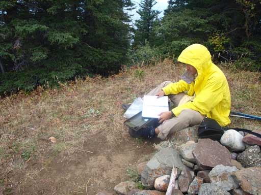
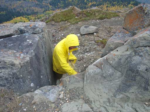
Me reading the register
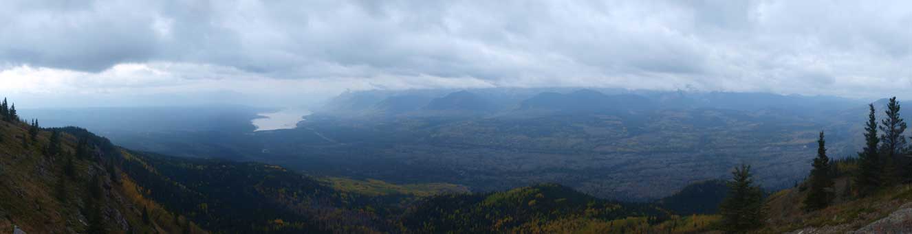
Panorama view looking towards the front range
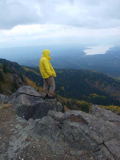
Me soaking in the views
Me doing some optional scrambling
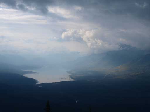
Brule Lake
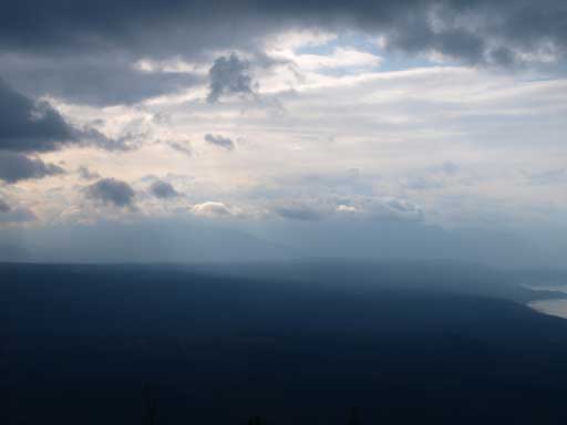
Interesting clouds
Due to the cold weather, we didn’t stay long. I also had some homework unfinished so the sooner we got back home, the better.
