Mount Joan
August 3, 2021
1556m
Vancouver Island, BC
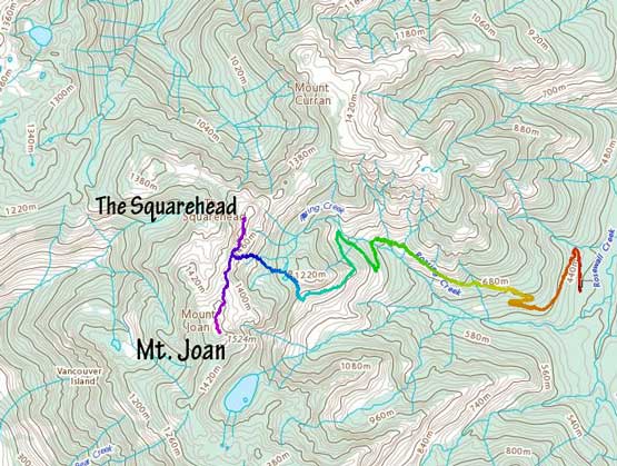
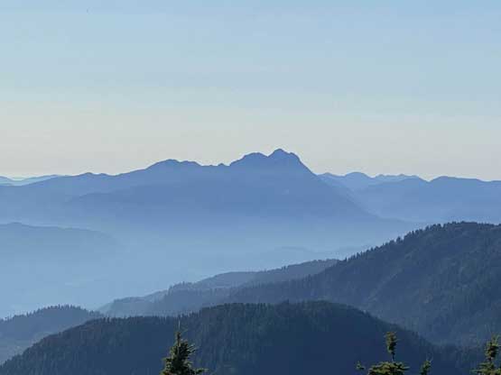
Mt. Joan is the highest peak in Beaufort Range on the eastern-central Vancouver Island and subsequently boasts over 1100 m prominence. The peaks in Beaufort Range are all walk-ups and generally easy to access. Mt. Joan is accessed by driving about 14 km up Cook Creek FSR and the ascent is as mentioned above, a “walk-up”. Over the past few years I’ve seen some prominence peak-baggers from the mainland or even foreign countries coming here to grab this low-hanging fruit. This is also a popular hike in the local communities and can also be combined with The Squarehead and Mt. Curran to make a 20-km loop traverse. Alex, Vlad and I did Mt. Joan on the last day of our August long weekend island peak-bagging trip. We did not complete the full loop but we did grab The Squarehead as well.
This was already the 4th day so we were all very beaten and tired mostly because of the heat and the mosquitoes. We opted to drive to the trail-head the night before and set up the tents by 8 pm. The driveable end was pretty obvious right in front of a massive water bar. It’s possible that my Taco could handle this water bar but I was glad we did not push, as there were quite a few major ditches immediately after as well. We probably could have shaved off half an hour’s walking by pushing the vehicle further but there’s no point in doing that. It seemed like most hikers opted to park at this same spot anyway. The next morning we woke up at 5 am in the dark and started in under an hour.
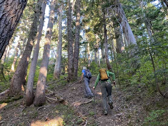
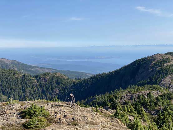
I was not feeling super motivated and as a result I managed to forget my sun hat as well as the two bottles of Gatorades that I planned to bring. Of course I did not notice that until much later. The first 5-6 km was nothing but plodding up the remaining of the logging road with deteriorating quality. There was one massive detour to cross a creek and that’s right after the Mt. Curran’s junction, and the last kilometer on this road was bushy and overgrown. We correctly located the trail heading up into the bowl under Joan/Squarehead col. There’s one major stream to load up the water bottles but we opted not because at this point we already made the decision to skip the traverse and come back down the same way, so we could use the stream later.


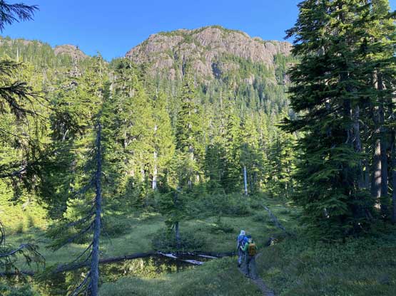
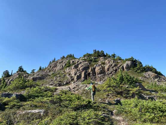
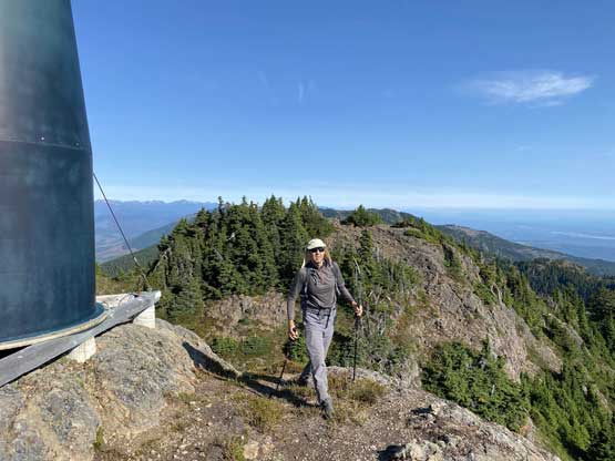
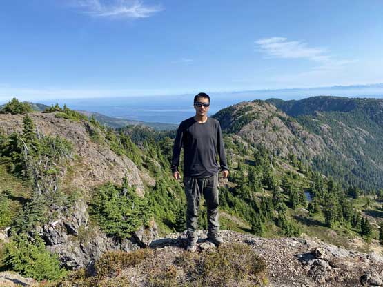
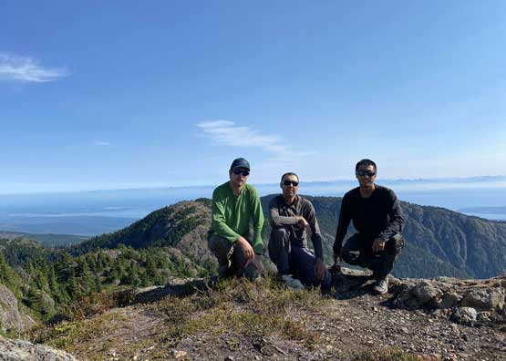
The ascent to the col was steep and hot and once onto the broad north ridge of Mt. Joan the going was not as straightforward as I thought. There were lots of micro-terrain but the route/trail was decently well-marked. Vlad as usual, opted for more scrambling while Alex and I decided to take the path with the least amount of resistance because we were both physically and mentally tired. Eventually there came the last dip and the true summit with a massive green dildo erecting on the top. I have to thank the dildo this time as that thing provided some valuable shades for us. This day was not as hot as the previous few, but still a major heat toll.


About half an hour later we leisurely descended the north ridge back down to Joan/Squarehead col. The ascent of The Squarehead appeared to be a really short diversion so we carried on.

