Wendell Mountain, East Peak
December 20, 2014
2294m
Kananaskis – Exshaw / Bow Valley, AB
The East peak of Wendell Mountain is a straightforward ascent but doesn’t seem to draw significant attention to the scramblers. The relatively long approach with the 200-meter elevation loss from Yamuska’s shoulder must be the major deterring factor. On the other hand, it’s part of the easternmost range of the Rockies and rarely gets significant amount of snow, so ideally will make a great off-season objective.
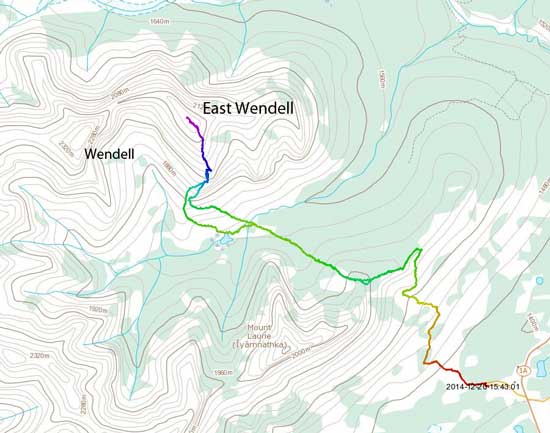
East Wendell standard scramble route. GPX DL
On the first day after final exams I hooked up with a new friend from Facebook – Hayden Ewing. We’ve been talking for a while already and East Wendell seemed like a perfect introductory objective. Checking the weather forecast confirmed this plan as it’s apparent the front ranges would likely have better weather. The downside was the potential high winds but at least temperature would be warm. We met at Yamuska’s parking lot by 7:40 am and started shortly after 8.
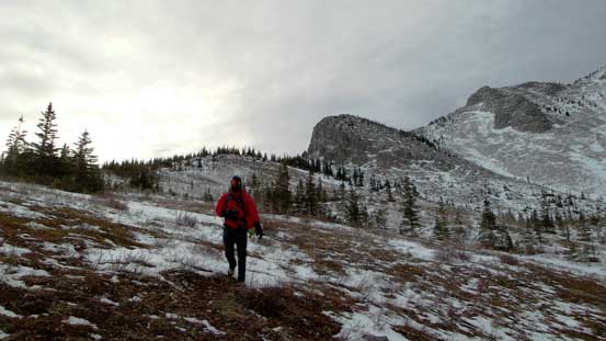
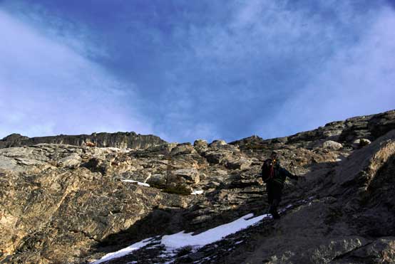
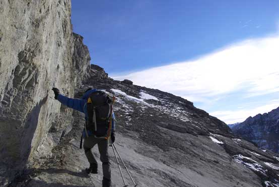
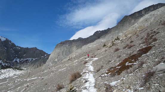
The first section was a mundane walk to the east shoulder of Mt. Yamuska – the 3rd time for me and nothing worth noting. In about 1 hour we reached the open slope just below Yamuska’s scrambling section. Right away we got pushed around by the strong gusts.. Oh well.. Good thing was that based on the snow depth on Yam’s shoulder we no longer need to keep hauling snowshoes. Down towards CMC valley we had to deal with some bushwhacking but nothing major.
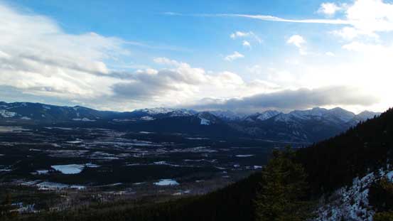
A morning view from Yamuska’s trail
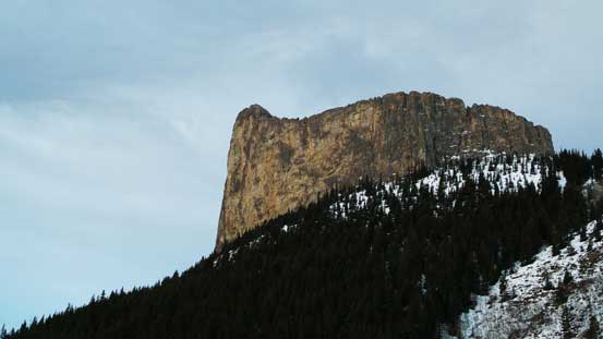
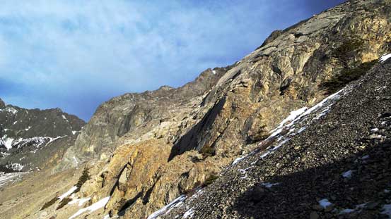
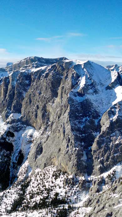
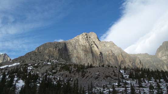
The impressive Yam’s face
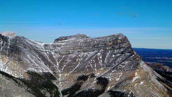
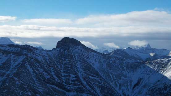
From the shoulder we could see our objective
Hiking down the open slopes
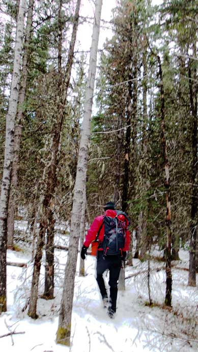
Bushwhacking wasn’t too bad
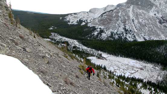
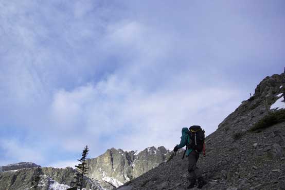
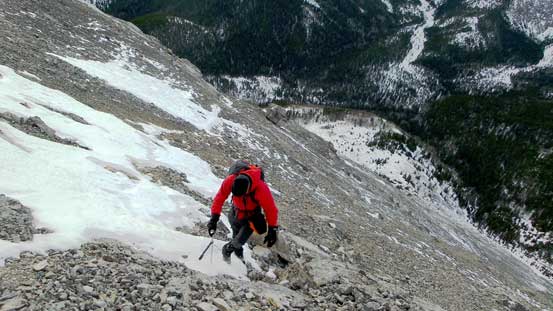
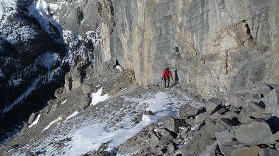
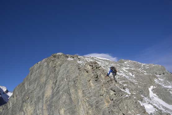
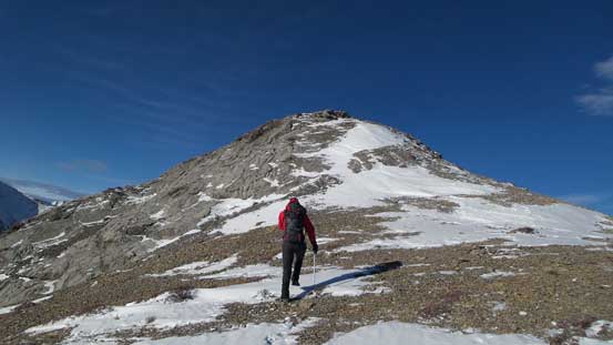
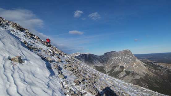
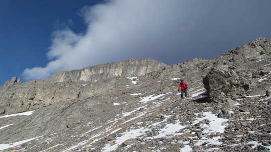
The ascent of East Wendell was nothing tricky but I had to say that scree was horrible… On the lower slopes we utilized the slabs for as much as we could but higher up the treadmill scree slog was unavoidable, with some sections on side-hill terrain. I really regretted not wearing my rigid mountaineering boots, but oh well.. At least the final diagonal slabby traverse to gain the upper south ridge was completely dry. The rest of the ascent along the upper south ridge was easy and we stuck more-or-less on the direct ridge crest.
Hayden traverse a section of tedious scree
Me traversing scree. Photo by Hayden
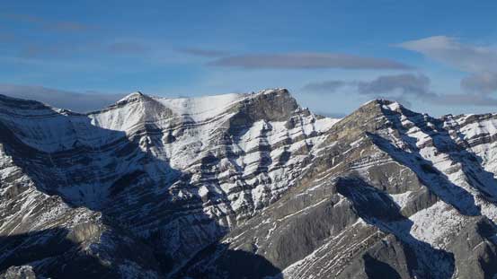
Around to the SW side. The scree route goes climber’s left, slab route goes straight up
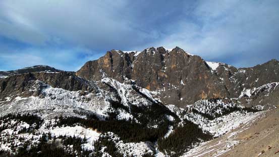
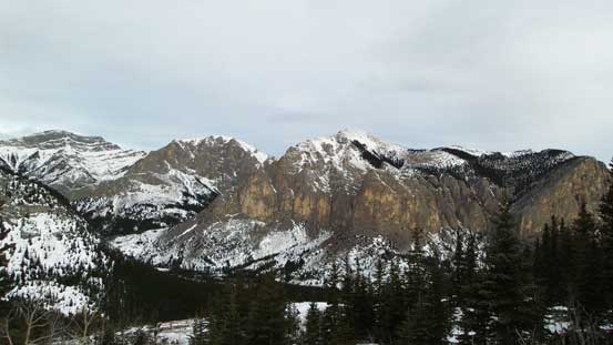
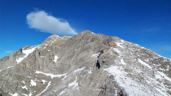
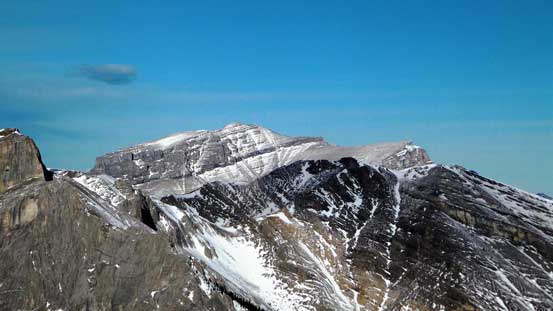
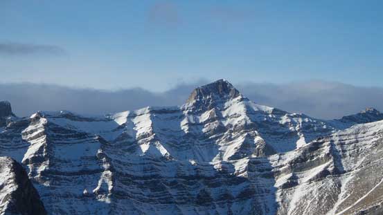
Great view of the true summit of Wendell Mountain
We picked the slab route. Photo by Hayden
Higher up we had to deal with scree again…
This is a critical part. Traversing a short slabby section to crest the upper south ridge. Photo by Hayden
Looking back at Hayden on the critical traverse
Me tackling a direct line on the ridge crest.
Typical scrambling on the upper ridge. Still quite a ways to the summit
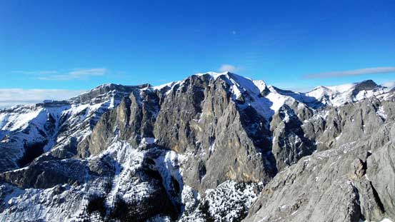
True summit of Wendell is always the eye-catching peak
Near the top
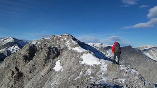
The last few steps to the summit
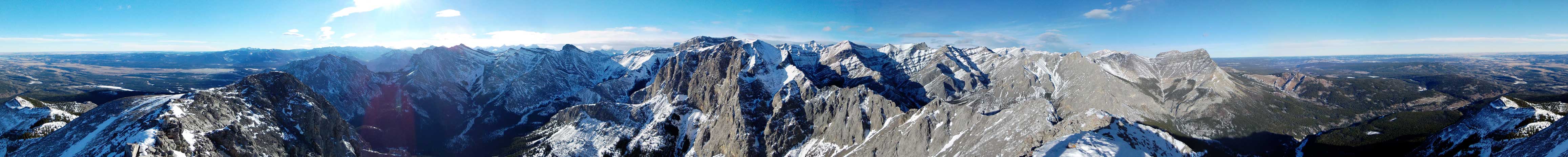
Summit Panorama. Click to view large size.
Association Peak and End Mountain
Orient Point
Saddle Peak
South Ghost Peak
Mt. Townsend
Wendell Mountain
Hassel Castle
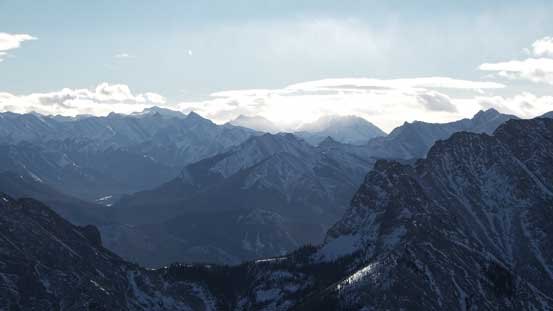
Peaks down by Kananaskis Valley.
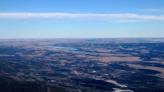
Oh the exciting prairie…
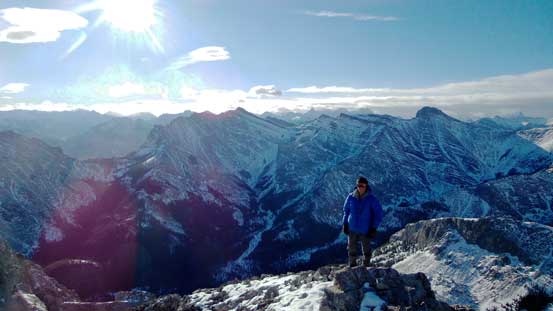
Me on the summit.
On the descent wind gradually became stronger and on a few moments I almost got knocked off ground. The scree run on the lower slopes wasn’t nearly as great as we thought neither. It was too shallow probably due to the fact the ground was frozen… That was quite awful especially when wearing hiking shoes only. The rest of the return was long and tedious. I must have caught a flu somehow and felt quite sick throughout the trip, and towards the end that final slog from Yam’s shoulder back to parking lot really felt like eternity..
Hayden ready for the descent
“Scree skiing”… The scree was too shallow and it was quite painful
More about the descent
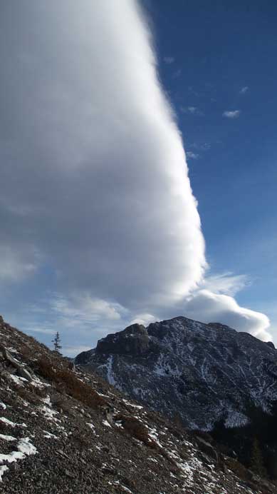
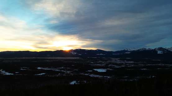
The chinook belt explains why it was so windy..
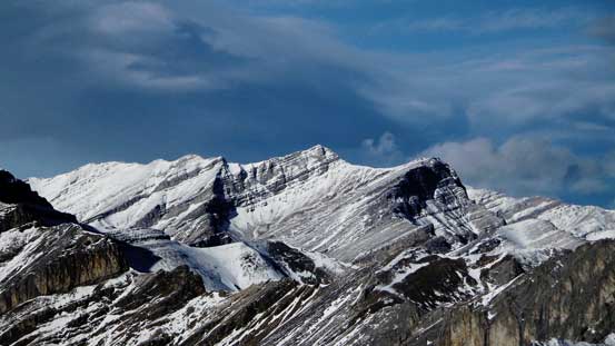
Looking back at our objective
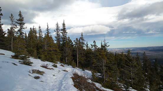
Finally slogged back to Yam’s shoulder
One last view from Yam’s shoulder
Our round trip time was less than 7.5 hours and that was actually faster than expected, as we didn’t even need to use headlamp. Overall I’d say East Wendell is a good winter objective, but too bad I had to go home after this ascent due to illness. I was planning to bag few more peaks but looks like I’ll not be able to get out until near New Year.
