Peak 1431 (SW of Penticton)
November 2, 2021
1431m
Penticton, BC
This is a broad, forested and unnamed plateau immediately to the south-west of Penticton. The highest point of this dome offers some nice views into Marron Valley and boasts over 700 m prominence, but the area is completely within some Indian Reserves such that the access is restricted. There are lots of logging roads criss-crossing the flanks, but driving up any of those is not an option except for the First Nations. I thought the ideal way to tag this summit was in the middle of night when the authorities were sleeping, but Matt proposed an alternative method that was to park at the bottom of some open forested flanks and merge onto the spur roads much higher up. After looking at the maps I agreed with his plan. There was still substantial risks of getting caught (and fined), but this was overall better than parking at the bottom of their private roads telling them that someone’s out there trespassing into their lands. Earlier in the day we had applied the same method for a successful ascent of Blue Mountain.

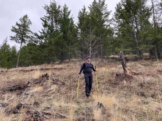
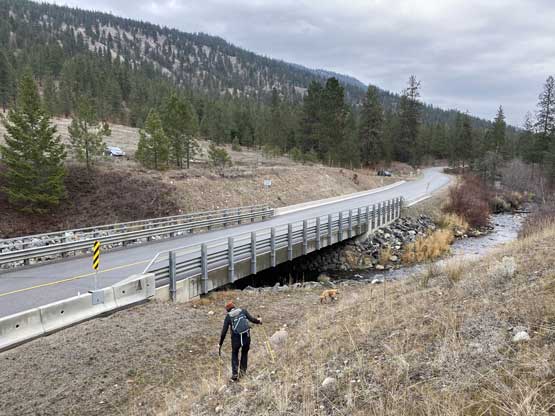
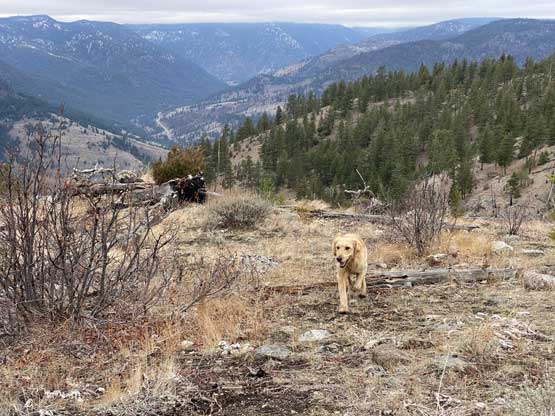
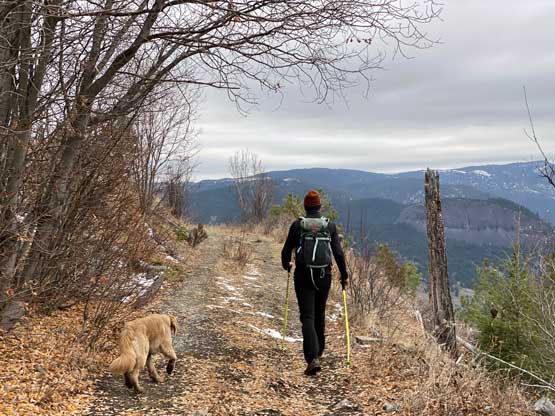
We walked along the highway to cross Shingle Creek on a nicely-placed bridge and then dived right into the forest. There were some thorny plants to push through on the lower hills immediately next to the creek, but the forest soon gave way to some open grasslands. We had a few hundred meters of cruising up the grass fields until hearing a helicopter hovering around. The helicopter flew around for at least two rounds so it’s possible that they were here to catch us, so we dived into the woods to hide behind some large trees. Once the helicopter flew away we resumed the ascent and by this point we were already done with the open grass fields. About 400 m of elevation gain later we merged onto the aforementioned logging road. We did some short-cuts here and there but generally speaking we just walked southwards down the logging road system for a few kilometers. Some of these roads were definitely in driveable conditions but some were more like ATV tracks.

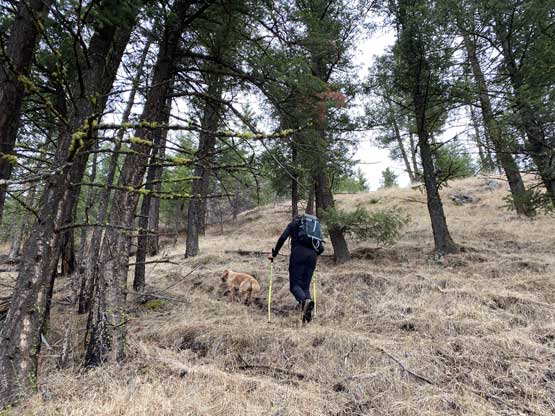


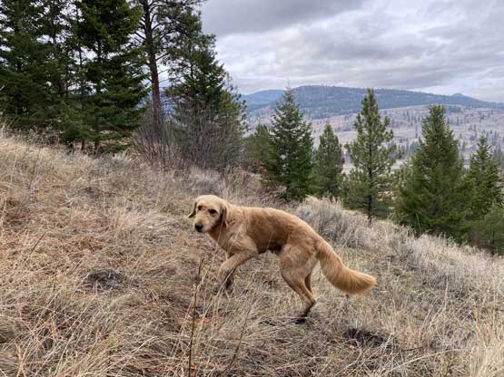
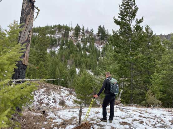
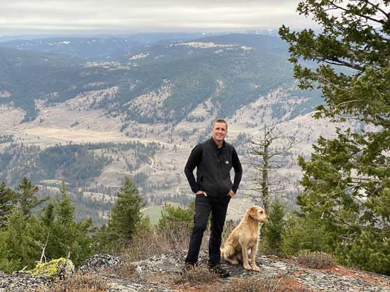
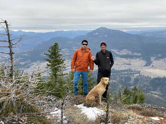
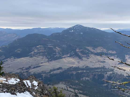
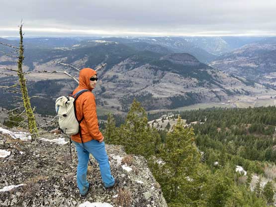
About 200 m directly under the summit block we started to encounter continuous snow on the spur roads. There were fresh tire tracks from ATV traffics. Matt said they were from the weekend but I thought they were more likely made a few hours ago. Not wanting to risk an unpleasant encounter we decided to bail the road to bushwhack straight up towards the summit. There were bands of annoying bushes and some very steep and slippery scree slopes to content with. Nearing the summit we actually found some bluffs to scramble on. The true summit was the southern of the two highpoints on the map but the better view was from an open bluff immediately to the west of the true summit.


On the descent we took a slightly different down from the summit block and encountered more bands of thick bushes. We came out to an overgrown spur road and traversed a short ways to rejoin the “better” roads. We then plodded northwards back down the roads following the exact same route we took on the way in. The final 400 m steep descent back to the highway was a bit tiring as we had already gained 1600 m on this day. Thankfully we did not encounter any human being on this hike and our vehicle was still there intact. We had debated about Ellison Ridge, Big White Mountain or Mt. Laidlaw as the third objective and given our location and the not-so-great weather we opted for Mt. Laidlaw as it’s only 20-min’s drive away.