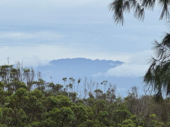
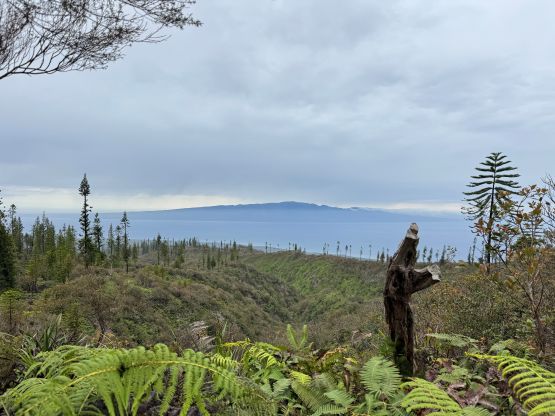
Lāna‘ihale
April 18, 2026
1030m
Lanai, HI
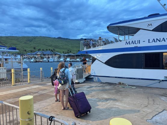
Lāna‘ihale is the highest peak on Lanai island which is the smallest inhabited island in Hawaii that is open to the public. One could fly to Lanai City from Maui or take the expedition ferry and obviously the latter is more convenient. The ferry was used to start from Lahaina and the ride was used to be only 40 minutes but thank to the fire damage, the ferry had moved to Maalaea on the south coast of Maui. This added at least 20 minutes on the water. The round trip cost was about 150 USD per passenger which I thought was quite expensive, but not by Hawaiian standard.
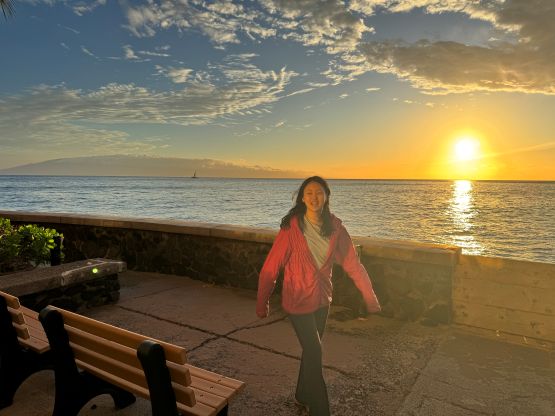
I simply copied Matt Juhasz’s itinerary but I would start the hike from Lanai City by taking the shuttle van service. I’m not sure if this actually saved time as the shuttle van would have to wait for everyone that had reserved it, and the ride to the “city” also took some time. This did shorten the hike by at least 5 km distance and 500 m elevation gain. My feet were already cooked from the 35-km death march on Pu‘u Kukui with multiple blisters so shorter distance was preferred, but I still wanted to make the 1 pm ferry back to Maui as the next one would be 4.5 hours later. There’s not much to do on Lanai to kill that many hours of time and Clair wouldn’t be with me on this outing neither.
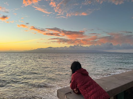
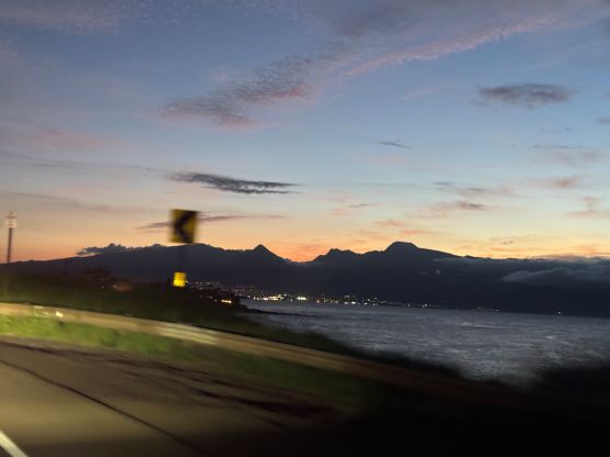
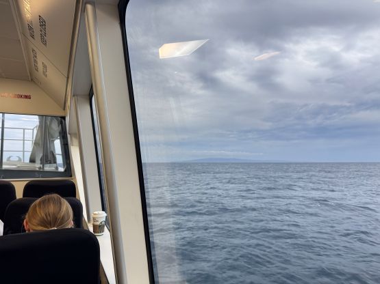
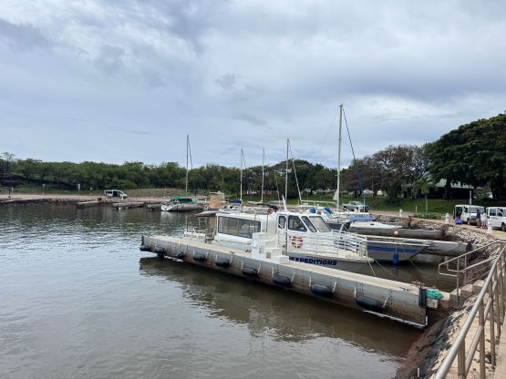
In any case I got up at 4:30 am and took Uber to Maalaea. It was a bit difficult to find a driver at this time of a day. I had actually reserved a ride but Eduard showed up 20 minutes late. This was still fine as I had planned with some contingency. We also had to stop at an ATM for me to grab some USD cash as the shuttle van could only accept cash payment, which was 15 USD one way. Eduard eventually became our private tour driver on the 4th day of this trip. The ferry ride to Lanai wasn’t too choppy in the morning, and the overcast skies prevented me from going out for views. I don’t think they would allow passengers to go out anyway. I then took the shuttle van to Lanai City as planned and the driver was kindly enough to drive a few kilometers farther to drop me off right at the Munro trail-head.
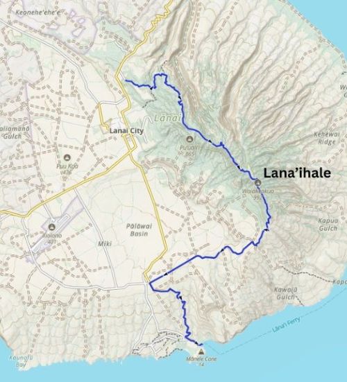
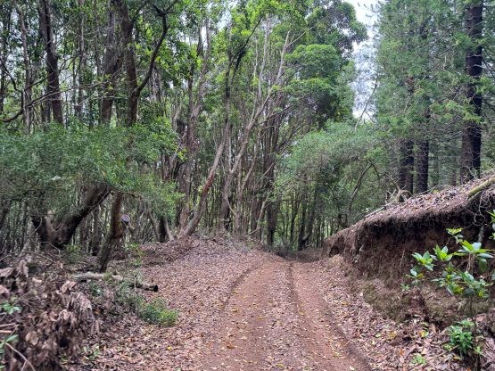
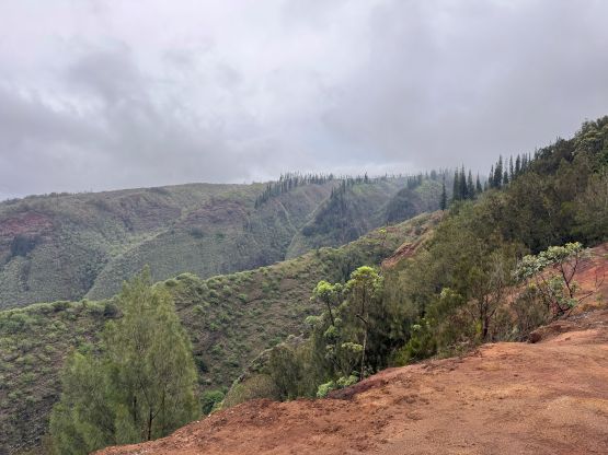
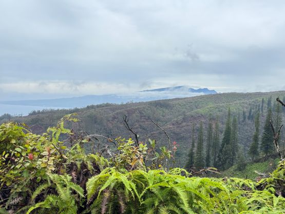
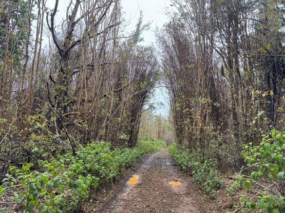
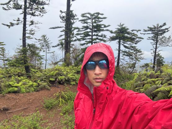
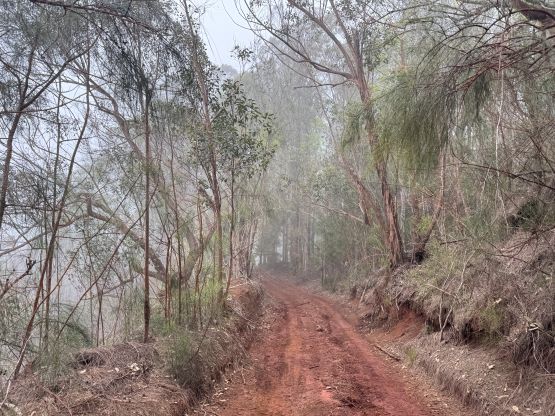
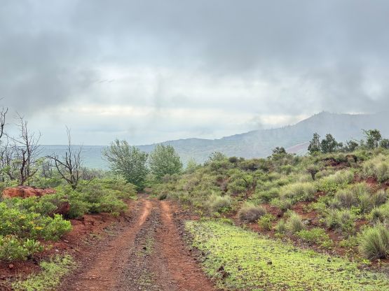
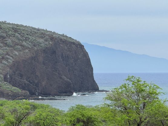
I did some calculations and thought I would have to average over 5 km/h if I wanted to catch the 1 pm ferry back to Maui. The plan was still to go back via the same way to take the shuttle van, but the communication wasn’t clear. It turned out that they were not able to customize a pick-up time but thankfully I caught some cell reception from the summit and was able to text them to confirm that. As a result I ran down the south side of the peak following Matt’s GPX track. There’s not much worth noting about this hike as the entire route followed a Jeep road. The road’s not suitable for driving due to mud and puddles but I also read somewhere that it’s no longer allowed to drive anyway. I got hit by some drizzling and high winds on the upper elevation but the lower zone was quite nice. I eventually had to ran for as much as I could. Hitch-hiking would probably work better but I’m not very experienced in that. Instead, I trusted my own feet and finished the trip in averaged 6.4 km/h for the 26 km death march. The blisters were so bad that I couldn’t even walk properly for the next few days afterwards.
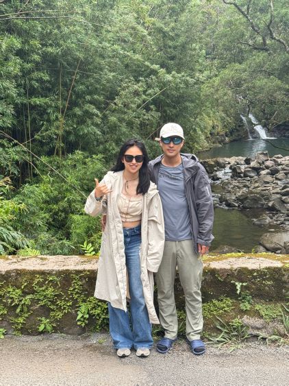
I did catch the 1 pm ride with 20 minutes of spare. The ride was much choppier in the afternoon but this wasn’t my first choppy water experience so it’s fine. There’s not much to do anymore around the hotel especially with my toasted feet so I opted to work for 2 hours online. The next day I thought about to just go back to the airport and work in a nearby McDonald’s, but Clair was keen on doing something. I eventually texted Eduard and we made a cheap deal to tour the “Road to Hana”. We eventually got back to the airport in time for the evening flight back home.