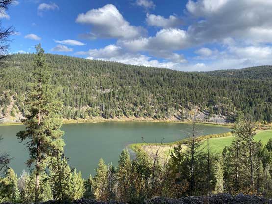
Mount Spearing
September 28, 2021
1717m
Tulameen, BC
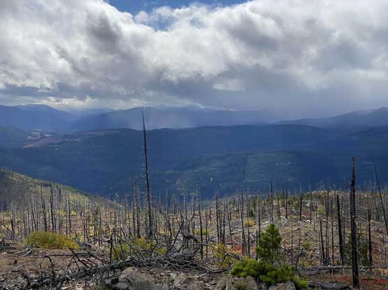
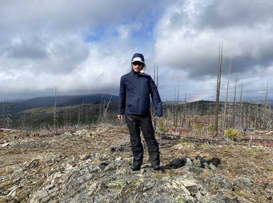
Mt. Spearing is the highest point of a large forested plateau immediately to the north of Tulameen and west of Otter Lake and is also the highest peak Brandon and I bagged in our 1-day slamming of the area. This peak is unfortunately connected towards Mt. Thynne to the north so it doesn’t boast significant prominence but comparing to most of the other “dumpster-ish” peaks in that general area this peak does “stand out” somehow. This is also the only peak we bagged in this trip with a panoramic view from the top as it’s simply high enough for that…
The original plan was to ascent Mt. Spearing from the south-west but upon arriving at the spur road we found a massive deactivation ditch and that meant we had to walk considerable amount of extra distance and elevation gain. I was tempted to just suck it up but Brandon convinced me to go back to the maps and sure enough we found another possible way to get in. The northern access from Boulder Mountain FSR seemed to ascend higher towards the summit so we decided to try our luck on that side. After bagging Boulder Mountain we drove partway down the FSR system and turned left towards Mt. Spearing. This time we did not encounter any aggressive deactivation ditch although the last kilometer was a bit overgrown and rough. The task was easy for the Taco though and we parked at the road’s end.
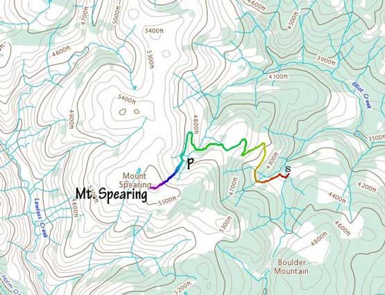
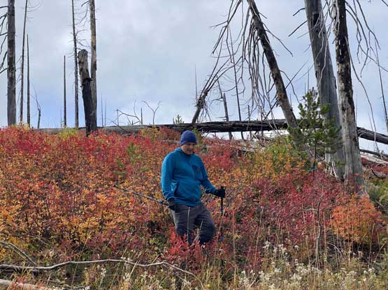
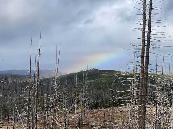
We discussed a few possible routes and eventually settled on the most direct one. We determined there would have fair amount of pick-up-sticks no matter what so we might as well aim to minimize the distance. There were about 200 m gain from the truck to the summit and we dived into the bushes right off the bat. The initial 10 minutes were the worst as we must bash our way through a few intense bands of alders, mostly near a creek. After that we were mostly in a surprisingly nice forest with very minimal brushes nor dead-falls. Higher up the vegetation thinned and pick-up-sticks took over but at that point we were very close to the summit anyway. The bonus was the abundance of fall colours. Unfortunately the summit was very windy and cold and we could see more storms pushing in from the west, so we couldn’t linger too long up there.

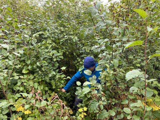


On the descent I checked the GPS a ton of times to make sure we would stay reasonably close to the exact route we used on the way up. The route was mostly free of bushwhacking. Lower down I thought we might can avoid those bands of alders but eventually decided to just deal with it. We had to keep a traversing mode towards skier’s left. Once back to the truck I soon turned on the engine and drove the hell out of this Boulder Mountain FSR system and back down to the town of Tulameen. We still had a few hours of daylight and Otter Mountain would be the next.