Bowman Hill
July 21, 2026
155m
Fidalgo Island, WA
Bowman Hill is the forested pimple directly to the north of Deception Pass on the Fidalgo Island side and sadly it boasts only 99.3 m prominence just shy from qualifying a P100m objective. By the international peak-bagging standard it cannot be counted as an independent peak, but at least the status of the name is official. This outing falls completely into that category of “dumpster-diving” as the “ascent” is entirely a bushwhack and there’s no view whatsoever. Judging by the few trip reports posted on the Peakbagger app the “standard route” seems to be the northern approach from Pass Lake’s boast launch, so I would do roughly the same.
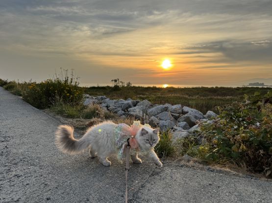
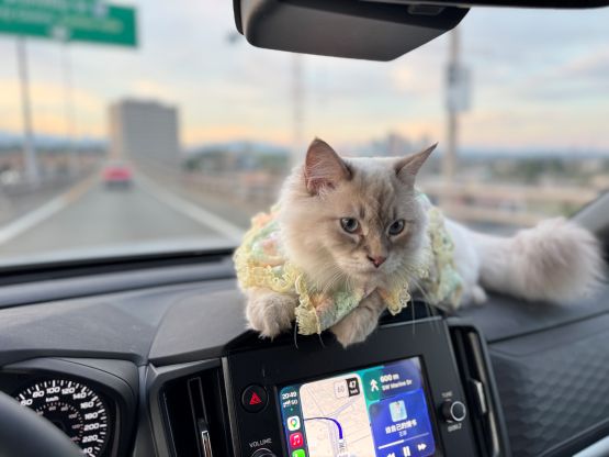
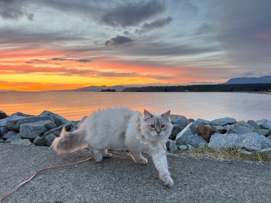
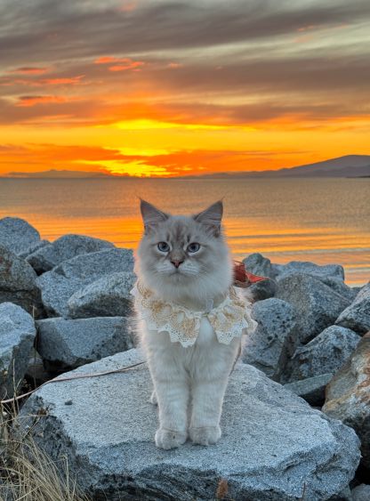
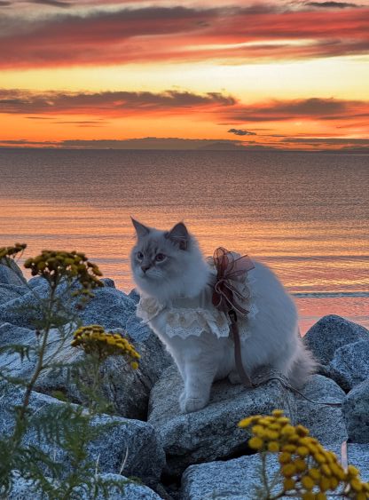
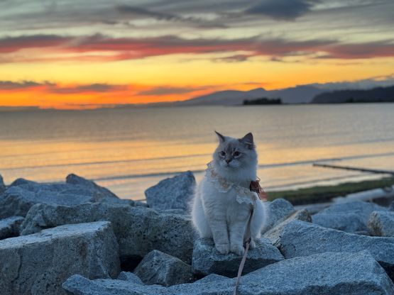
I would normally reserve such an objective for the winter but it could also be used to take Clair and Cheesecake out in the middle of the summer. The plan was to spend some time packrafting on Pass Lake but I didn’t want to go out if peak-bagging wasn’t in the itinerary. I would thrash up Bowman Hill and Clair could decide at the last minute if this was something she’d like to join. We didn’t leave UBC until mid-afternoon but thankfully the border crossing was rather uneventful. We eventually got to Pass Lake with at most 2 hours of daytime to spare so I quickly got myself ready for the bushwhack. Clair decided at the last minute to join but I wasn’t anticipating a fun outing for her.
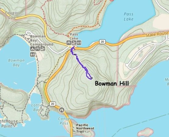
There’s some bluffs guarding the lower flanks and the obvious attack seemed to be from the climber’s left. The crux might be crossing the busy highway as the vision was somewhat restricted and the vehicles were running rather fast. Diving into the bushes I quickly learnt that why this is a seldom done objective despite the close proximity to civilization. The bushes were quite thick and the slope was very steep. About 1/3 of the way up Clair decided to turn around. Cheesecake was complaining most of the time so I decided for him to also turn around with Clair. I continued the upwards thrashing dealing with lots of micro-terrain. The navigation was not trivial even with GPS technology and as expected, there’s nothing to see from the very summit.
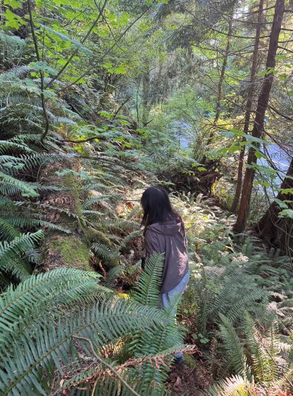
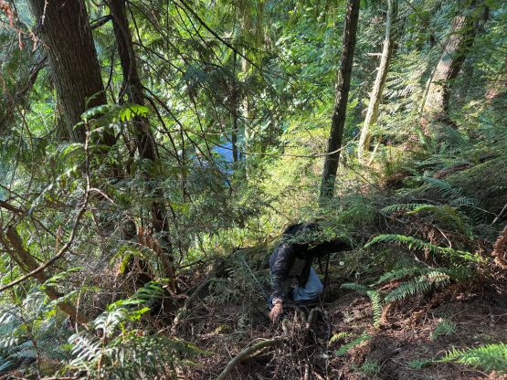
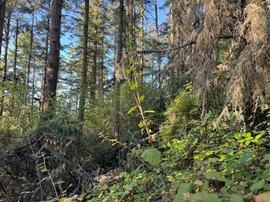
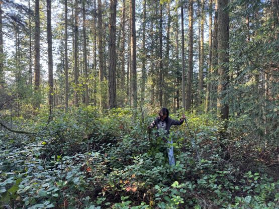
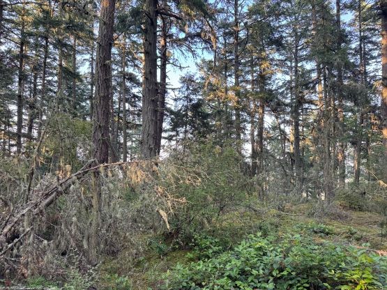
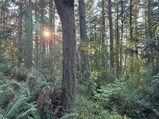
I mostly retraced the route on the descent but at times I had to bushwhack while holding the phone to have the GPS screen for navigation. This was the situation that made me thinking to buy a Garmin watch, as bushwhacking while holding a phone sucked. I eventually got back to the exact same spot where Clair and I separated and she was no longer there. I then carefully descended to the vehicle but she wasn’t there neither. Fortunately I was able to catch some sporadic reception and learnt that she got herself stuck somewhere above the bluffs and had already called for a rescue. The cops were actually arriving but I was able to guide her back down to safety without assistance. It turned out that she was not tracking the route and was only relying on the contour lines of the Gaia app, but she certainly wasn’t able to navigate such complicated terrain on her own.
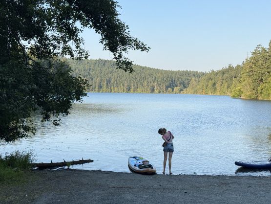
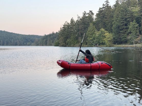
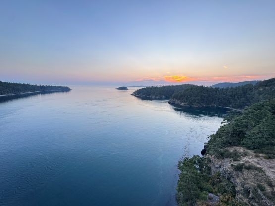
We both got scratched up fairly badly by the bushes but we still had a bit of daytime left, so we did inflate the boat and spent some time on the water. Unfortunately my boat was a 1-person raft so we had to take turn. We then drove to Deception Pass for some sightseeing before driving all the way back to UBC for the night.