Mount Crumpit
September 21, 2016
331m
Squamish, BC
Directly north of the Smoke Bluffs in the vicinity of Squamish there’s an area called the “Crumpit Wood” and Mt. Crumpit is the highest point in it. This is one area more known for the mountain-biking trails but some bluffs do see rock climbers for once in a while. In terms of scrambling and peak-bagging there’s nothing spectacular and I rarely hear people talking about the Crumpit Woods. As the elevation of this peak suggests, people like me wouldn’t expect anything more than just a mere exercise out of it. And in fact, I wouldn’t even notice this little peak if not for some random browsing on bivouac.com’s topographic maps (labelled with peaks’ names).
On the other hand, Mt. Crumpit does seem to offer an opportunity of tagging a summit with some of my other friends. To me this might be just a mere 1-2 hours stroll but when taking people out this could turn into a neat half-a-day outing. On top of that, given the relatively short drive (1.5 hours from north Delta) this can be fairly easily squeezed into a before-work morning hike… That was the plan. I woke up early on Wednesday morning (5 am), picked up Jingjing from near downtown Vancouver and then up the Sea-to-Sky Highway we went. I had no problem locating the trail-head following the clear instruction in Zeljkok’s trip report on ClubTread. But not liking to just park on the street I opted to drive back about half a kilometer. There’s an officially signed parking lot and we’d walk from there.
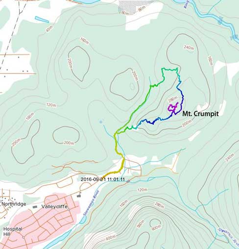
Mt. Crumpit hiking route. GPX DL
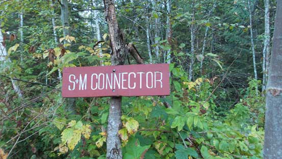
Following the main trail for a short while we took the “S+M Connector” branching off to the right, and then the “Deep Ends (to Mt. Crumpit)” which further branched off to the right. This trail was now much narrower than the main trail but still easy to follow. A few sections were a bit rough and steep but then the views were pretty good through the thinning forest. After a while we reached the first highpoint, unofficially named as “Co-Crumpit”. There’s not much to see from there so we aimed directly towards the main summit.
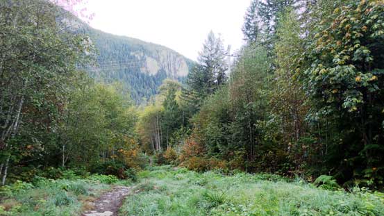
This is the main trail near the start.
The trails are well-signed
Taking the S+M Connector

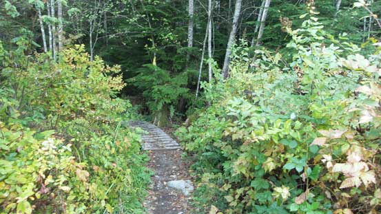
Then up the side-branch. This is the typical terrain

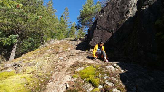
A short scrambling step
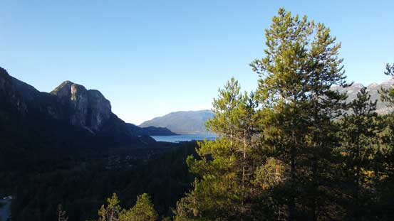
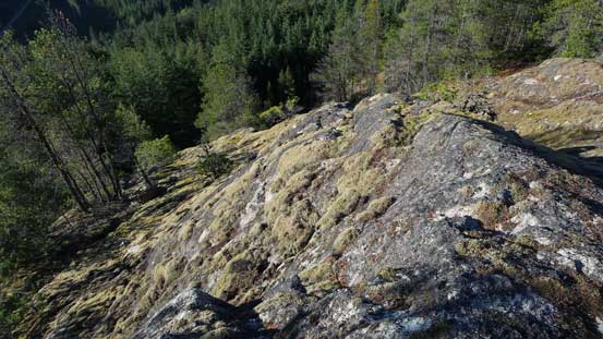
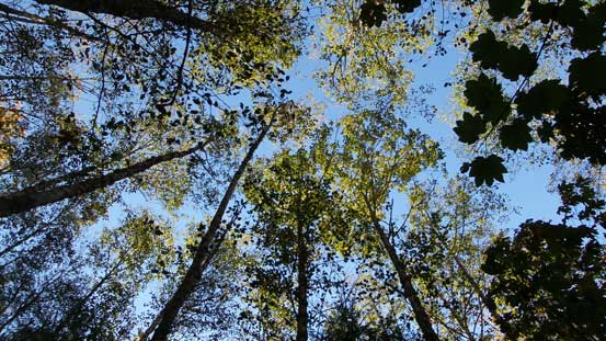
The views started to open up..

But not much to see from “Co-Crumpit” so we moved on.
The trail descended for a little bit and then ascended fairly steeply for a while from the climber’s right side. Once the grade eased we were on the summit area but it wasn’t obvious where was the true apex. The trail led us traversing almost a clockwise circular path and we did get some decent views from several points. The Chief looked exceptionally good and so did the Squamish Valley, and we took a well-deserved break in the sunshine.

Descending towards a saddle
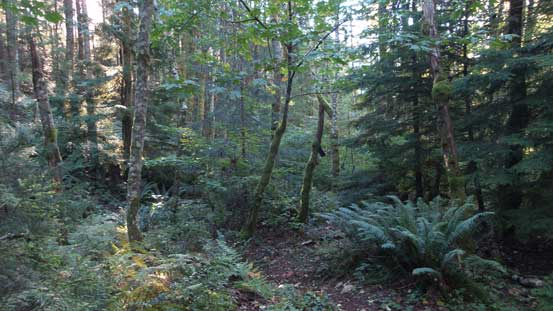
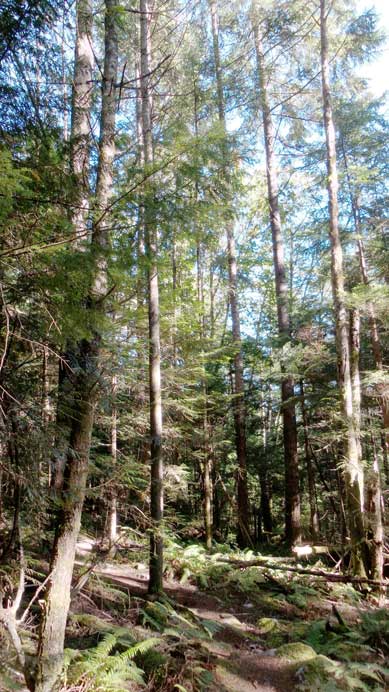
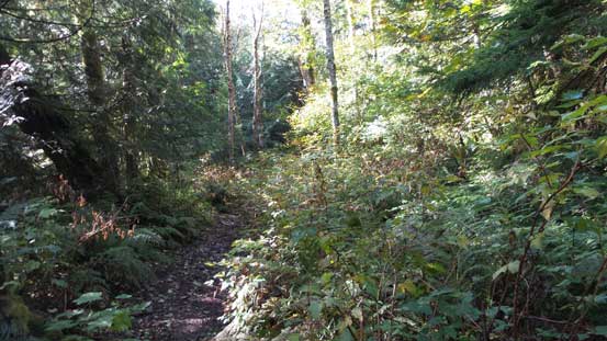
The typical forest around here.
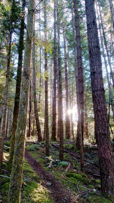
Sun beam through the forest
Going up towards the main summit now
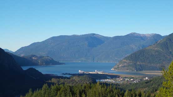
A nice view of Howe Sound
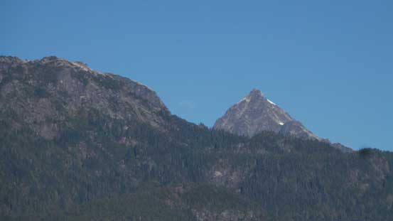
The “Al’s Habrich Ridge” leading towards the summit of Mt. Habrich
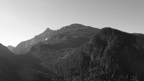
The rarely ascended Mt. Murchison, Mt. Lapworth and Mt. Thyestes across the valley.
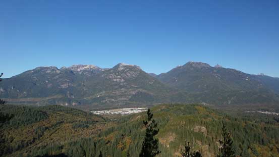
Looking up the district of Squamish and the valleys
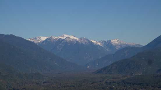
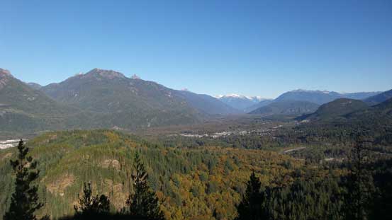
Looking deeply into Squamish Valley towards peaks along Ashlu-Elaho Divide

Cloudburst Mountain
That pointy peak is Alpha Mountain on the Tantalus Range
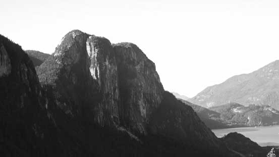
The impressive Stawamus Chief
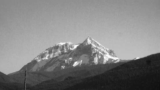
Atwell Peak is definitely one of the most formidable in this area…

Another picture of the Chief and Howe Sound
The south side of the summit area was quite steep actually
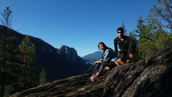
Our group shot on the summit of Mt. Crumpit
Eventually it’s the time to get down. Following Zeljkok’s trip report we went down that “Stairway to Heaven” which involved some easy scrambling on slabby, but grippy rocks. The Woodpecker Trail was then picked and led us looping around the backside. The forest was a bit boring here but the grade was indeed much easier than our ascent route. Lower down we joined the S+M Connector and then followed it back to the main trail, and some road-walk later we arrived at the parking-lot.
Carefully descending the “Stairways to Heaven”
Not much to see now..
The canopy..
Back to S+M Connector
It was still early in the day so we opted to kill some time at Porteau Cove which offered some neat views of the coastal inlets. The traffics were tolerable back through downtown and after dropping Jingjing at her home I went to visit another friend in the city of Vancouver before driving back home for work…
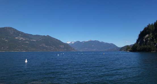
Stopping at Porteau Cove for more views.
Overall this trip turned out just as expected. It would be quite boring and worthless had I gone solo, but taking a friend out did make it a very enjoyable half-day outing. This peak itself, although very small in nature, does offer some unusual views towards the nearby peaks and valleys and worth a visit for at least once.
