Mount Zola
August 28, 2021
1287m
Gold Bridge, BC
Mt. Zola is the long and forested ridge sandwiched between Gun Lake and Downton/Carpenter Lakes right next to the tiny community of Gold Bridge in a remote part of the Coast Mountains. This area is difficult to access such that some long drive on logging roads is required no matter what. The local bikers had built extensive trails on the hillside and all the way to the summit of Mt. Zola but from hiking perspective this peak is rather “dumpster-diving”. There’s no view whatsoever from the very top and much of the hike is in the forest as well. Alex, Vlad, Christine and I did this spontaneously as a bonus objective on the same day as Dickson Peak. Earlier in the day we finished the primary objective earlier than planned so we needed to find something else to kill the rest of this day.

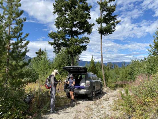
The only “beta” we had was the Gaia map and apparently we could have accessed this “peak” from either the south side or the north side. A trail traverses the entire ridge from south to north over the summit. We picked the southern approach because that side was closer to where we were. A spur road switchbacks up the SW flanks of the hill and we pleasantly discovered this road was not gated. We drove both vehicles up to the highest parking spot and then piled into Christine’s 4Runner. On my map it showed that the road continued another 300 m further even though it appeared to be an ATV track beyond where I parked. Christine was keen to drive further and I was happy to shave off as much walking as possible to conserve energy for the next day. To push further turned out to be a bad decision as we could only drive an additional 100 m and that’s with some heavy pin-stripping and a sketchy turn-around.
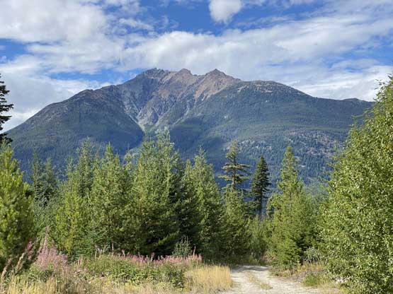

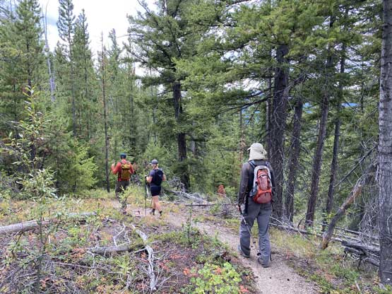
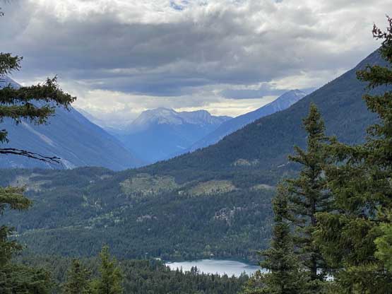
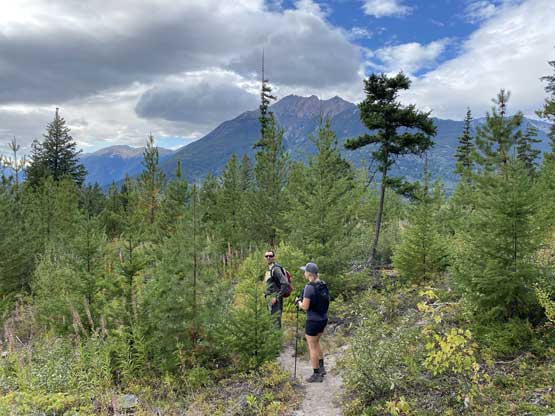
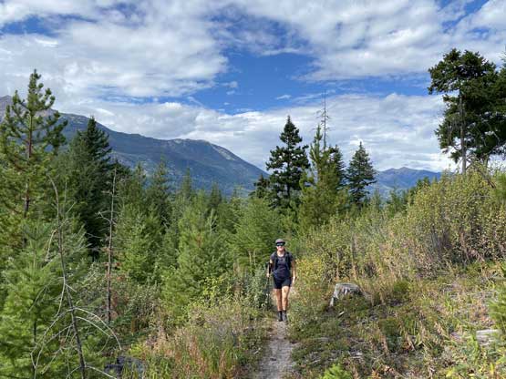
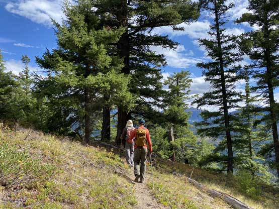
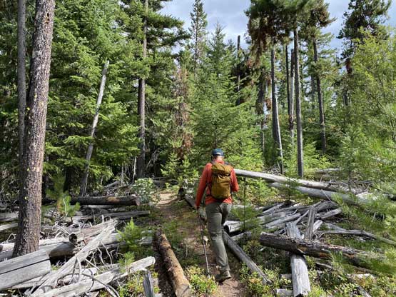
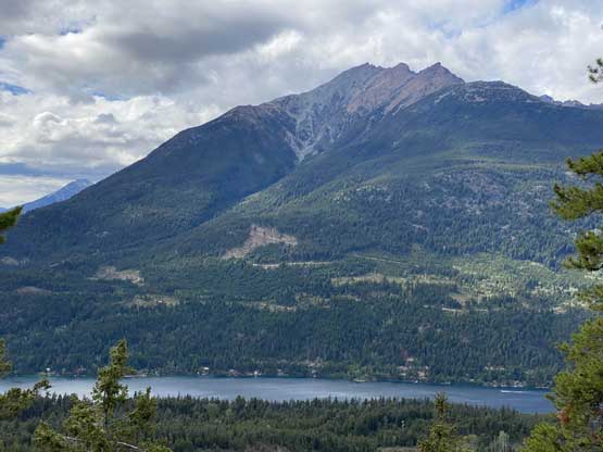
We had some nice views from this drive-up and the parking lot, as well as a viewpoint right at where the trail joined the SW Ridge of Mt. Zola. Beyond that viewpoint we were in the forest the whole way with minimal view. The trail was much longer than appeared and seemed to weave around for quite a bit. There’s also more undulating terrain than we had hoped for. I guess the mountain bikers don’t usually build a trail that goes in a straight line. The summit was very disappointing with absolutely no view whatsoever. It was also difficult to determine where exactly was the highest point such that we had to carefully consult with the GPS to make sure we actually bagged this peak.


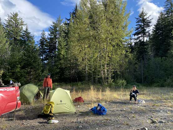
After a break on the summit we leisurely descended following the exact same route we took. The walk-out was very boring and tedious. After the hike we drove to a broad opening area just before the trail-head of Mt. Penrose and settled for the day. It was around 5 pm when we got there so we had plenty of time to rest and set up camp.