Cathedral Mountain (Yoho, BC)
March 4, 2015
3187m
Yoho National Park, BC
For a day-trip in March, you just can’t ask for a better day than this past Wednesday. The avalanche condition was low/low/low, weather was guaranteed bluebird, temperature was cool and road condition was “green” for pretty much anywhere in Alberta.. So my solution was simple – to skip a day for a peak.. Obviously it’s a weekday trip so I had to go solo, but given the conditions I felt safe to attempt pretty much anything I wanted except for heavily crevassed terrain. Over the past few years I’ve read quite a few trip reports about how awesome Cathedral Mountain is, so the choice was simple. As a winter mountaineering objective this big glaciated peak is fairly straightforward, but does require a (relatively) long day, as well as an absolutely bomber snowpack.
There’re two commonly accepted routes on Cathedral Mountain. Most ski mountaineering parties ascended this mountain via the “south couloir route” described in Chic Scott’s Summits and Icefields as it avoids bushwhacking and is the officially published one. Vern and So “discovered” a new route that goes up climber’s right side of the obvious creek (in summer) and managed to avoid that couloir all together, but their route does involve steep and tight bushwhacking. In last April, Brandon Boulier’s K7 climbing group followed Vern and So’s route and reported good travelling conditions on snowshoes, and that’s exactly what I would do on this day.
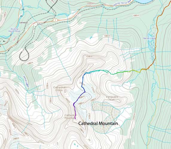
Cathedral Mountain ascent route. GPX DL
My day started from waking up at a not-so-alpine hour of 6:30 am. I knew it’s going to be a long day but given the recent “bullet-proof” snowpack I was expecting my Lightning Ascents to give me fast and easy uphill travelling, and they did not disappoint me. After hiking easily up the Lake O’Hara fire road for about 3.5 km I arrived at a large marshy opening area where I was supposed to leave the road. A solid ice bridge allowed me to cross Cataract Brook without wetting my feet and soon enough I picked up a set of ski tracks heading into the bush. After easily gaining 100 vertical meters or so I realized those tracks were following the creek up so leading towards the south couloir route. It was very tempting to use their tracks but I decided against it and stuck with my original plan, so I veered sharply climber’s right and began my own trail-breaking in the increasingly steep bush.
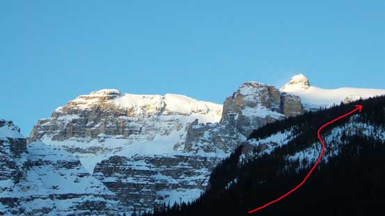
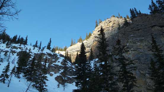
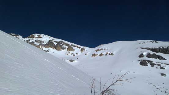
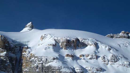
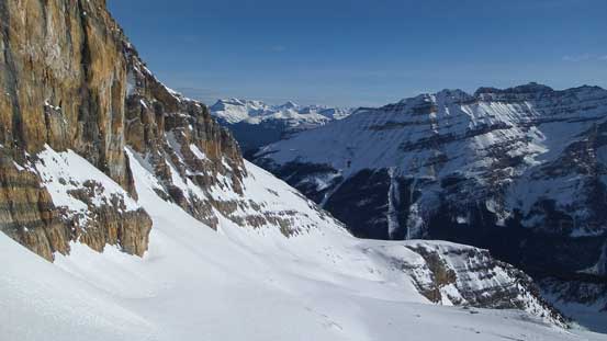
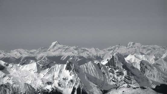
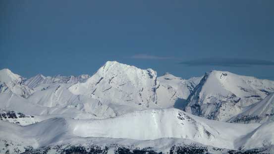
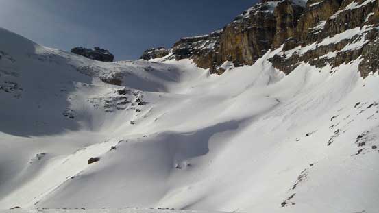
Cathedral Mountain in the morning. My ascent route through trees is roughly shown
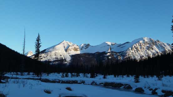
Looking back from the marsh land towards Paget and Bosworth
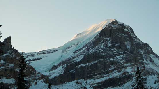
The mighty North Victoria – another one I sort of solo’d.
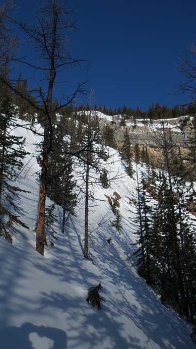
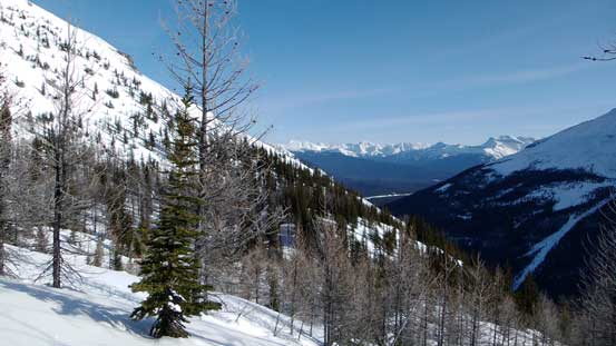
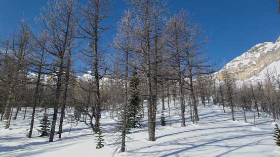
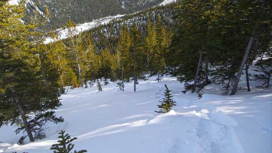
In the next hour or so I could totally see why this wouldn’t be a popular ski route. The bush was fairly dense at places and the slope was quite steep. I would not want to be on skis for this section, neither on the ascent nor on the descent.. The snow was not “bullet-proof hard” neither so I did have to do my own work post-holing. At a couple places I had to haul the tree branches to pull myself up against the gravity. About midway up I came to a micro terrain feature (a cliff band and a gully). I crossed the gully and ascended steeply up its climber’s left side. It was here that the trees had become sparse but I still had to post-hole for quite a long section before entering the larch forest at treeline. The views were opening up and apparently it’s going to be another gorgeous day in the mountains.
I came to this micro terrain feature
Ascending through sparsely treed slope higher up
Entering the larch forest
This area would be super gorgeous in the fall too!
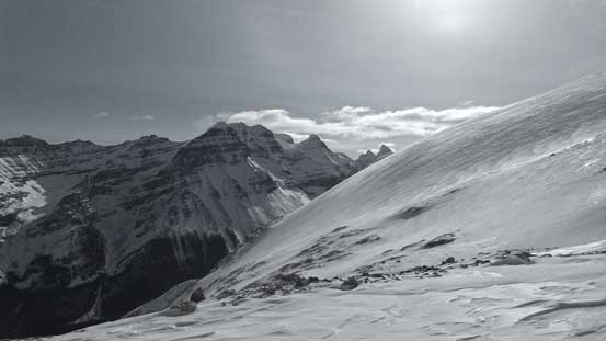
Getting above the treeline. Note the steep slope in the foreground I was ascending..
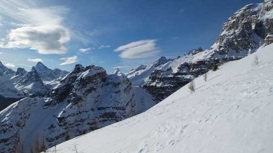
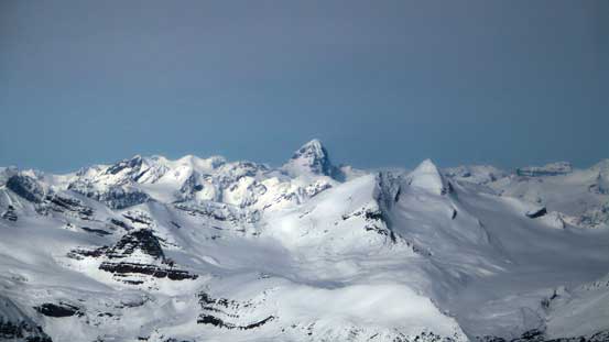
Gorgeous day
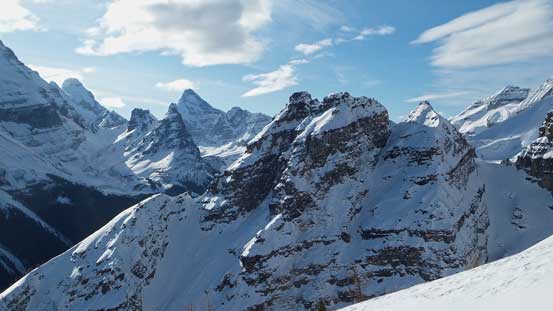
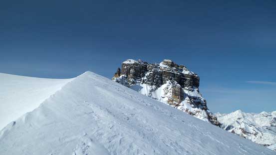
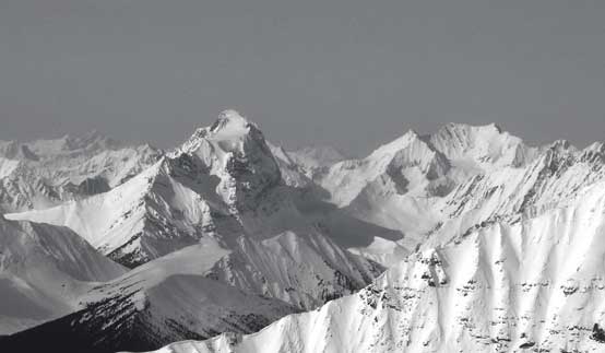
A closer look at Vanguard Peak – a tiny peak, but fairly technical…
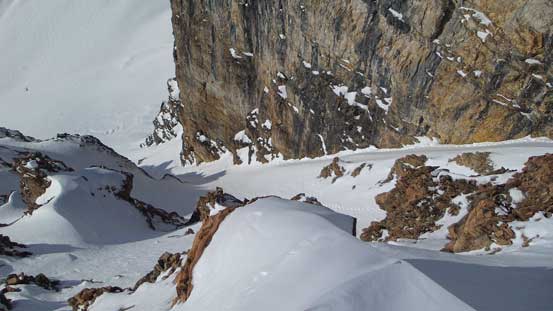
Following basic senses I avoided the temptation to ascend the “natural line” via a broad gully feature on climber’s right as it’s subjected to big slopes on that side, so stuck fairly to the left. And soon enough I arrived at the exit point of that “south facing couloir”. Looking down it felt ridiculously steep but I did see multiple sets of boot tracks. It was obvious that those skiers had indeed come up (and down) this way. Form here on the summer/snowshoe route joins the ski route and the next section would be the crux. For about 1 km I’d have no choice but traversing some 30-35 degrees south facing slopes subjected to overhead hazard and with not-so-great run-out zones. Of course the condition was great on this day. It was actually almost too good and the snow had become rock-hard making some strenuous and fairly sketchy travel on snowshoes. If it was a little bit steeper I’d for sure have to switch gears to crampons and ice axe. And towards the end this section I ascended perhaps the steepest slope (35+ degrees) on this trip, straight up climber’s right side onto the “flat bench” just below the glacier. Here’s also where Vern and So bivy’d on their trip.
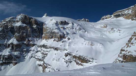
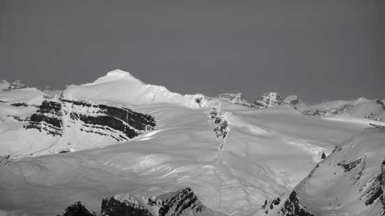
Looking ahead to the upper mountain. Man this mountain is a big one!
Zooming in towards the glacier high above. The high point isn’t the summit even.
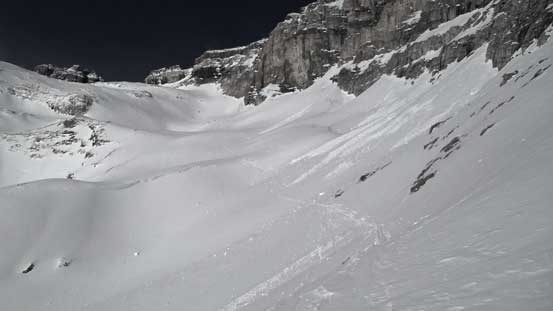
Looking down at the south couloir route. I think this would be the faster way in this day
The long rising traverse ahead
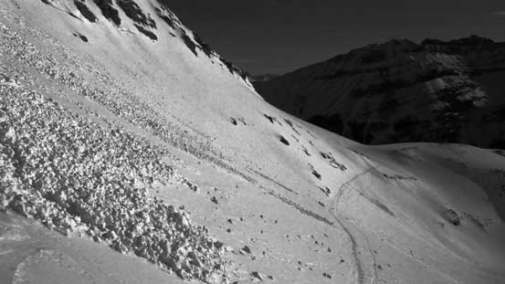
Partway through the crux section, looking back. Note the debris..
Done the traverse. It’s a long one!
Just about to gain the glacier

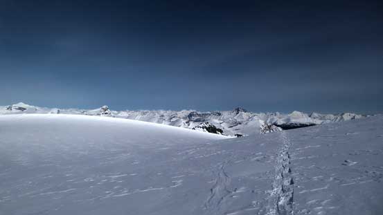
There’s a bit of up-and-downs but nothing major. Here’s also where the summer bivy is.
For some reasons the cold wind suddenly picked up and by the time I made to the toe of that glacier I was forced to put balaclava and ski goggles on. It was brutally cold for a while but at least the views kept improving. I also managed to pick up the set of ski tracks up the glacier making the already-pretty-tame glacier even tamer. The tracks led me up initially way towards climber’s left but turned sharply right once crossing a wind-scoop feature before ascending more-or-less straight up the “icefield”. It didn’t take me long to arrive at the base of that beautiful summit ridge traverse.
Crossing a wind-scoop feature

The “icefield” that’ll eventually lead me to the summit ridge

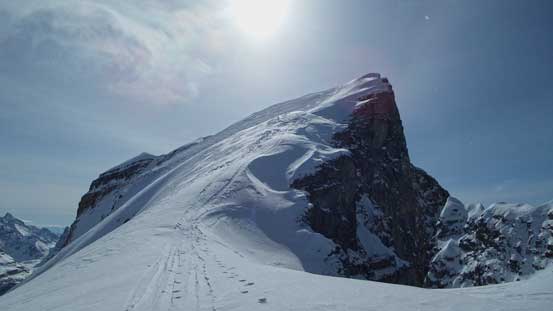
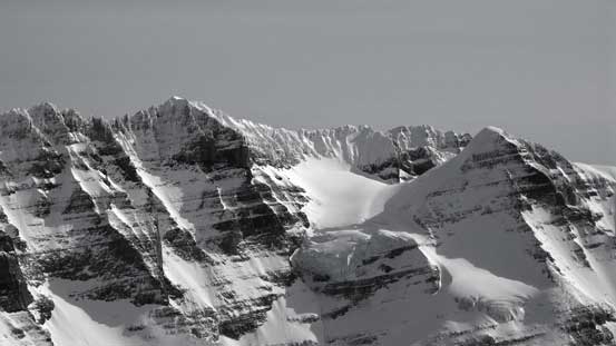
The classic shot of the summit ridge from the glacier

A closer look in black-and-white. You can also see the ski tracks.

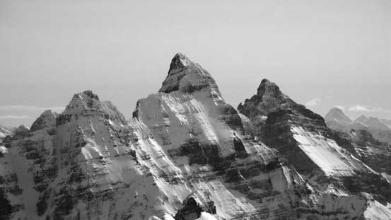
Cathedral Crags
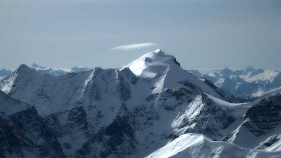
Looking back from the glacier. Mt. Hector dominates the skyline
The last section along the summit ridge looked fairly steep from afar but actually not too bad. The snowpack had to be very stable though as a slide would likely send climbers down the cliffs below, same for a slip if the snow is icy… The skiers managed to skin to within 50 m from the top before boot-packing but with the built-in crampon systems I managed to snowshoe right to the summit. The views were mind-blowing towards each directions with giants like Hungabee, Goodsirs and Sir Sandford stealing the show.
The last bit to the summit along the ridge

Looking through a deep gap. Anyone volunteers on that tower?!
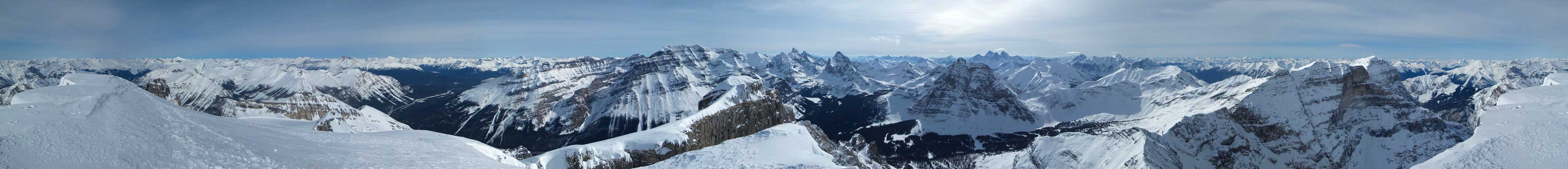
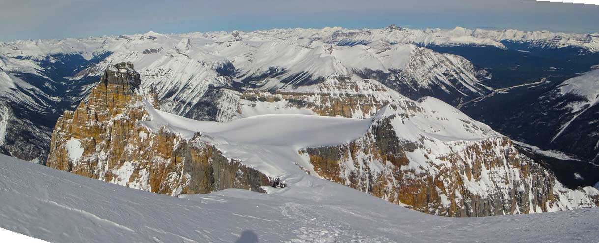
Summit Panorama. Click to view large size.
Hungabee with Deltaform just to its right. Assiniboine way in the distance on the far right
Mt. Biddle is such a sexy peak too
Mt. Victoria and Mt. Huber – hopefully I can get 1.5 days this summer to climb them.

The mighty Mt. Goodsir
Mt. Vaux is also been on my list for quite a while

Howser Towers and Bugaboo Spire rise behind Chancellor Peak on its left shoulder
Way in the distance are giants in the Southern Selkirks including Mt. Wheeler and Mt. Dawson
Mt. Sir Donald dominates the skyline
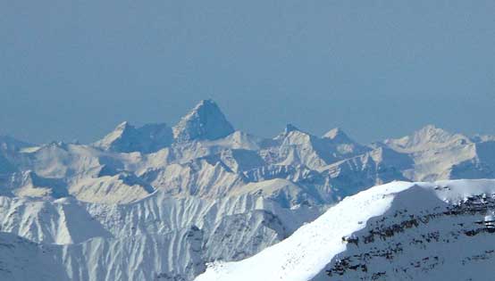
Mt. Sir Sandford and Adament Mountain in the northern Selkirks
Mt. Laussedat is another gorgeous looking peak
Mt. Forbes pokes behind Mt. Des Poilus
The king of the Wapta – Mt. Balfour

Mt. Hector is probably the most popular 11,000er in winter
I had good memories on Cataract Peak too – a rarely ascended peak

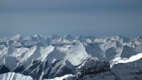
Mt. Douglas and Mt. St. Bride – giants behind the Skoki area
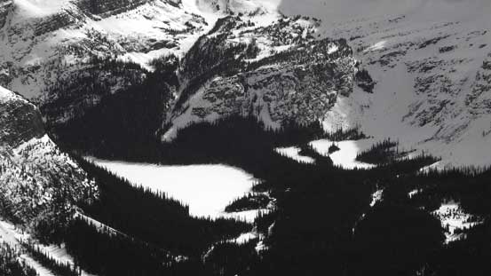
The frozen Lake O’Hara

Me on the summit of Cathedral Mountain

A vertical panorama from the top. Click to view large size.
Another panorama from the summit showing the glacier. Click to view large size.
Due to the fact I was soloing I didn’t linger much longer on the summit. After carefully descending the summit ridge (making sure not to lose balance on the hard snow) I got back down to the “icefield”, and easily plunged down using or right beside my own tracks. Negotiating that long rising south-facing traverse was still strenuous but at least the sun had softened the snow a little bit. I also managed to walk back without the need to take my snowshoes off. Now the pressure was finally off. After taking a necessary lunch break I got to enjoy a fast plunge down the steep sparsely treed terrain immediately below treeline. This was the only section with good snow. Lower down not so much as I re-entered the steep and tight bush. But overall I managed to descend fairly fast and efficiently.

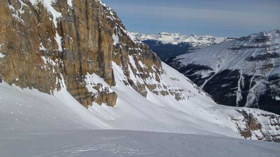
The impressive glaciated face from the descent
Ready for the traverse
Done the traverse!

Gorgeous afternoon. Looking towards Victoria and Huber
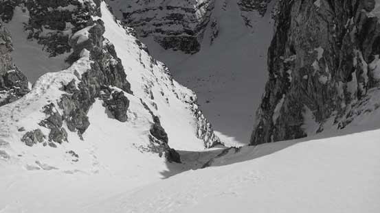
Looking down the south couloir route
Almost back to the treeline
Easily plunging down the “good snow”

Nice and sunny!
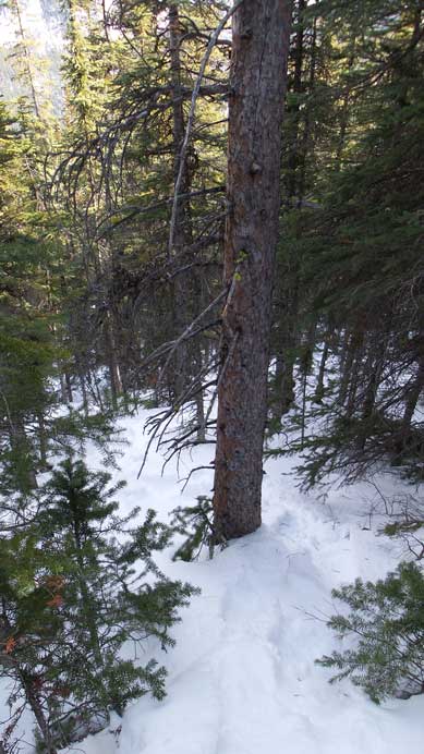
Now came the bad part. Tight and steep bushwhacking…
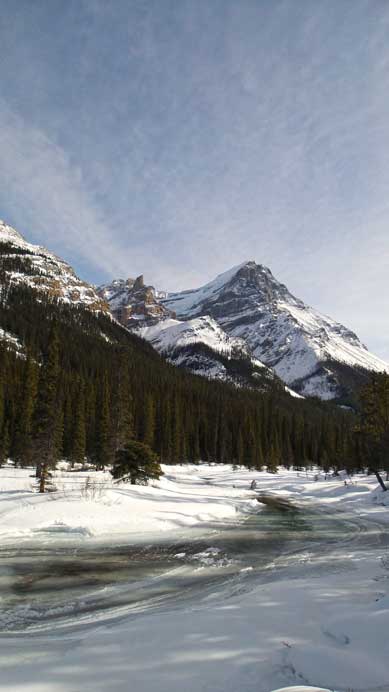
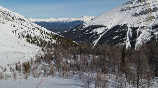
Down to the Cataract Brook now, looking towards North Victoria
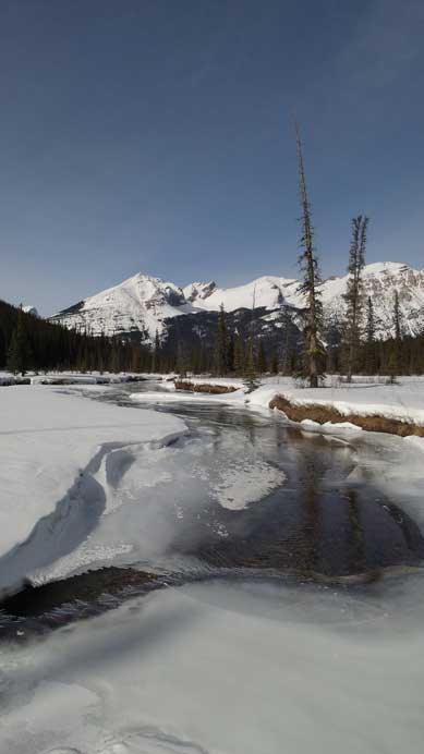
Cataract Brook
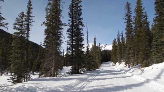
Back to the final slog along the Lake O’Hara road
The final walk along the Lake O’Hara road went by uneventful and my round trip time was 8 hours 40 minutes on a steady pace. I did not feel like rushing neither so it’s overall not as long as advertised on other websites. I can see that bivy site will be very gorgeous with the sunset/sunrise views for photographers, but speaking this climb it should be a solid day-trip for fit parties. There isn’t really anything “fancy” on this mountain and I’d definitely recommend as a winter ascent, just be sure to pick a day with stable snowpack.

Many thanks for your excellent log and pictures of this climb !
cool