Mount Shuksan
April 3, 2016
2783m
North Cascades National Park, WA
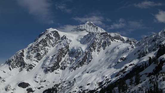
There’s not much to introduce about Mt. Shuksan as it’s arguably the most beautiful, and the most photographed peak in Washington state, if not in the entire “Lower 48”. This rugged glaciated massif is steep, complicated, impressive and unique from all sides and having already seen it up-close I can safely say that its majesty is comparable to most, if not all of the Canadian Rockies’ 11,000ers. In its immediate vicinity (ie. the Washington state), there’s no such peak to match its structural beauty. Needless to say, when it comes to mountaineering opportunity this has the reputation to be one of the finest objectives in the North Cascades and should be on every climber’s dream list.
For that reason Mt. Shuksan boasts more than a dozen routes ranging from “intermediate level” mountaineering to “hardcore”. The easiest way is by a long plod up Sulphide Glacier from the south but that also involves the longest drive/approach (likely multi-day). The standard summer route via Fisher’s Chimney is a mix of class 4 scrambling with some steep snow/ice and glacier travel, while the shortest winter option is by White Salmon Glacier from north which is a long and complicated steep snow ascent. Given my experience in various terrain my decision was to solo-attempt the White Salmon Glacier route on snowshoes, and this past Sunday seemed like the perfect one.
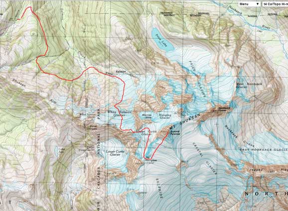
Mt. Shuksan winter ascent route via White Salmon Glacier. GPX DL
Most folks would opt to break it down into two, if not three days but I figured one long day should be more than enough. I WAS aware that the initial approach up White Salmon drainage would be a tricky one even in daylight time and adding to the fact this was my first time ever approaching this way the first few hours were gonna be “interesting” to say the least. Instead of waking-up super early I drove up the Baker Highway immediately after finishing work in Saturday evening and car-camped somewhere along the road. I resumed the rest of the drive at 3 am in the morning and was surprised to see the gate to White Salmon Lodge (the lower parking lot for the ski resort) was closed… Not wanting to just park outside the gate I drove about 1/4 mile down the road, parked at a large pull-out, walked to the lodge and the long day began from there…
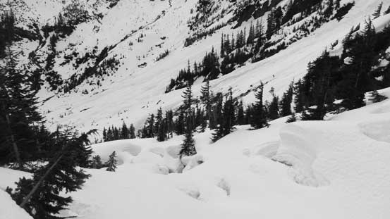
The initial 20 minutes or so was by following a groomed cross-country ski run on the boundary of the ski resort and before making to the “Chair 8” there’s a side branch leading outwards and downwards with some fresh skin tracks. I made a horrible mistake by following that set of skin tracks thinking it’s a “short-cut” into the White Salmon drainage. The tracks kept descending steeply and in short time I started bushwhacking. I started traversing side-hill only to be blocked by two major gorges/waterfalls. I kept descending for another hundred meter or so and the terrain only got steeper and steeper with no obvious break to cross those gorges. There’s no overnight freeze at all the tree-wells were impressive (and scary at the same time) so not wanting to mess around that place I made the (correct) decision to bushwhack all the way back out of the forest. The post-holing was horrible and at times I had to climb up some near-vertical “snow lips” created by various vegetation.
In the end after wasting about 1.5 hours time, a ton of energy and brain-power I eventually got myself out of the hell. Now the sky’s getting brighter such that I could see the outline of the route I was aiming for. Having Steph Abegg’s trip report in mind I decided to go upwards and hopefully find the “high route” that Steph talked about. In a while I was surprised to be back in the ski resort (how frustrating that was)… Now with the gorges becoming mellower and mellower to my left I went searching for a way across. I did find one and after that I aimed for a “ramp feature” which appeared like a natural feature to start the “high route traverse”. I had no idea if that’s my intended route but at this point all I could do was to explore it out. Thankfully it did turn out to be a passable way…
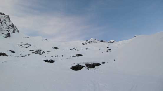
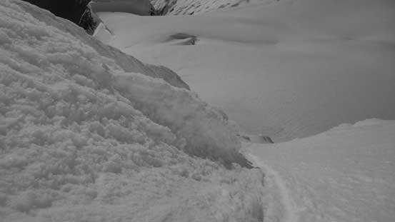
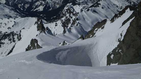
Over a long section of steep side-hilling (yes, on snowshoes which sucked), two or three troublesome creeks and then a long down-hill traverse on the edge of a huge slide path (while losing more than 250 m elevation) I eventually got myself down into the bottom of that White Salmon Creek. The slide path (already slid with impressive debris all over the place) had yet to be crossed and after that I finally picked up some faint set of skin tracks and from there on I knew it’s going to be a long plod (more than 1000 vertical meters) firstly to the head of the drainage and then up White Salmon Glacier. The freeze was still poor here in such way that as long as I was not on the skin tracks I would break the crust, sink and then slip backwards. The skin tracks would suck for snowshoe travel for simple reason that they were aiming to traverse back-and-forth instead of shooting straight-up, but still, that beat post-holing.
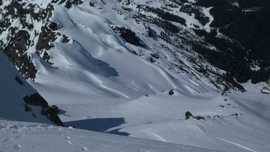
Had to lose elevation all the way down there
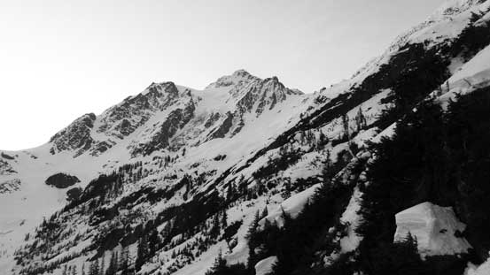
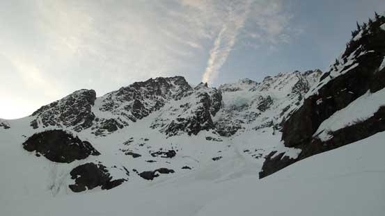
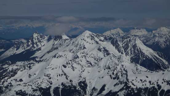
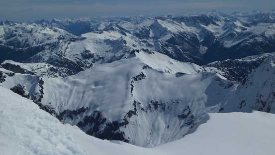
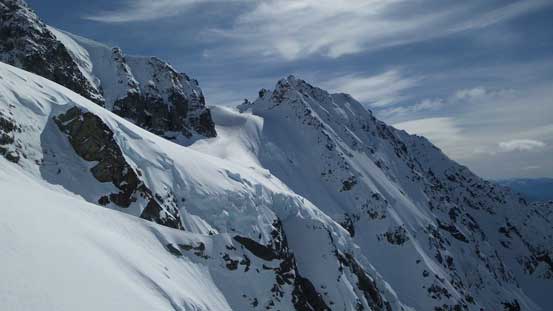
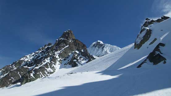
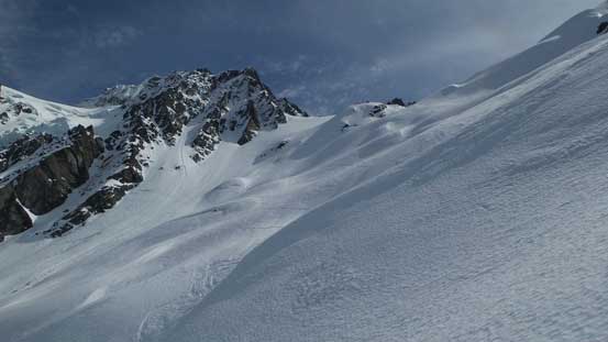
A view of my objective…
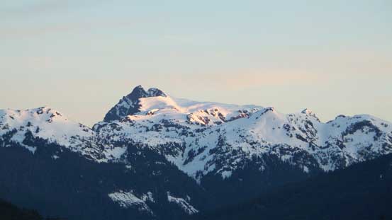
Tomyhoi Peak on alpenglow
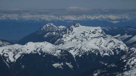
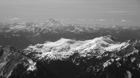
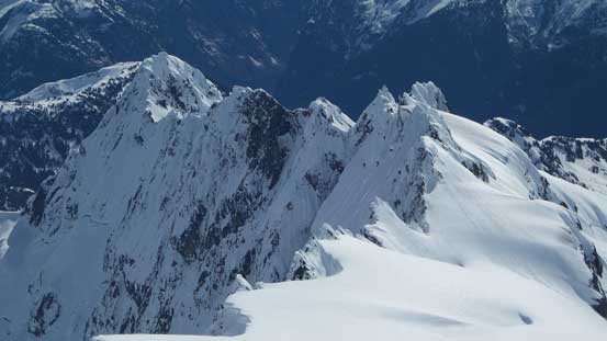
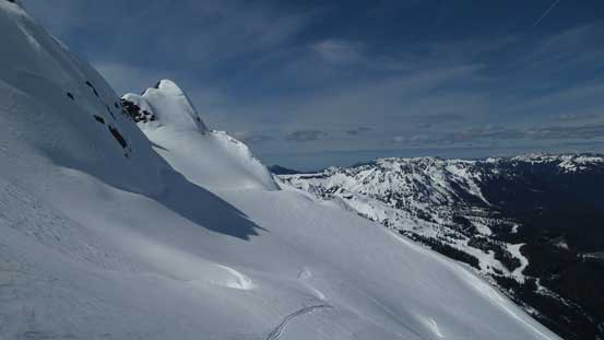
Big country up there!!
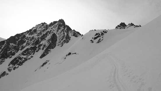
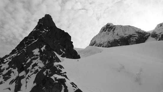
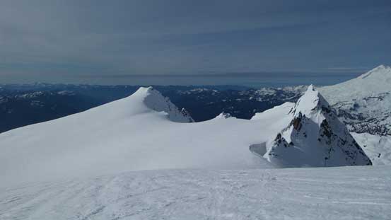
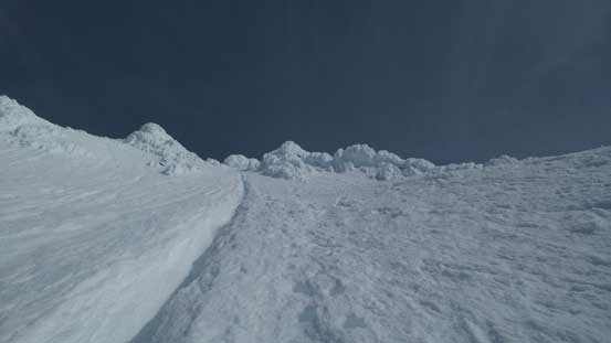
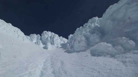
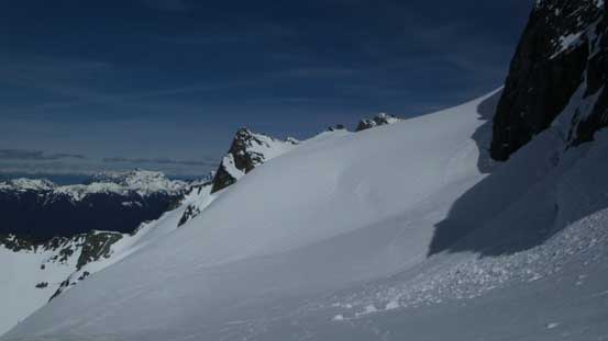
The White Salmon Glacier was long (as mentioned before) and steep with lots of micro-terrain involved. The skin tracks had eliminated most, if not all of my route-finding which I greatly appreciated. A few steep side-hill traverses, a few rolls and then a few open crevasses (easily avoided on their tracks) later I could see my altimeter reading approaching 2000 m and the next thing I had crested the ridge top on Shuksan Arm. Following the broad ridge upwards and then boot-packing up Winnie’s Slide (45 degrees snow climbing, and again, thank to the tracks from previous parties) I was surprised to see two tents on the saddle and two skiers boot-packing down the upper mountain.
Ahead is the very foreshortened White Salmon Glacier
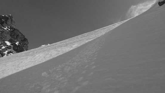
A typical view of the plod up White Salmon
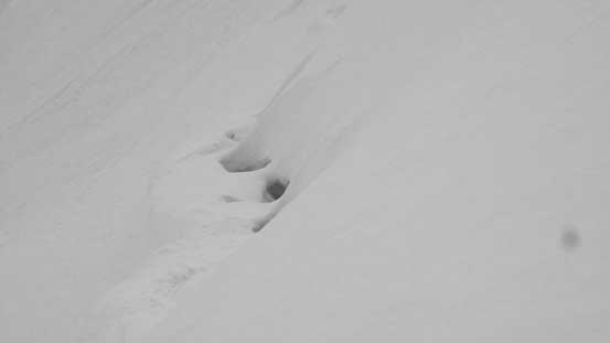
One of the bigger crevasses
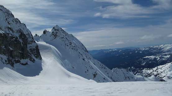
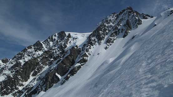
On top of Winnie’s Slide now, looking ahead
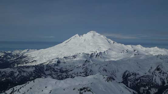
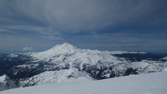
Gorgeous view of the nearby volcano – Mt. Baker
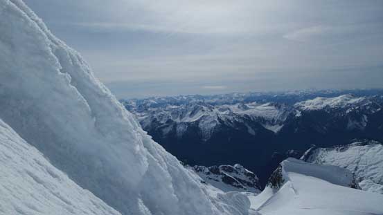
Swapping snowshoes for boots again and not doing any unnecessary break I merged to the edge of Upper Curtis Glacier and then up the initial steep roll. The skiers had just made the summit and packed some excellent boot tracks and after wish each other “good luck” we resumed our own paths. The traverse of Upper Curtis was scenic and aesthetic but the down-side was another hundred meter or so’s elevation loss. And then it’s time for “Hell’s Highway” to gain the upper stretch of Sulphide Glacier. The “highway” also involved a section of steep snow climbing and fairly foreshortened. Once gaining Sulphide Glacier I took my first long break of the day in the sunshine.
Traversing the Upper Curtis, looking ahead to Hell’s Highway
Up the Hell’s Highway and onto the Sulphide Glacier now
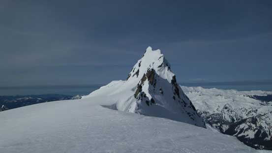
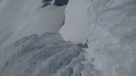
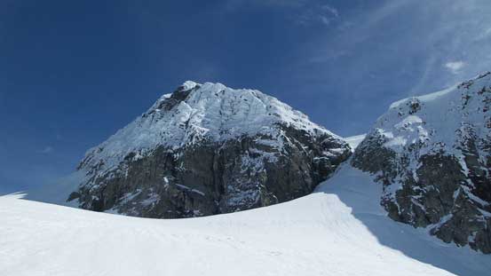
As I plodding up the foreshortened Sulphide Glacier the appearance of that infamous “summit pyramid” was getting more and more impressive. In short words – it’s looking STEEP… The first sight of it made me glad to have hauled my technical ice tool up there. At the base of it I ditched snowshoes and other unnecessary gears, picked up the set of boot tracks and up I went. The two ice axes soon became handy as the slope increased to 45 degrees in no time. But again, with those pre-set boot tracks it was a “mountain highway” to me. Near the top the grade steepened even further and then the couloir narrowed down into a series of rime ice channels. The previous guys went up climber’s right side which involved one strenuous move to hit the very upper reach of SE Ridge. The super duper exposed ridge was then easily followed to the summit. There’s a huge sense of satisfaction to be standing up there.
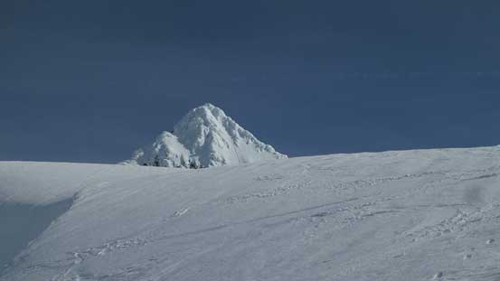
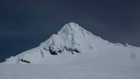
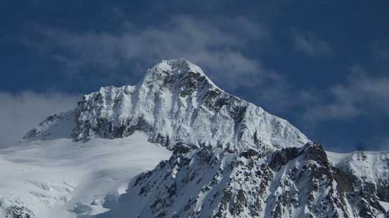
The first view of the summit pyramid
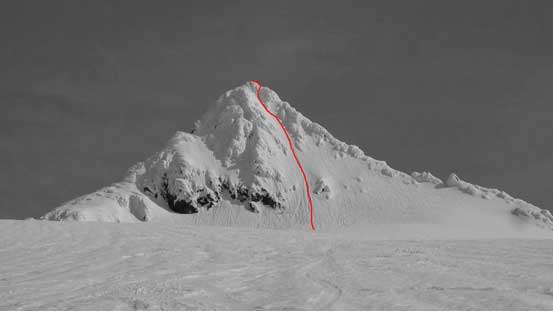
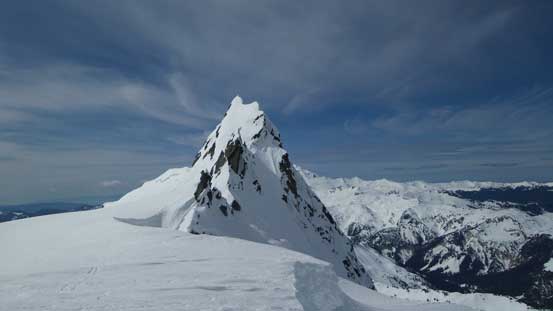
The Summit Pyramid with route shown
Up the Sulphide Glacier I went, looking back..
At the base of the Summit Pyramid
Up the face I went…
Looking sideways across the face
Partway up, looking down
The upper reach
Exiting the rime ice channel, looking down

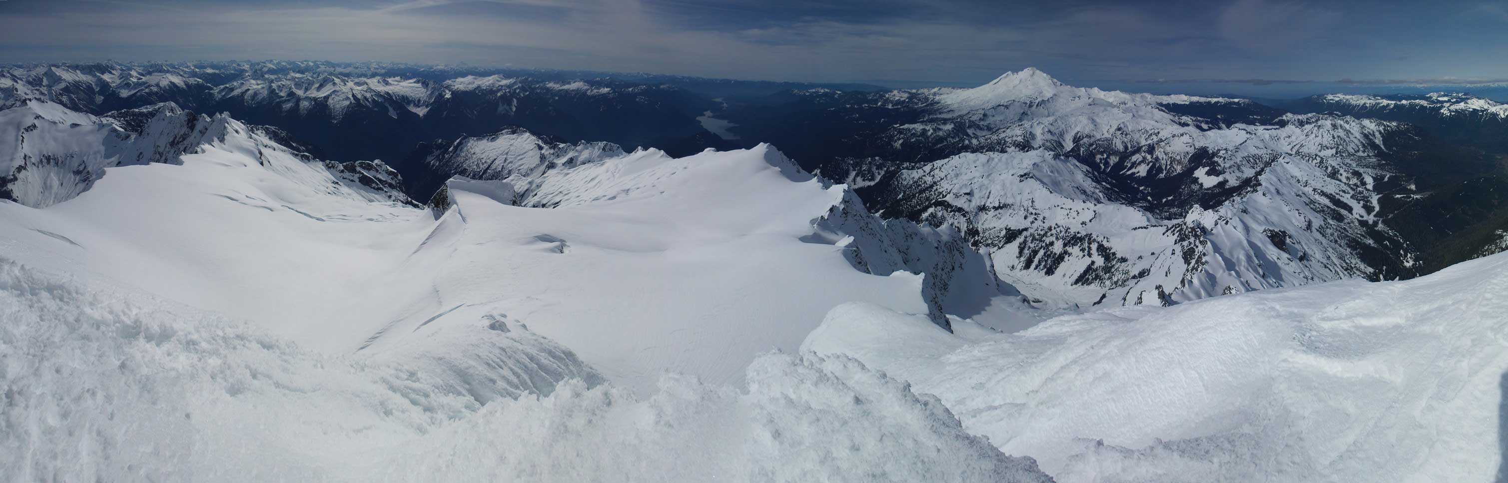
Summit Panorama from Mt. Shuksan. Click to view large size.
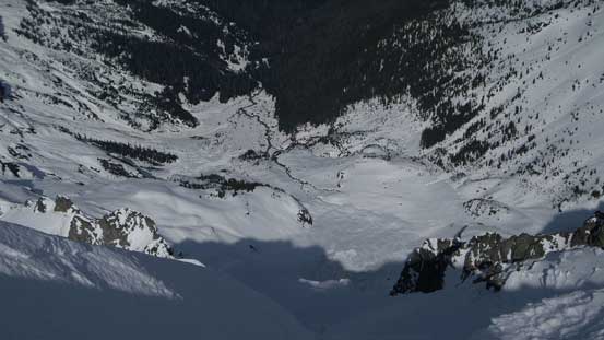
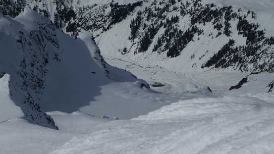
Looking way down to White Salmon creek where I came from..
A cluster of peaks by Baker ski resort are all looking tiny now
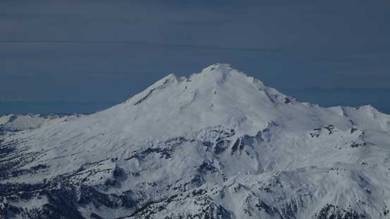
Mt. Baker
Mt. Larrabee and the “Border Peaks” partially engulfed in clouds
Tomyhoi Peak
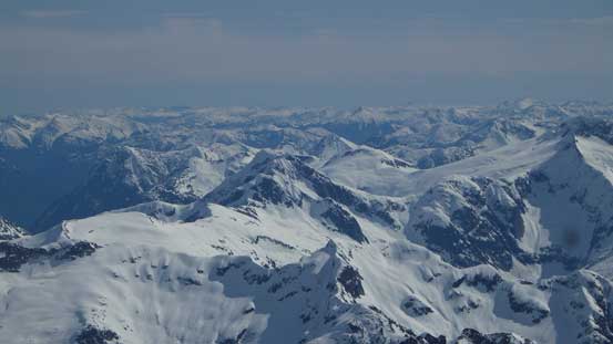
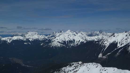
Those peaks by Skagit Valley north of the border. They’re all looking small now.
That big one on the horizon is Silvertip Mountain. To its left is Mt. Rideout
It’s that group of Bulgers: Custer – Redoubt – Spickard – Mox Peaks
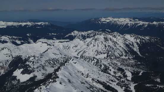
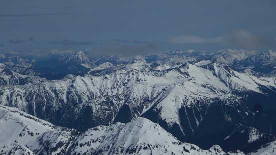
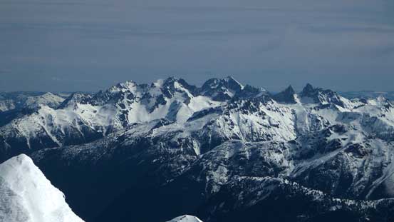
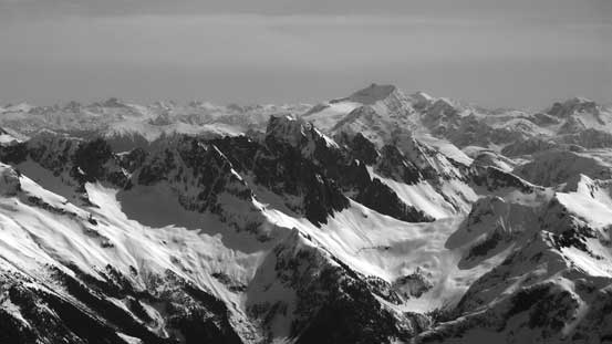
A sea of peaks looking towards the eastern North Cascades
Looking over Mt. Terror towards more peaks in the North Cascades
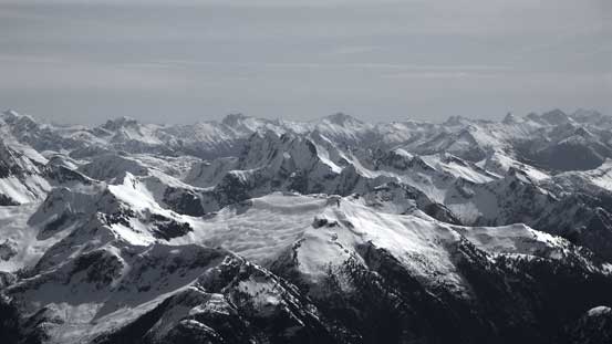
On the horizon is Eldorado Peak et al. by Cascade River valley
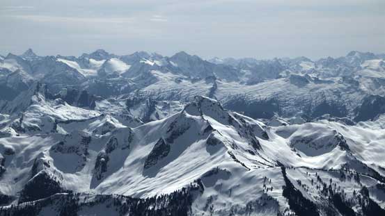
The volcano Glacier Peak rises behind Bacon Peak
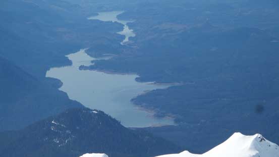
Baker Lake way low down
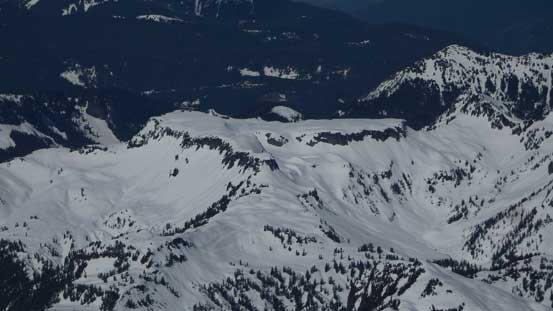
The properly named Table Mountain
Icy Peak in the foreground by Noosack Cirque
Noosack Tower and some other jagged peaks which are all basically part of Mt. Shuksan
In front of the bulky Jack Mountain is the grand daddy of Picket Range – Mt. Fury
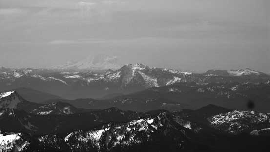
Could barely see the outline of Mt. Rainier, behind Whitehorse Mountain
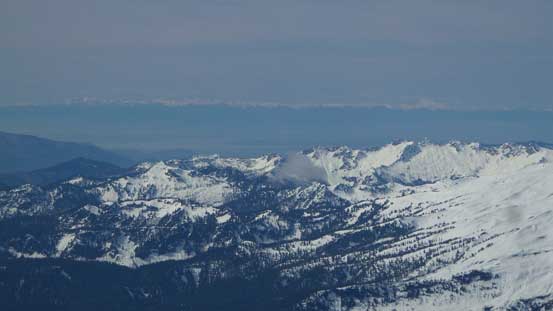
The Olympics on the horizon
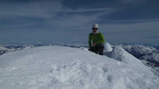
Me on the summit of Mt. Shuksan
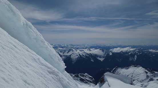
Looking steeply down towards Curtis Glacier
Another panorama from the summit. Click to view large size.
There’s not much time for me to linger on the summit other than the obligatory panorama pictures. I gingerly made my way down the exposed SE Ridge and then into the rime ice channel. That strenuous move was specially tricky to descendt as one “foot hold” had collapsed thank the the previous traffics. I had to put my weight on my ice tool and lower myself while stemming on the rime ice wall, which worked nonetheless. The rest of the down-climb following the pre-existing tracks was easy, but still required caution. Swapping crampons for snowshoes I got to enjoy a fast plunge down Sulphide Glacier but then the Hell’s Highway was still in the shade so I had to swap gears again.
Time to go down…
One last look at Mt. Baker
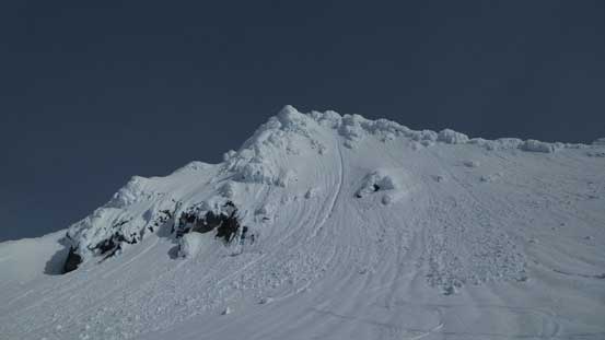
A review shot of the Summit Pyramid
This is an interesting pinnacle on Sulphide Glacier
The Hell’s Highway was then easily down-climbed and the Upper Curtis Glacier was easily traversed (bit frustrating thank to the elevation regain). Down the Winnie’s Slide and then onto the White Salmon Glacier I could see those skier’s tracks were still in the boot-packing form (condition was pretty horrible for skiing indeed). I continued on foot for another few hundred meters down White Salmon Glacier before the post-holing finally took over and then I strapped my snowshoes on. The rest of the plunge (close to 1000 vertical meters) down into White Salmon drainage was fast and fun, but at this point I was definitely not looking forwards to the 250-m elevation regain.
Descending “Hell’s Highway”
Ready to re-ascend on Upper Curtis Glacier
Traversing the Upper Curtis, looking back
A look at the Summit Pyramid
An interesting scoop on Upper Curtis Glacier
Looking across the face
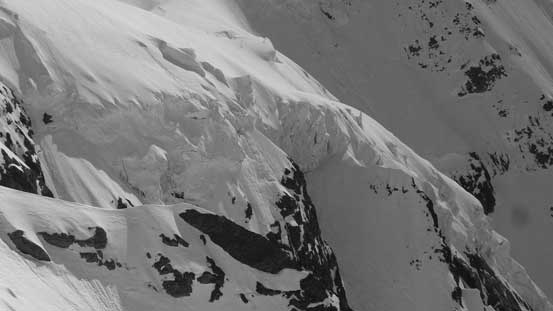
Seracs…
Above the Winnie’s Slide, looking down
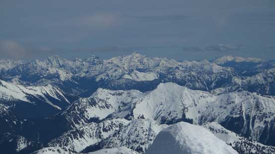
Tomyhoi – Border Peaks – Larrabee on the horizon
Down-climbing the Winnie’s Slide
Looking back towards Winnie’s Slide with the Summit Pyramid behind
Onto the White Salmon Glacier
Down the White Salmon
Another picture to show White Salmon Glacier
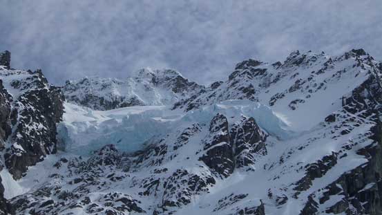
Impressive seracs on the Hanging Glacier up high.
But let’s face it and I didn’t have a choice. I was doing good on energy so didn’t bother for a break. The snow had of course gone slushy so I just ascended on the debris (better footings for the crampons under my snowshoes with heal-lifts). After a long while I traversed back to merge with my own tracks and had no issue following it upwards to the “high point”. It was a very tedious process and eventually I ran out of gas and had to take a energy break. I resumed the return and plodding all the way back to the parking lot in one single shot.
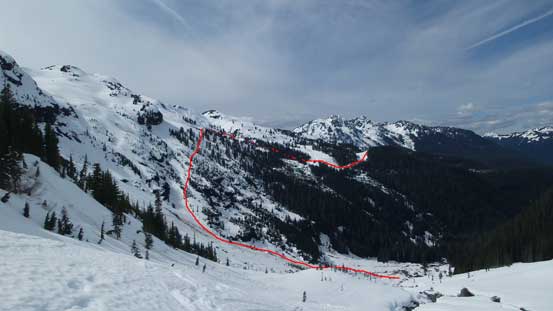
The route roughly shown
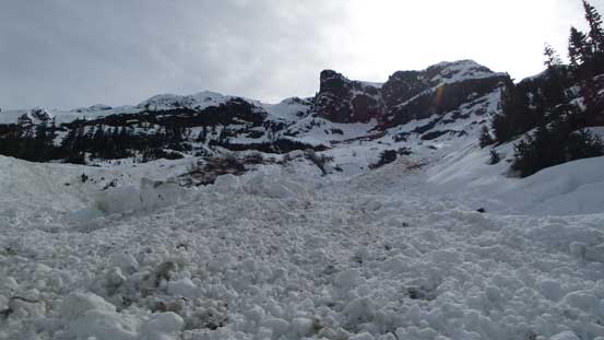
The approach sucks a big time…
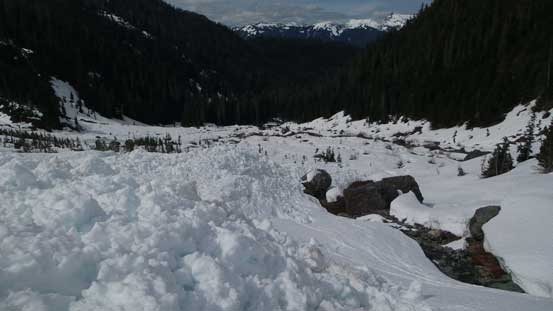
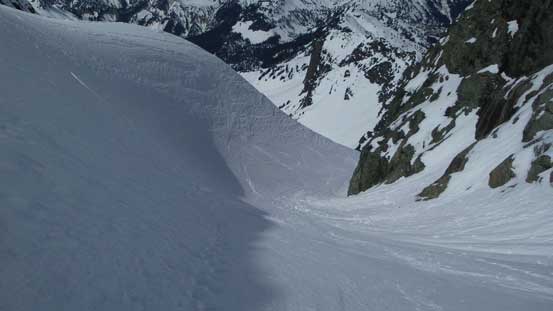
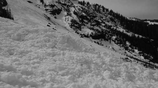
Crossing this huge slide path
Ascending on the debris to avoid post-holing in isothermal snow
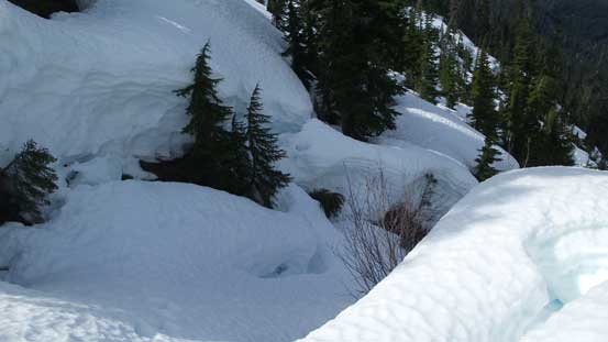
One of the few tricky creeks…
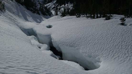
Here’s where I crossed the major creek which turns into a gorge downhill
Looking back at the majestic mountain. Done!!
A zoomed-in view of the summit pyramid
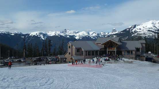
Back to the White Salmon Lodge. Still have about 1 km of road walk for me.
My round trip time was exactly 12.5 hours and that concluded this day. There’s some solid pushing through for this objective and I’m very glad I managed to put Mt. Shuksan down on my first try, but I’m very sure that this approach will never see me again.. Except for the approach the route is a beautiful one and would be a great ski trip in the right conditions. And now with some weather moving in it’s time for a well deserved rest..
