Pincushion Mountain
July 12, 2020
806m
Peachland / Okanagan Lake, BC
Pincushion Mountain is a very minor, but officially-named summit right next to the small town of Peachland about half an hour’s drive south of Kelowna. This peak had gained some attention on social media in the recent years for it’s view-to-effort ratio. A well defined trail brings hikers to the summit that offers some unobstructed views of Okanagan Lake. The hike should take no more than an hour at a modest pace. Lily and I made this spontaneous decision after completing an ascent of Mt. Tupper in Rogers Pass area. The weather was iffy for most areas except for the Okanagan and the easiest objective I had in mind was Pincushion Mountain. We also wanted to do some climbing in Skaha Bluffs Provincial Park later in the day and still had a long drive home awaits, so didn’t want to push too hard physically.

Pincushion Mountain hiking route. GPX DL
We cooked some breakfast at the trail-head and started the hike before anyone else arrived. There’s literally not much worth documenting other than putting one foot in front of another. The trail was longer than I thought but had some nice views even before reaching the very top. My Gaia app showed that the trail continued past the summit to a possible viewpoint, but we were too lazy to do that. The summit was scenic enough to do some Instagram shots so that’s good enough for me.

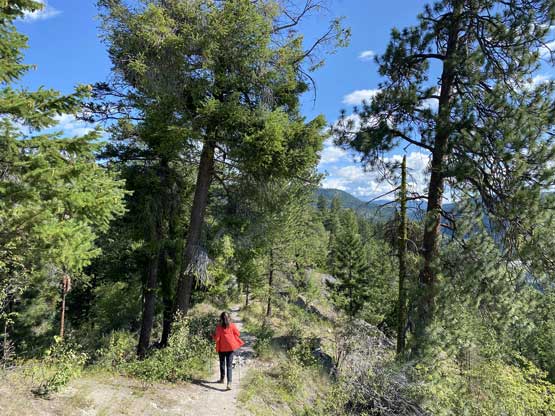
The start of the hike… Already decent views

Lily starting the hike.

A northward view of the Okanagan Lake

At some point we merged onto an old road

Already excellent view of Okanagan Lake

Lily grunting up the trail.
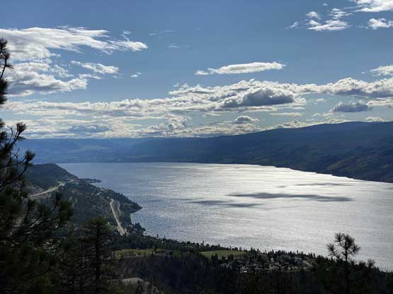
A closer look of Okanagan Lake. This is looking north

Looking south down the lake.
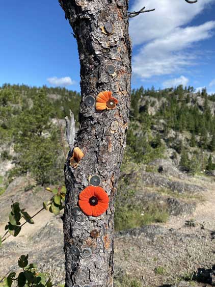
Not sure what this is for…

Me on the summit of Pincushion Mountain

Me on Pincushion Mountain doing Instagram pose #1

Me on Pincushion Mountain doing Instagram pose #2

Me on Pincushion Mountain doing Instagram pose #3
Once having enough photos we leisurely walked back. At least 20 other hikers were on their way up including folks from Alberta judging by the license plates at the parking lot, so this is definitely a popular hike. Arrive early and beat the crowds is the only suggestion I have.
As much as the hike down
Not wasting much time we directly the bearing to the Skaha. Lily did some very brief research but we found out that the best way to learn about the Skaha is to talk to other climbers at the parking lot. We even took some photos of the guidebook’s pages. Unfortunately we had to walk about 15 minutes to “Another Bluff” and the routes we wanted to climb were already occupied. The only easier route left was a 5.7 face climb that seemed to have some sparsely placed bolts. I led it, but got fairly sketched out multiple times and took a long ass while. It started to rain when I reached the top and soon became pouring. The rock were too wet for Lily to climb but we had to clean the gears, so the only way was for her to climb up the rope. Quite a fun one.

Climbing at Skaha Bluffs

Lily rappelling the wet pitch…
It didn’t seem like the rain would stop so we reluctantly walked back to the car. We stopped briefly in Keremeos for some cherries and watermelon and then committed to the long ass drive back home.
