Gunung Lawu
August 3, 2023
3265m
Java, Indonesia
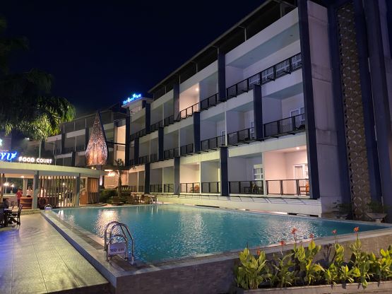
Gunung Lawu is the easiest of the 4 peaks on Java that boast over 3000 m prominence. There are two trails on the south side. The steeper of the two locates entirely in East Java whereas the longer of the two locates in Central Java. The summit of Lawu sits on the boundary between the two provinces. Adam and I wanted to ascend the steeper trail and descend the longer trail to make a loop. Adam found a cheap hotel in the town of Sarangan not far from the trail-head but this is a terrible touristy town that even charged us some entrance fee. The fee wasn’t much by North American standard but still, we weren’t there to check out that touristy lake. We explained that we’d only spend one night in the hotel and they still charged us that entrance fee. The hotel itself was also unpleasant with barely anything that worked, but since we arrived late (8 pm) and planned to leave early (5 am) it would do.
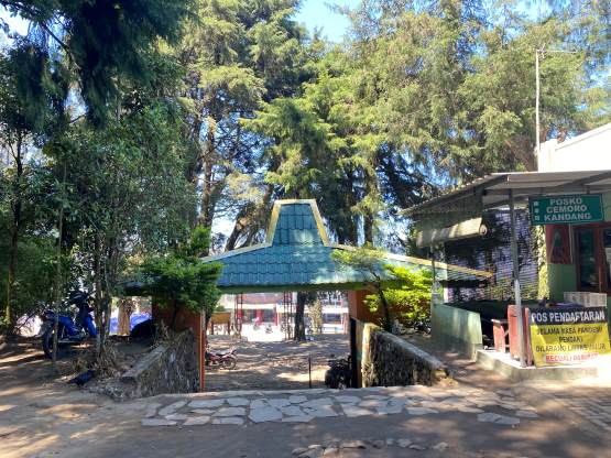
The following morning our driver came to pick us up at 5 am and in short time we arrived at the eastern of the two trail-heads. Not to my surprise there’s a gate and a “basecamp” to collect our entrance fee, but to make it worse the gatekeeper stated the mountain would not open until 7 am. The reason was the guides wouldn’t arrive until 7 am. We explained how we would not need a guide for this objective but he still wouldn’t let us in. There’s no way for us to stand there waiting for 1.5 hours and arguing is usually not the best way to solve problems so we didn’t do that. Instead, Adam and I quickly formulated an alternative solution, that was to bushwhack around the gate.
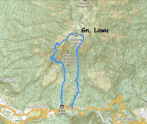
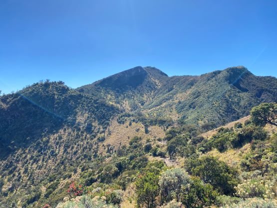
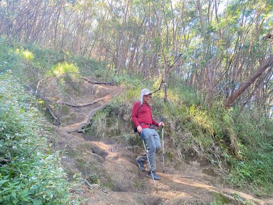
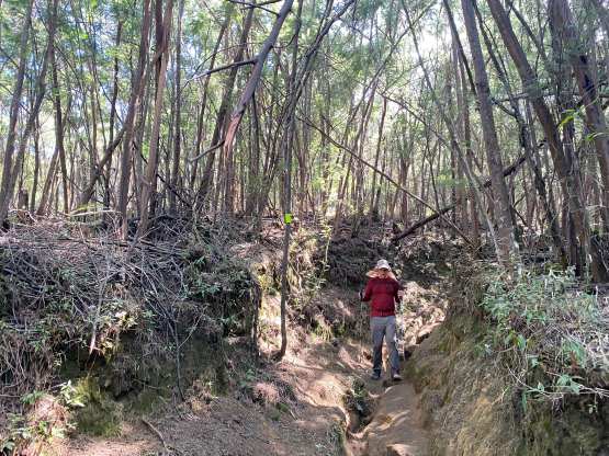
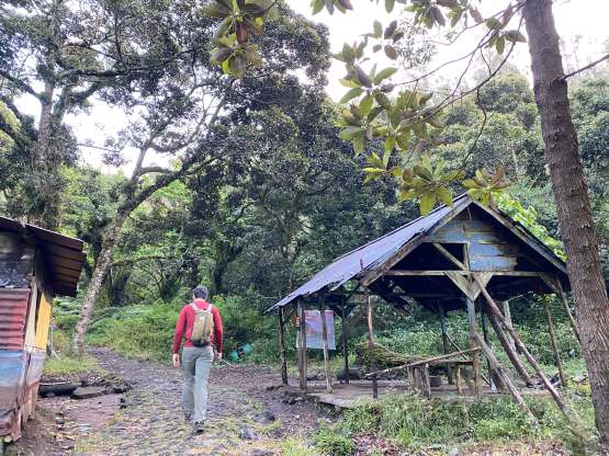
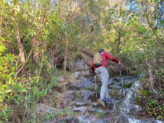
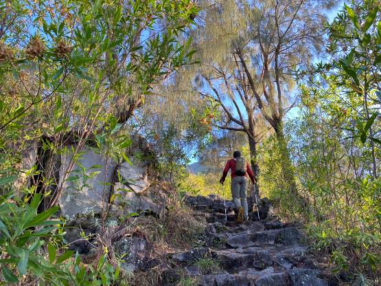
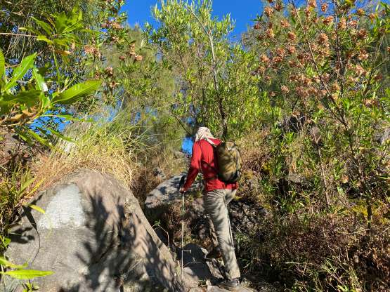
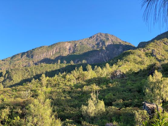
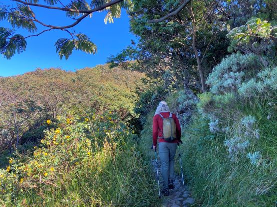
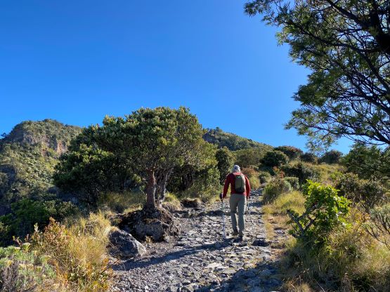
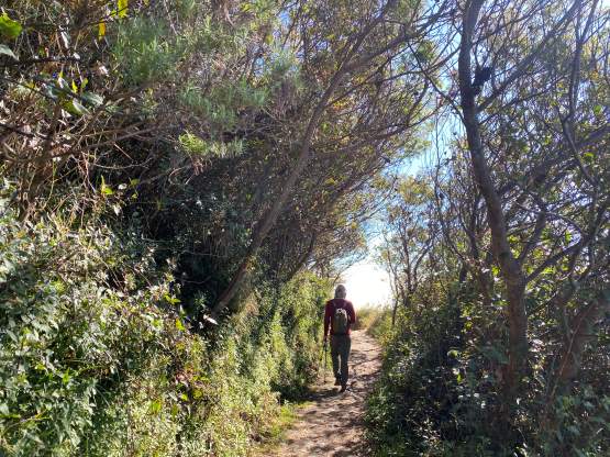
The bright side of doing that was the complete lack of hikers on this entire ascent. I was anticipating sharing the route with hundreds of humans but in the end we only met ~10 people near the summit on their way down. The first few kilometers of the trails could easily be driven by ojeks but after passing “Pos 1” the trail became staircases. They aren’t “concrete” as stated in some other trip reports, but the staircases are entirely made by stones. From here all the way to the crater rim about 1000 m higher up was on those staircases, and the higher we went the steeper the grade was. We took one necessary break near the uppermost “pos”. I was thinking we might can push all the way to the summit in one go, but we were getting tired.
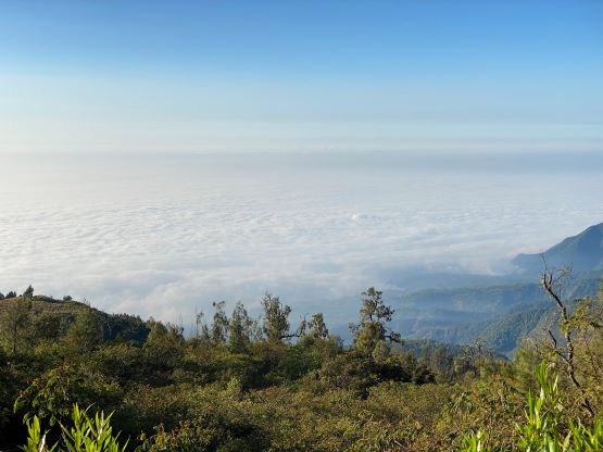


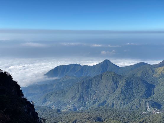
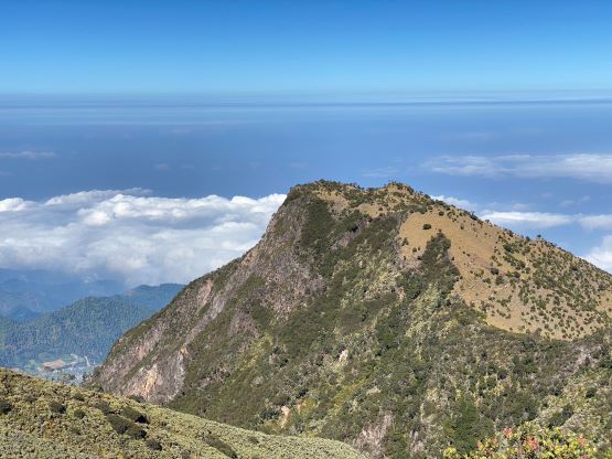
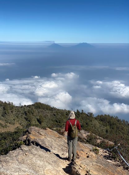
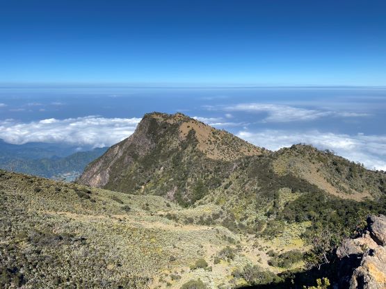
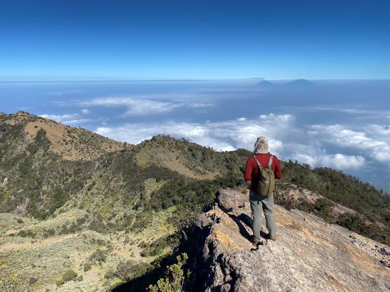
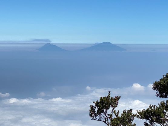
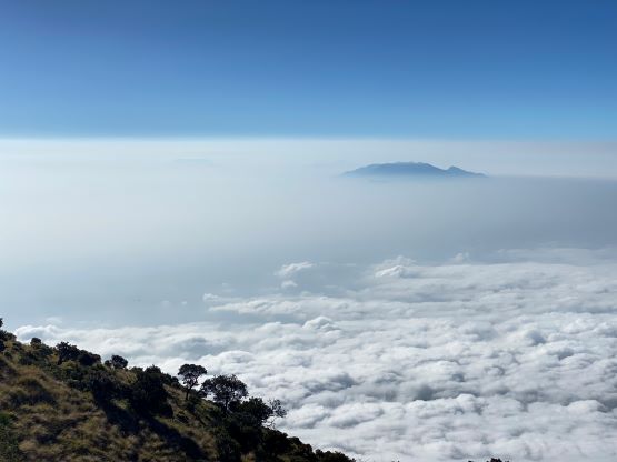
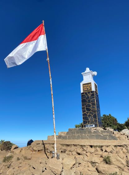
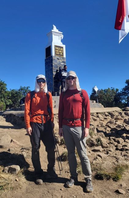
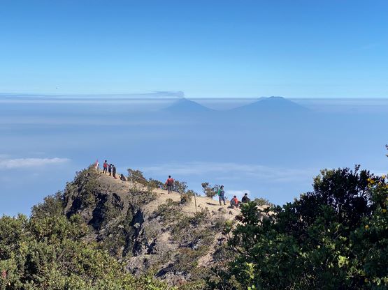
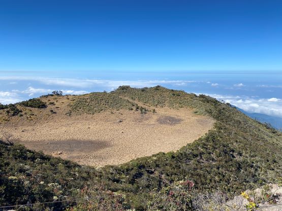
Once making to the crater rim we had to deal with some annoying up-and-downs. It seems like the official trail traverses all the way to the NE/N side of the summit area but we didn’t think that’s totally necessary. Adam spotted some paths on the east ridge and I confirmed that on my Gaia map, so we took that short-cut, which worked out well. The plod to the true summit felt like a drag, but that’s probably because we were both getting very tired at this stage of the trip. The true summit itself was actually boring without much view, so we didn’t bother to linger.
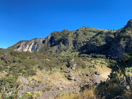


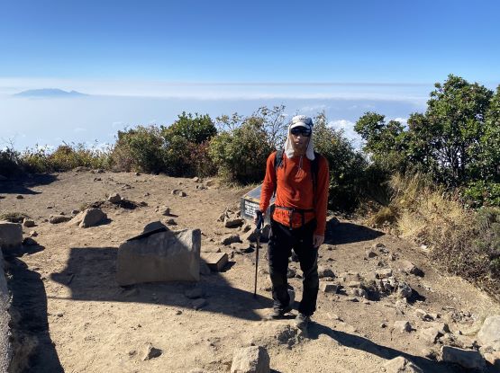
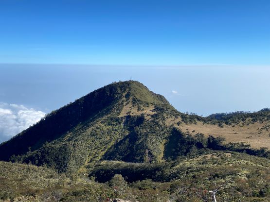
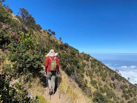
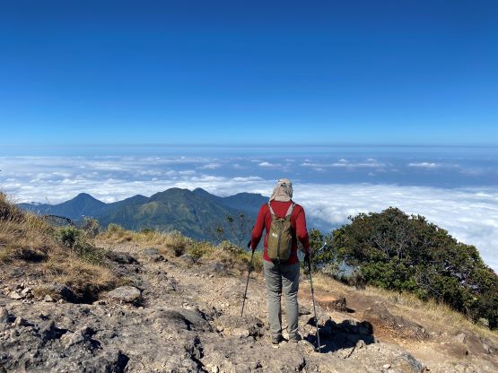
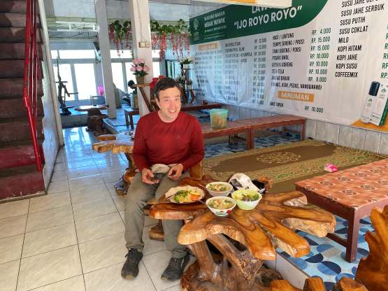
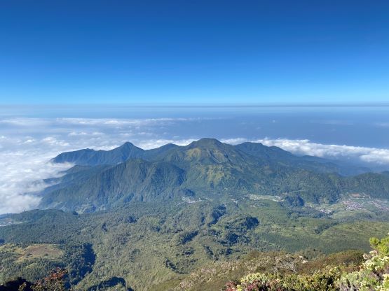
Again, we opted to not follow the official trail down. The west ridge immediately under the summit seemed to offer some unobstructed views so we went down that way. The route descends dangerously close to some cliffs and that’s probably why it’s not the official trail. Nonetheless we found this to be more exciting. After dropping down to the trail we again, had to deal with a lot of up-and-downs and there’s overall more up-and-downs on this western (Central Java) trail than the one we took on the ascent. Lower down we came to several stretches of switchbacks and the plan was to take as many short-cuts as possible. In the end I led us cutting every single switchback and shaved at least 1 km off the total distance. That was very satisfying. The rest of the descent was boring and tedious such that we didn’t bother to make any additional stop, and finished the round trip in 5 hours 15 minutes. I caught some cell reception near the end of the hike and informed our driver to come to pick us up. We also found a local restaurant right at this trail-head and the meal was excellent. The rest of the day was spent driving to Bandungan for our next objective.