Lone Mountain
August 28, 2016
1817m
Manning Provincial Park, BC
Lone Mountain is a somewhat uninteresting bump in the heart of Manning Park and I’m fairly sure it’s also among the least often ascended in its vicinity. The reason is simple, this peak is considerably smaller than its neighbours and the summit is partially forested, and to get there it looks like at least some extend of bushwhacking is unavoidable. The only bright side is that well-maintained approach trail from Lightning Lake to Thunder Lake and en route one gets to visit a couple more lakes in the chain – Flash and Strike Lakes. There is one trip report on ClubTread and that’s it, written by EAK and it didn’t sound terribly bad, although not very inspiring neither.
The forecast for the last Sunday of this past August wasn’t great – variable cloudiness with chances of showers for pretty much anywhere in SW BC or Washington. I initially wasn’t keen to get out but I somehow happened to check the webcams in the morning, and it was currently sunny in Manning Park area. I made a spontaneous decision to head out since this was my only chance to go out in a span of 2 weeks. I knew it might turn cloudy in any time but given the “forested summit” status I wouldn’t get much view in anyway, so out eastwards I went. I have to mention here that this was not a short trip given the 12-km hike just to get to Thunder Lake, but I didn’t mange to leave town until 9:30 am and that’s quite a late start. But I packed the illumination equipment so it should be fine.
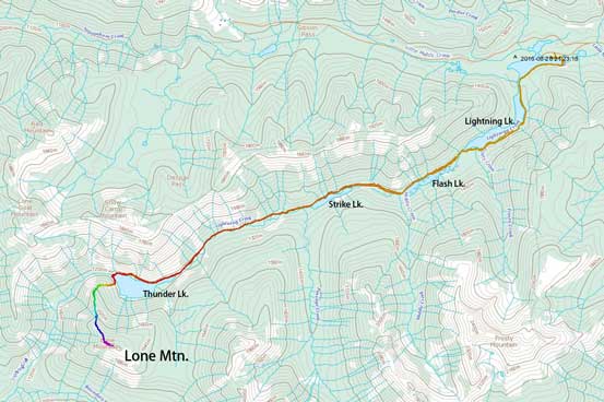
Lone Mountain scramble route via NNW Ridge. GPX DL
By almost 12:30 pm I finally started the plod from the Lightning Lake day-use area and right away I got confused as where exactly was the trail. I didn’t do much research at all but thankfully there’s a big trail-head sign near the lakeshore where I took a minute to study. It’d be easier had I parked at the Lightning Lake campground but oh well. I circumvented the lake on its left (east/south) side and 1.2 km later I arrived at that famous Rainbow Bridge. I didn’t cross the bridge and instead there’s another sign saying to get to Thunder Lake I should stay on the left side of the lake. The two branches eventually merged together at the southern end of Lightning Lake.

The water in Lightning Lake was crystal clear

The tourists’ Lightning Lake day-use area

Rainbow Bridge

I really like the colours in this lake

Good trail going around Lightning Lake
The “fat” part of Lightning Lake

The southern end of Lightning Lake where the two trail branches join
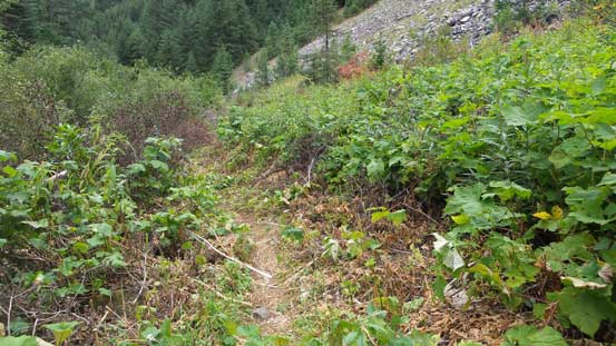
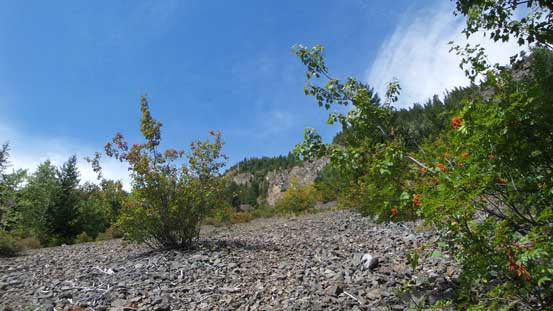
Following the trail further down the chain, passing Flash Lake and then Strike Lake was uneventful but one thing I had to mention here was, this trail (eventually leading to Thunder Lake) was a down-hill plod, meaning I had to regain some height at the end of the day. The overall grade was nearly flat though so there’s not that much of elevation loss, but judging by the direction of the stream flow I could definitely see that. Passing the Strike Lake Campground the trail became narrower but was still in a decent shape, and 4 km later I could finally see the beautiful Thunder Lake. I followed the trail crossing a few rocky slopes and then traversed high above the lake on the right (north) side. The official trail ended here and beyond was a mere path. I lost the path several times but always managed to regain by simply “plodding forward”. There was some not-so-pleasant side-hilling and a bit of bushwhacking involved but nothing terribly bad, although my progress was quite slow through this stage.

The trail passing Lightning Lake

A cool islet in Flash Lake

And, this is Strike Lake
Trail beyond Strike Lake has a few narrow sections
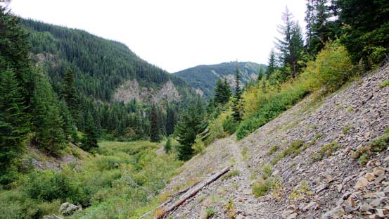
And, it kept traversing on some rocky slopes
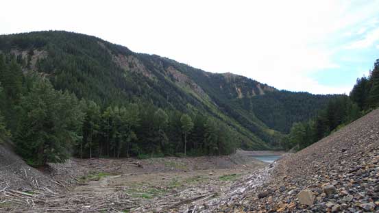
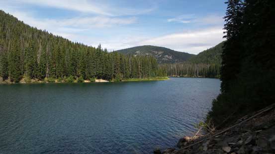
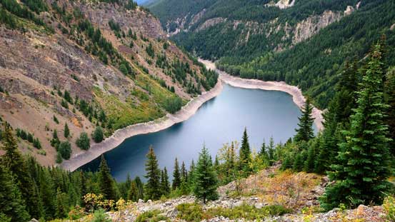
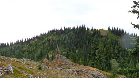
Finally could see the tip of Thunder Lake. The forested Lone Mountain behind

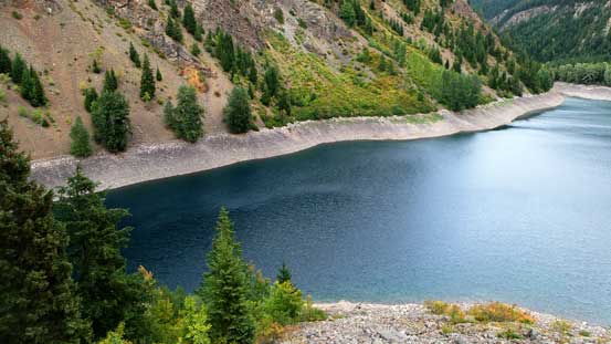
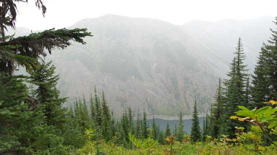
Thunder Lake is quite a beautiful one

Thunder Lake from the path above

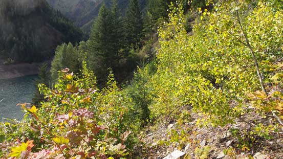
Neat vegetation… I’m sure there’re bears around as I could see scats everywhere…
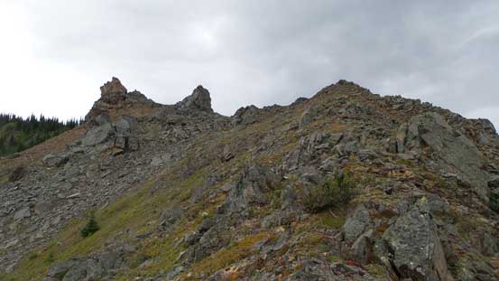
The slopes dropping from Lone Goat Mountain

I lost the trail here and gained too much height.

Looking back at the slopes I just crossed.
The trail was somewhere there, but hard to follow

Down to the lakeshore now.
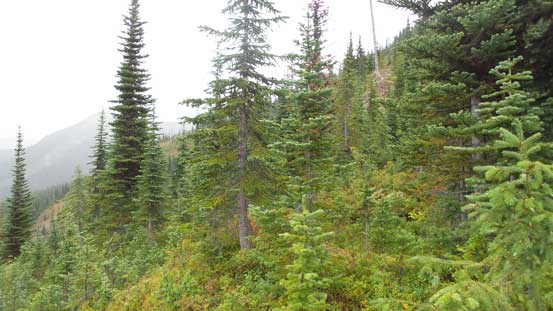
I finally circumvented around the NW corner of Thunder Lake and now I was directly beneath the NNW Ridge of Lone Mountain. I initially ascended a boulder/talus field way on the climber’s left side and by doing so I avoided at least some bushwhacking. Not far up I hit the ridge proper and now all I needed to do was plodding upwards. There were some narrow spots, a few moderate scrambling sections and also a few bushy parts but nothing ugly until I hit a band of slide alders. Looking around I couldn’t find an alternative route so I had to swim through that part. What made it even worse was a band of clouds moving in from the North Cascades dumping rain on me. The final rise to hit the summit ridge looked tame, but actually involved a lot of underbrushes and I had to basically haul myself up while pulling on the vegetation. I got soaked to the bone in no time and it was downright miserable, but at this stage I just had to power it through. No excuse as I wouldn’t want to return here ever again. And then I traversed further along the broad, grassy ridge and the summit was eventually attained, forested as expected.
Ascending the initial talus field, lookingback
Gaining height rapidly. Thunder Lake is still looking very beautiful.
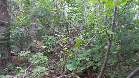
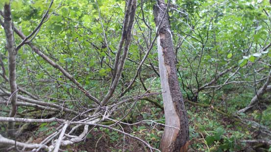
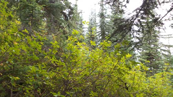
Entering the bush…
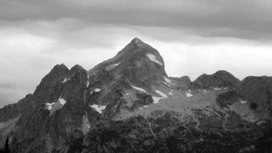
The very impressive Hozomeen Mountain – North (Main) Peak
Plodding upwards.

Here’s that band of alders…
Power it through…
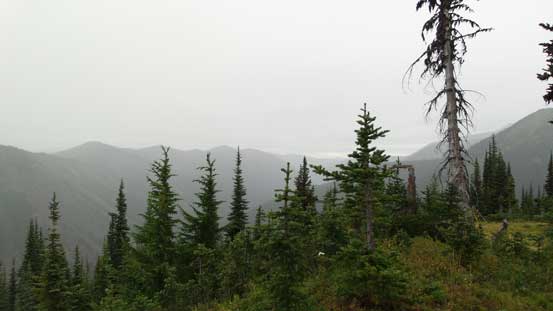
Having a short break from the bush, but it soon started to rain..

Weather was moving in from the south.

The double-summit Hozomeen Mountain.
The next section is harder than it looked.

Lots of brushes…
It’s really starting to rain now.. Lone Goat Mountain looms behind
It’s wet…
Not much to see from the summit…
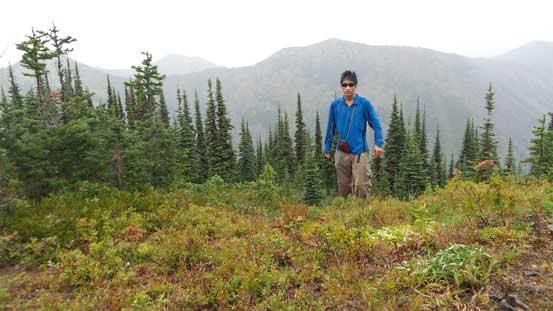
Me on the summit of Lone Mountain
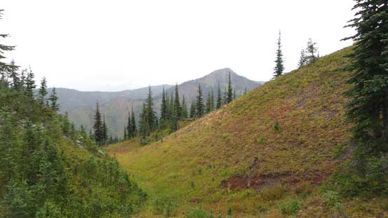
Thank to the rain I couldn’t linger any longer than necessary. I more-or-less ran down the summit ridge in order to stay warm and then there came that underbrush sections – lots of slipping on the wet grasses but at least the down-hill bushwhacking was much easier. That band of slide alders wasn’t too terrible neither to descend and overall I made good time down the ridge. By the time I hit the lower boulder/talus field the rain had finally stopped but it was still overcast meaning it could rain again at any time. Circumventing Thunder Lake I managed to stay mostly on the path and it was actually quite good. Eventually the trail became better and better near Strike Lake Campground and I finally switched my wet mountaineering boots for sneakers. Half an hour later it’s time to strap my head-lamp on, and then it’s the final 7 km plod back to the car.
Time to head down…
Soggy and very slippery…
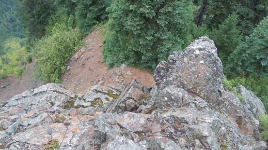
One of the few scrambling steps.

Oh the alders… And in rain… Fun time…
My round trip time was about 9 hours and it was certainly not as short a day as I was looking for, but a good day of work-out nonetheless. The approach was surely the highlight of this trip as I got to visit a couple lakes in a roll and Thunder Lake itself is quite a worthwhile destination. In terms of the scrambling, I wouldn’t recommend it to anyone but the peak-baggers who just have to check this (officially named) summit off their list.
