Fortulent Peak
January 20, 2013
2520m
Southern Banff Park – Spray Lake, AB
Fortulent Peak is a very unofficial name of the unnamed peak immediately north of Mt. Fortune near Spray Lakes. It’s basically the south end of the long ridge leading all the way to Mt. Turbulent, so technically it isn’t prominent enough to qualify a separate summit given the unofficial status. However, it’s well documented in Andrew Nugara’s Snowshoeing in the Canadian Rockies book, and I’m intended to finish this list, so I have to give it a go.
Mt. Fortune to Fortulent Peak snowshoe ascent route. GPX DL
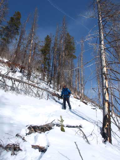
After summitting Mount Fortune, Ben and I immediately dropped down towards Fortune/Fortulent col. It turned out that we indeed needed snowshoes as the col held a lot of snow. We didn’t lose much elevation before starting up again. The entire slope was blown bare on climber’s left and center, so we ditched snowshoes at snowline.

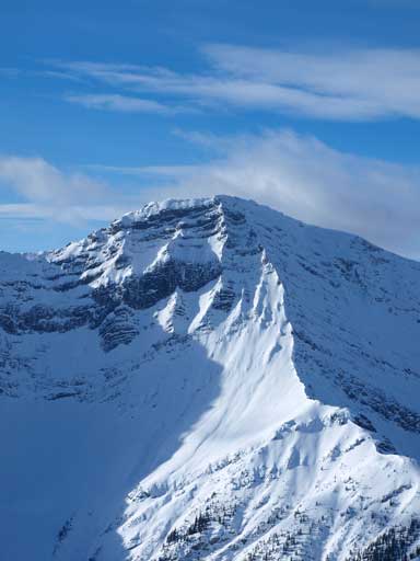
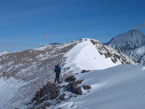
Fortulent Peak seen from Fortune/Fortulent col.

Ben hiking up with beautiful mountains behind
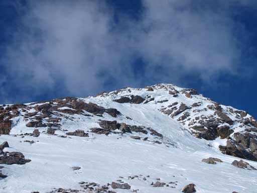
The upper slope looks a bit rocky
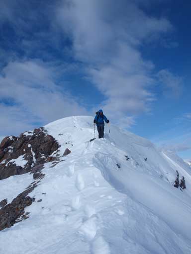
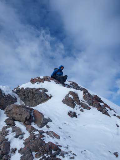
Slogging up frozen scree and some snow, we quickly gained elevation. There are a couple of easy to moderate scramble sections before the summit. They could be circumvented on climber’s left side, but we didn’t bother. Once we topped out on the summit, the other side fully opened up, and Mount Turbulent appeared to be a true slog. Fortulent Peak has twin summits, and we checked the other one as well. The view down towards Spray River valley was much better from this summit, and looking back to the first summit revealed some cornice scenery. We briefly considered continuing the ridge towards the next high point, 1.5 km away, but decided against it.
Ben walking up the last few meters. It’s a bit exposed
Cone Mountain looks impressive.
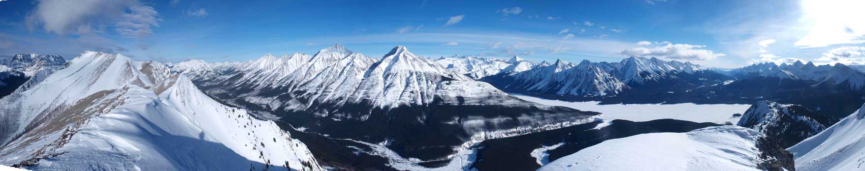
Mount Sparrowhawk, Mount Bogart, Mount Buller, Mount Engadine
Sundance Range peaks and Mount Turbulent on right
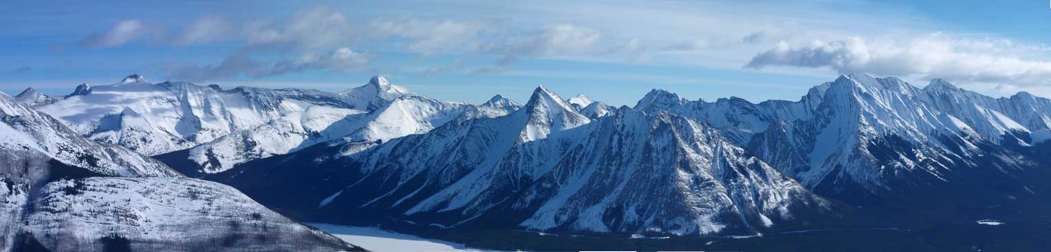
Panorama looking East towards Old Goat and Nestor, and Spray River Valley below
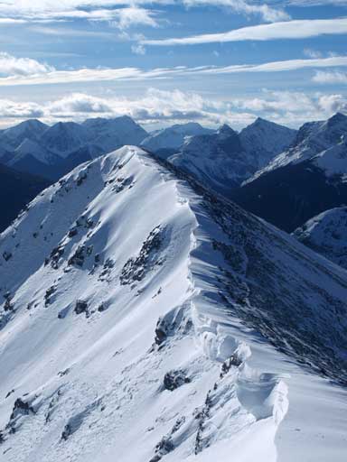
The corniced summit ridge

Old Goat Mountain

Mount Nestor
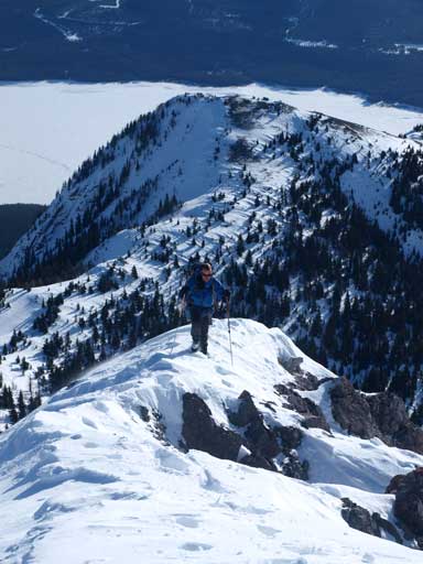
Going back to the first summit

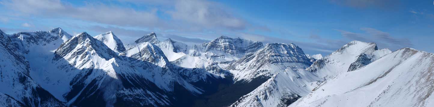
Panorama looking south from Fortulent Peak

Zooming in towards Mount Birdwood and Smuts Area

Peaks west of the Upper Spray River Valley
Started the descent
Descending the challenging bit near the summit
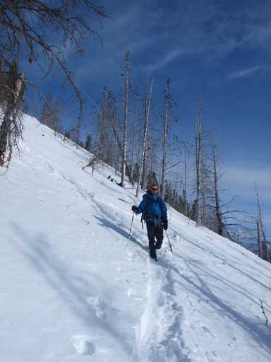
Once we got down the scrambling section, we took the snow on skier’s left and got a great glissade. Once down the alpine section, we all enjoyed a super fast plunge (on snowshoes). It only took us roughly 20min to descend back to the lake. For snowshoeing downhill, we want it to be as slippery as possible so we can glide. Except for the deadfalls, it was very enjoyable. The afternoon sun provided some different views on the lake. Again, there was no wind. Once making back to the other side, we retraced our tracks to parking lot. There were lots of cross country skiers.
Ben snowshoeing down the typical terrain
More of the descent
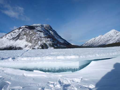
Interesting ice formation on Spray Lake
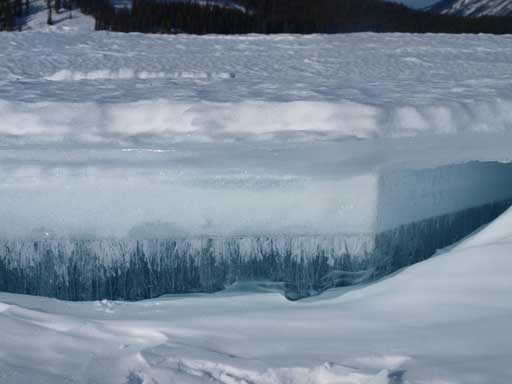
Zooming-in towards this ice
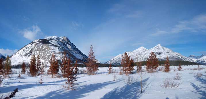
Interesting red colours in winter

Panorama from Spray Lake
We decided to drive home via Highway 40. I spotted a less exposed route to Little Chester differing from the gully in Nugara’s snowshoeing book. I actually made to that summit in summer, but didn’t count as it was literally just a 10-minute side trip from Mt. Chester. Commonwealth Ridge and Tent Ridge both appeared dry on upper ridge/slope. Opal Ridge (true summit)’s entire slope was dry. We eventually made back to Calgary before sunset. Good timing for a moderately long trip in January.
