Sentinel Peak (Tucson)
March 18, 2017
883m
Tucson, AZ
There are quite a few “urban summits” in the city of Tucson, AZ and Sentinel Peak is pretty much the least impressive among those. There’s a paved road bringing hundreds of people up each day for various purposes, and attaining the highest point is a mere 5-minute walk from the upper parking lot. There’s nothing really exciting about this little peak especially considering this’d be my 600th summit, but as a visitor from the far north this seemed like a good introductory objective especially considering I only had an hour or so to kill before sunset.

Sentinel Peak in the city of Tucson
As I mentioned there’s a paved road so I just have to follow the instructions on my iPhone. The Waze app surely knew how to calculate the short-cuts and soon enough I had no idea where I was driving towards, but I trusted technology and it did not let me down. The only problem was the crowds and not wanting to deal with the parking lot gong show I opted to park a couple hundred meters down on the road, right below the famous “A”. There’s a bit of history about this large “A” – constructed and painted by some local U of Arizona students in the 1910s, hence this peak also has the unofficial name “A” Mountain. It was about 15 min walk to the summit from where I parked.
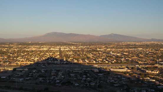
A view of the city of Tucson from where I parked

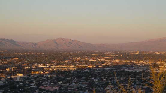
The downtown Tucson with Santa Catalina Range behind

Hiking up the paved road.

This is how you tell it’s in a desert…

The saguaros – signature species for the Sonoran Desert
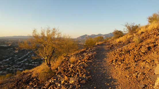
Picking up a set of trails
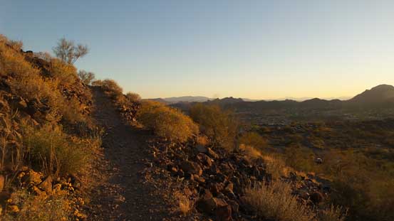
Almost there!
As planned I waited on the summit for about 40 minutes watching the sun dropped down below the horizon and then the evening alpenglow panoramas. I was not expecting the city of Tucson being that big but guess I underestimated the population in the America..
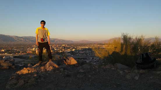
Me on the summit of Sentinel Peak – my 600th summit.
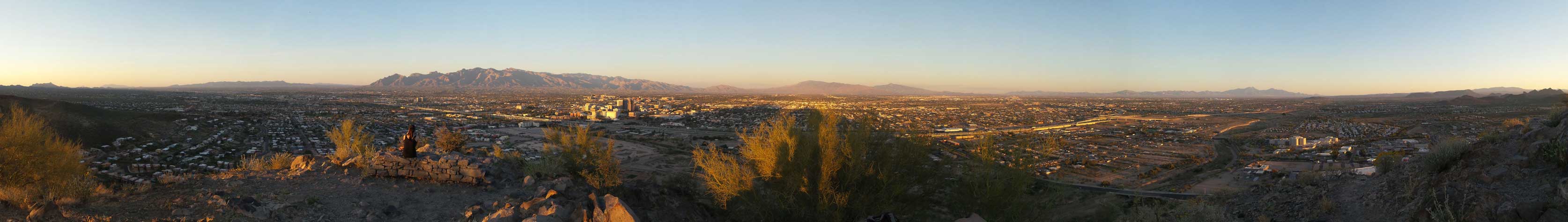
Summit Panorama from Sentinel Peak. Click to view large size.
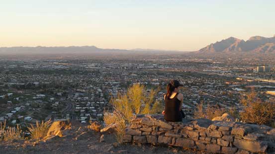
Another hiker enjoying the view
A zoomed-in view towards Agua Caliente Hill

This is Cat Mountain

Mica Mountain to the east

The rugged Santa Catalina Mountains with Mt. Lemmon being the highest

Another look towards Mica Mountain and Rincon Peak, with city of Tucson in front

Mt. Wrightson dominates the skyline looking south

Baboquivari Peak in the far distance

The dusk horizon

Hiking down on the painted “A”
Eventually after taking enough pictures I leisurely went back down. I joined the hordes and took a direct route down the painted “A” back to where I parked and it’s pretty fun. And then it’s time for the evening routine (Safeway and then restaurant) although I did not make a stop in McDonalds. The internet services in the Super 8 Motel was pretty good so there’s no point in killing time in McDonalds. And then there goes the next day.
