Mount Olive
April 27, 2014
3130m
Wapta Icefield, AB/BC
Mount Olive, a classic ski mountaineering ascent, is one of the remaining peaks I hadn’t got yet on the Wapta Icefield. After a year of crappy snow stability, periods of excellent condition arrived by mid to late April. This past weekend wasn’t good weather wise, but avalanche condition was moderate/low/low. Peaks like White Pyramid got ski’d almost every day in the previous week… I figured I had to do something… During the past two years I’d heard lots of stories about Ferenc Jacso, and I was really glad to finally meet him.
People are confused as which of the two peaks is the true summit. My reference is the government topo map and it shows the far one (south summit) as the true summit, so there’s no excuse and we had to tag both of them in order to claim Mt. Olive. Given the weather forecast (variable cloudiness and chances of flurries) for Banff and Lake Louise, we knew exactly what to expect on the Wapta. We did propose other objectives including Boom Mountain, but on the drive in, we decided to keep the original plan. It’s overall a much sexier peak and I wasn’t too worried about the weather since Mt. Olive is one of the easy-to-navigate icefield peaks that’s doable in a white-out. For the approach it would be my 6th time in 2 years, and for the ascent I also armed with GPS tracks so there’s really no excuse of getting lost… Of course we’d lose the views, but I didn’t really care since I got perfect weather on the nearby summits.

Mt. Olive standard ascent route from Bow Hut. GPX DL
And it didn’t take long for us to make the call of snowshoeing rather than skiing. There were a few obvious reasons but overall the main objective was grabbing this summit in the most efficient way. I can hardly ski in flat light condition let along in a white out. We knew there might be a big plan coming up in the next short while and it would be awful to exhaust ourselves out and/or get blisters on this trip…
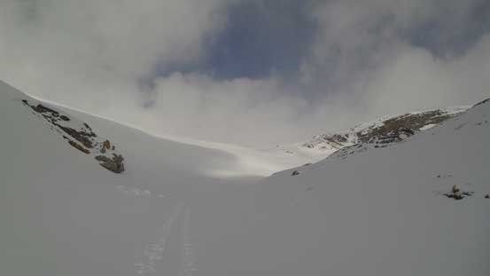
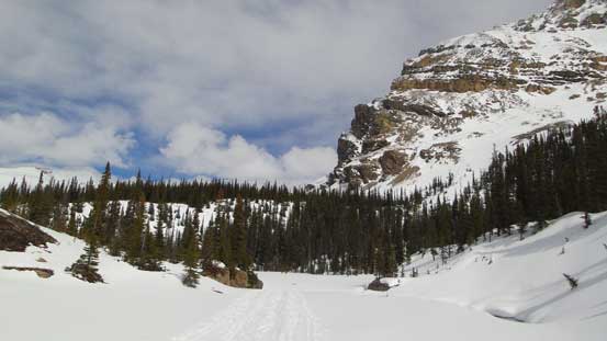
Bow Lake was more frozen than we’d expect. I’ve read trip reports showing miserable isothermal crap by late April but on this day it felt like February. Following obvious sets of tracks, we cruised across Bow Lake pretty fast, up and over a hill and then through the terrain trap. By the time we exited the trees we got the poorest visibility of the entire day. Thankfully the tracks led us correctly up the steep gully and we were at Bow Hut shortly after. As usual, it’s about 2 hours from car to the Hut. We took a short food/water break in the hut before continuing up the Wapta Icefield.
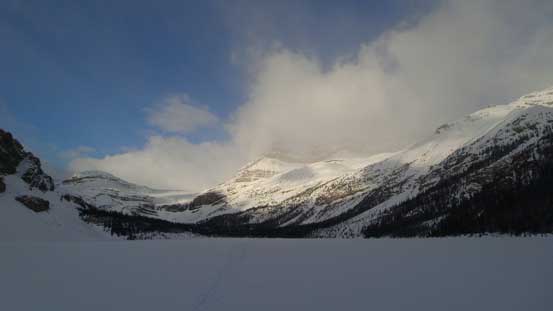
Looking towards the Wapta from parking lot
Crowfoot Mountain
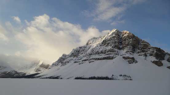
Weather wasn’t too bad at this point. Variable clouds.
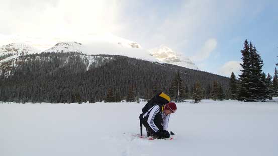
Ferenc strapping his snowshoes on
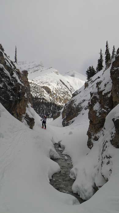
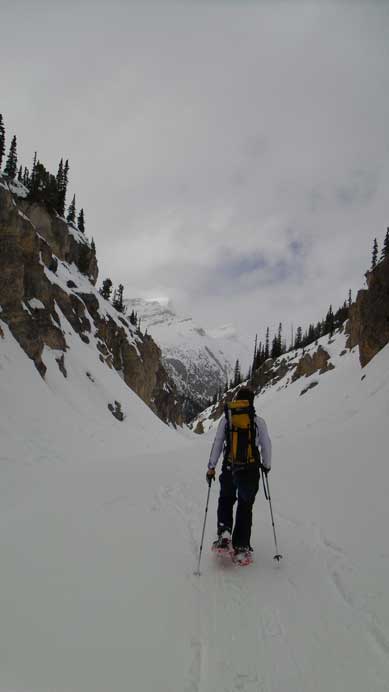
Through the canyon
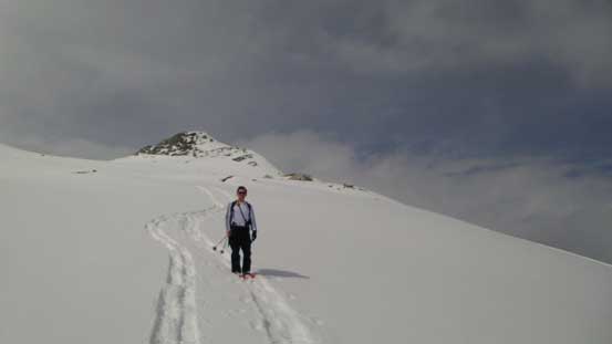
Just about to ascent the steep slope before Bow Hut
A group of skiers preparing their ski-out
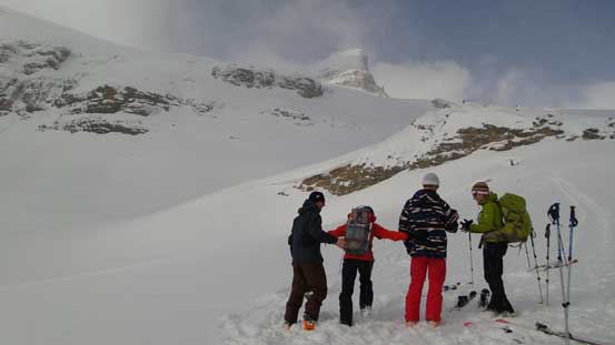
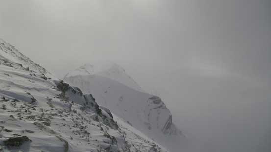
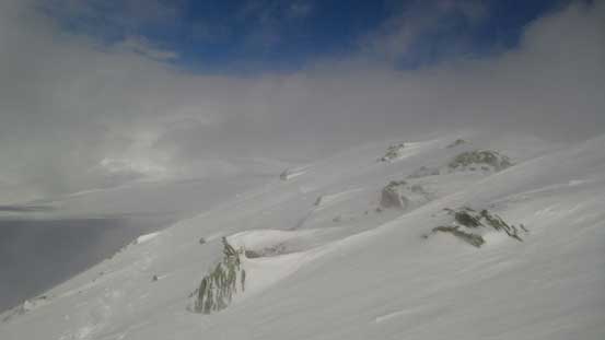
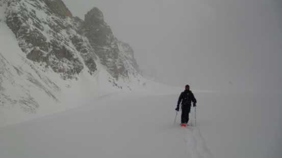
The glacier above Bow Hut was more broken this year judging by the summer photos (from Parks Mountain Safety on Facebook) especially the part just below St. Nick. So we did a wider contour. We aimed at The Onion first before veering leftwards. It was windy and snowy but St. Nick was always in our views so there was no need to take out the GPS. There’s an open crevasse to avoid at the base of St. Nick, and once around we’d follow the obvious “rock wall” towards the St. Nick/Olive col.
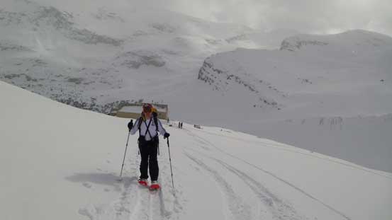
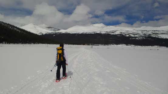
Leaving the Bow Hut
Onto the Wapta Icefield
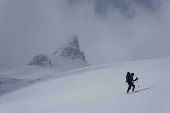
Me with St. Nicolas Peak behind. Photo by Ferenc Jacso
Ferenc on St. Nick/Olive col. Typical weather…
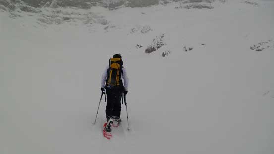
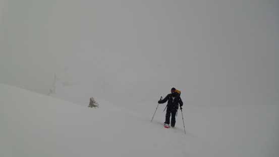
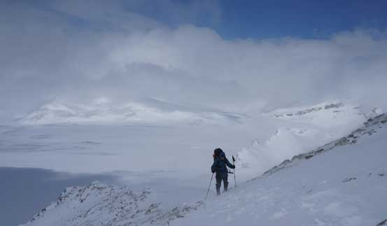
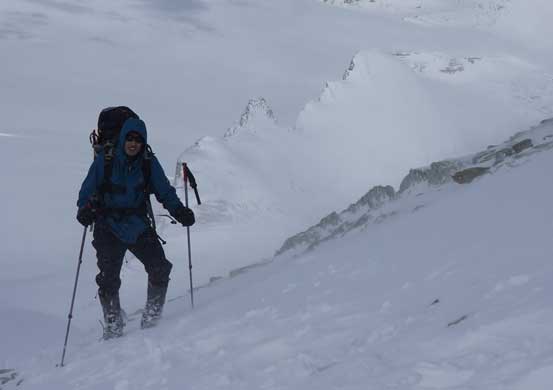
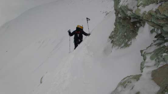
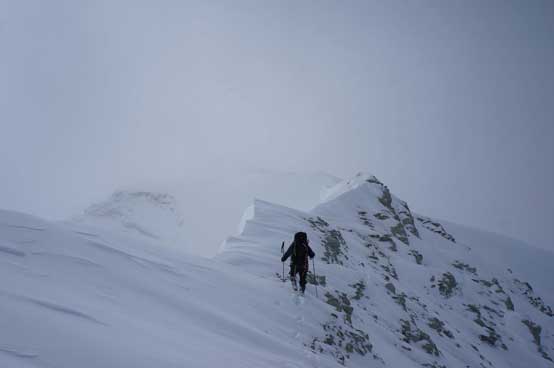
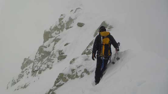
The initial part of Olive’s ridge didn’t look too inviting so we traversed climber’s left first. After a bit we encountered very steep slopes so went back to the ridge crest. It turned out to be much easier than it looked. And then for the lower part of the ascending ridge we had to keep the snowshoes on, and even so it was knee deep post-holing (thank to the snowfall in the previous few days)… If we used skis then this part would be waist deep wallowing which non of us was looking forward to. There’s a rock band partway up the north peak which looked intimidating from afar, but once getting closer, we could easily bypass it on climber’s right side. After this step the terrain started to get wind blown and I ditched snowshoes there. Ferenc kept the ‘shoes on till the north peak. There was a brief 2-minute weather window near the north peak and we managed to capture a couple photos before the clouds rolling in again.
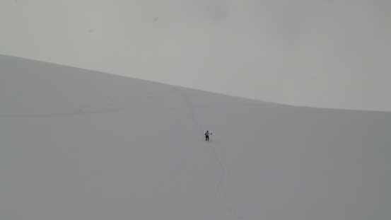
Ascending the steep lower ridge. Knee deep post-holing on snowshoes, certainly not step-kicking as described by other trip reports…
Higher up, we could see the true summit ahead
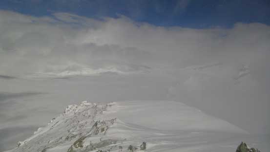
A brief weather window gave us some unique views
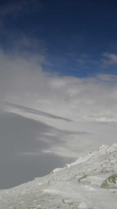
Snow, clouds and blue sky!
Me coming up the north peak. Photo by Ferenc Jacso
Me with St. Nicolas Peak (tiny) behind. Photo by Ferenc Jacso
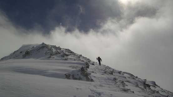
Ferenc ascending the north peak.
On the north peak.
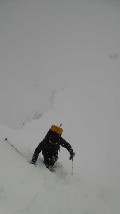
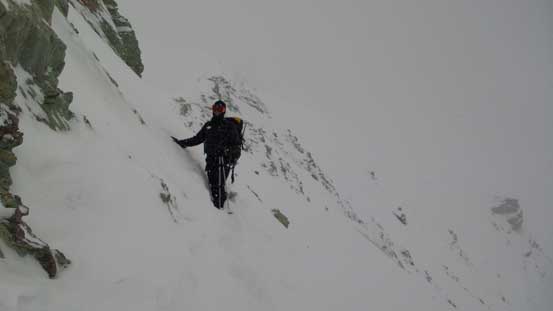
The traverse to the true summit (south peak) was done in white out. Combing down the north peak was easy until near the col where two rock pinnacles provided fresh challenges. Due to the recent snowfall there were big cornices hanging on the left side and partially obscured the ridge crest. Rocks were all coated with a thin layer of snow. We were forced to bypass both pinnacles on the right side. There were a couple very steep snow drifts and slopes to cross (50 degrees ish), and a couple rock steps to scramble through. This part was certainly not for the faint hearted and was definitely more difficult than I thought. The rest to the true summit was easy but still required caution.
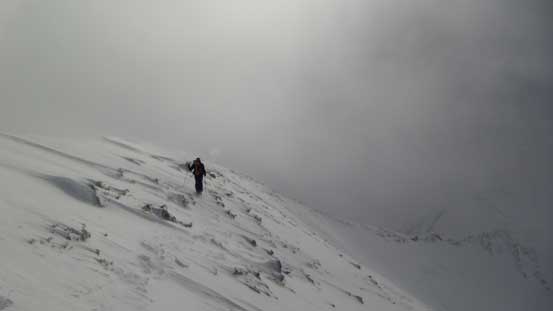
Into the white out again…
Traversing a steep snow slope around the 1st pinnacle
Me ascending the challenging terrain on the connecting ridge. Photo by Ferenc Jacso
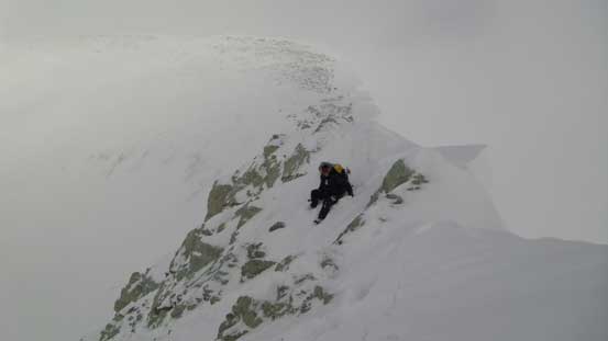
Ferenc near the 2nd pinnacle.
Ascending the true summit
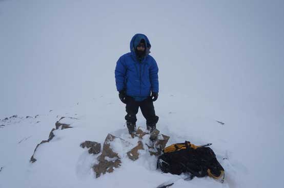
Me on the true summit of Mt. Olive. Photo by Ferenc Jacso
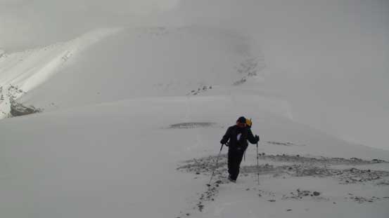
After taking the obligatory summit shots we retraced our steps down. With tracks it certainly felt easier and we were soon back to the col. Up to the north peak was easy but kinda tiring. Lower down we strapped snowshoes on again, but our tracks were covered already and the visibility was even worse now… We still managed to plunge down the ridge to the col quickly. Given the weather Ferenc decided not to do St. Nicolas Peak (I’ve already done it).
Descending the ridge. Near the pinnacles
Very steep terrain…
The descent went by easily. We managed to pick up our tracks on the Icefields but lost them on the glacier above Bow Hut. Then we just aimed straight down. After another short break in Bow Hut we continued descending. The weather had improved a bit now and it was partly cloudy on the way out. The snow had started to melt a bit but in general it held nicely.
Visibility wasn’t too bad on the Icefield
Snowshoeing down the glacier above Bow Hut
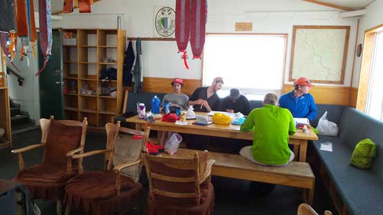
Another group in the hut. They just arrived.

Neat view of Crowfoot Mountain. Weather always gets better once getting lower…
Walking out
Through the canyon
Down to the flats
The boring slog back across Bow Lake
Our round trip time was 8 hours 45 minutes. It was a satisfactory trip to have a big mountain bagged given the questionable weather. Ferenc did all the driving back to Calgary and his family offered me a nice dinner. Thank to them! What I didn’t know was, 1 day later I would be back to Ferenc’s home to attempt a major climb on the far side of the Wapta.
