Emancipation Mountain
March 9, 2023
1200m
Hope / Coquihalla Highway, BC
This is an officially named, but forested bump accessed from Carolin Mine Road off the Coquihalla Highway. When I did Spider Peak in March 2021 I basically wrapped 270 degrees around Emancipation Mtn. but didn’t bother to add it in, as it seemed too lame to be bothered with. On the other hand, I did think Emancipation Mtn. could serve well as a before-work exercise so I also on-purposely saved it for later use. Two years later I formed a last minute group to finally come back, with Raphael, Phil and Sean P. We couldn’t find any record of a previous ascent on the internet so I came up with my own route, a more-or-less direct attack by linking up several clear-cuts. Obviously wrapping all the way around to the north side by following Carolin Mine Road would be the most no-brainer option, but we wanted to explore.
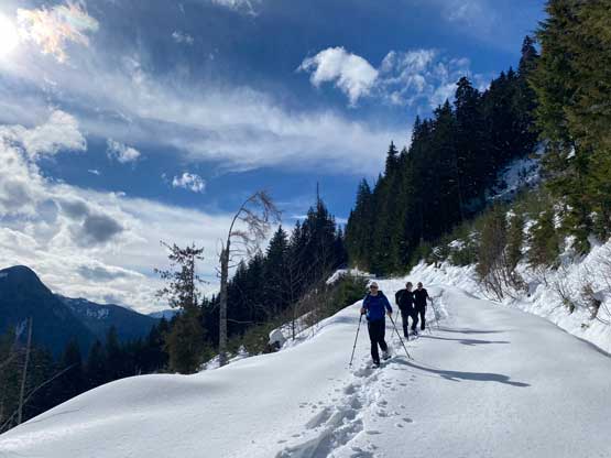
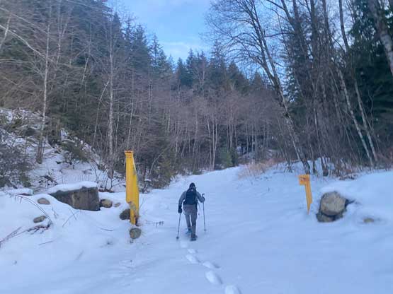
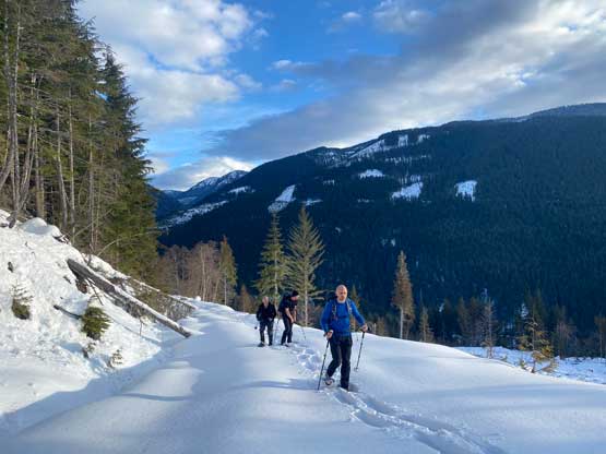
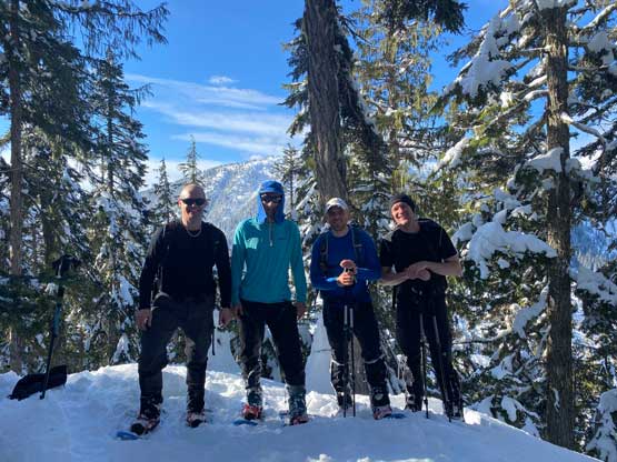
The others weren’t keen on car-camping nor the all-nighter kind of push so we agreed to meet at Abbotsford at 5 am in order to start hiking by 6 am. Phil A. came to pick me up from White Rock to save me from having to drive, as I needed that extra bits of resting for the exhausting afternoon/evening work routine. At Abbotsford we all piled into Sean’s monstrous truck. A few of us was hoping for snowmobile tracks on this Carolin Mine Road but to no avail. The gate was open, but the road was completely virgin. I once again was glad to have brought the 30′ snowshoes. Based on the amount of fresh snow in the past week I was anticipating some horrendous trail-breaking and I was correct.

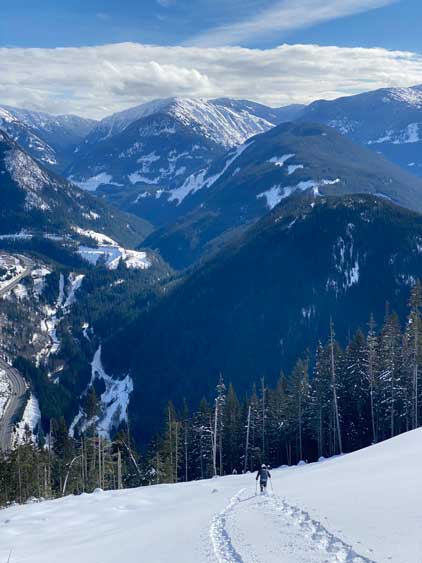
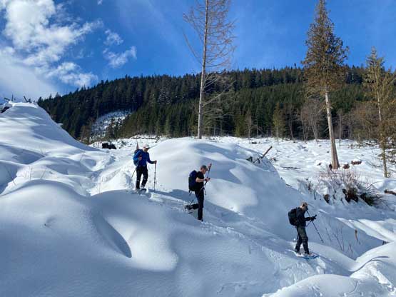
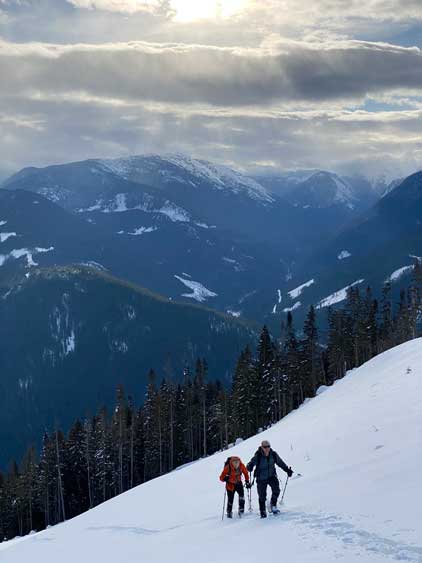
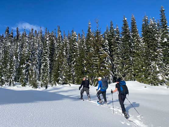
The first few kilometers of this ascent was by plodding up the lower portion of Carolin Mine Road. There’s one substantial wash-out that would stop all vehicular traffic and that probably explained the lack of snowmobile tracks in the area. I did not recall encountering this wash-out in March 2021 so it must be due to the apocalyptic floods later in that year. In any way we easily bypassed the wash-out on the uphill side and the trail-breaking was becoming increasingly heavy the higher we went. At 600 m elevation we were sinking calf deep averagely. We then left the road and dived straight into the first of the three cut-blocks and made a straight-up ascent to link up with the second (steepest) cut-block with a very short period of road-walking in between.


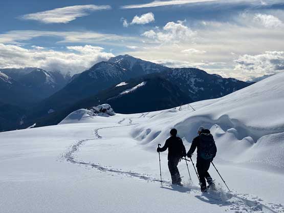
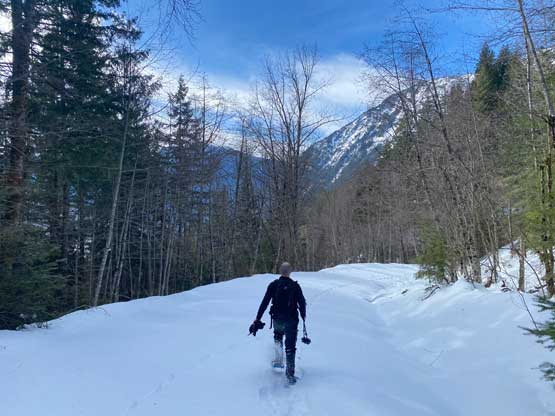
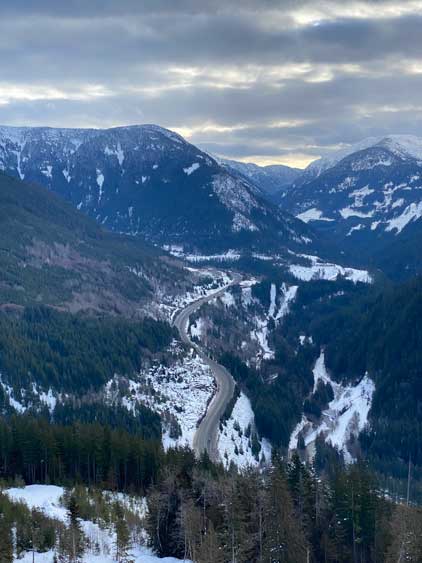
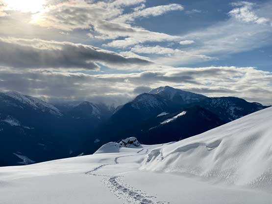
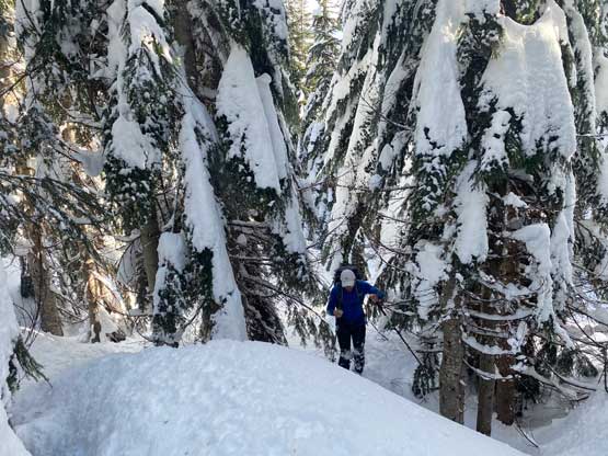
Ascending this middle (steepest) cut-block was definitely a lot harder than I thought given the amount of fresh snow, but the worst was actually the steep forest above this cut-block and below the 3rd cut-block. This stretch of forest reminded us Dog Mtn. a few days prior with thigh-deep wallowing. Despite the lack of precipitation it didn’t seem like the snowpack had gained much strength in the past several days, thank to the cold weather. In any case we made some slow but steady progress and eventually exited the forest onto the (mostly open) 3rd cut-block. Sean took over the lead and went for a diagonal traversing line. About 100 m elevation gain later we popped onto the uppermost FSR system and turned right. The upper cut-block offered the best views from this mountain and that’s another reason why we chose this exploratory route versus the north-side-wrapping-around no-brainer route.


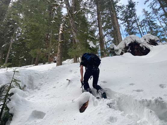

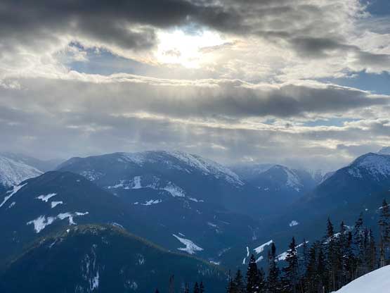

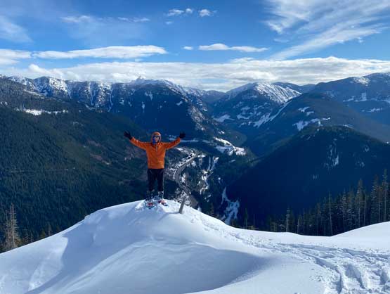
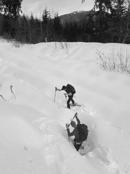
The next stretch was to plod northwards across this uppermost FSR with minor up-and-downs and a while later we were directly under the forested summit block. The others were more eager to dive into the bushes but I insisted to traverse further to look for a better entry point. It turned out that there wasn’t an obvious “better” entry point but the bushwhacking was also not as bad as appeared. Thank to the thick snowpack we didn’t really have to wrestle with the tight timbers. Another 100 m elevation gain later we arrived at the true summit which was completely forested with absolutely no view whatsoever. I spotted a potential viewpoint to the west but the result was rather disappointing. We got a tiny glimpse of the unnamed ridge to the west and that’s it.


After a food break at this “viewpoint” we took a short-cut back to our ascent tracks and easily followed our own tracks back to the FSR system. We decided to just retrace the exact same route that we took, but by mostly plunging down beside our up-tracks thank to the deep and dry powder. Lower down in the middle cut-block the snow condition had finally turned into the wet and slushy kind making the descent treacherous. The rest of the descent was boring and uneventful. Our round trip time was 4.5 hours and I eventually got back to White Rock at 1 pm in time for lunch. I also earned myself enough time for a nap before showing up at work.