Taggart Peak
January 15, 2019
796m
Abbotsford, BC
Taggart Peak is rather a sub-summit of the heavily-wooded Sumas Mountain that somehow stands out in the middle of Fraser Valley. It’s about 100 m lower than the main summit of Sumas Mountain – Sumas Peak, but it does looms prominently above the valley floor viewing from south. It seems like one can easily hike up the deactivated logging road on the north flanks from Sumas/Taggart saddle but a more interesting option is via Abby Grind and Glen Ryder Trail from the south side. The trail of Abby Grind has gained some popularity recently through social media exposure but not a lot of hikers actually go to the summit. I had previously been saving this objective for such a day that I don’t have enough energy or time to go for a bigger prize, but yet motivated enough to go for a hike. The drive would take a mere hour from my house, and the hike would take no longer than “half a day”.
This winter had been a warm and one with more prolonged period of sunny days than normal. I rested for about 10 days since coming back from a very successful peak-bagging trip in Mexico, and I felt it’s about the time to head out again. The weather for Tuesday was too good to pass, but I needed to be back in town by 3:30 pm for work. It didn’t take me long to decide on Taggart Peak because it’s “right there” in the middle of Fraser Valley and has a trail leading all the way to the summit. The elevation gain would be around 700-800 m. For trips like this I wouldn’t mind taking some newbie hikers to breathe some fresh air in, because why not… Kat and I left Surrey at around 9:30 am and about an hour later we were at the trail-head. The traffic was a fluent flow with no delay whatsoever.
Taggart Peak via Abby Grind. GPX DL
This was my first time hiking Abby Grind and based on the trip reports I was expecting a steep grunt like the Grouse Grind, but this trail was much mellower. It also seemed like there had once been an old trail with a much steeper grade. The newly built trail had a lot more switchbacks and that kept the grade down. In any case we completed the Abby Grind portion of the hike in about an hour. The viewpoint did offer some views but far from “memorable” if you ask me. There’s nothing special so we resumed on. Continuing onto Glen Ryder Trail the path quality deteriorated in no time – overgrown with some dead-falls to hop over or duck under. The pace was slower than my expectation because of that. We also had to deal with a few minor up-and-downs with some fairly lengthy flat stretches.

This is the start of Abby Grind hike

About 100 m up we came to a minor viewpoint

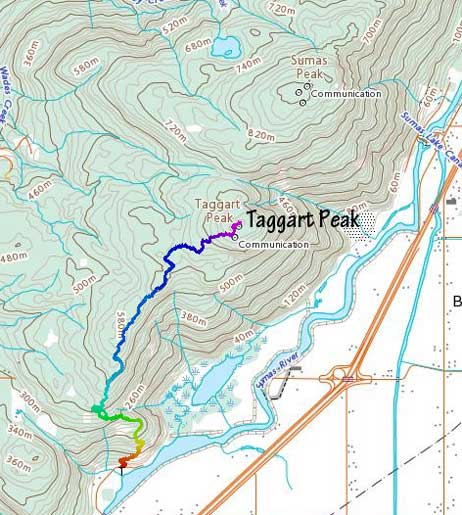
The forest is actually quite gorgeous
Onto Glen Ryder Trail now.
The Glen Ryder Trail is much rougher with overgrown stretches
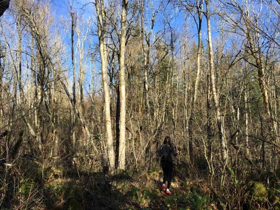
There’s a small pond at a saddle. Minor up-and-downs on the ridge

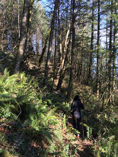
This is as typical as the view gets

Just another shot hiking in the forest
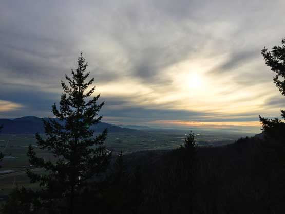
At last we were at the base of the final push. Here we exited the Glen Ryder Trail briefly onto an old logging road. I was confused so checked the GPS on my iPhone, and I soon realized that the trail actually did follow this road for a while. Traversing leftwards for about 300 m we came to another trail junction, and this time the right fork would take us all the way to the summit. The true summit had some communication towers structures partially ruining the views, but generally speaking the views were actually better than anticipated. I wished I brought my camera up there to take some zoomed-in shot. With only the iPhone I couldn’t really capture the snowy giants to the north.

This is somewhere on the last 100 m to the summit

Almost there.

Sumas Peak stands taller than us.
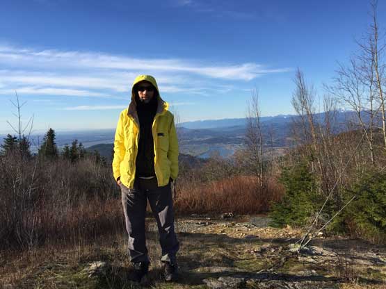
Me on the summit of Taggart Peak
After staying on the summit for about half an hour I said we had to hurry up, in order to not miss my afternoon work. It seemed like I probably would need to cancel a class or two based on the current pace, but with the stellar weather I was fine with that. The classes could be rescheduled and making the summit was certainly the more important. The descent took longer than expected due to those flat and uphill stretches. Long story short, I had to cancel two hours of classes, but that’s okay. I did make up the loss by working an additional Sunday on that week…

Hiking down the typical Glen Ryder Trail

There were dead-falls to negotiate
Back to the viewpoint above Abby Grind now.

Hiking down Abby Grind. Almost done.
Overall this was a great half-a-day outing and I would actually recommend Taggart Peak via Abby Grind. This is not a pointless summit and it does offer some neat views even in the forest.
