Powderface Ridge
March 8, 2014
2220m
Kananaskis – Elbow River, AB
Powderface Ridge is a rounded and insignificant summit in the frontmost part of Kananaskis Country. And yet, it’s one of the only 5 or 6 peaks that have defeated me in the past. It’s so small that took me more than 1.5 years to (eventually) plan the second try.
My first attempt was two years ago in summer conditions, immediately after the insane 16.5-hour Mt. Fullerton – Nihahi Ridge – Compression Ridge scrambling link-up. I knew there’s chances of thunderstorms in the forecast but there’s no way I could wake up at 4 am. I decided to sleep in so didn’t manage to start until after 10 am. About an hour into the trip a nasty storm blew in from south and I could hear thunders for every 20 seconds or so. I was still far away from the summit so ran down the mountain.
There’re numerous ways to get up this little peak. The shortest way is from a high “pass” on Powderface Trail at about 7 km north of Little Elbow campground. A longer but more popular summer trail goes up from near Little Elbow campground at the start of gravel road, and finally, the longest route involves slogging up a trail beside Powderface Creek. This trail-head starts only a couple hundred meters from the winter closure gate and thus this route is the only feasible way in winter (Dec. 1 to Apr. 29). Inspired by Matthew Hobbs who attempted this route a couple weeks ago, I figured it’s finally the time to tick this summit off my list. Avalanche forecast was high/high/considerable for most areas, weather forecast was questionable and apparently there’d be strong wind as well. Given this condition I really didn’t have much room to choose. Well, at least there’s something inspiring me to get out, as +10 degrees temperature was almost 50 degrees warmer than last weekend.
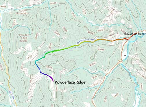
Powderface Ridge winter ascent route. GPX DL
Of course doing a foothill objective solo would be very boring. My mom hadn’t done a trip for a long time but she managed to maintain a good level of fitness by walking to work everyday (40 minutes each way). So I figured it’d be a good workout for her as well. It’s overall not that short. I was a little worrying about the road condition on Highway 66 from the recent dump, but apparently it was well maintained. And the trail was much well maintained than I thought too! Apparently many people had booted a long ways in. We didn’t even need snowshoes for most part of the approach. I put them on for extra traction but mom decided to carry them in order to reduce weight on her feet.
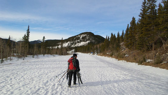
Hiking up the closed road for a couple hundred meters
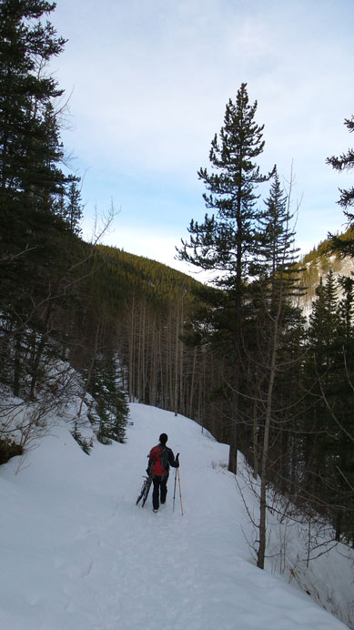
Typical view from Powderface Creek trail
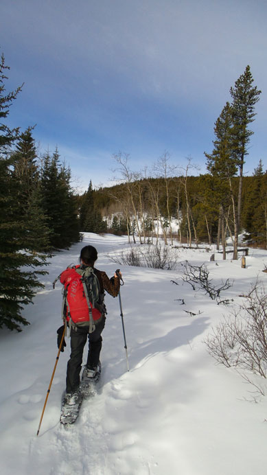
Further in we strapped snowshoes on

Looking back.
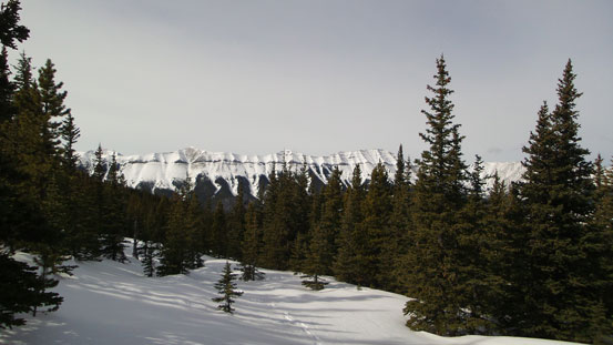
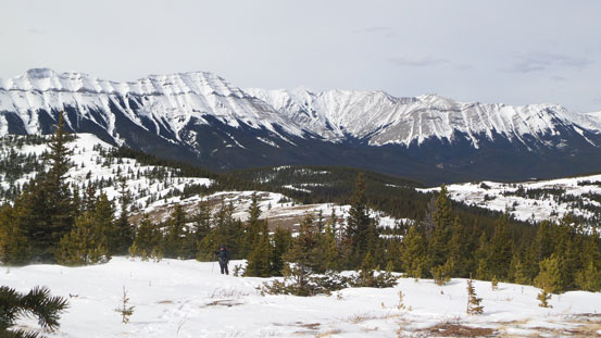
Based on Matthew’s trip report, we decided to short-cut the route through bush nor far from “Powderface Pass” in order to avoid an unnecessary bump on the ridge crest (thus, elevation loss/regain). It took us quite a long time to get to this point (it’s a boring slog up the trail). It was a bit confused where to leave the trail. My GPS came handy at this point. The bush section was worse than expected. Post holing was general knee deep and bushwhacking was dense at places. The snow was bottomless and offered no support at all. And once we broke through the trees, we were welcomed by crazy wind. It wasn’t cold wind, but it was strong enough to knock us off balance for a couple times. After taking a lunch break at a sheltered place, we ditched snowshoes at treeline and proceeded on foot for the final slope. The views were good but not very exciting.
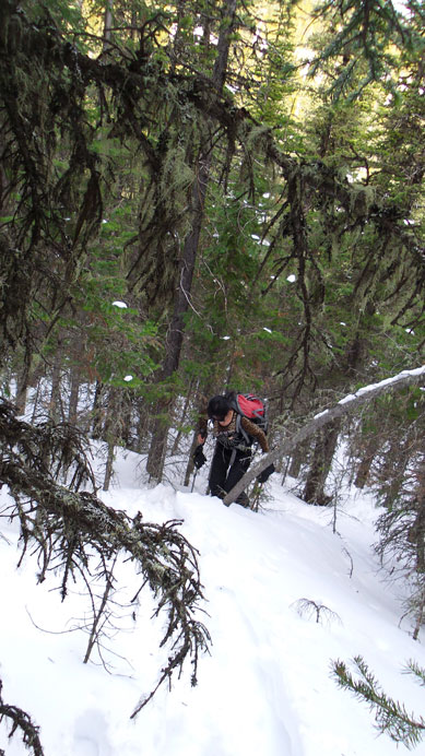
Snow was horrible once leaving the trail
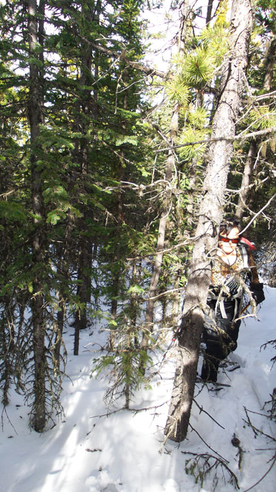
And bush was dense…
Started to see Nihahi Ridge
I haven’t done the Glasgow to Banded traverse yet
It was very windy on the alpine

The summit ahead. We still had to keep the ‘shoes on for a while
Yamuska looks small from here!
Ascending the open terrain
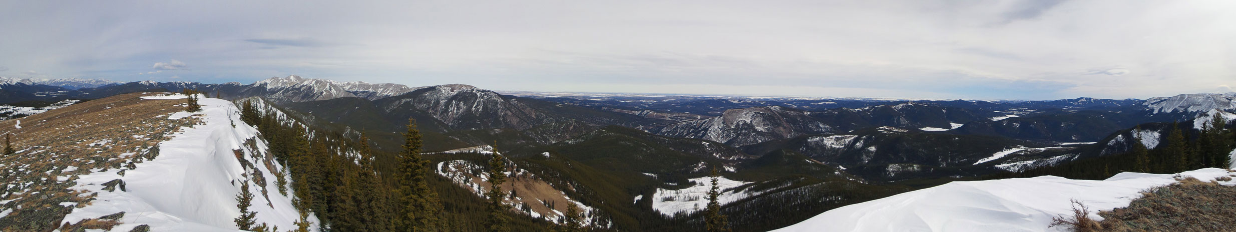
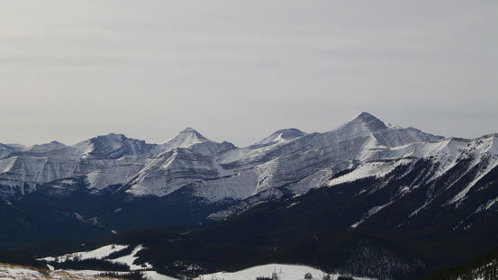
Summit Panorama looking towards the prairie. Click to view large size.
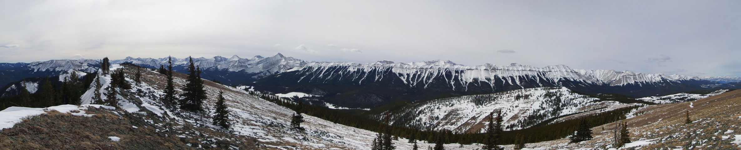
Summit panorama looking towards front ranges. Click to view large size.

Moose Mountain

Prairie Mountain

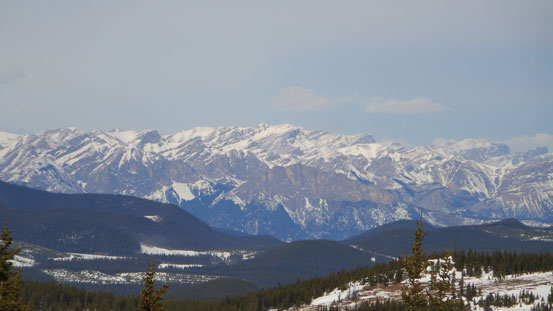
Can see Calgary from here!

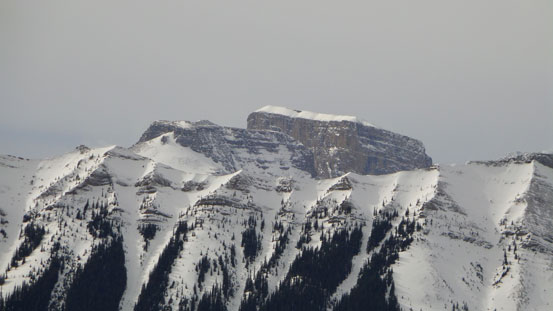
Bluerock Mountain
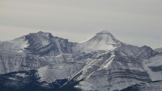
Banded Peak
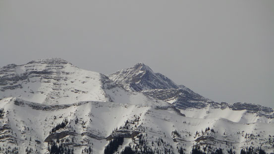
Remus and Romulus
Fisher Peak rises behind Mt. Fullerton

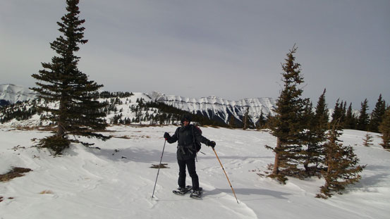
Mom approaching the summit
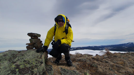
Me on the summit
On the way back down we noticed a set of Alpine Touring ski tracks following our route into the bush… It’s apparent the skier had turned around on our route not far up. It turned out to be Wietse! Later after getting back home I received an email from Wietse saying he’d seen me on Powderface today! Oh well. He later ski’d further up the trail to a pass and then bootpacked to the summit. I agree that the trail is indeed better on skis, but before the trip I had limited beta for this route.
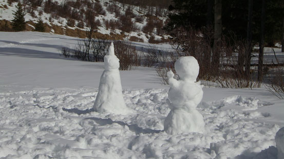
Someone built snowman here. I’m sure they’ll melt in no time..
The return was again, boring, and also, hot. The thermometer recorded +11 degrees at parking lot and we even turned on the cool air conditioner on the drive home. Overall, it’s not a very exciting trip but offered some nice workout. It’s also nice to bring my mom back into the mountains (finally). Powderface Ridge turned out to be a good objective when avalanche is high, and no matter when you do it, you’ll unlikely see many people up there (unlike the nearby Prairie Mountain which is usually a zoo). Our round trip time was about 6-7 hours on a leisurely pace.
