Mount John Clarke (Sun Peak)
July 23-25, 2020
2306m
Sims Creek / Princess Louisa Inlet, BC
John Clarke is one of the most, if not the most accomplished mountaineer of the Coast Mountains with hundreds of first ascents across the range. This peak had an unofficial name “Sun Peak” but has been officially renamed to Mt. John Clarke since 2020 in honour of the legendary mountaineer. This peak sits in between Princess Louisa Inlet and Sims Creek and towers above the adjacent valleys for more than 2000 vertical meters. The ascent is largely non-technical. There are also trails to facilitate the approach through the steep coastal rainforest. One can approach from Princess Louisa Inlet and Loquilts Lake to the SW, or from Sims Creek valley and Bug Lake to the NE. The peak has also been used as an entry point for ambitious parties trying to traverse towards Mt. Tinniswood and such trips take at least a week. For Alex, Vlad and I this peak was done as part of a 10-day traverse from Clendinning Range towards Elaho-Jervis Divide.

The section from Loquilts Peak to Deserted N1.
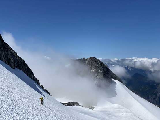
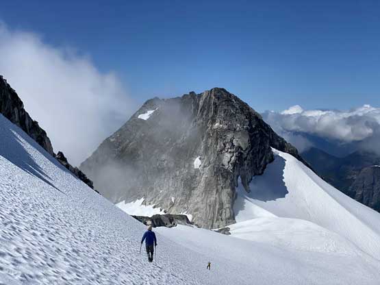
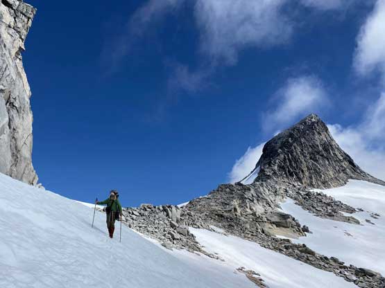
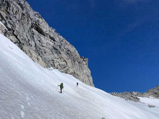
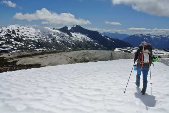
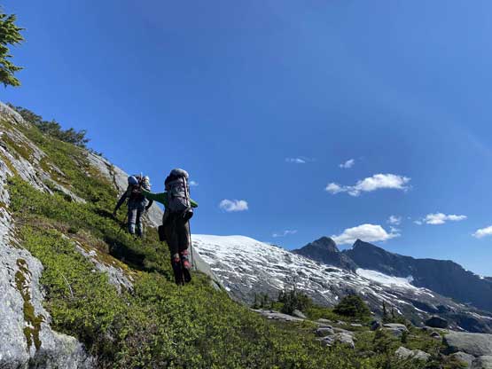
It was the 6th day of our traverse and earlier in the morning we had carried over Loquilts Peak and now off the “Bon-Bon Glacier” looking for a route to the base of Mt. John Clarke. This section had a few rugged granite bumps that didn’t look super friendly on the satellite images, but this was also one of the only “known” stretches. Previous parties had traversed from Mt. John Clarke to Mt. Tinniswood and back, so we knew there definitely had a way. We did not have the GPS track for it unfortunately but with our experience we should be able to find the route. The first bump was ascended/bypassed on the climber’s left side on somewhat exposed ledges that looked worse than they actually were. Then we had a section of easy walking and suddenly we had views down into Princess Louisa Inlet for the first time.
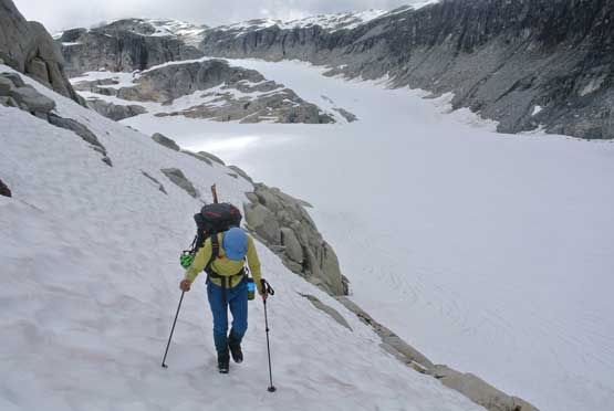
Me ascending snow ramps above Bon-Bon Glacier. Photo by Alex R.

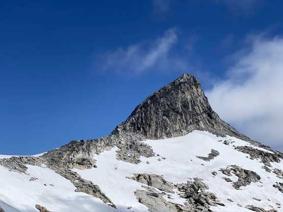
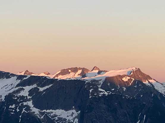
Our first view of Mt. John Clarke, which was still partially in the clouds
Snow ramps and ledges were the key to bypass the first bump
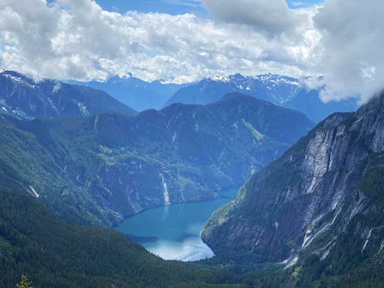
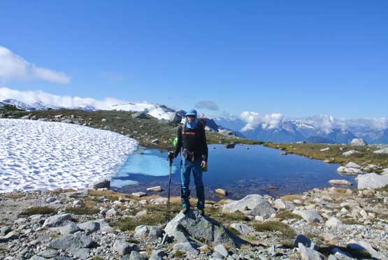
My first time seeing Princess Louisa Inlet
Vlad and Alex looked stoked to see the inlet
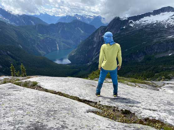
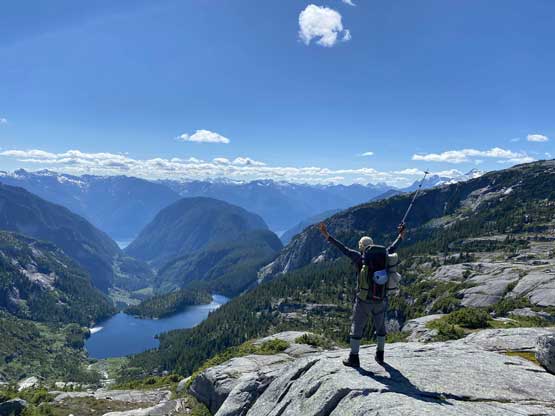
Me posing in front of Princess Louisa Inlet
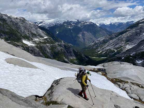
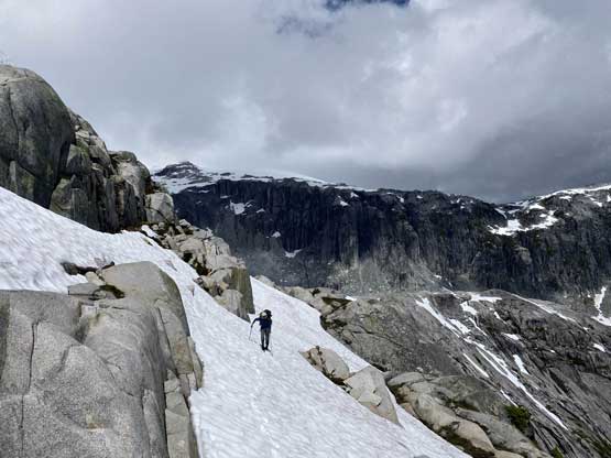
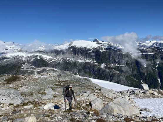
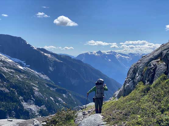
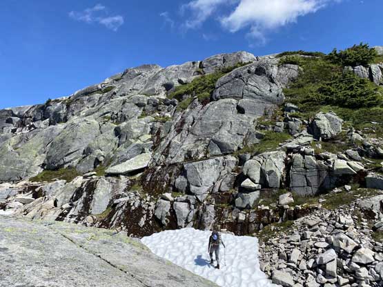
Alex travelling on the typical terrain here.

I couldn’t help but to pose in this tarn… Photo by Alex R.
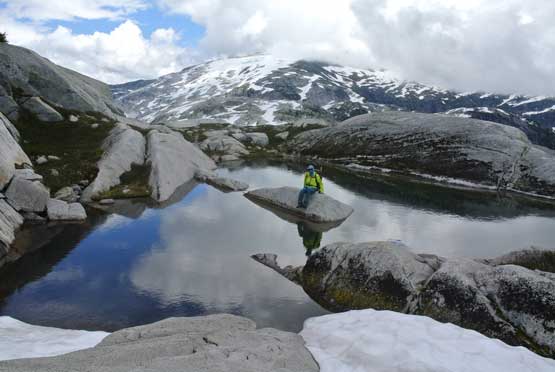
Another photo of me in the tarn. Photo by Alex R.
Vlad and his reflections
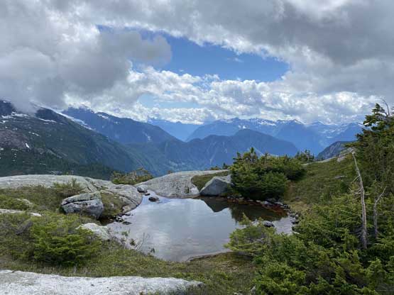
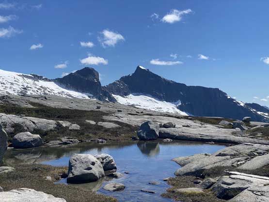
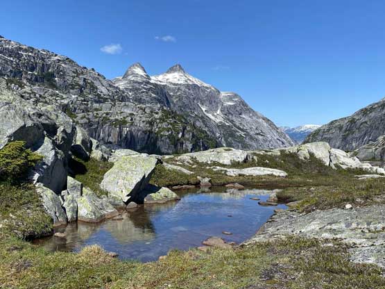
There were many small tarns on the ridge here.
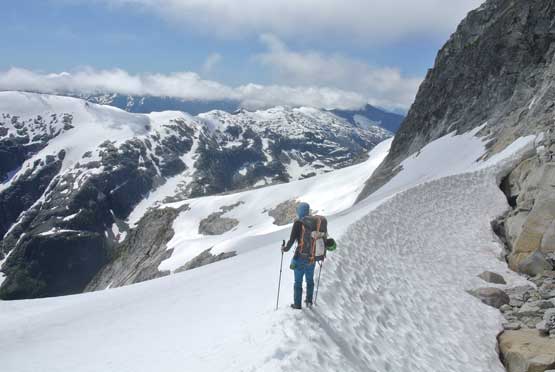
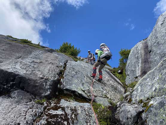
The crux of the traverse to the base of Mt. John Clarke came at an abrupt 50-m slabby face that must be down-climbed. This stretch felt intense and was doable without a rope only because of the occasional path and cairns that kept reinforcing our faith on this route. There were a few 4th class steps with one particular down-climb that required us to take the backpacks off, and a ton of zig-zagging trying to stay on some reasonable ground. After this stretch of “fun” we had another bump to go over. This time we confused ourselves a little bit but did manage to find an easy route to get down to the upper lake under Mt. John Clarke where we set up the basecamp for the next two days. It took us a while to find the food buckets placed by our trusty pilot (50 m above our tents). For the rest of this day and the following day we did nothing but eating a lot of food and resting. Day 7 was supposed to be our rest day anyway, and the weather actually cooperated nicely for that. It rained literally a shit ton. I woke up in the morning with my tent partially submerged in a pool. I was forced to relocate the tent. Meanwhile Alex and Vlad kept themselves busy by digging some trenches of water runnels so that they didn’t have to relocate their tent.

Vlad finding an exposed ledge
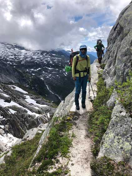
Me and Alex traversing the ledge

Me down-climbing a 4th class step. Photo by Vlad M.
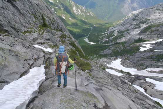
Me continuing down, with lots of tricky route-finding. Photo by Alex R.
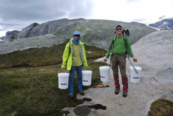
Alex and I discovered the food buckets. Photo by Vlad M.
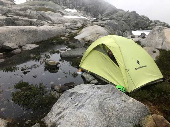
The next morning I woke up with the tent partially submerged…

I relocated the tent a little bit, and here’s our camp..

The upper Loquilts Lakes were still frozen

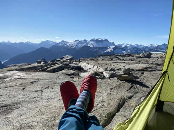
A view from my tent…

Vlad found a pool of water to find a hole in his sleeping pad…
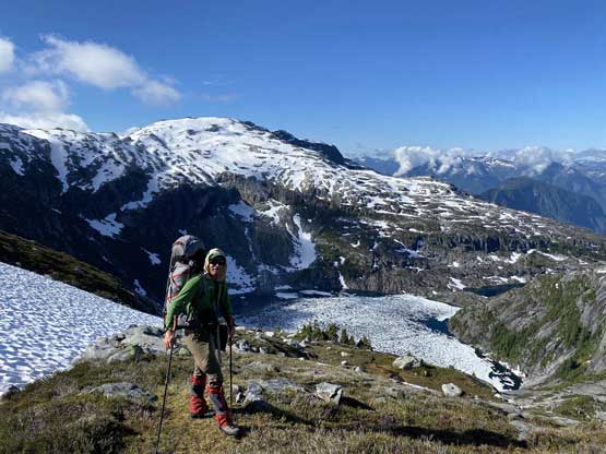
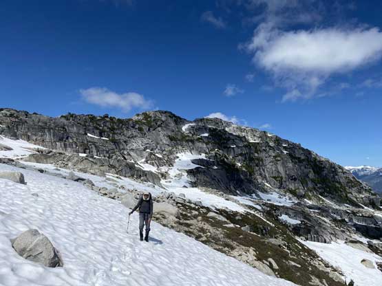
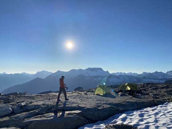
The morning of Day 8 saw some bluebird skies so we packed the camp. We loaded all four buckets with garbage and gears that we didn’t need for the rest of this trip and put them back under the big boulder so that the pilot could pick them up when he eventually flies back to that area in the future. The route up Mt. John Clarke was fairly obvious and actually had some forms of a path leading the way. We traversed southwards towards the bigger and lower Loquilts Lake for a while and once making sense we ascended back towards NE to get onto the broad east ridge of Mt. John Clarke. After that we had a long while of easy albeit tedious slog on snow and glacier to the col between the two summits.

Vlad placed the buckets back in place on the morning of Day 8

There are quite a few tarns in this zone, all frozen.
Alex with the bigger, lower Loquilts Lake below
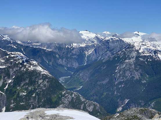
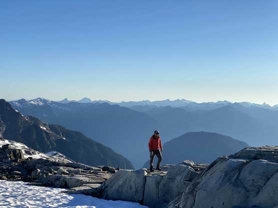
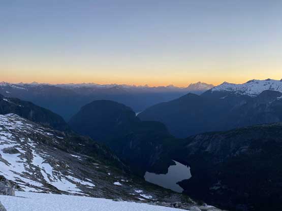
A view down into Princess Louisa Inlet showing the rugged terrain

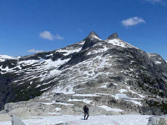
Finally made to the broad west ridge of Mt. John Clarke
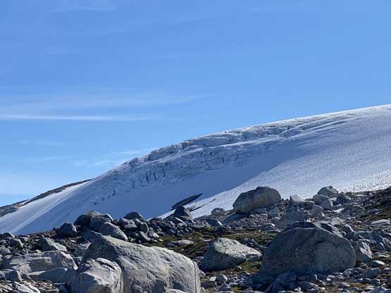
There’s a sizeable glacier that we were going to ascend
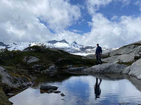
Me in front of a cool tarn. Photo by Alex R.
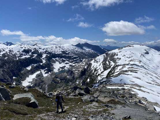
Vlad plodding up with Loquilts Peak and Mt. TInniswood behind

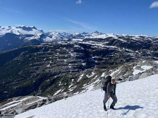
Alex plodding up the glacier towards the high col

Vlad plodding up the glacier…
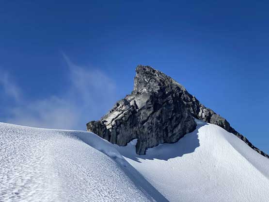
The lower SW peak from near the col..
We ditched our backpacks at the col and went for the true (NE) summit. The morning snow required us to strap crampons on to traverse to the north ridge. The north ridge was then followed to the summit with only one or two class 3 moves. This summit register also had some pretty decent history. Alex had been up here ten years ago so it’s pretty cool to sign his name again. We also found cell services on the summit so spent at least half an hour reconnecting with the society, checking weather forecasts and making plans for the pick-up flight. At this point we already decided to cut the traverse short by exiting at Deserted Peak so we needed to let the pilot know.

Alex and Vlad traversing towards the north ridge of Mt. John Clarke
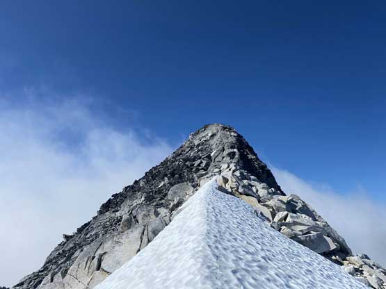
The short scrambling on the north ridge
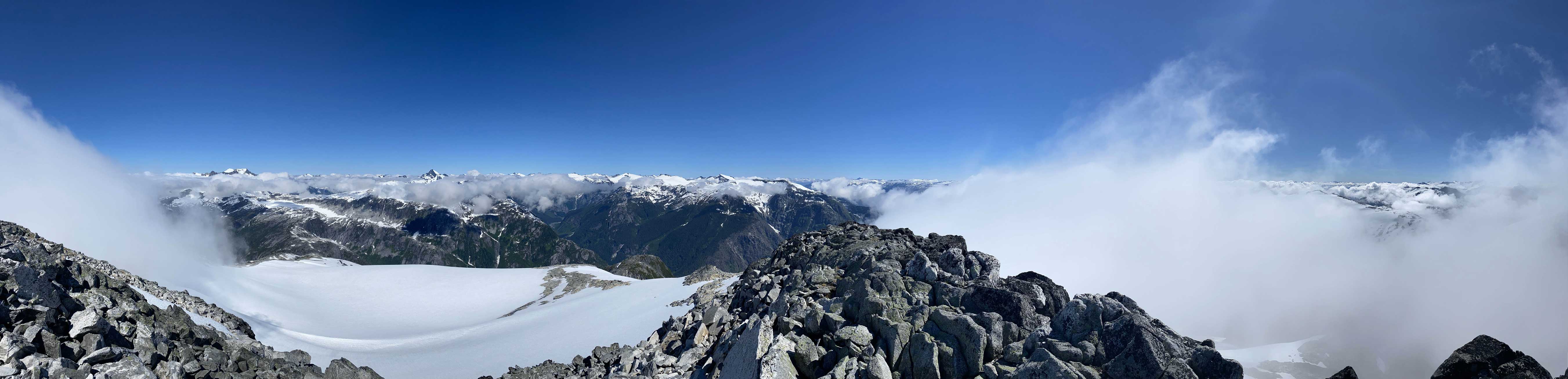
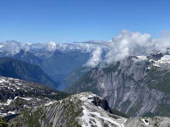
Partial Summit Panorama from Mt. John Clarke (Sun Peak). Click to view large size.
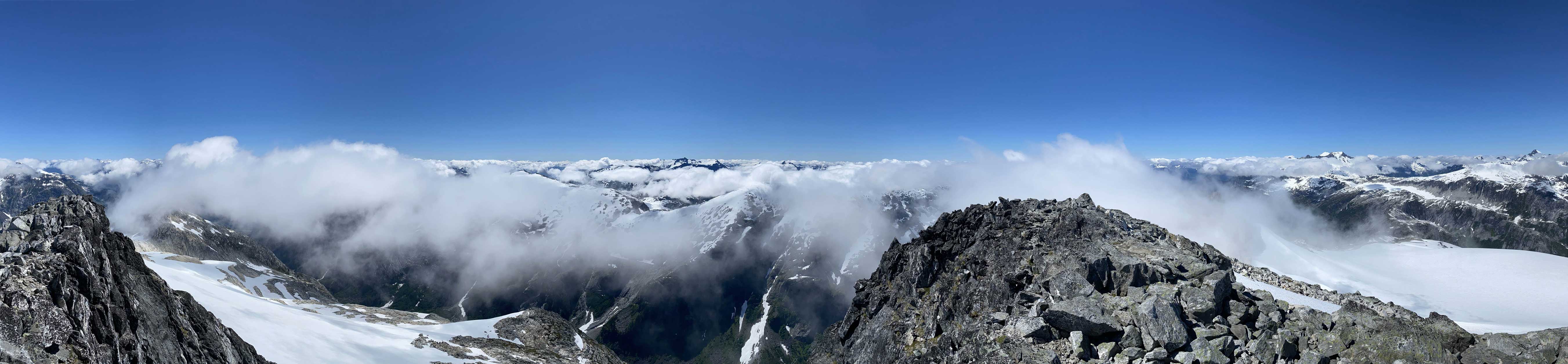
Partial Summit Panorama from Mt. John Clarke (Sun Peak). Click to view large size.
Alex on the summit of Mt. John Clarke for his second time

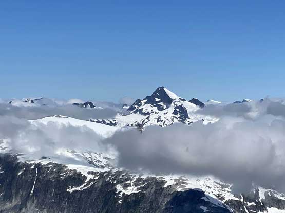
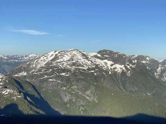
A closer look at Mt. Albert, one of the giants in this area

Alex and Vlad with Mt. Oswald, Mt. Pollock and Mt. Ralph behind
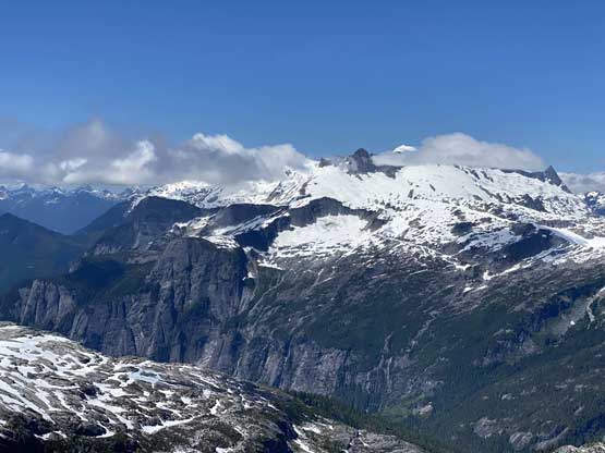
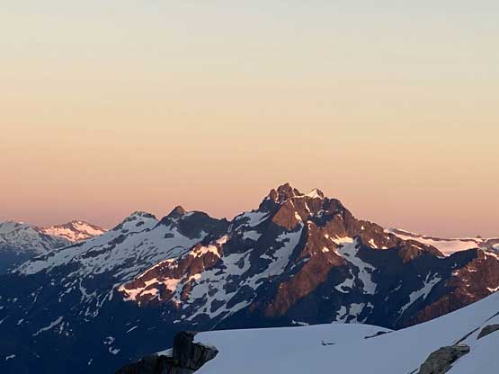
A closer look at Mt. Tinniswood that we climbed a few days earlier
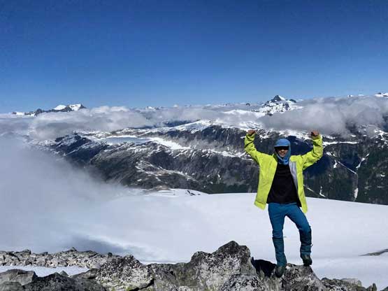
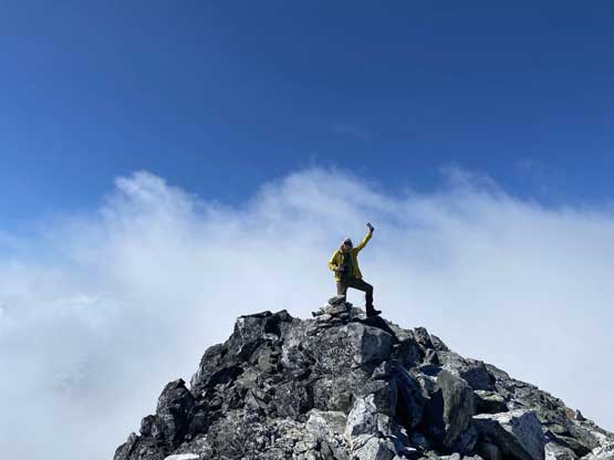
Me celebrating the summit of Mt. John Clarke
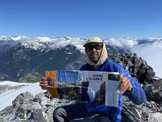
Vlad discovering some history here

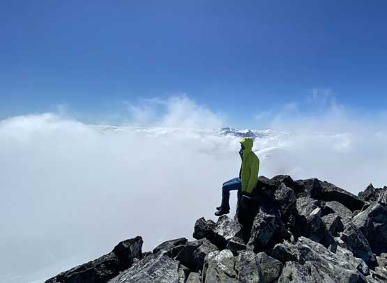
The east side had some cool inversion scenery

A zoomed-in view towards Ashlu Mountain and Ponor Peak
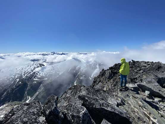
Me on the summit of Mt. John Clarke taking in the views

Another photo looking towards Ashlu Mtn. in the far distance
Another photo of me on the summit doing my things…
Once having enough time on the summit we leisurely walked back to the col and then shouldered the heavy packs. The traverse and descent around the lower SW summit was done on some steep and exposed snow ramps but didn’t impose much of a problem to us. We then descended the long and tedious SW Ridge with many granite steps and slabs thrown in, and plodded up one more subsidiary bump with about 100 m of elevation gain.

Vlad scrambling back down the north ridge
Looking deeply into the headwaters of Sims Creek
Traversing back towards the col between the two summits
Another photo of the snow traverse back towards the col
Me wondering about the traverse around the SW summit.
Alex dropping into the snow traverse
You can’t see here but the slope is very exposed
Looking back at the NE (true) summit of Mt. John Clarke

Alex around a corner to join the south ridge

Looking towards Outrigger Peak
Mt. Tinniswood pokes behind Loquilts Peak
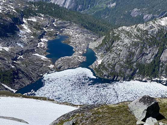
Loquilts Lake
The massif of Mt. Albert rises more than 2500 m above the inlets
Plodding down the typical terrain on the south ridge
Ascending the next bump now, looking back

Another photo of Loquilts Lake and the typical terrain here
After a long break on this subsidiary summit we resumed the traverse towards Mt. Pearkes and the terrain started to become more and more tedious and “North-Shore-like” with lots of route-finding on granite steps/slabs and bushes. I made one major route-finding error by trusting what appeared like a short-cut ramp and instead of retracing I just set up the rope around a tree and we all rappelled. This turned out to be the only time we needed a rope on this trip. After that bits of excitement we decided to stick fairly close to the ridge crest but still faced some obstacles descending to the low saddle, losing another 300 m elevation or so.
Me plodding across. Photo by Alex R.

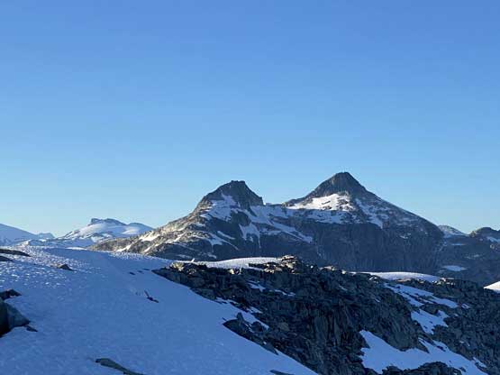
A zoomed-in view of Mt. Pearkes, our next objective
We got off-route and did one rappel to correct ourselves
Vlad with the substantial bump behind
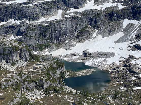
There are more lakes in the valley between Mt. John Clarke and Outrigger Peak
Mt. Pearkes and a tarn
Alex plodding into the inlet zone
Looking back at Mt. John Clarke which looks like cat’s ears…
The re-ascent from the saddle had another 300 m elevation gain and the terrain was no easier than what we just did, but the uphill orientation meant the route-finding was easier. We took our time and made to Pearkes-Outrigger ridge in the late afternoon time. We found a decent spot to set up camp with running water and excellent views and settled for the night. The following day we would ascend Mt. Pearkes first in the morning and traversed a long ways to Outrigger Peak for another amazing sunset.
Vlad reascends out of the deep saddle
Linking up grassy ledges and ramps was the key
Vlad with the inlets behind
Vlad plodding onto Pearkes-Outrigger ridge
A while later, here’s me in my tent relaxing
Alex went to grab some water from a running stream
Alex and our camp

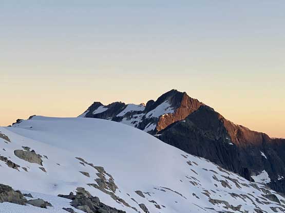
Mt. Crerar looks very impressive
Deserted Peak would be where we finished this traverse at
Another view of Mt. John Clarke
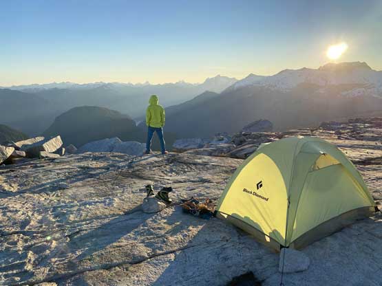
Me and my tent. Photo by Alex R.
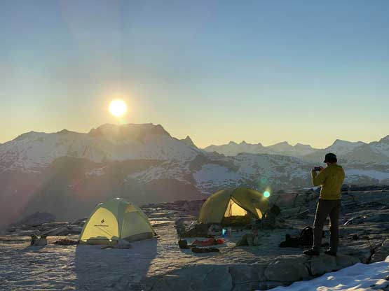
Alex and our camp in front of Mt. Albert and the sunset

Vlad found another vantage point for the sunset

Alex taking in the scenery
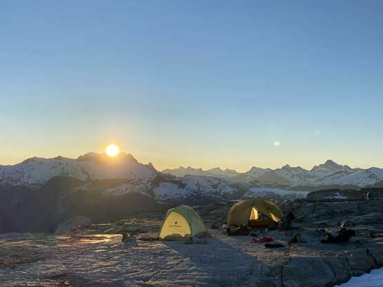
One last photo before the sun drops down
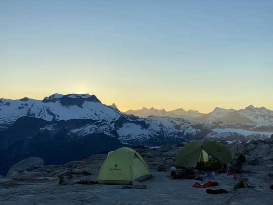
The sun’s down. Here’s our camp in front of Mt. Albert
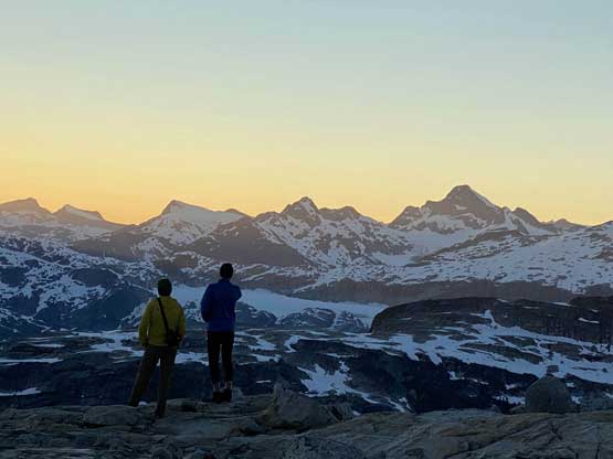
Alex and Vlad in front of Mt. Tinniswood
Evening alpenglow on Mt. Pearkes
It’s dusk horizon now
Alpenglow on Mt. Crerar. I don’t know anybody who’s done this peak…
Ashlu Mountain pokes behind Ponor Peak
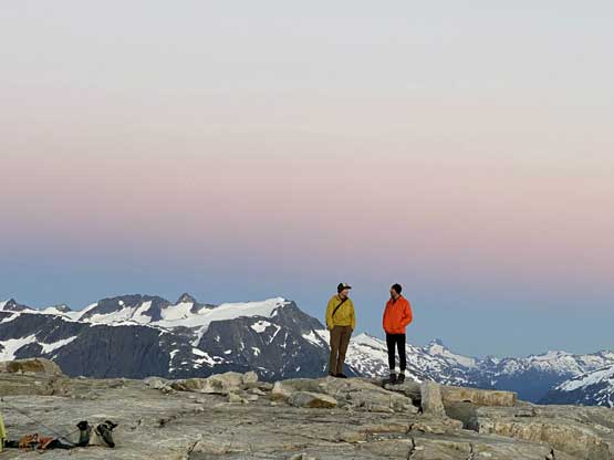
Alex and Vlad having some fun time here.
