Spionkop Ridge
July 2, 2012
2576m
Castle Wilderness, AB
Spionkop Ridge is a scenic and relatively straightforward scramble in the south Rockies. Though the summit is completely in the East Castle area, the ascent is usually done from the Waterton side. Folks that still have plenty of energy after bagging the nearby lower Newman Peak should consider extending the trip further towards Spionkop Ridge and/or Avion Ridge, and this route is well documented in Andrew Nugara’s More Scrambles book.

Spionkop Ridge standard scramble route from Newman Peak
Eric and I left our packs on the summit of Newman Peak because we had to return the same way, and started the descent to Spionkop Ridge. There’s nothing difficult/challenging but to get there but we had to lose about 200 m elevation (and never mind the elevation regain on the way back). On the way down to the col, we saw a couple of people descending from Spionkop Ridge. I told Eric that they would have been Jeff and Andrea as I knew exactly their plan for the weekend (I was even invited to join that trip but I chose not to). Indeed, they were Jeff, Andrea and their friend, Aga. They were surprised that I didn’t go to Jasper according to the original plan. The scree on Spionkop Ridge was very firm which helped a lot and the summit was reached at roughly 1:00 PM.
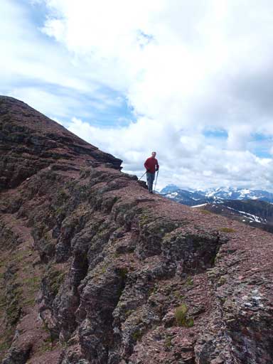
Eric descending from Newman Peak
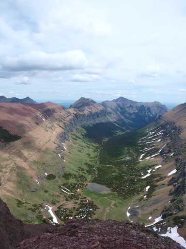
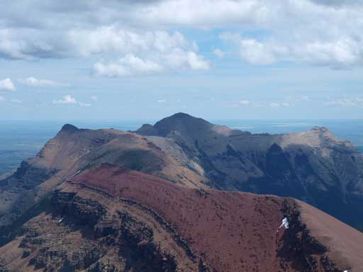
This is the valley between Spionkop Ridge/Mount Roche and Red Rock Rim (Gelway to Newman)
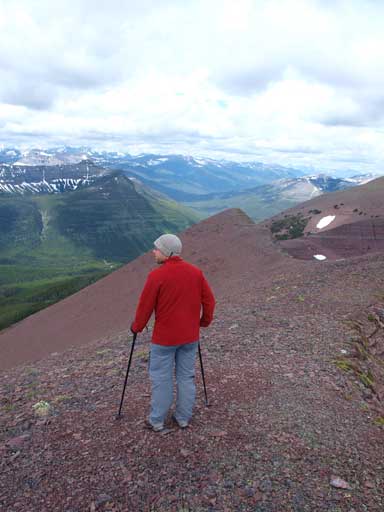
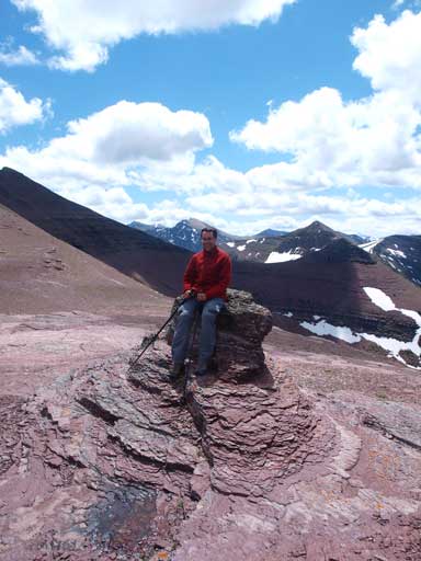
Admiring the views
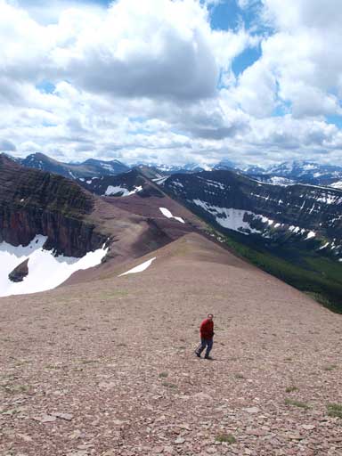
Eric slogging up Spionkop Ridge
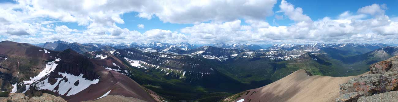
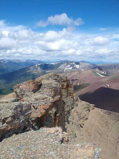
Partial Summit Panorama from Spionkop Ridge
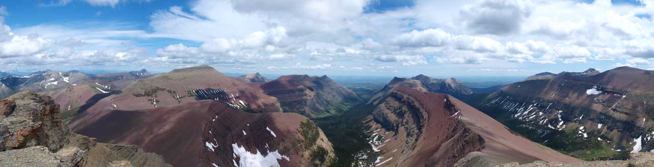
Partial Summit Panorama from Spionkop Ridge

Miskwasini Peak, Kenow Mountain and others by Kishenena Creek

Mt. Blakiston, Mt. Hawkins which are part of the “Hawkins Horseshoe”
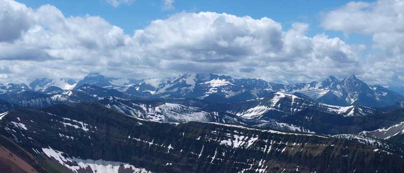
Giants in Glacier National Park, MT
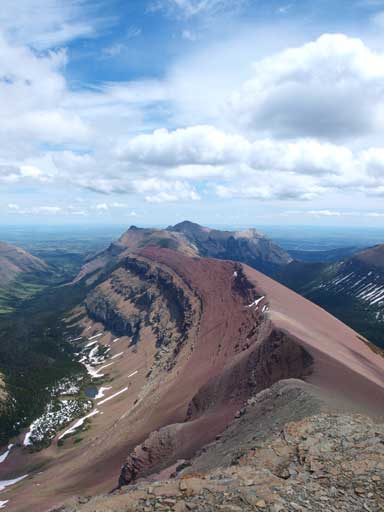
The ridge of Spionkop leading eastwards
Mount Roche at center, Mount Yarrow on right.

Loaf Mountain
One last view before going down.

Drywood Mountain on right.
Eric sitting on a rock nipple, at Newman/Spionkop col.
The next thing to do was to get back to the summit of Newman Peak, note the 200m elevation re-gain… We used more rocks on the way up that section. I managed to get back to Newman summit about 20 second after Jeff’s group left. Okay, the next thing I found out was the rocks in my pack… Thanks guys. Checking the map, I found that it might be possible to traverse to Mt. Glendowen from GR127513, therefore Eric and I carried our packs while ascending GR127513. It’s just a slog to get to this higher unnamed summit (2:10PM). Again, unnamed doesn’t mean not-worthy. This viewpoint is considerably higher than the surroundings including Newman Peak.We weren’t 100% sure about the possibility to get to Glendowan, but better safe than sorry, so we retraced by to Newman Peak. (This part is included in my Newman Peak trip report as this GR is more like a higher subpeak of Newman so I don’t want to claim it as a different summit). And our next objective was Avion Ridge.
