Deemer Peak
August 30, 2019
1906m
Plains / Highway 200 Corridor, MT
Deemer Peak locates immediately to the north-east of the small town of Plains in north-west Montana and draws little attention to anybody except for peak-baggers chasing “P2K”s across the country. This peak is probably more frequently visited by workers of logging companies than recreationists. The are multiple logging roads running on the lower slopes in the Henry Creek drainage and at least one road extends all the way to within 20 minutes of walking from the summit. This road is drivable by most passenger vehicles such that I was really impressed by how nicely maintained the logging roads are in this part of the country.
This was the 3rd P2K objective on a “recovery day” after ascending Mt. Cleveland in Glacier National Park not too far from here. Adam and I had driven up Blacktail Mountain and Irvine Peak earlier in this day. Now in mid afternoon we were hit by some intense thunderstorms on the roads but by the time we arrived at Plains the sky had magically cleared. We thought about abandoning Deemer Peak had the weather kept worsening but the clearing trend made our spontaneous decision. Adam directed the uppermost parking lot in his Google Map app and we just blindly followed the direction given by the phone. The drive-up was uneventful apart from some black cows blocking the road. There’s even a long chair at the parking area and we spent some time preparing for the short hike. The weather was not stable with a few threatening storms nearby so I opted to wear mountaineering boots and rain jacket.
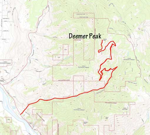
Deemer Peak drive-up via Henry Creek. GPX DL
The uppermost 1 km of the road was deactivated but not overgrown for hiking. The crux for us was hearing some weird sounds in the woods (downhill side) after leaving the car for about 15 minutes, that indicated some large animals. We never saw what’s actually there. There was one short undefined section of the road that required some mental work, but soon we were back to the road/trail. For the last 50 vertical meters we abandoned the road and hiked through open forest with some dead falls. The summit was farther back than I thought with a few false rises in between, and we were also surprised to find a register that not to our surprise, showed really well of “who is who” in this prominence peak-bagging community.
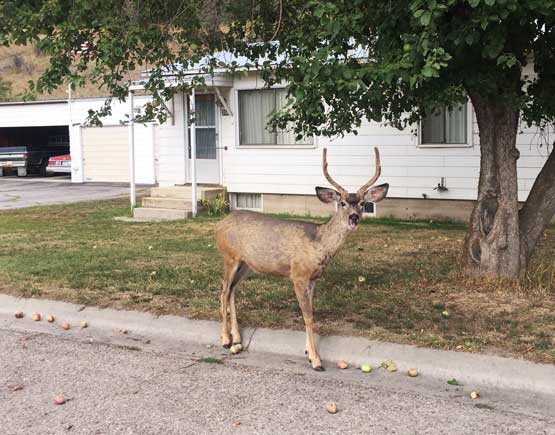
A buck along Highway 200 in the town of Plains
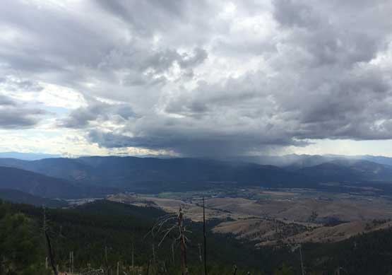
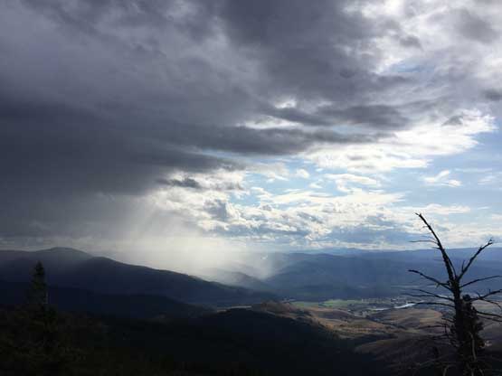
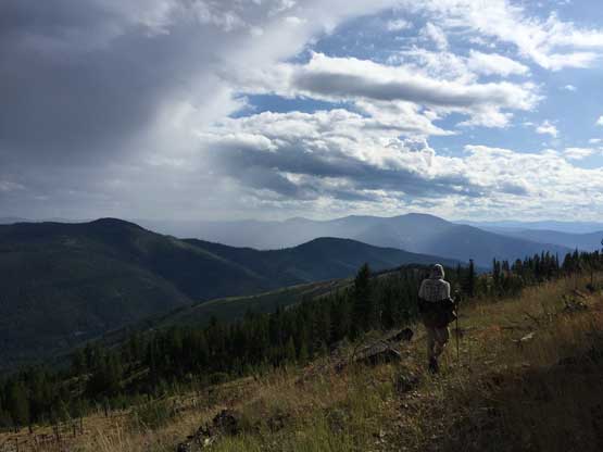
Already at the upper parking lot, looking at a storm to the south
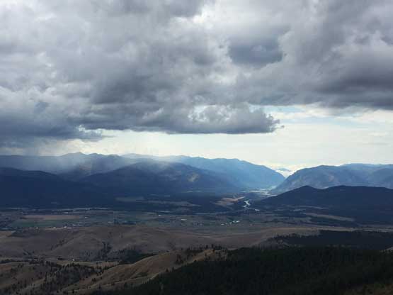
This is looking west through Highway 200 corridor
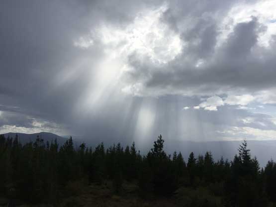
The storm to the south was rapidly approaching, but missed up somehow
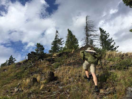
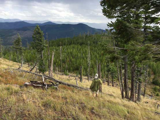
Adam marching up the off-trail section as fast as possible

Walking lame ground towards the true summit
The sky was still very stormy to the east. If you look closely you can see a rainbow
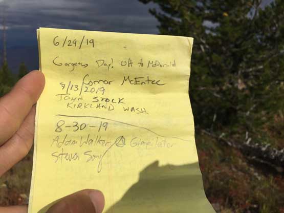
Signing the register. Previous entries are Connor M. and John S. both in this year

Me on the summit of Deemer Peak
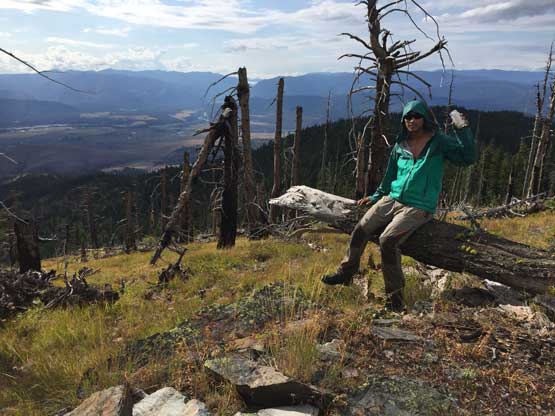
Another photo of me on the lame summit of Deemer Peak holding the register
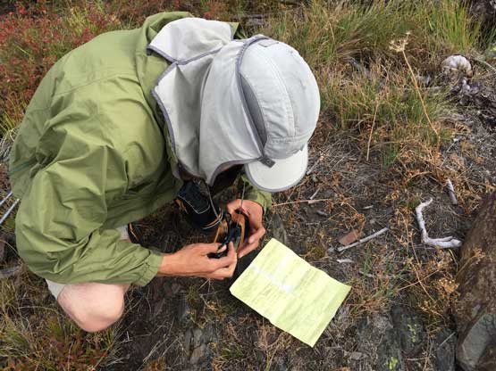
Adam taking some pictures of the names in this register. Even Bob Packard was here…
Given the unstable weather we soon went down following the same route and in short time we were back to the parking lot. We took another long break for food and resupplies before driving down the roads.
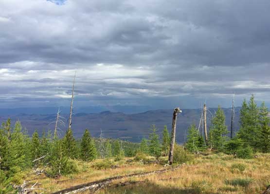
Another threatening, but beautiful storm passing by
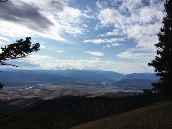
This is another view looking down at the plains by the town of Plains
Adam hiking down open slopes
More about the descent.
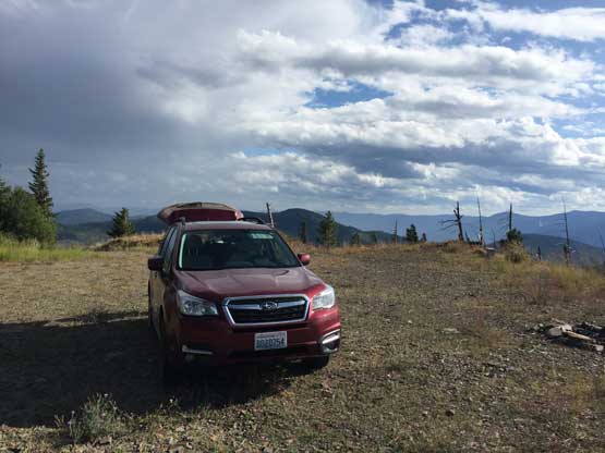
Adam’s Subaru never led us down.
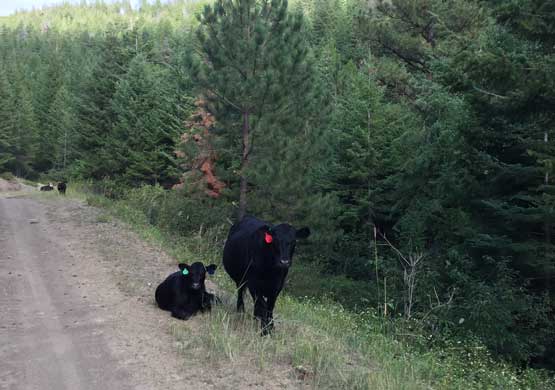
Black cows everywhere in Montana…
The original plan was to explore the roads on the nearby Henry Peak but checking the maps we increased our ambition to bag another P2K a little out of the ways – Sonyok Mountain to the south-east.
