Longspur Peak
April 15, 2022
2575m
Pemberton Icecap, BC
Longspur Peak is the highest peak on the main parts of Pemberton Icecap towered only by Overseer Mountain group on the far northern extension. This is also the second most prominent peak on the icefield with over 600 m prominence. When Eric and I decided to snowmobile onto the icecap the primary objective was Longspur Peak, but we planned 2 days up there so we would end up getting a few other peaks as well. The primary objective had shifted to “Torah Peak” during the trip as that one is even more remote and significantly harder to get to. Longspur Peak, on the other hand, was a mere 2-hour detour from the spot where we parked the snowmobile.

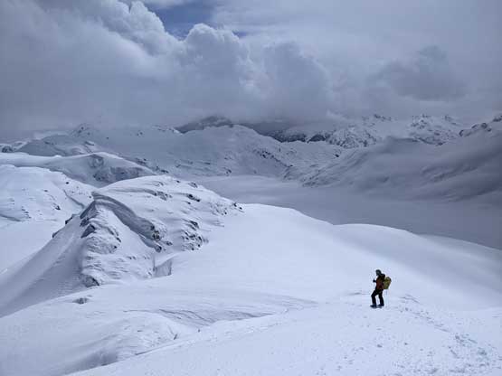
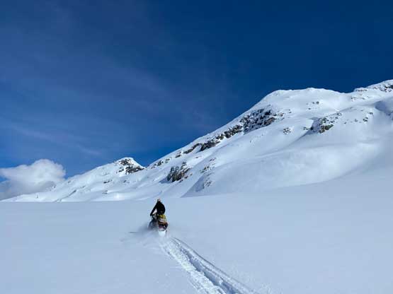
Earlier in the morning we had sledded all the way in from Rutherford FSR onto Appa Glacier and bagged “Appa Peak“. We got back onto Eric’s snowmobile and drove up and over a broad pass on the west side of “Appa Peak” which is a key passage for the sleds to get onto the main parts of the icefield. The more commonly used route for Longspur Peak is the east slopes accessed from the south-east side, but to sled onto that hanging glacier appeared challenging especially for the two of us on one sled. Eric didn’t want to risk flipping the snowmobile so we parked, but then I went back to the maps and told Eric that we should continue sledding a few more kilometers to the west and park under Longspur Peak’s SW Face. This route would be overall steeper, but significantly shorter.


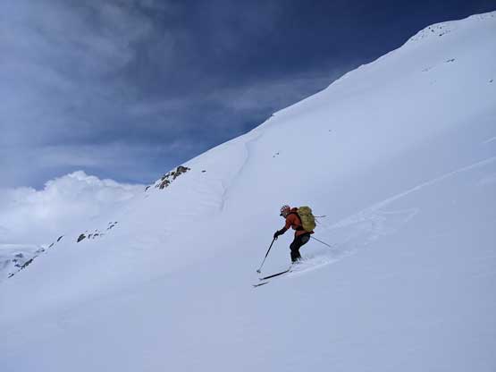
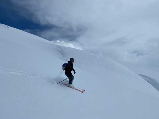
We only had a bit over 1 km distance and 500 m elevation gain to the summit but it felt a lot more than that. The steepest part was actually near the bottom where we must skin up a steep chute/slope with the steepest section over 35 degrees. This surely put my skinning skills in test as I only had one ski pole. A few tight switchbacks and long traverses solved the problem. We then aimed directly towards the col between the true summit and the eastern sub-summit for a long while until not far below that col.


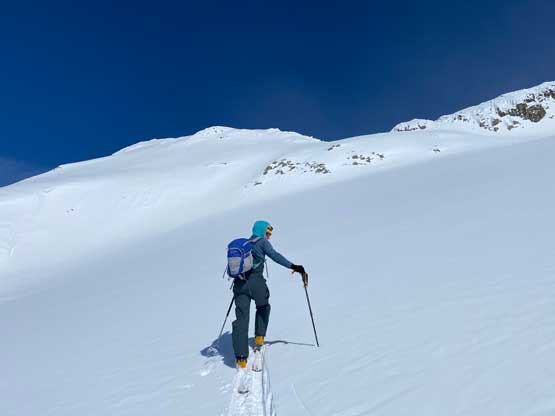
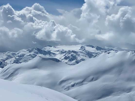
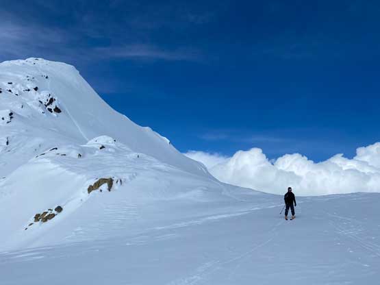
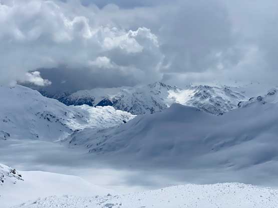
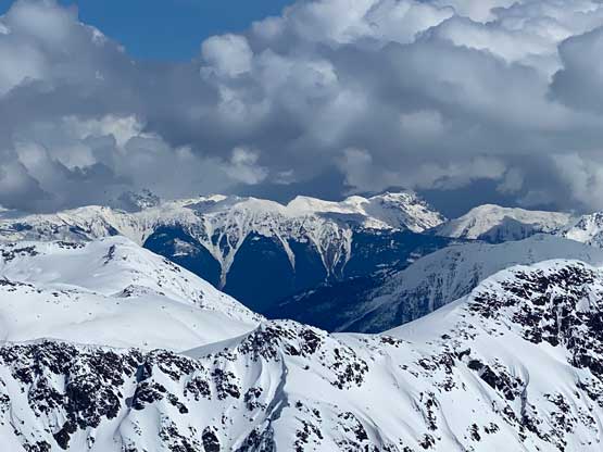
The eastern sub-summit actually had the name labelled on the maps but based on previous trip reports we knew the western peak is the true summit. We could have just gained the col and scrambled the west ridge but that would involve some rime-covered rocks. We checked the maps more thoroughly and opted to contour to the far east side of the true summit. The final 50 m elevation gain required some steep boot-packing but at least it’s entirely on snow. There were lots of clouds building up so the views weren’t as great as we were hoping for, but that’s fine.


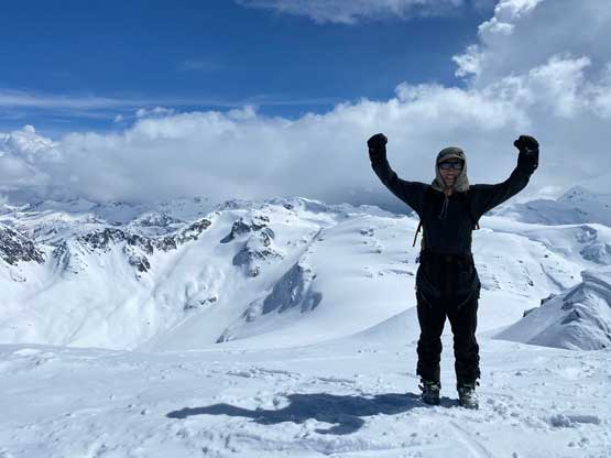

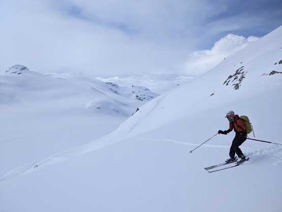
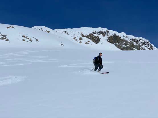
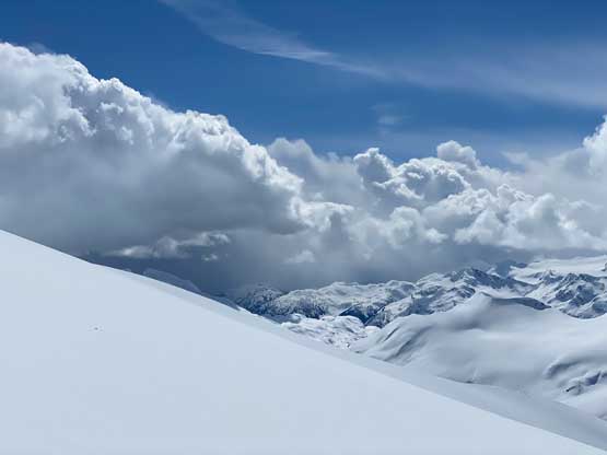
It appeared that some weather system was rapidly closing in, so we rushed back to the ditched skis as none of us, especially me, wanted to ski down this 500-m slope in a white-out. The skiing was mostly easy and fun as the snow conditions were excellent. I even managed to link up some turns down that 35-40 degrees stretch that even myself was surprised. The weather had almost turned flat-light by the time we skied down to the snowmobile. Eric wanted to just park the sled at this spot as the fuel gauge was still showing only 50%, but I convinced him to sled a few more kilometers and park closer to “Famine Peak“, our next objective.