Clark Mountain (CA)
January 8, 2022
2410m
Mountain Pass / I-15 Corridor, CA
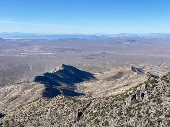
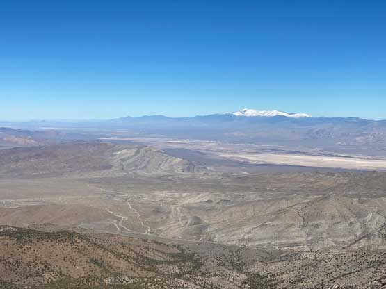
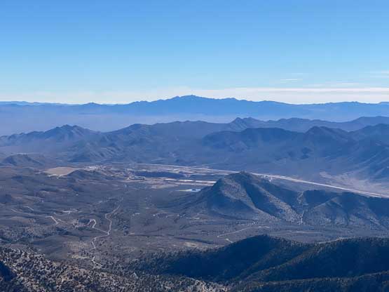
Clark Mountain is a bulk massif that looms above Mountain Pass and I-15 about halfway between Las Vegas, NV and Baker, CA. This is one of the bigger peaks in the general area with over 1200 m prominence. The ascent used to be a tricky one via the east ridge but a better and simpler route had been published in the recent years via the south side ridge system. This new route should be nothing harder than “class 2” if one’s careful about route-finding. The access requires a high clearance vehicle but the road is nowhere as bad as some other dirt roads in the desert states.
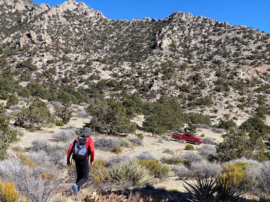
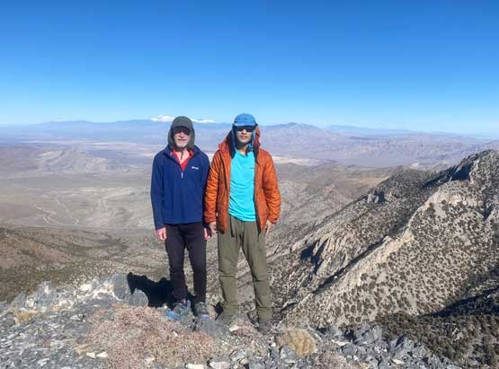
This was the last peak that Rob and I climbed together in this past New Year peak-bagging trip. We drove to Mountain Pass in our respective vehicles as we would go opposite directions after this ascent. Earlier in the morning I drove back into downtown Las Vegas for a PCR COVID test since that was required to cross the border back into Canada a few days later. The PCR test was rather simple, but costed 150 USD. Rob and I grouped at the start of the dirt roads at around 8:40 am. The driving direction was rather confusing as the correct road was not shown on the Gaia map. I however, had downloaded a driving GPX track from peakbagger.com as well as the satellite images for navigation. A gate presented itself near a mining site but the gate was not locked. After driving into the gate we made sure to close it before proceeding. Rob opted to park his rental Rav4 in front of a steeper hill and squeezed into my Taco. Driving to the highest possible parking spot was actually quite easy in my Tacoma but I had to take my time.

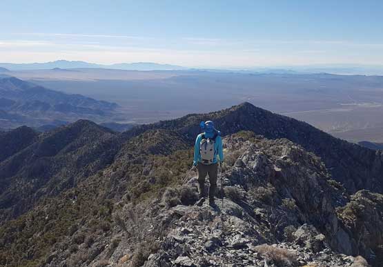
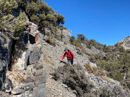
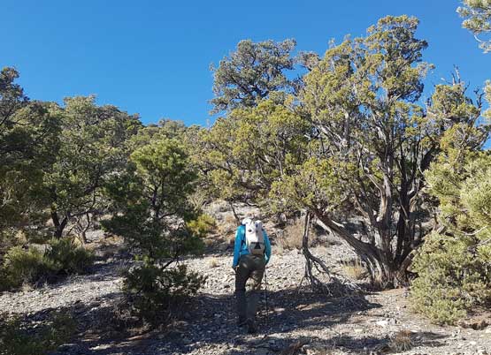
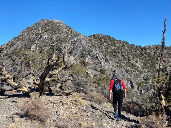
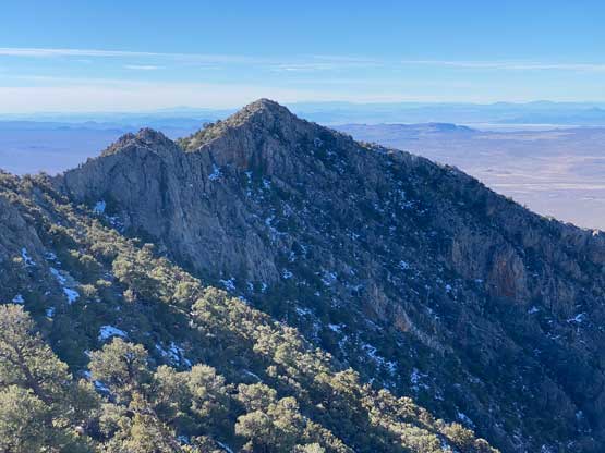
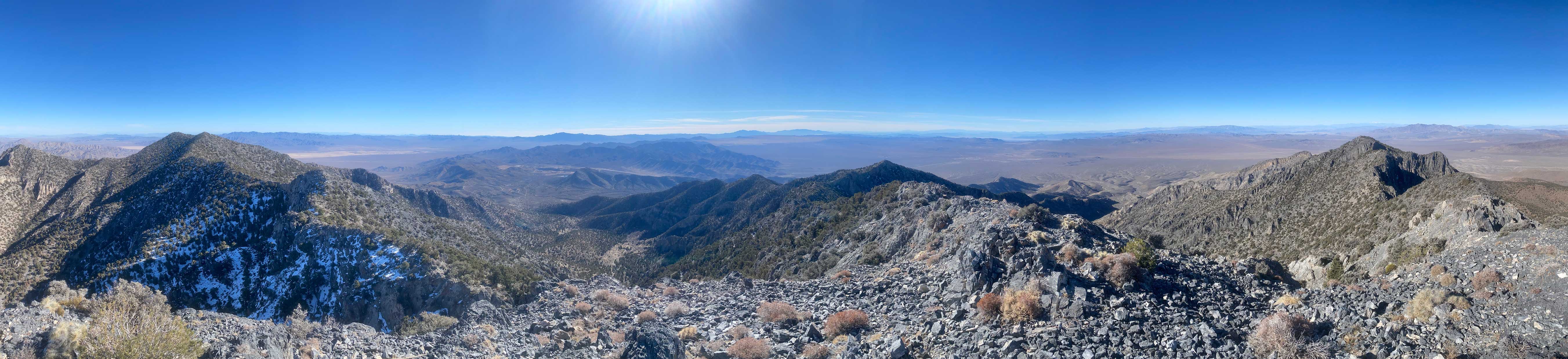
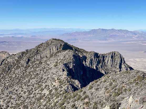
There were multiple ways to get this scramble started. We parked a little closer than the reference GPX track. We ascended a short but steep section on mostly loose rocks to hop onto the SE Ridge system and followed the ridge westwards towards the first high point, which we bypassed by traversing the north side slopes. This first stage of the ascent was actually the steepest and the least pleasant. Once getting onto the proper south ridge the view opened up and the terrain was no longer steep and unrelenting. Staying on the ridge crest sometimes involved scrambling over pinnacles and towers so we mostly traversed on the sides following some well-trodden foot paths.


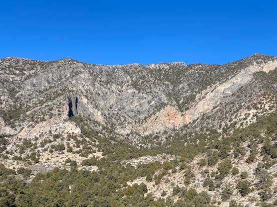
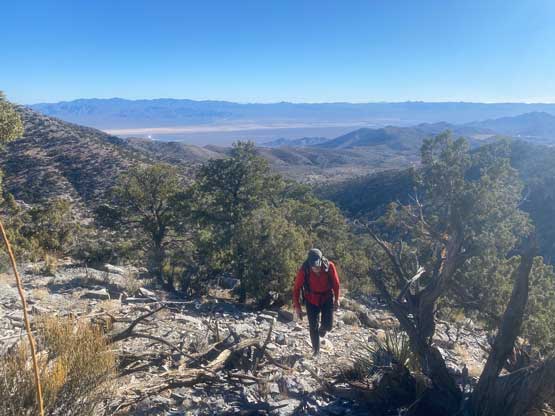
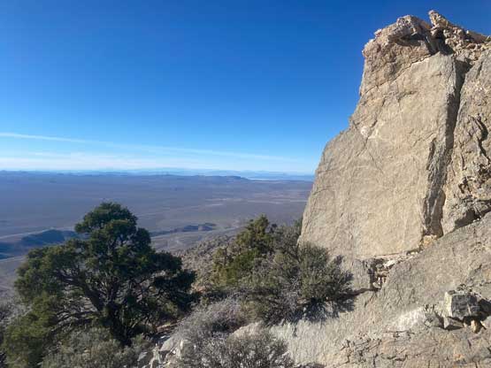
Higher up at 2300 m we bypassed another subsidiary bump on climber’s right side side-hilling on loose scree, and that brought us to the upper south ridge. We picked up more paths and tracks traversing on either side of the ridge crest and the summit was easily attained. We did encounter some class 3 steps but I’m sure most of them could be avoided had we looked for a bypass.


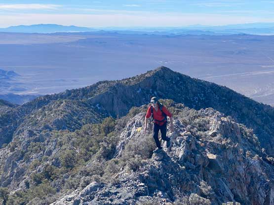
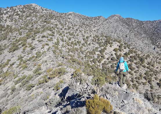
On the descent we started by staying more on the ridge crest and immediately got into some exposed class 3 terrain. We then bailed off the sides and just picked up the foot paths. I checked the GPS many times to make sure we retraced the exact route we took on the ascent, as that seemed like the most most efficient path. The descent was overall uneventful. We got back to the truck at noon which meant we had enough time for a secondary objective in the afternoon. Rob would drive back up north for Potosi Mountain while I would continue southwards for Ord Mountain.