Dog Mountain (Seymour)
November 24, 2015
1054m
North Shore Mountains, BC
Dog Mountain is the lowest among the forest summits accessible from the Mt. Seymour Parkway. A mere 2.2 km of a well maintained and low-grade trail brings hikers to the summit that’s barely higher in elevation than the parking lot. This is also the most popular “objective” in the Mt. Seymour area (even in winter time) and I’ve seen comments comparing the hordes of people on Dog Mountain Trail to the traffics on Highway 1… Mmm.. That means something… To avoid getting stuck in the “traffic” I figured a late afternoon/evening hike on a weekday (Tuesday) in late November should do the job. The conclusion? I still met at least 20 people along the trail. But that’s OK…

Dinkey Peak to Dog Mountain hiking route. GPX DL
After finishing an ascent of the nearby Dinkey Peak I joined the main Dog Mountain Trail at “First Lake”. Right after the lake I got to practice passing a large group of hikers (at least 10 people) and I have to say it’s not that easy especially since the trail was not very wide. The trail winds its way around the hillside with some minor up-and-downs but nothing major in terms of elevation gain. In about 20 minutes or so I arrived at the “summit”. Despite its official status this is more of a “lookout” than a “mountain”. But oh well…
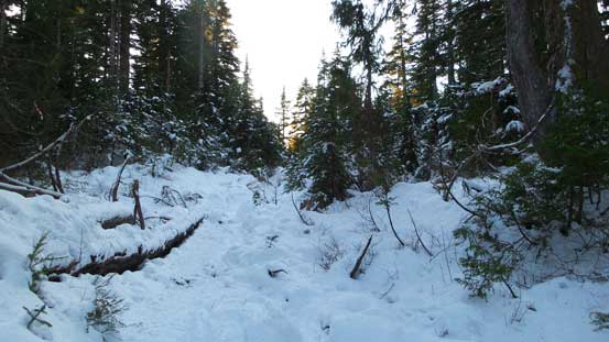
Hiking along the Dog Mountain Trail
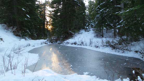
Passing a frozen pond

Sections of this trail was slippery
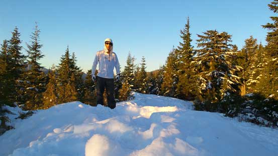
Me on the summit of Dog Mountain
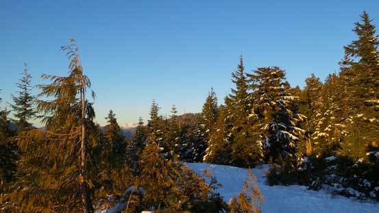
A view from the summit…
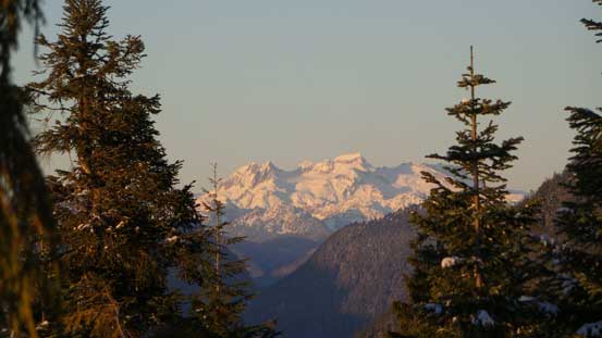
Surprisingly I could see Mamquam Mountain

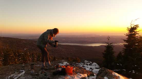
Getting ready for the sunset!!
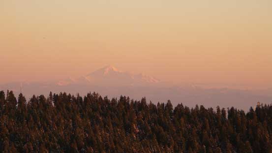
Mt. Baker on the horizon
Another group was smart to bring stove for some hot drinks!
I made there about 15 minutes before sunset which was perfect. That large group arrived shortly after and two or three more (smaller) groups joined on the summit just before sunset. I stayed about 1 hour longer after sunset as I wanted to play with my tripod and see how my “cell phone camera” can do in low lights photography. It turned out way better than my expectation. Another reason to stay longer was to avoid the horrible rush-hour traffic..

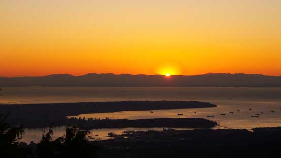
Sunset time!

A wider angle of the sunset
The last bit of the sun rays
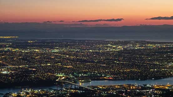
Dusk over the city of Vancouver

This is the bridge that Highway 1 crosses from Vancouver to North Vancouver
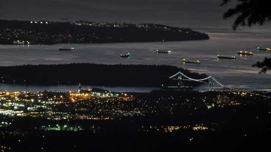
That bridge is the famous Lions Gate Bridge (at least 1 hour traffic delay in the ‘wrong’ time)

Looking towards Lion’s Gate, Stanley Park and UBC

Vancouver in early evening. Most of the lights are on already
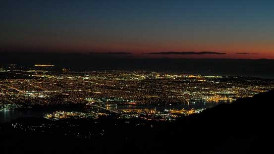
Almost completely dark. Time to head home
I eventually decided to hike down after it’s almost entirely dark. Everyone else had already gone down at this point. Headlamps out and half an hour later I made back to the parking lot and that concluded a great half-day outing. I have to say that Dog Mountain is a great vantage point for sunset/dusk or even night scene. Adding Dinkey Peak to make a loop will give you some extra work-out but nothing more in terms of the views.
