Mastodon Peak
March 22, 2017
1027m
Joshua Trees National Park, CA
Due to a spontaneous decision to drive back home via California instead of Utah I was really scrambling to find some suitable objectives for the last couple days of this spring break peak-bagging vacation. I would be driving westwards down I-10 from Phoenix to Los Angeles so the first “point-of-interest” that caught my attention was Joshua Trees National Park since it’s right beside the highway. A quick browsing of the topographic maps using my iPhone I instantly locked my first objective on Mastodon Peak – a short but fun rocky summit in the southern part of this park. The access is by a well-maintained loop trail and the summit can be gained by some fun hands-on scrambling.

Mastodon Peak hiking loop. GPX DL
The trail-head is at Cottonwood Springs which isn’t far from Cottonwood Visitor Center. There’s no cell phone signal once I entered the park so I spent a couple minutes obtaining a park map in the visitor center and then off I drove to the trail-head. I opted to do this loop in a counterclockwise direction and after about a mile down the main trail I branched off up the Mastodon Peak loop trail.
A view from the park’s entrance

Palm trees at the start of this trail
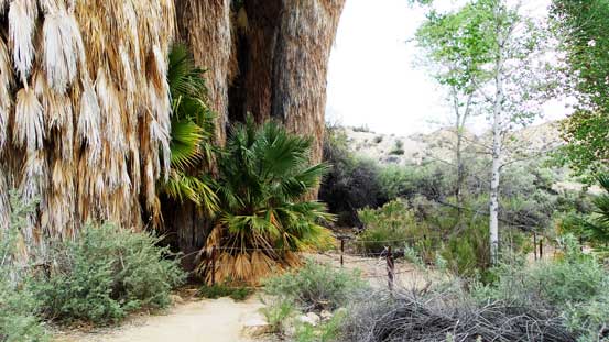
Another view from the palm trees area

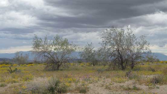
As much as the typical views go in this region
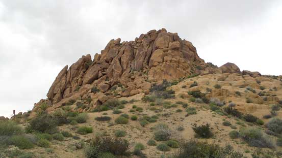
The summit of Mastodon Peak requires some scrambling and at first glance it seemed fairly tricky. For obvious reason I didn’t come prepared with a route description so just followed my own interpretation. I went around the south-east side and then used a couple ledges to gain the summit. The true summit is on a big boulder and requires a couple moves, although nothing too difficult. Two other hikers showed up and decided to follow my path to the summit.
This is the summit block of Mastodon Peak.
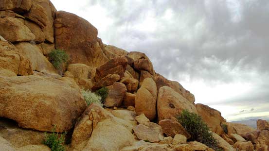
The typical scrambling
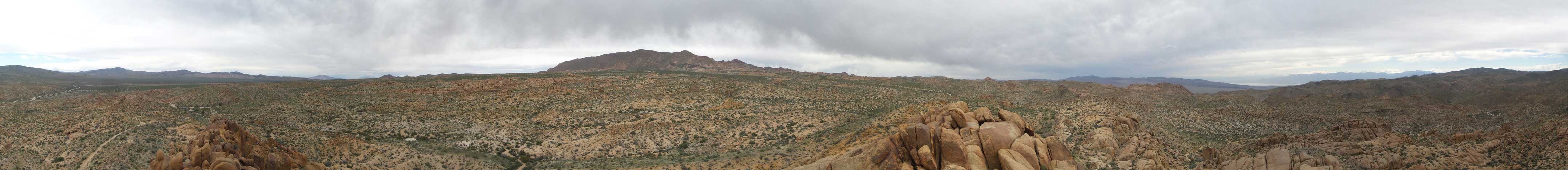
Summit Panorama from Mastodon Peak. Click to view large size.

Zooming-in towards Salton Sea to the south
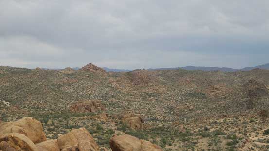
The typical terrain in southern Joshua Trees Park
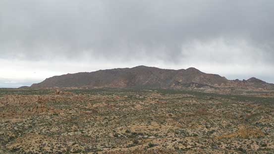
Eagle Mountains to the east
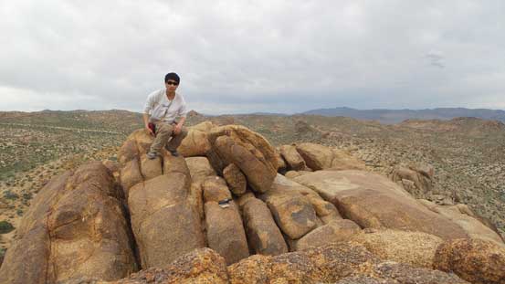
Me on the summit of Mastodon Peak

Another picture of me on the summit. This is standing on the true summit.
Thank to the overcast weather and the fact I still wanted to do another hike I didn’t linger too long. After reversing the scrambling section I picked up the other side of this loop trail. The return brought me into a couple dry washes and is slightly longer than the approach route, but did provide some variations.

A view while descending the summit block
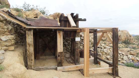
The alternative return passes by this mine site
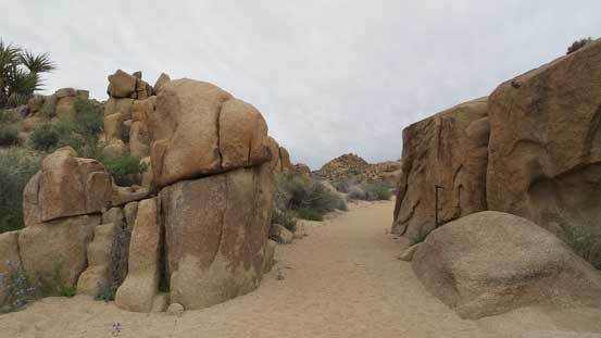
Walking through one of the few dry washes.
My next objective was Ryan Mountain on the other side of Joshua Trees National Park and I certainly didn’t have too much extra time to kill, so not doing much lingering I soon started the drive northwards. The sky was clearing up which definitely boosted my motivation too. Regarding the peak I just did, I don’t think I’ll highly recommend but if you have a couple hours to kill then it’s one option to consider. The north side of this park is much more scenic.
