Mount Cook
October 24, 2015
2676m
Garibaldi Provincial Park / Whistler, BC
With a mere 66-meter prominence one would argue that Mt. Cook is rather just an extension of the long NW Ridge of Mt. Weart. But on the other hand, this is the easiest peak by Wedgemount Lake area and offers a perfect introductory to newbie scramblers with some of the most incredible views of Garibaldi Park’s high country. For hardcore peak-baggers like myself, there’re a few ways to make Mt. Cook a worthy objective. I’ve heard awesome stories about the 4th-class Cook to Weart traverse, but given the fresh snow on northern aspects I’d expect this route being out of shape for the rest of this season. I’ve also heard skiers accessing Mt. Moe by traversing up and over the summit of Mt. Cook, and that’s the exact route I had in mind. The difference would be me traversing on foot rather than on skis. Earlier in this trip I’ve already bagged Mt. Weart by the standard SE Ridge, and this was the second day.

Mt. Weart, Mt. Cook and Mt. Moe from Wedgemount Lake. GPX DL
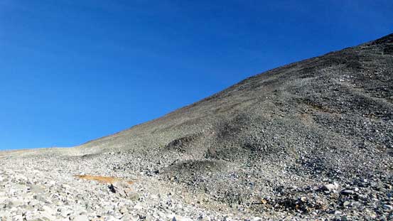
I got lazy in the morning and slept in till almost 8:30 am. The morning wasn’t as cold as I was expecting and I took my time preparing some hot breakfast. I didn’t bring any route description with me but I did remember there’s an (unofficial) trail heading up Mt. Cook from near the shelter. Indeed once I hiked back up the bump by that shelter I found a few cairns and a path so headed up from there. The ascent to the false summit can be divided into 3 sections. The first section was from the shelter to the “bench” – basically going straight up following the path. The grass was icy and slippery at places. The second section was a rising traverse along that bench way over to the climber’s left. There’s no longer a path to follow now but the abundance cairns kept me on track. The last, and the most tedious section was a long pile of loose rubble – it was not pleasant no matter what line I chose…

The typical slog up the lower slopes of Mt. Cook

Looking back towards Rethel Mountain and Wedgemount Lake

Looking down my approach valley. Rainbow Mountain at center
The upper slopes of Mt. Cook
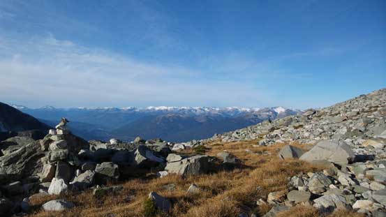
On the flat bench
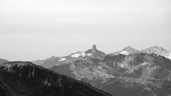
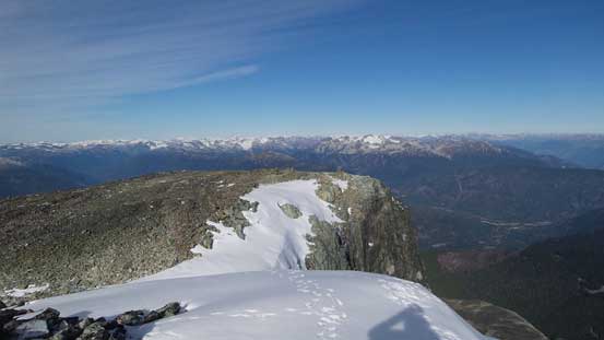
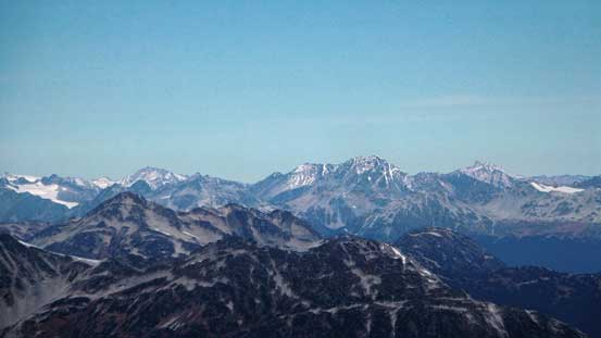
The Black Tusk is surely an icon of this region

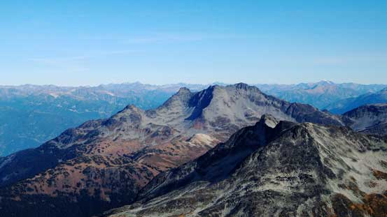
Mt. Tantalus catches one’s eye from every good vantage point

Ipsoot Mountain
Rainbow Mountain in the foreground
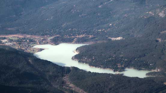
Green Lake
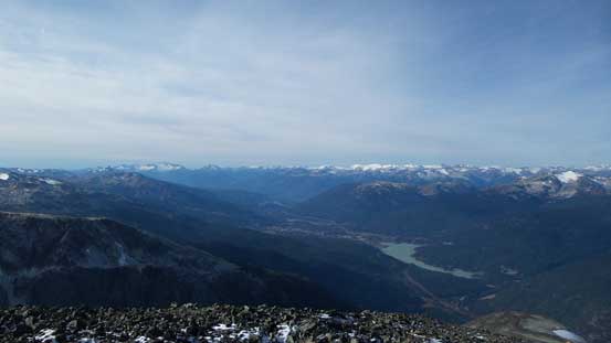
Looking down the Sea-to-Sky Valley. Whistler at center foreground
Mt. Currie that I ascended last month
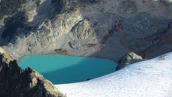
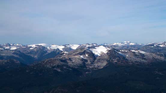
One of the few glacial lakes north of Mt. Cook
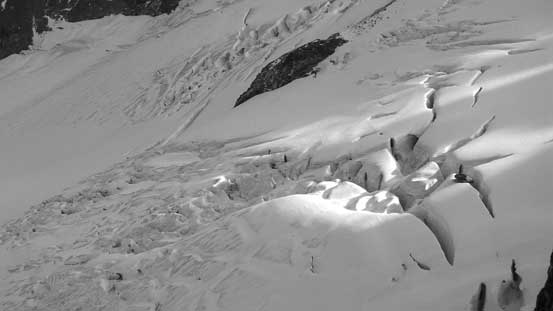
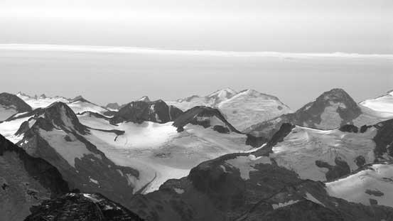
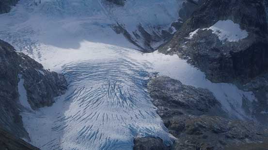
Crevasses on the North Glacier
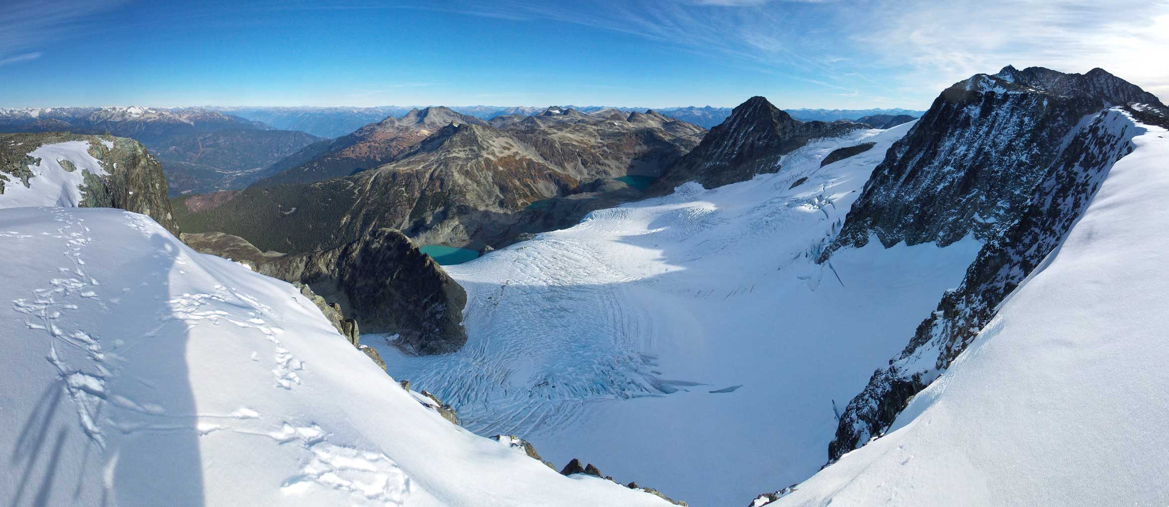
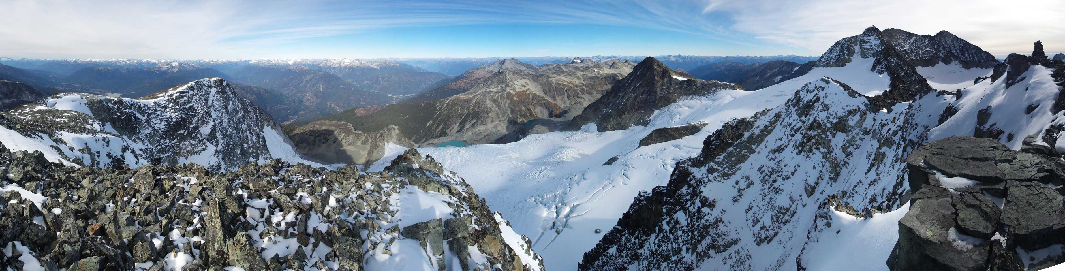
Panorama from the false summit. Click to view large size.
The traverse to the true summit was longer than I thought, and the terrain was again, boulders and rubble making somewhat tedious process. Initially I had to lose some elevation down to a broad saddle, then up the other side for a while I got to see a notch. There’s supposed to have a bypass somewhere but I was too lazy to figure it out so scrambled down and out of the notch. Shortly after that I was on the true summit.
Looking back towards the first false summit

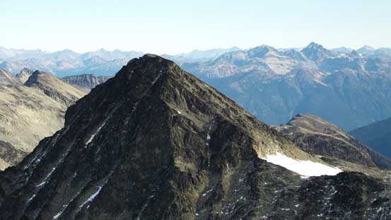
The true summit ahead
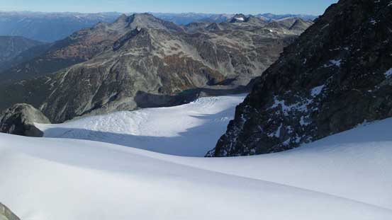
Another view of the North Glacier

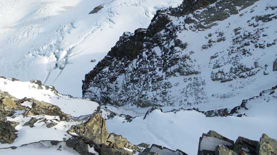
This is that notch

Looking back from the opposite side of this notch. Note the huge ‘schrund

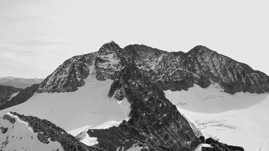
The N. Face of the false summit is quite steep!

Summit Panorama from Mt. Cook. Click to view large size.
Mt. Moe will be my next objective
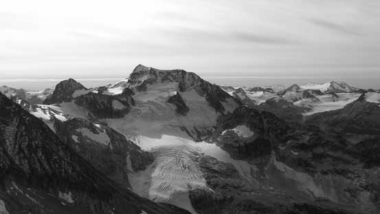
The mighty Wedge Mountain
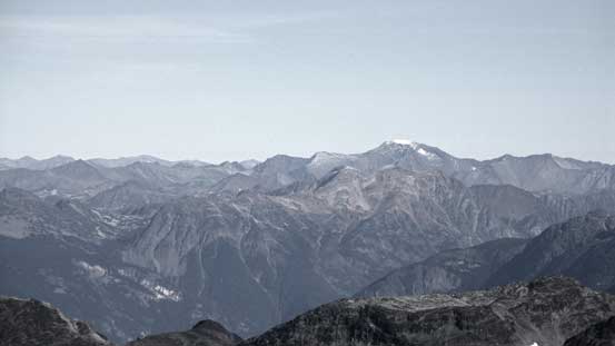
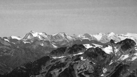
Manatee Peak et al. way in the distance behind Pemberton Icefield
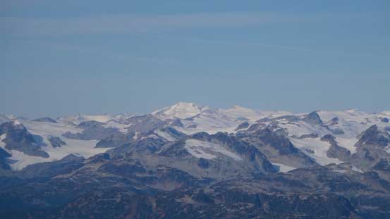
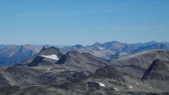
This broad glaciated summit in the back is Elaho Mountain by Clendinning Park

Ashlu Mountain is that pointy peak

Familiar giants in the Garibaldi park – Castle Towers and Mt. Garibaldi.
Isosceles and Parapet Peaks behind Spearhead Range
The bulky mass of Mt. Weart

Slalok Mountain (L) and Mt. Matier (R) by Joffre Group
Hibachi Ridge left of center in the foreground

Mt. Currie
Whitecap Mountain looms behind the triple summits of Birkenhead Peak
Mt. Sampson is another huge one
Overseer Mountain on left skyline
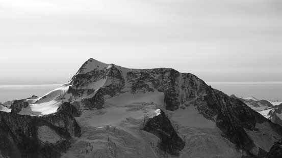
A closer look at Wedge Mountain and its NE Arete
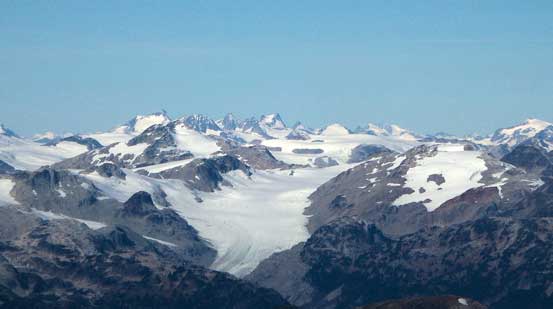
Wedgemount Glacier

Lesser Wedge Mountain
The very steep N. Face of Mt. Cook
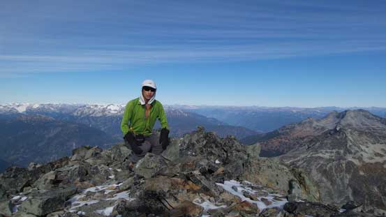
Me on the summit of Mt. Cook
Another panorama from the summit. Click to view large size.
The view was great towards all directions but I could also see a layer of high clouds moving in from the south. My next objective, Mt. Moe, did not look close from this vantage point and I had to press on.
