Ranger Peak
March 17, 2017
1717m
El Paso, TX
Immediately north of the downtown El Paso in the far western reach of Texas locates the Franklin Mountains and Ranger Peak is one of the lower summits in this range. This peak is more famous for its Wyler Aerial Tramway which is the only public accessible tramway in the state of Texas. The summit offers some unparalleled views of the nearby urban areas and that includes the cities of El Paso, TX and Juarez, Mexico. I was very low on energy and motivation after completing a traverse of Guadalupe Peak to El Capitan but the weather was good and there were still a couple hours till sunset. The tramway only costs 8 dollars per individual so I’d be lazy on this.
Ranger Peak via Wyler Aerial Tramway
The city of El Paso sits right on the Mexican border and has one of the largest military bases in the United States. It’s not a small city but never seems to get busy even in the evening rush hour, nor does it see many tourists. I followed the instructions in my iPhone and got to the base of the tramway. The last mile or so was steep but paved. To my surprise the line up was quite long and I ended up having to wait 40 minutes for my ride. I thought others were tourists but in fact, most were locals and some just came from the military base and it’s pretty interesting to chat with a few of them. Nobody was expecting someone would drive down from Canada though..
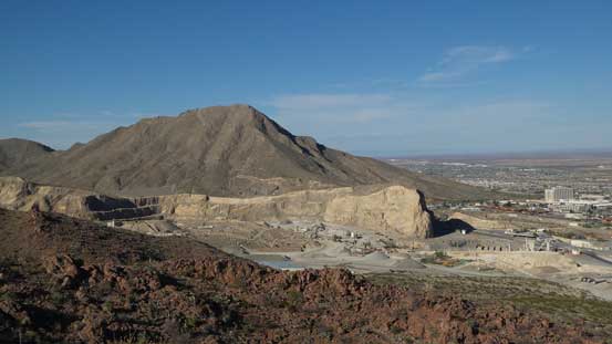
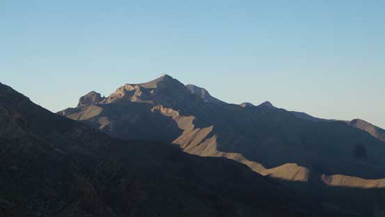
A look at Sugarloaf Mountain with a substantial quarry in front
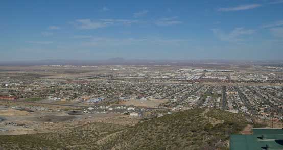
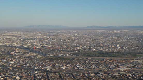
A view of El Paso from the parking lot.
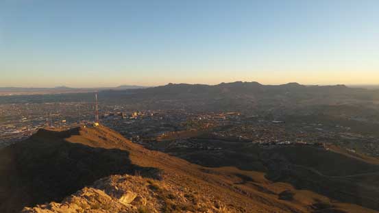
The ride to the top only took 4 minutes with about 300 m elevation gain. Ironically with the time in that line up I could have hiked to the top already but on a 18-day peak-bagging road trip it’s pretty important to not exhaust myself so I was happy about this tramway decision. The next 40 minutes or so was spent on the summit waiting till sunset and I have to say the view was well worth the spent.
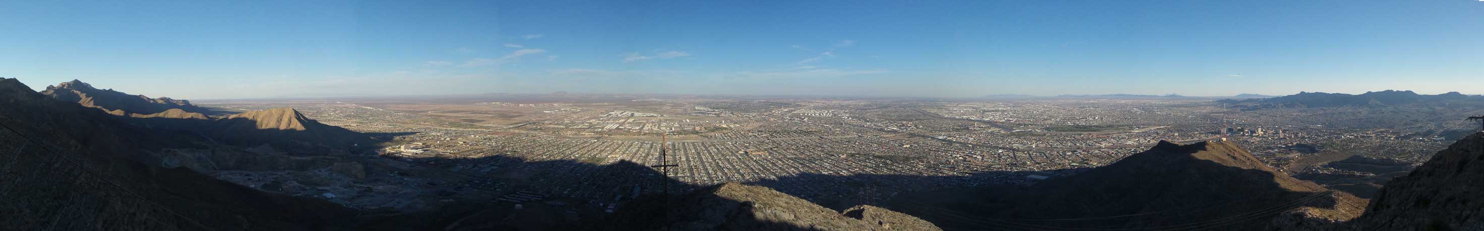
Summit Panorama from Ranger Peak. Click to view large size.
South Franklin Mountain

Looking over across the summit of Sugarloaf Mountain

Me on the summit of Ranger Peak
A look at city of Juarez in Mexico

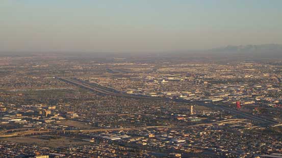
The north-east El Paso which is supposed to be a huge military base
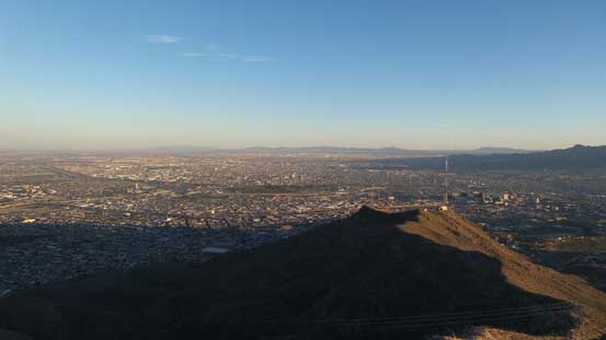
Comanche Peak in foreground with cities of El Paso and Juarez behind.
If you look closely you can see the very obvious international border
More about looking south into Mexico. One of the peaks behind is Cerro Bola

The last beams on sunlight shone in the cities

There are some taller peaks in Mexico but I’m not sure their names.

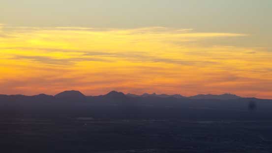
The dusk horizon.
Cox Peak et al. in the state of New Mexico

It’s sunset time, over the New Mexican horizon.
Once the sun had gone down I joined the hordes and took the downloading ride back to the parking lot. I was hoping to have a well-served Mexican dinner but to my surprise the restaurant was closed, so I just randomly picked a burger restaurant which was nice nonetheless. The rest of the evening was spent in the city of El Paso but there’s literally nothing to explore so after some obligatory stops in Albertson and then McDonalds I went out, found a “dark spot” and slept in my car. It wasn’t easy to fall asleep though as it was pretty hot even at night.
