Humphreys Peak
March 13, 2017
3851m
Flagstaff, AZ
Humphreys Peak is well known as the state highest point for Arizona and although not much of a feat as a mountaineering challenge, this is the 26th most prominent peak in the “Lower 48” and at elevation above 3800 m it’s also the second highest peak I’ve ascended to date. It’s taller than anything in the SW Canada other than Mt. Waddington and Mt. Robson so was it a worthwhile objective? Oh definitely yes… This peak can easily be climbed at any time of a year – in summer via a well-beaten trail (endless switchbacks) while in winter it’s a straightforward plod up the “Dutchman and the West Ridge“. For those of you curious what to expect as a summer ascent, it’s pretty much similar as a hike up Mt. Fairview nearby Lake Louise, AB if you know what I’m referring to.
Like I mentioned above Humphreys Peak is a worthwhile objective, but itself is not worthwhile enough to motivate driving all the way down to Arizona. I had to combine it with plenty of other peaks to make a vacation road-trip. This was the 5th day of this past spring break vacation and earlier in the morning I had just bagged the nearby Agassiz Peak. The route I took for Agassiz Peak was a direct plod underneath Arizona Snow Bowl’s chairlifts while the route I planned to descend off Humphreys Peak would also be in the resort. Of course there are logistics when you cross into a resort land but by all means those are the most “obvious” routes to me, so would be the ones I took.
Ascent route for Agassiz Peak and Humphreys Peak. GPX DL
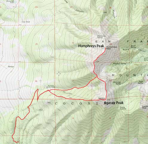
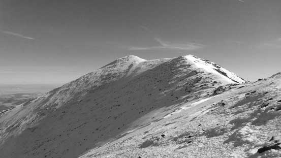
It had become apparent that I no longer needed snowshoes on this day so at somewhere near Agassiz/Humphreys col I ditched them behind a pretty “hidden” rock outcrop. The initial stretch ascending out of Agassiz/Humphreys col was the steepest on this route but even so, there’s nothing worth noting. There were plenty of tracks and footsteps and the snow was in the perfect conditions. Higher up the terrain became rockier and then the ridge did a transition from N-S orientation to NE-SW. A few minor up-and-downs soon followed and than that cold wind picked up again, but the traverse was super scenic so there’s nothing to complain about.
This is the initial stretch ascending out of the col
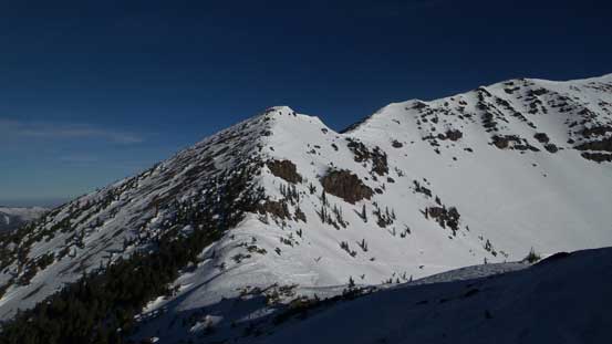
As you can see, the trail was a mix of dirt and snow
Looking back towards Agassiz Peak
The next rise

Upwards and onwards…
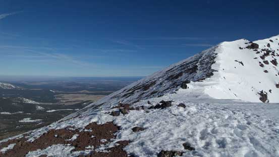
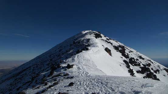
The ridge traverse was longer than I thought and the views were very foreshortening, but with persistent effort I made pretty good in time. Soon enough I was getting close and one more steep rise I was standing on the summit. After walking around to soak in the views I settled for another long break regathering some strength.
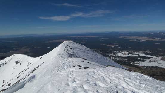
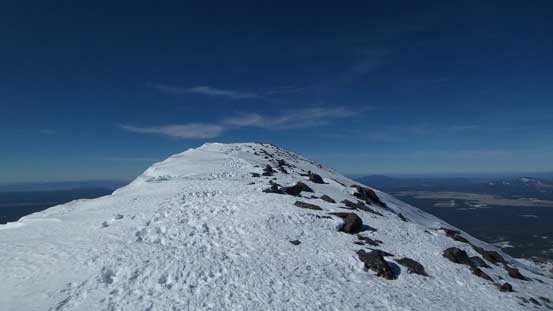
The summit is in sight now
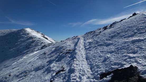
Following the trail up..

Almost there!
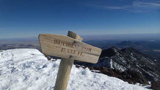
This is the official sign for the summit.

Summit Panorama from Humphreys Peak. Click to view large size.

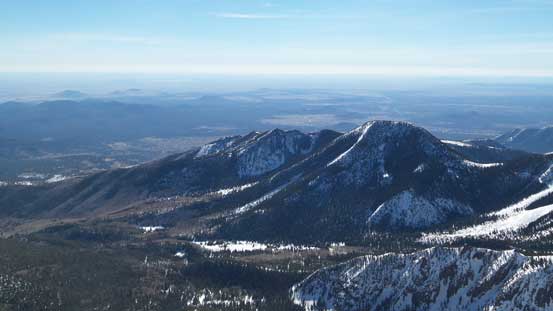
Kendrick Peak and the Coconino Plateau below

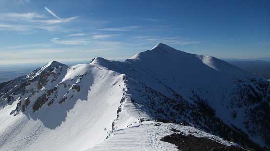
Other peaks on the NE Arm of San Francisco Peaks
Doyle Peak in foreground
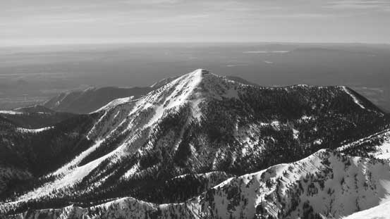
Fremont Peak is the 3rd highest in Arizona
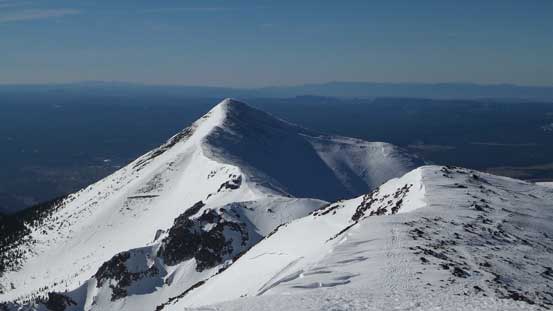
Agassiz Peak is the 2nd highest in Arizona
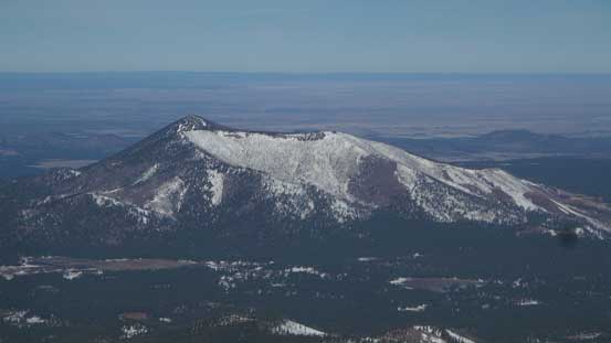
A closer look at Kendrick Peak
Other volcanic buttes looking north, with Grand Canyon North Rim on the skyline
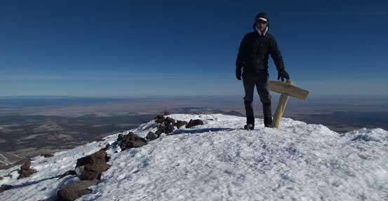
Me on the summit of Humphreys Peak, highest in Arizona
Eventually it’s the time to leave this beautiful place behind. There’s no point to linger any longer than necessary and with that wind it’s getting cold in no time. Retracing my steps down the ridge was uneventful except for the snow was getting considerably softer with that Sun mercilessly beating down. Back to Agassiz/Humphreys col I bumped into two groups of local climbers and one of which was actually doing their preparation for a Denali expedition! After realizing they are that experienced I bothered them with a lot of route beta and the conclusion I got was to forget about Kendrick Peak (due to the access issues) and focus on Sedona area for the next few days.

Time to head down.

Looking back towards the summit
Reversing the ridge traverse was nice and scenic
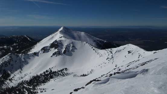
Probably my favourate picture from this peak – looking at Agassiz Peak and the crater
A bit of up-and-downs here and there
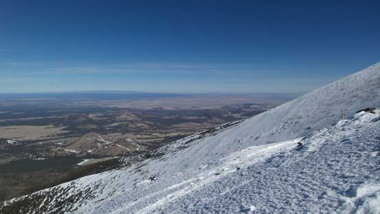
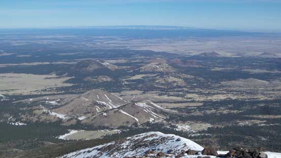
Desert view!
Back to the col now, looking into the crater.
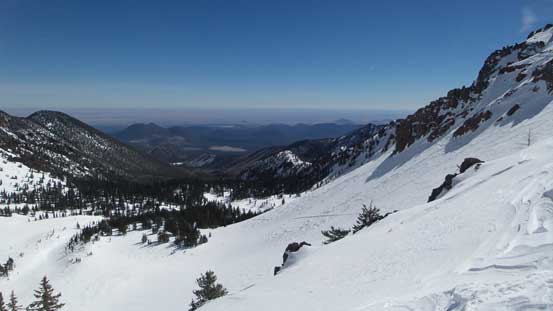
After taking another long break at the col it’s finally the time to head down. I did not bother to follow the trail nor the aforementioned “winter route”, and instead I just took a direct beeline down the drainage and into the resort runs, and then easily boot-packed back to the parking lot.
Heading down from the col

One of the few open stretches. It’s quite steep here.
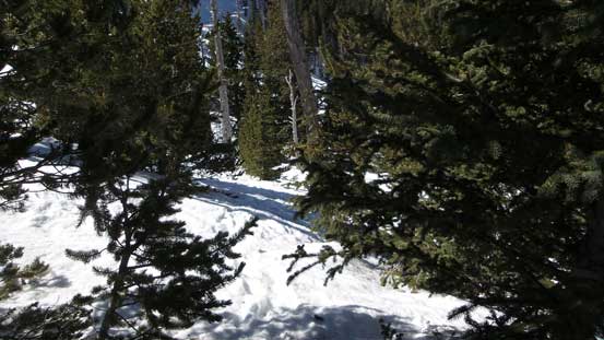
Into the forest…
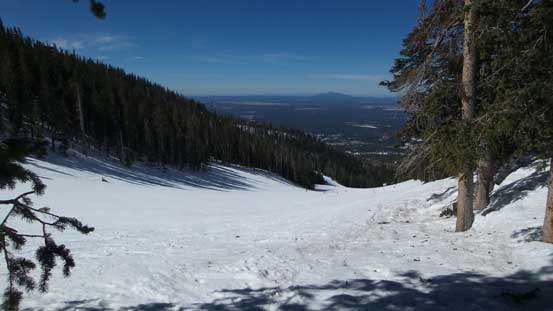
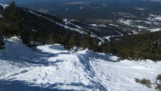
Merging onto the resort runs
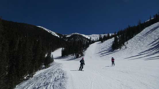
The typical resort scenery.

Done. Back to the parking lot. Time to say goodbye to Arizona Snow Bowl.
It was not even noon when I got back which meant I’d have the entire afternoon ahead of schedule. First of all I would like to find a restaurant as I figured a successful ascent of Arizona state’s highest point would earn me a “proper” lunch. After some brief searching I settled on the Olive Garden in southern Flagstaff. The lunch was very good but soon enough it’s time to say goodbye to this city and move on due south-west towards Sedona.
The drive through Oak Creek Canyon was scenic but the road construction was very annoying. The traffic in the town of Sedona was brutal and parking place was very limited. It wasn’t too bad in “West Sedona” and it was there that I found a Safeway (for food) and McDonalds (no other place beats McDonalds if you want to kill time). By about 4 pm I figured I just had to do something and a hike up Doe Mountain for sunset seemed just like the right idea.
