Spipiyus Peak
June 7, 2020
1259m
Sechelt / Sunshine Coast, BC
Spipiyus Peak is rather just a boring and forested summit but it’s also the highest in Caren Range on Sechelt Peninsula. It’s also the most prominent summit in the southern stretch of Sunshine Coast. This peak has started to draw some attention recently to peak-baggers who are into this prominence thing. The ascent can be done from the west side by linking up some powerline roads, or by driving the south side logging road to near the Spipiyus Provincial Park boundary. From the park’s boundary it’ll be just over half an hour’s hike to this boring summit.
The decision for this past Sunday changed a dozen times. The original plan was a lesser-known peak near Squamish but got switched to Sunshine Coast at the last minute due to weather. For once in a while the name “Sunshine Coast” is not a misnomer as on this day, Sechelt area held the highest chance of sunshine in the entire SW BC. I had thoroughly checked weather forecast for pretty much every single location from Vancouver Island all the way to Merritt so it wasn’t just a random decision. Vlad decided to join me. It’s obvious we wouldn’t drive all the way there for just Spipiyus Peak and our ambitious plan was to link up this prominent summit with the more-scenic Mt. Hallowell to the north. We couldn’t find much beta but the satellite images suggested it would be mostly plodding on flat logging roads.
We boarded the first ferry over to Sunshine Coast and in another hour we were driving up the increasingly rough south side logging road. I don’t know the name of this road but the lower section had some active logging, and it looked like the logging’s going to continue further as a grader was working on the upper roads. We drove past the grader. The road had no major obstacle but the crawling was slow thank to millions of pot-holes and rocks. After a long while we encountered a few deep water bars that I had to angle in a little bit and then opted to park with about 500 m to the park’s boundary. This was already better than expected.

Spipiyus Peak and Mt. Hallowell loop. GPX DL
The day was almost 100% cloudy but since we were there we had to stick to the plan. We easily walked up the logging roads past a few junctions and picked the correct spur road that led to the south side of the summit. There’s a trail running all the way to the summit and we had no problem following it, except that it’s a bit overgrown at places, and the brushes were super wet. The summit was again, 100% soaked in. We waited for half an hour with no sign of improvement so reluctantly decided to descend.

On the ferry ride from Horseshoe Bay to Langdale

At this junction we turned right for Spipiyus Peak
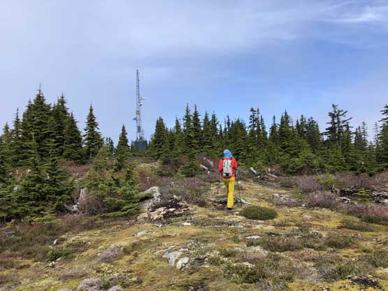
Me approaching the tower structure near the summit. Photo by Vlad M.
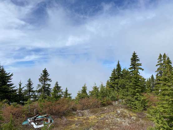
As much as the views we got from Spipiyus Peak
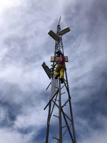
Me climbing to gain a few extra meters of prominence…

Me on the true summit of Spipiyus Peak.
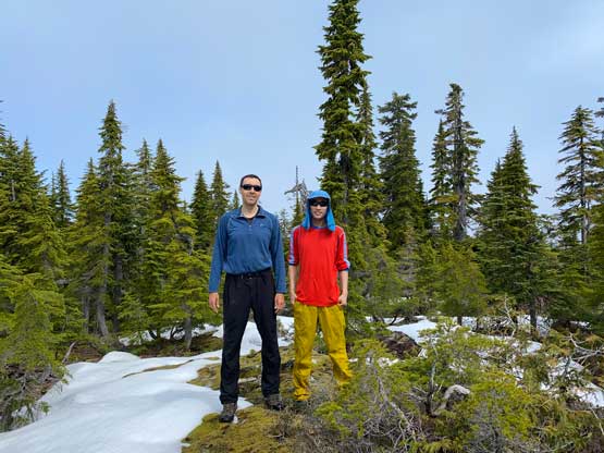
Vlad and I on the summit of Spipiyus Peak
Vlad suggested we could take a short-cut and I agreed. The bushwhack straight down the west flanks of Spipiyus Peak wasn’t fun at all especially wearing trail-runners and without gaitors. It did save us at least 1 km distance though so I probably wouldn’t complain.. Once getting back down to the road we followed the GPS plodding northwards for about 8 km towards our next objective, Mt. Hallowell.
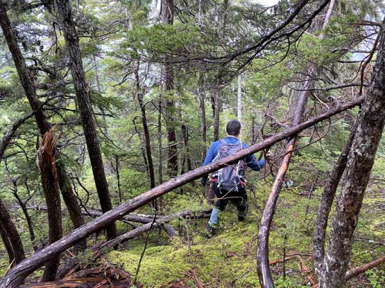
Vlad leading down the bushwhack short-cut…
The bushwhack was dense and wet at places… Not recommended…

We did get to see Lyon Lake a little bit from this descent

Me finishing the short-cut. Photo by Vlad M.

Vlad now plodding the long and boring roads northwards

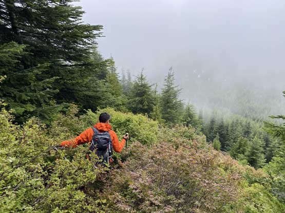
The only spot where we had some views, into Narrows Inlet
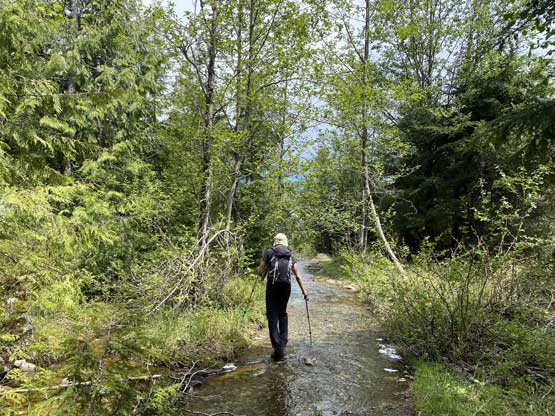
More about the road plodding towards Mt. Hallowell.
