Mount Hornecker
May 12, 2013
2271m
Kananaskis Country (South), AB
I was pretty much exhausted after the nightmare post-holing exercise on Sugarloaf Lookout in the previous day and the weather forecast wasn’t the greatest neither, but I was still keen to bag more peaks. Thankfully Raff was interested in something in Livingstone Range so that’s it. Based on the condition I just had, we wanted to avoid north facing forested slope for as much as we could (unless we wanted to bring snowshoes which neither of us was looking forward to). Eventually we decided to do Hornecker – Saddle – Livingstone loop, with the option of grabbing Windy Peak since it’s right there anyway. Getting there involves driving up Highway 532, probably the worst “highway” in the Rockies. It’s more like a rough and steep logging road.
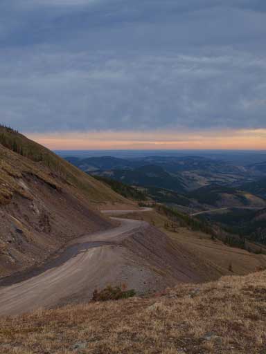
Looking down Highway 532
The first objective was the unofficially named “Mt. Hornecker” which I didn’t even know where the name got from. But it seemed like everybody was referring this little peak as “Mt. Hornecker” so I’m fine with that. There’re quite a few ways to approach it. We took the most direct line from west side and we parked shortly after the winter closure gate on Highway 940. I slept there for two nights last year on my solo visit to this area, and I still had clear memories about the wind. On this day, it was gonna be windy, but looked like the wind would be tolerable, and at least, warm.

The Livingstone 4-peak traverse route
We followed an old logging road/trail through the gap between an unnamed bump and Mount Livingstone, aiming directly towards our objective. This route does involves kilometers of travel through forest, but the good thing was, we wouldn’t gain elevation in this part, and at this low elevation, it was snow free. We did need to do a couple creek crossings which slowed us down, but overall it was better than expected. Once we made to Hornecker’s west slope, it was a pleasant hike through open forest. We only encountered knee deep snow for a short distance near treeline, and once breaking treeline, the summit was pretty close already. And then it was a hike to the top. It was indeed windy, but as predicted, it was tolerable.

The trail/old logging road was a bit marshy in this day
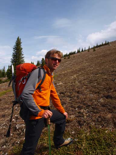
Raff breaking through treeline
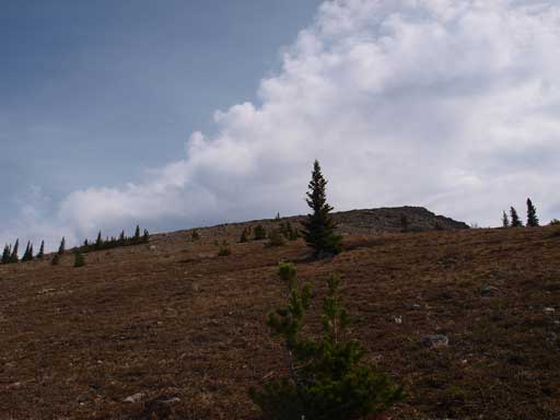
The upper slope is as easy as one can expect
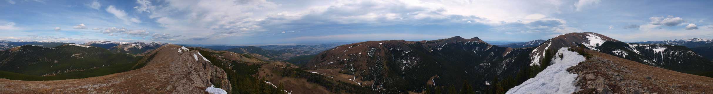
Summit Panorama. Click to view large size
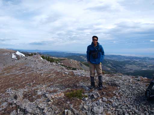
Me on the summit
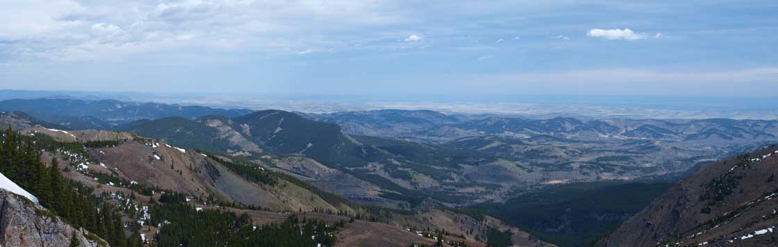
The foothills
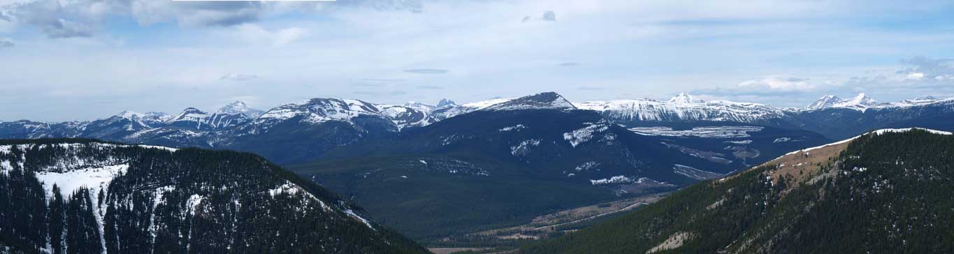
Looking towards High Rock Range. Isola Peak at center. Tornado Mountain is the high peak on left skyline.
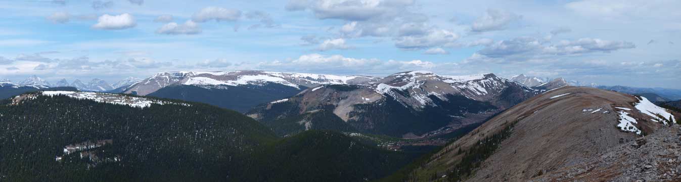
Plateau Mountain and Hailstone Butte
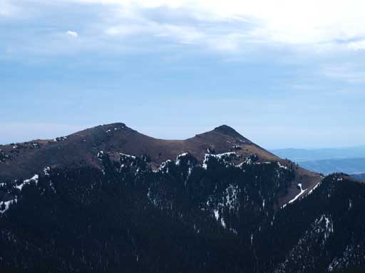
The two summits of Saddle Mountain
We didn’t stay long up there, but immediately focused on our next objective.
