Mount Ernest Ross
June 4, 2014
2454m
David Thompson Country, AB
With a short weather window returning in the middle of this week, I decided to take advantage of it and scramble up a peak. On the way back home from Cirrus Mountain the previous weekend, I noticed many David Thompson scrambles were free of snow already. Some of them are ideal early or late season objectives, and Mt. Ernest Ross isn’t an exception. It’s one of the more popular ascents in this area. Well, none of the peaks in David Thompson gets significant amount of traffic, but this one is relatively popular. The reason is simple. It’s a prominent-looking peak viewing from the highway and it virtually has zero approach. Its southwest ridge starts right from the highway.
The weather window didn’t seem to be very stable. As usual, thunderstorms started to appear in the forecast towards the last minute, but on the positive side, all forecasts did agree that the morning would be guaranteed clear. Mt. Ernest Ross is a short ascent so I’d have plenty of time to get back down before rain came. So on Tuesday evening, I found myself driving down Highway 2 and then Highway 11 into the mountains again. I car camped near the trail-head and set up my alarm on 5 am in the morning. Unfortunately, I woke up in the rain… Oh well, the forecast wasn’t very correct so I decided to sleep in. At 6 am, I woke up again and the sky was clear. Time to give it a shot.

Mt. Ernest Ross scramble route. GPX DL
Most of the route appeared to be free of snow except for the saddle between the two summits. I knew there’s some scrambling towards the end so to make things secure, I decided to carry ice axe and crampons up. In retrospect they weren’t needed on this day but since this was a short outing I wouldn’t complain anything about it. The route was very obvious. After following an obvious trail on the north bank of Bridge Creek for about 5 minutes I started going up hill, climber’s right. Some steep hiking on semi-open terrain brought me to the ridge crest. From here on the route is essentially following the ridge all the way up, and for most parts there’s a trail to follow. There’re a few terrain features worth mentioning. About 1/3 of the way up there’s a good viewpoint for the rest of the route, followed by a dip on the ridge. Near the first summit the terrain starts to become scrambly with brief exposure on left side, and just before the top there’s a gully to scramble up which should be rated as “moderate scrambling”.
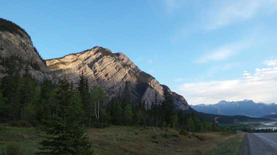
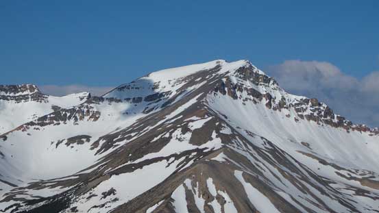
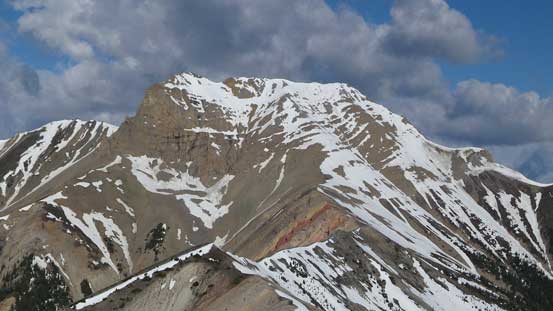
My objective in the morning, view from parking area
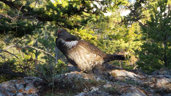
A grouse. There were many of those making strange sounds

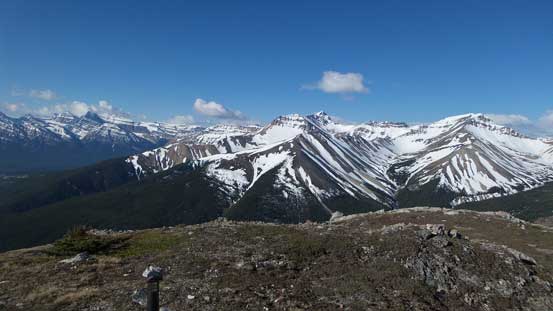
A view of Siffleur, Loudon, Peskett

Tuff Puff is the first bump (just right of center) of this ridge
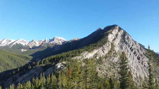
The upper ridge of Ernest Ross
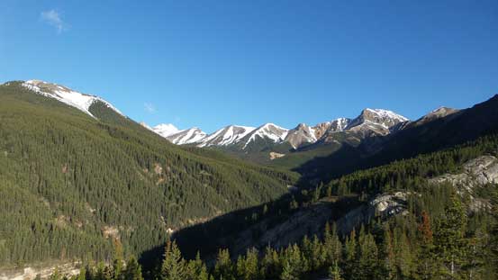
Bridge Creek valley
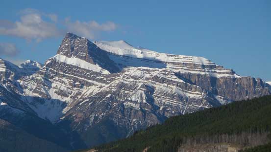
Mt. Peskett
Siffleur Mountain

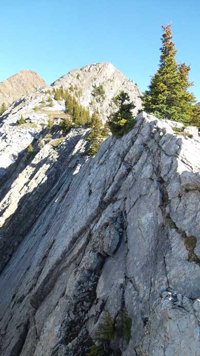
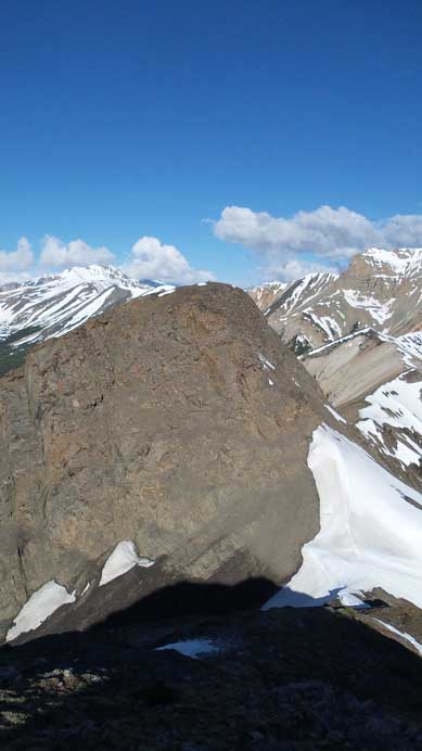
It’s pretty cliffy towards each side of the ridge

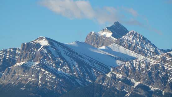
Higher up, finally got a view of the twin summits
Terrain starts to get a bit slabby
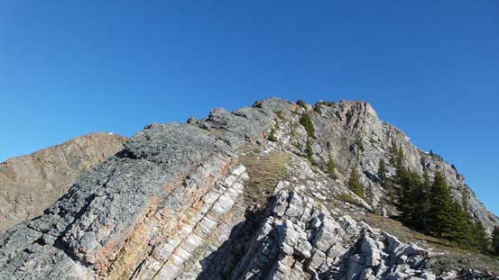
Looking up the last bit before the first summit

Looking down from just above the moderate section
Whirlpool Ridge and Two O’Clock Ridge from the first summit
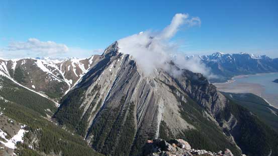
Elliot Peak from the first summit
A closer look at Elliot Peak. Beautiful cloud formation
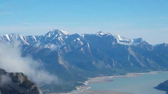
Allstones Peak and Abraham Mountain in the distance

This peak is unnamed
Summit of Two O’Clock Ridge. It’s a long way to get there.

Summit of Whirlpool Ridge

Ernest Ross is surprisingly high. Ex Coelis complex looks small from here

Some high peaks looking towards Banff Park boundary.
It’s hard to tell which of the two summits being the true summit, so to make sure I summitted this mountain I had to ascent both of them. My guess is the second one being marginally higher. Going down from the first summit to the saddle was easy. I was tempted to use snow but apparently there wasn’t a good freeze so isothermal stuffs punished me. I had to spend extra minutes to clean off my boots. (On the way back I bypassed the snow so avoided post-holing). Getting up the second summit was on the hard side of moderate scrambling, on loose terrain. I had to be careful on a few spots but nothing too difficult, and soon I stood on top, with awesome views around. The much-bigger Elliot Peak stole the show. I’ll surely have to scramble Elliot Peak someday, hopefully sooner than later…
The second summit viewing from the first

Scrambling up the second summit
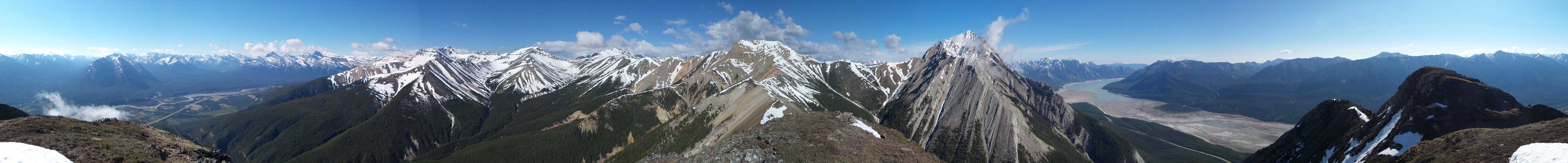
Panorama from the second (perhaps higher) summit of Mt. Ernest Ross. Click to view large size.
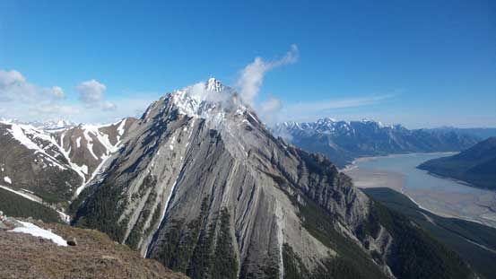
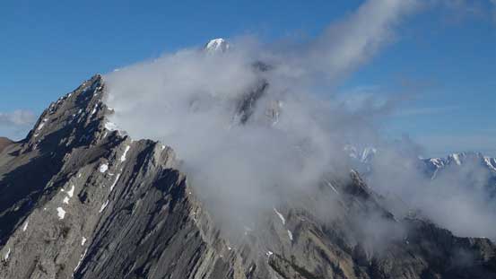
Elliot Peak was almost free of clouds

A closer look.
This peak immediately down the ridge is also unnamed
Clouds started to form on Ernest Ross’ ascent ridge
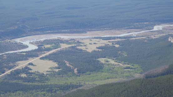
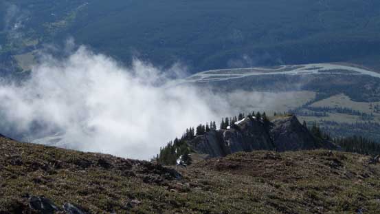
Zooming-in of Kootenay Plain (and Highway 11)

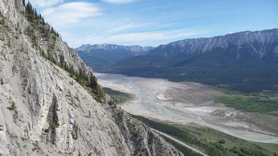
Abraham Lake. Apparently the water level was very low on this day.
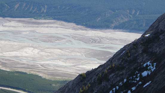
This’s used to be part of Abraham Lake. Now it’s more like the braided N. Saskatchewan River
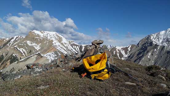
My backpack and the summit cairn
I could already seen some clouds building up. Due to the concern with thunderstorms I didn’t linger long on the top (as most of the route was on open ridge so subjected to lightning strike). I did check the summit register but couldn’t manage to write anything on it. The notes were basically a couple pieces of paper and they were all wet… Someone has to bring a better one to replace it. The descent went easy but was a bit hard on my knees. I guess after a season of snowshoeing/skiing I needed some time to get used to the hard summer ground.
A view from the descent

Looking back
Overall, this was an enjoyable early season scramble, just a bit too short as a day-trip objective. My round trip time was 4.5 hours on a non-rushing pace so I didn’t really feel having done too much work on this day. I definitely had the time to do another objective in the afternoon but the weather had already turned overcast, so I drove home.
