Zygo Peak
August 21, 2017
2623m
Harrison Hut / Lillooet South FSR, BC
“Zygo Peak” is one of the insignificant summits on the northern edge of Pemberton Icefield and the access is usually from the now-overly-popular Harrison Hut. The peak is a little bit closer to the main icefield proper so offers better views in my opinion. The name was however, more-or-less randomly assigned by either the authors of bivouac.com or the VOC party who built the hut back in the days. I cannot find any historical significance of this name although it does appear on the various trail-maps we found in that area so very much legitimate to me. For Adam (Gimplator) and myself this was the second objective of this loop traverse after scrambling up and over Frozen Boot.
Zygo, Madhorse and peaks around Overseer Mountain. GPX DL
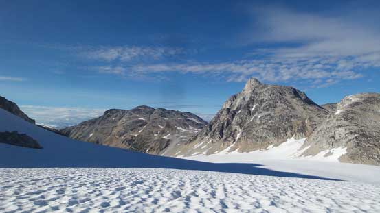
From where we were there’s literally only one route that makes sense – the long NE Ridge. This would involve ascending over a subsidiary bump but the glaciers on the sides were all massively broken. Even getting onto the NE Ridge involved a bit of glacier travel. It might appear flat and innocent but we did have to detour around a deep crevasse followed by ascending a narrow snow arete to the first bump.
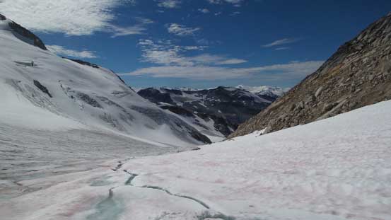
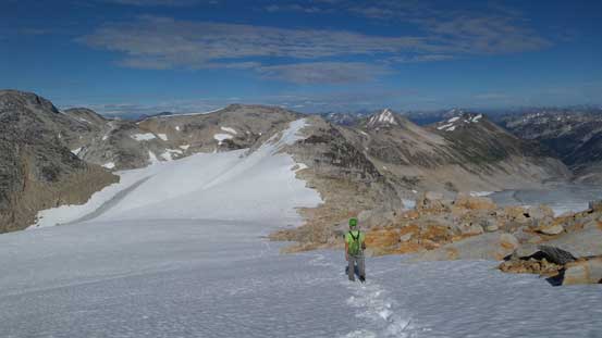
The glaciated saddle between Frozen Boot and Zygo Peak
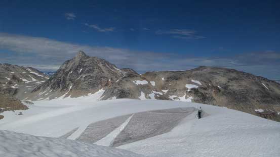
Gaining the NE Ridge of Zygo now. Note the crevasses
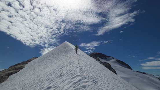
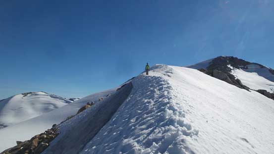
Adam charging up the aesthetic snow arete
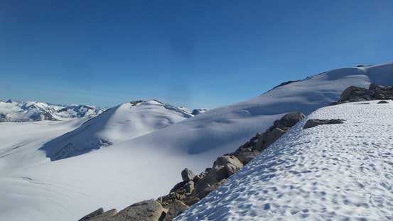
As much as the ridge goes when it’s flat.
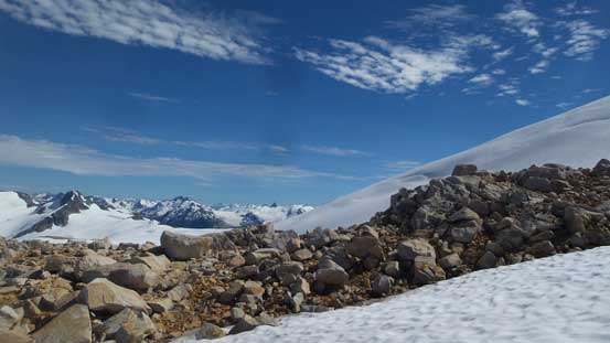
The upper NE Ridge on the main peak did not look very “sexy” as we could tell from distance it’s probably a slog on loose boulders. The lower face we did manage to avoid the boulders by utilizing snow for as much as possible but eventually we had to merge back onto the rock. The scrambling was better than expected though as the grade was less steep than appeared. The view from the summit was all worth the extra effort.
The typical terrain on the upper NE Ridge
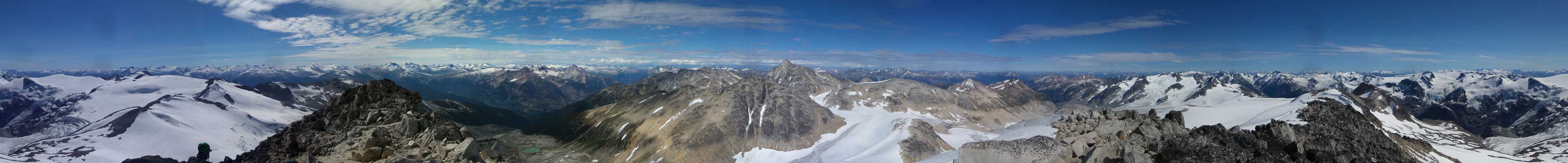
Summit Panorama from Zygo Peak. Click to view large size.
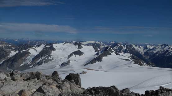
Looking south-east towards Longspur Peak and the main Pemberton Icecap
More impressive glaciers on Pemberton Icecap looking south
Adam on a sub-summit with the elusive Manatee Group behind
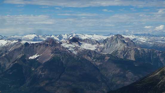
Peaks on Mt. Meager massif in the foreground
Mt. Athelstan in the distance north of Lillooet River valley
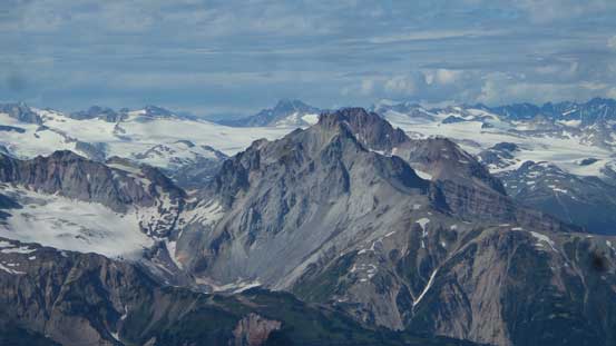
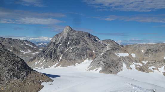
Overseer Mountain
A zoomed-in shot of Mt. Meager with the immense Lillooet Icefield behind
Pylon and Devastator Peaks with Mt. Daphnis on Lillooet Icefield behind
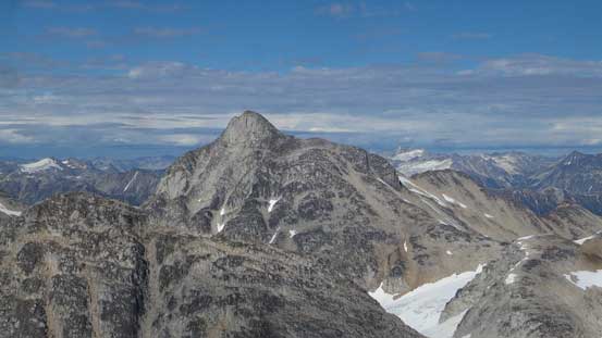
Longspur Peak
At center is Sugarloaf Mountain. Behind on left skyline are Joffre Group
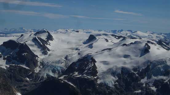
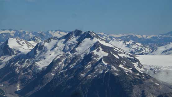
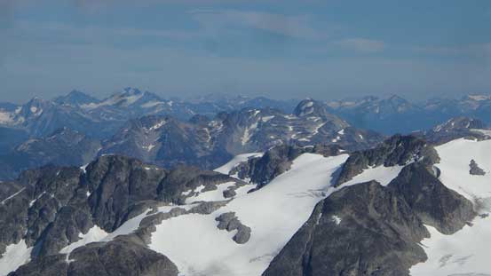
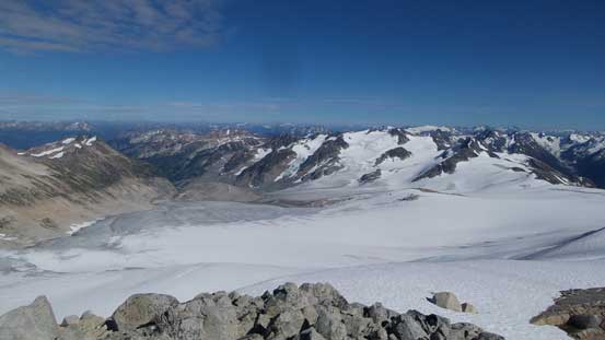
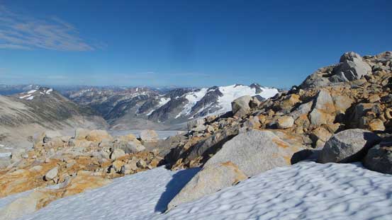
Lots of glaciers around.
I have no idea whether these glaciers are named or not but they sure look cool
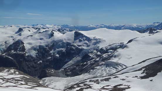
More about the immense Pemberton Icefield
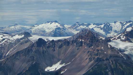
Looking towards Golden Calf Peak in foreground
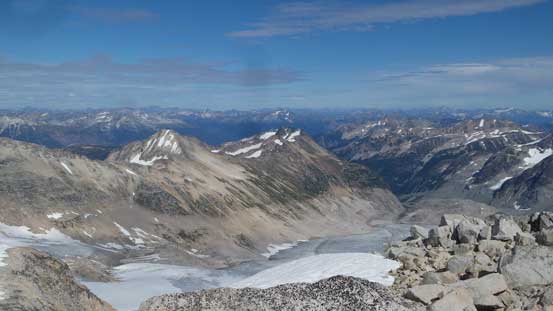
This is looking down the upper South Creek which drains into Lillooet River
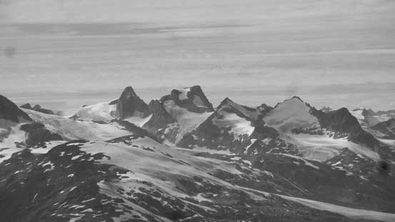
The iconic Wahoo Tower
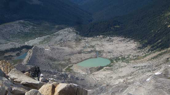
This is the valley where we came up with. Harrison Hut is somewhere there
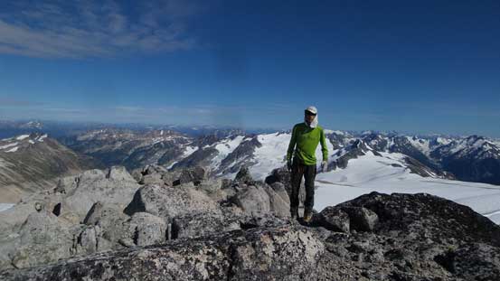
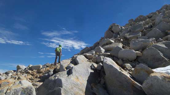
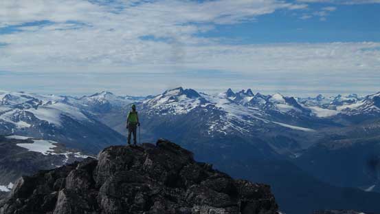
Me on the summit of Zygo Peak
We pretty much simply retraced our exact route down the ridge back to Frozen Boot/Zygo col where we repacked everything. There’s a stream of glacial melt where we topped up the water bottles again, and then we were off towards the base of Madhorse Mountain. This stage was a gentle descent down Madhorse Glacier. Our hope was to find a dry and flat spot to camp but we had no such luck so had to set up the tent on snow.
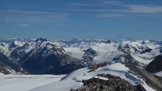
Going down now, but can’t stop shooting the icefield
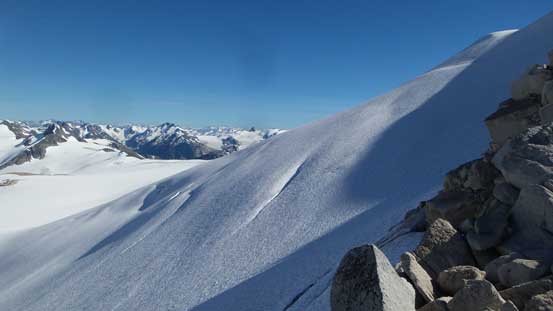
The NE aspect of Zygo Peak.
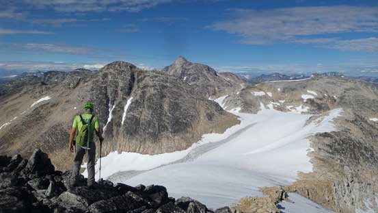
Adam continuing down the ridge with “Frozen Boot” and Overseer behind
Plunging down on snow
Very bright colours on these rocks
Moon Peak in the background.
Overseer Mountain is getting bigger and bigger
Ready for the snow arete section
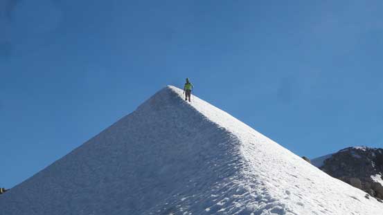
This is the narrowest part
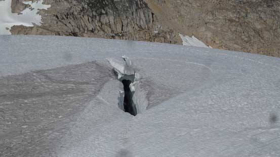
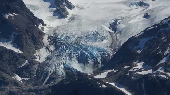
This crevasse we had to detour around…
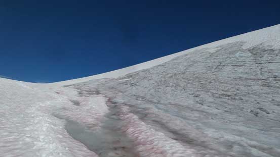
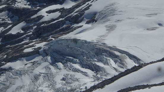
Glacial ice..
Plodding down the upper Madhorse Glacier now
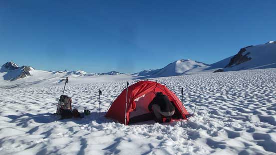
Our camp on Madhorse Glacier
There’s still hours to kill so we decided to scramble up Madhorse Mountain for sunset.
