Missinglink Mountain
May 21, 2014
1935m
Kananaskis – Sheep River, AB
After hiking up Raspberry Ridge in the morning, mom and I were looking for another ascent. Easy objectives nearby included Coyote Hills, Gunnery Mountain and Bull Creek Hills. Neither of them appealed to me since I wanted to save them for winter ascents, plus I’d like to see different views. Doing two small peaks like this back-to-back in one day (and in the same area) would be very mind numbing. Missinglink Mountain seemed like a better idea. We could just use the recent tracks created by Brandon Boulier’s group from a couple days ago. So we went back to Black Diamond for lunch before driving down Sheep River Road.

Missinglink Mountain hiking route. GPX DL
It was about 1 pm when we arrived at the trail-head. Needless to say, it was very hot.. Seeing the treed bump ahead of us it was very hard to motivate, but since we were there anyway we might as well just do it… So off we went. Due to the flooding damage from last June, Gorge Creek Road was closed so that added a bit of distance. After walking for about 1 km up the road we crossed a creek (where the road got washed out), and then ascended the foreshortened grass slope straight ahead. It was slow going due to the heat.
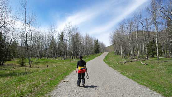
Hiking up Gorge Creek Road at the start of this trip
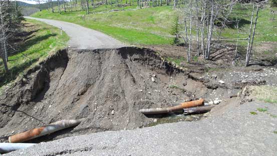
This is why Gorge Creek Road is closed…
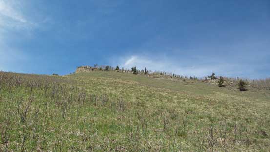
Looking up the ascending slope

Grassy view..

Hiking up the grassy slope. Not the greatest place in a hot afternoon…
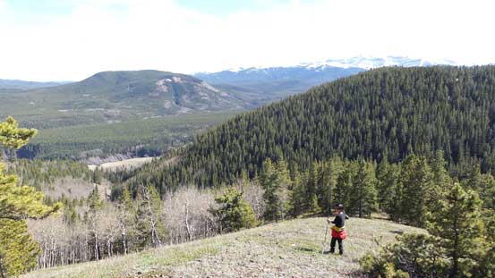
This slope brought us to the ridge crest. Initially the route/trail followed the edge of the cliffs so we were treated with some cool scenery, but soon we entered the forest. The first highpoint was what’s marked on my GPS as the summit of Missinglink Mountain, but apparently there’s a higher bump further down the ridge. In order to claim the summit, I had to get to the true one. Unfortunately, the rest of the ridge traverse was long and boring. The views were substituted by bush and there were quite some elevation loss/regain.

Cresting the ridge, looking ahead
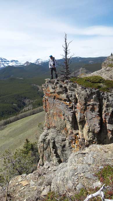
Me posing beside a huge drop-off

Typical view from most part of the ridge…
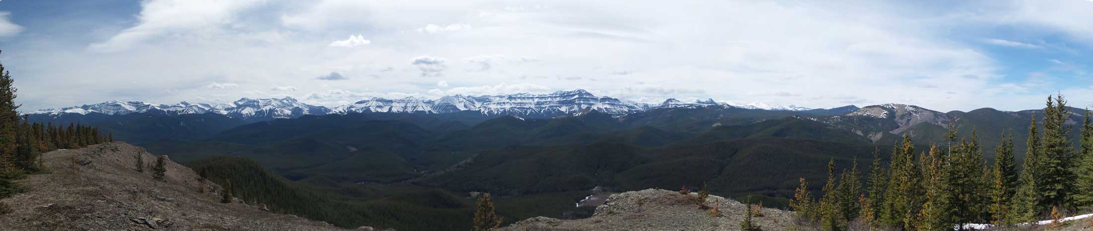
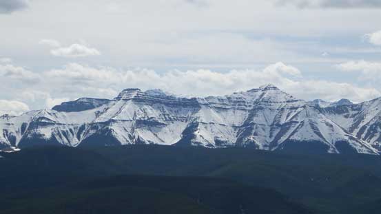
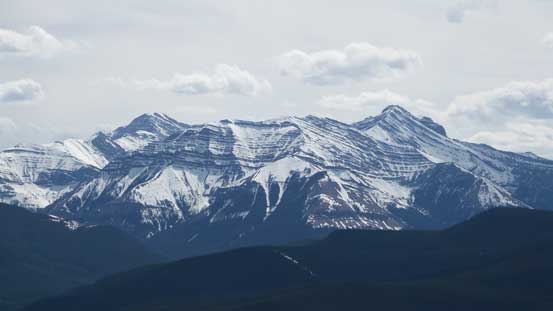
Summit Panorama. Click to view large size.
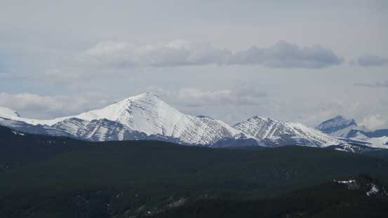
Mount Glasgow is still snowy

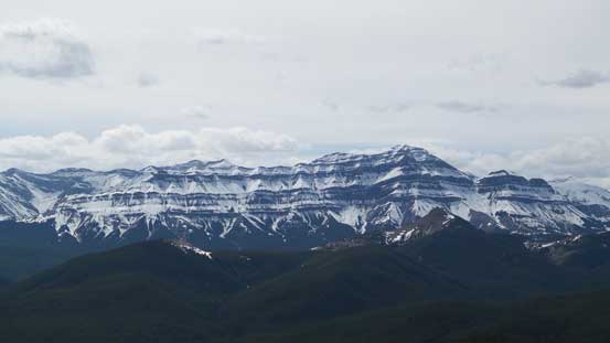
Threepoint Mountain with Banded Peak and Mt. Cornwall behind
Mount Rose is rarely ascended.
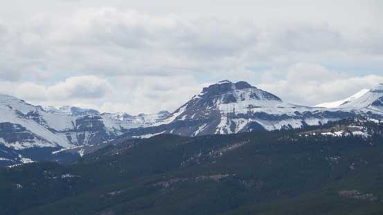
Impressive Bluerock Mountain, with the tiny Mt. Ware in front
East Peak of Mount Burns. It’s covered in Nugara’s scramble book
Shunga-la-she

Junction Mountain
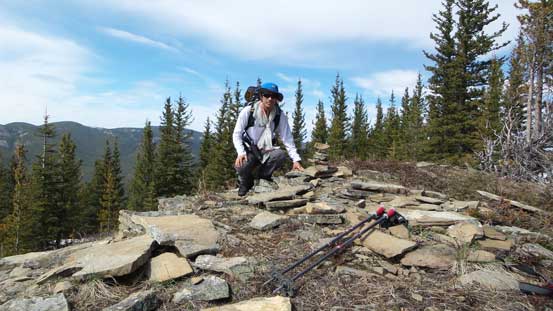
Me on the summit of Missinglink Mountain
On the descent we planed to retrace our steps back. However, I ended up making a huge navigation error by descending a wrong ridge. After realizing “something went wrong” I checked my GPS. It was pretty hopeless as we were way off by now. However, by continuing down this ridge we should also be able to get back to the road so we decided to go this alternate way. It turned out there’s even a (faint) trail on the ridge. So it wasn’t too bad, just longer and slower.
Descending the alternate route

The last slope to descend
Eventually we made back to the Sheep River Road, and walked back to our car. Missinglink Mountain turned out to be a little summit that offers some fine views towards peaks like Bluerock Mountain, Shunga-la-she and Junction Mountain. However, I wouldn’t recommend it as a hot day objective. The true summit is quite a ways back and the ridge seemed to drag on forever. Due to the winter closure of the access Road I think the best time to do it is October and November when you don’t have many options anyway.
