Mount St. Benedict
January 3, 2017
1278m
Mission / Fraser Valley, BC
Mt. St. Benedict is a somewhat insignificant peak in the Chehalis area east of Stave Lake. The access is from Mission and the peak has been fairly often used as an all-season objective by the locals. The standard route loops around the north side via MacKay Lake while it also appears that a logging road system goes high up the south ridge. I don’t have much doubt that the south route offers the easiest way up (essentially just a long plod up a road), but the north route has more variations and I figured it’d be the more enjoyable option anyway.
An Arctic high pressure system had granted some guaranteed blue skies but at the same time, that accompanied cold outflow wind had hammered most regions of the Fraser Valley and Howe Sound with gusts exceeding 90 kph according to various forecasts. Given the brutal conditions I had to pick something at or below treeline and Mt. St. Benedict seemed like a right choice. This would be a short day outing so there’s no need to rush in the morning. Waking up around 6 am I made to Mission just when it’s bright enough and then up the Sylvester Road I went. The road terminates at Lost Creek FSR and without aggressive winter tires nor tire chains I had to park my Jeep there.
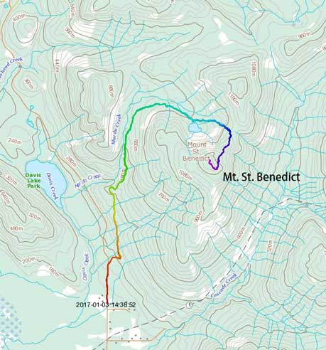
Mt. St. Benedict ascent route. GPX DL
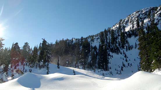
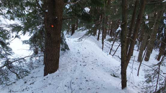
About 600 m of walking on the icy Lost Creek FSR it’s the start of Murdo Creek FSR. There’s a gate at the start of this side road and once hopping over it I had to don snowshoes right away. Considering the low elevation of Fraser Valley it’s amazing to see this much of snow accumulation. The first 2 km or so had fair amount of elevation gain and after that the road splits. Following the main set of snowshoe tracks I took the left branch (which is the north approach) and another kilometer or two later the tracks had stopped. It’s apparent that those guys had turned around probably due to the amount of trail-breaking effort required, and from here onwards I was on my own.
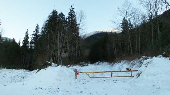
This is the start of Murdo Creek FSR. Had to strap the snowshoes on right away
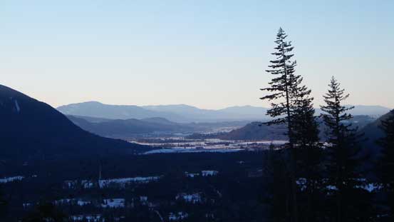
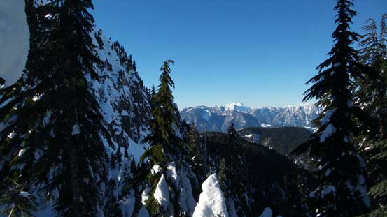
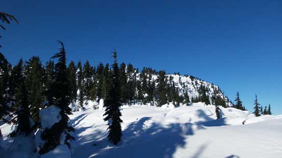
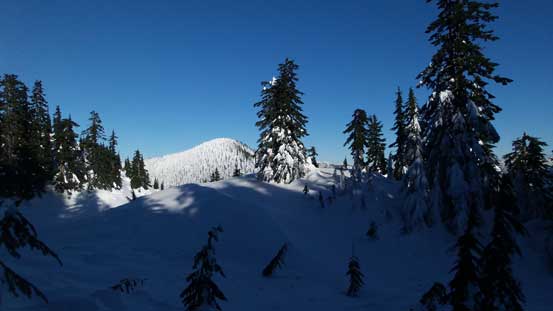
Morning view of the Fraser Valley from one of the viewpoints
Having less than 700 m elevation gain left at this point I wasn’t too concerned with trail-breaking. The start of MacKay Lake trail wasn’t very clearly instructed. After correctly locating the side road I immediately got confused as where the trail actually went. The road was chocked with bush so I was forced to bail into the forest on the left side. Bushwhacking for a short distance I came across a couple orange markers and that must be the trail. The markers were pretty easy to follow at most places but there wasn’t a clearly defined path so there’s still some micro-terrain that I had to choose from. Generally speaking I did fine and just before the lake’s outflow I crossed the creek. People had mentioned some tricky creek crossing but given the amount of snow we had right now it’s a trivial fair.
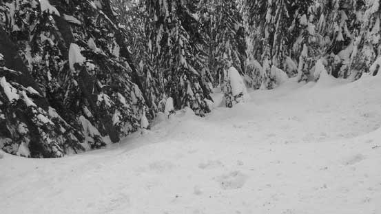
Crossing Murdo Creek just below the outflow of MacKay Lake
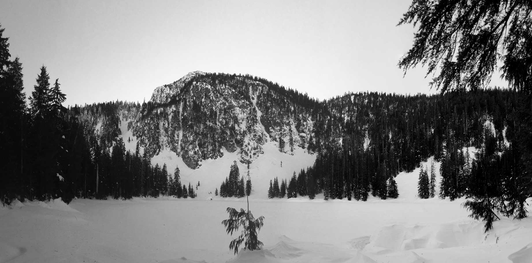
A panorama from MacKay Lake. My objective is behind
I went down to the shore of MacKay Lake to check things out and then went into the forest again. Taking a straight beeline due east it’s pretty straightforward open forest travel and then I merged into a creek feature. Upwards and onwards the terrain got steep in no time and ahead was that col between Mt. St. Benedict and its north peak. The terrain around here was much bigger than I was expecting and this stage took me a good while thank to the knee-deep post-holing. Once hitting the col that cold outflow wind had picked up again. The ridge was forested but even that, I had to put the balaclava on and that’s a good indication how strong the wind was…
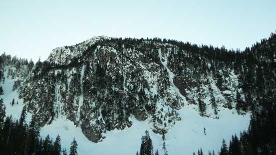
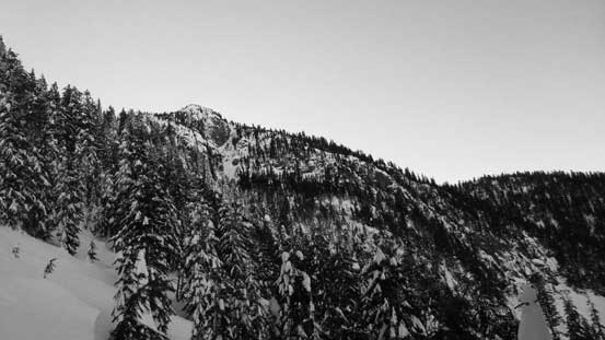
The North Face of Mt. St. Benedict. My route goes up from left and behind

Grunting my way towards the high col
It’s steep for a long period of time..

Above the high col I followed the wooded NE Ridge up. This is looking back from the ridge.
The broad NE Ridge of Mt. St. Benedict was pretty easy to navigate and the views were finally opening up at this stage especially with Mt. Robie Reid and Mt. Judge Howay stealing the show. Higher up it’s apparent that I couldn’t attain the summit by a direct finish but then a natural line presented itself on the left (south) side. Traversing on a flat bench due south and then ascending steeply up a break I then intersected the upper south ridge, and shortly after I was standing on the summit. Unfortunately the wind was howling like crazy so I didn’t enjoy that summit stay.

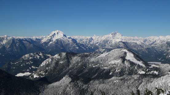
Mt. Robie Reid
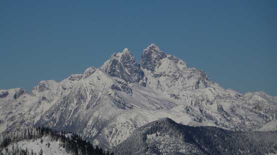
Mt. Judge Howay
Looking sideways across the steep N. Face from NE Ridge
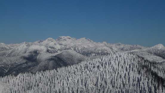
The Golden Ears Group
This is the basin/bench that I’d have to traverse southwards.

As the direct NE Ridge finish didn’t look very feasible.
Starting the traverse due south, looking back.
Cresting the south ridge now, looking ahead
As you can see from the snow feature, the wind was brutal…

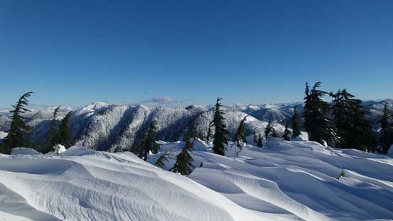
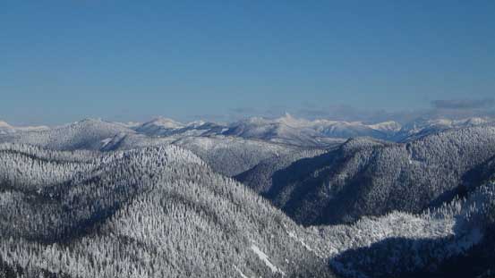
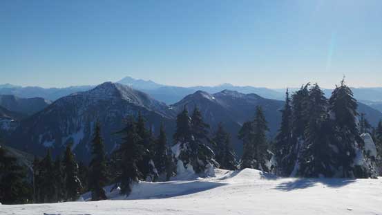
Looking over a sea of forested bumps towards some distant peaks south of Fraser Valley

This is looking at Fraser Valley
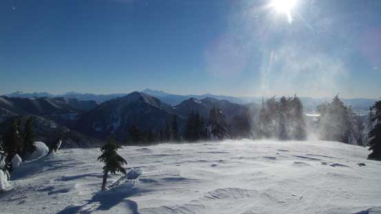
Tornado up there…
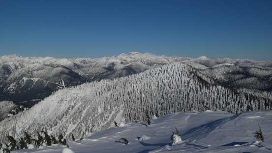
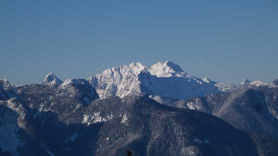
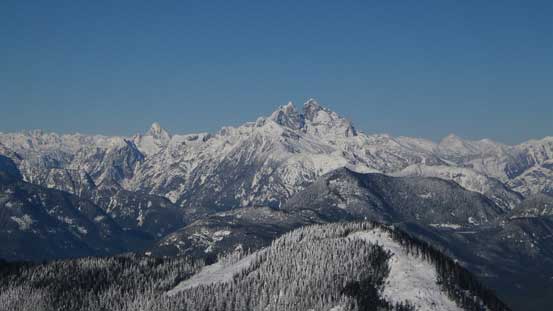
Looking over the north peak of St. Benedict towards Mt. Clarke area
Mt. Robie Reid and Mt. Judge Howay are always the eye-catching giants

Golden Ears rise behind Stave Lake
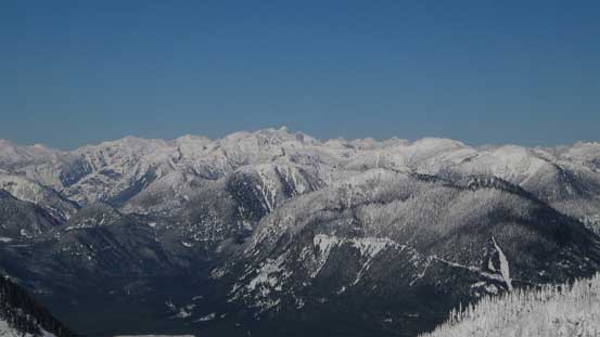
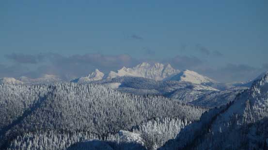
Mt. Clarke et al. in the Chehalis Group
Looking way deep into East Harrison area towards the unique Mt. Urquhart
This is the very remote Robertson Peak
Mt. Judge Howay

Mt. Robie Reid
Looking south at Mt. Baker on the skyline.

A very zoomed-in view of Mt. Urquhart
The Old Settlers

Cheam Range

Me on the summit of Mt. St. Benedict
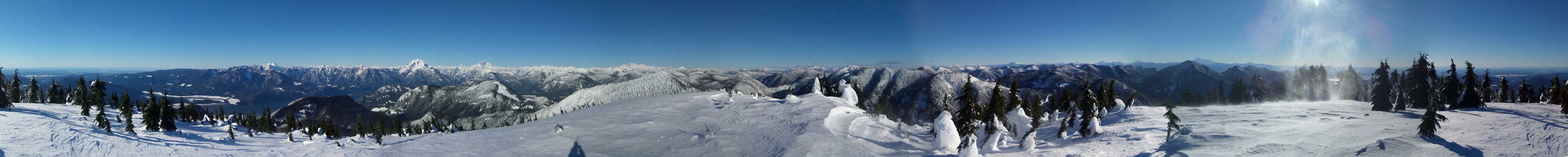
Summit Panorama from Mt. St. Benedict. Click to view large size.
Retracing my steps down the south ridge and then across the east side bench was fast and easy. Going down the north-east ridge wasn’t difficult neither although the snow surface was very variable. Then down into the aforementioned steep slope it’s a fast and fun plunge and glide. I didn’t bother to check MacKay Lake out this time and instead I had made a decision to get back home as early as possible to beat the afternoon traffics. Following my tracks out was certainly easy as I no longer had to use brain power to select route choices, and once back to Murdo Creek FSR the rest of the descent was actually quite scenic as the road was fairly open at sections.
Down to that east side basin now.
Plunging down the steep slope below the col, looking at the North Face

My tracks down from the col..
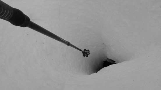
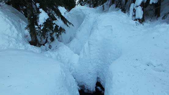
There’s a very deep hole in the creek… Looks like at least 3-4 m deep…
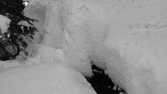
Crossing the creek is very easy given this amount of snow…
The forested section
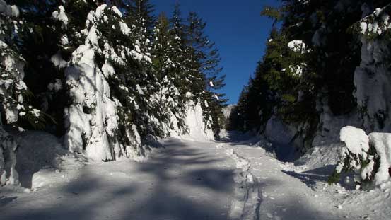
Back to Murdo Creek FSR now
What a trail that I broke in the morning…

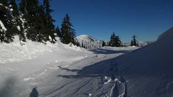
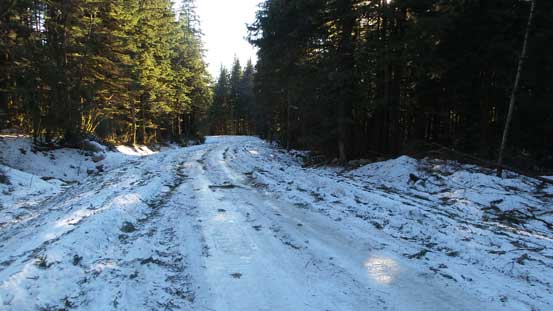
This is where the north route and south route split
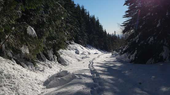
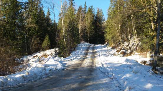
The Lost Creek FSR is as icy as it looks here…

A view from this main road
I stopped just before this steep rise. Without chains there’s no way…
The last part walking down Lost Creek FSR required some caution as it’s still very icy, and my round trip time was about 6 hours which was certainly not bad considering the extra distance I had to cover as well as the heavy-duty trail-breaking. Wasting no time I immediately started the drive. There’s an obligatory gas stop in Misson (much cheaper than in Metro Vancouver) and I did manage to get back home without too much of the traffic issues.
