Mount Galiano
December 22, 2020
314m
Galiano Island / Southern Gulf Islands, BC
Mt. Galiano is the highest point on Galiano Island which is part of the Southern Gulf Islands. There’s a maintained trail that runs all the way to a nice viewpoint south of the summit but the true summit itself is completely forested and falls into the category of “dumpster diving”. The hike is short enough to be a half-day outing but there is only one scheduled ferry ride from Tsawwassen to Galiano Island in the morning and only one ride to come back in the evening. With this constraint I would have to spend a full day on the island no matter what, so the better plan was to bag as many dumpster summits as possible in one trip to make the full use of a day.
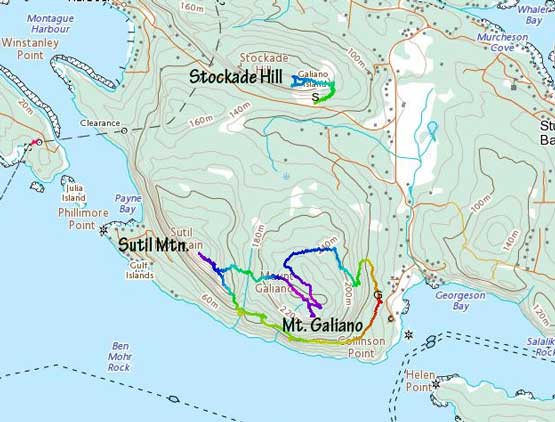
Galiano Island – Mt. Galiano, Sutil Mtn., Stockade Hill. GPX DL
A short weather window formed at the start of this year’s winter break but a low-elevation snowfall event leading to this stretch of good weather shut down a lot of objectives. The decision to check out Galiano Island with Angela was a very spontaneous and last-minute one. Once the decision was made we managed to reserve the round trip ferry tickets to secure our vehicle’s spots on the ride. In the morning we drove to Tsawwassen at 9 am in some thick fog. The fog lifted once we got onto the ferry so we walked to the sun deck to get some views. The drive from Sturdies Bay to the trail-head was about 10 minutes on paved roads.
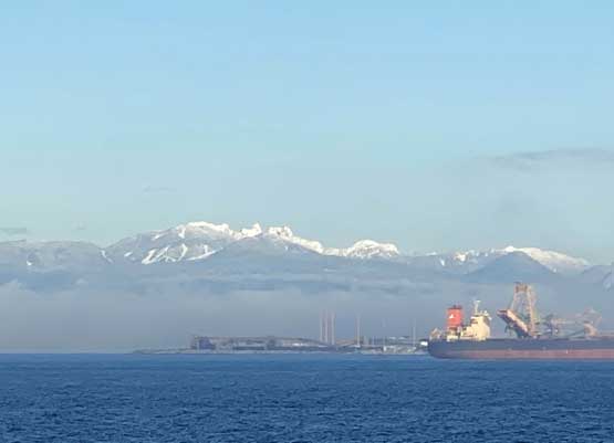
View of North Shore Mountains from Tsawwassen Ferry Terminal

Me on the ferry doing Covid thing…
The parking lot was very muddy thank to the recent precipitation and the trail was a bit under-maintained than expected. There were signs at most junctions but the trail bed was faint at places, probably also due to the dump of precipitation. After a while we merged onto what seemed like an old and private logging road on the backside of the peak. A while later we left the road following the trail markers and the south viewpoint was soon reached. There was enough snow to post-hole whenever we stepped off the beaten paths.

Angela starting the Mt. Galiano summit trail
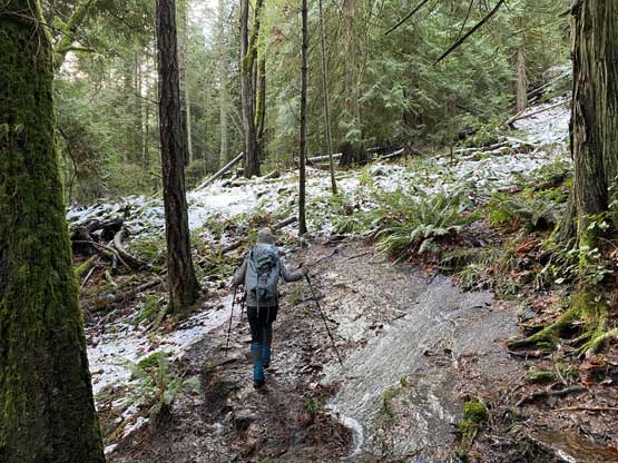
As you can see, the trail was very wet at places

Almost made to the viewpoint south of the summit

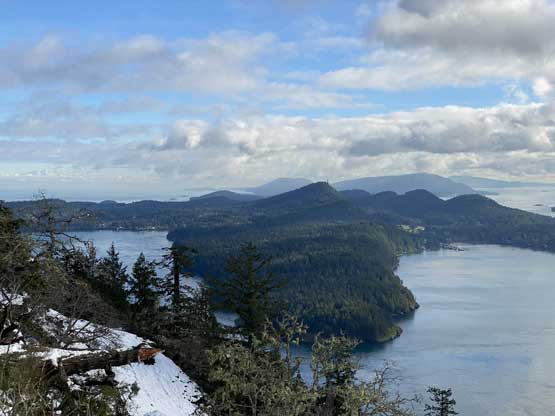
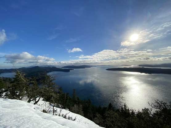
Panorama from Mt. Galiano’s viewpoint. Click to view large size.
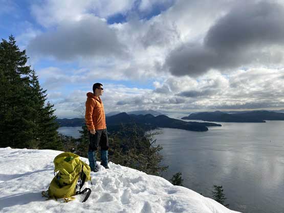
Me at the viewpoint soaking in views

An obligatory shot for the ‘gram…
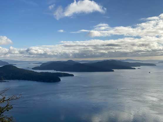
Mayne Island with Mt. Parke in the foreground

Baynes Peak on Salt Springs Island
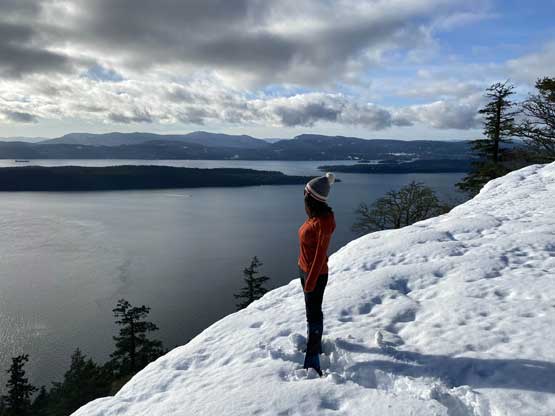
Angela on Mt. Galiano soaking in views
After a while the layer of clouds dissipated
This is looking at North Pender Island
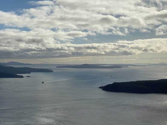
The passage between these islands is busy with ferry traffic
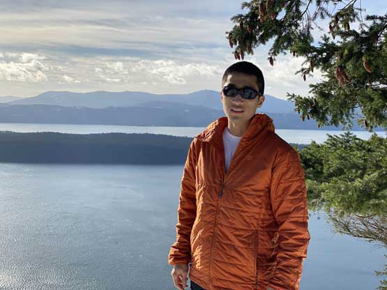
Me in portrait mode taking in the views

A small boat riding under Mt. Galiano’s south side cliffs
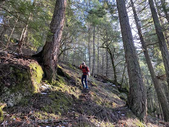
Once taking enough photos we walked north through open forest to the true summit. There was no view whatsoever other than trees, so we immediately resumed the traverse towards Sutil Mountain. I picked a line descending the west slopes towards the chasm that separates Sutil Mtn. with Mt. Galiano. I ancipated some steep bushwhacking based on the topo and satellite images. The terrain was steep at places but the bushwhacking was almost non-existent as the forest was old growth. In short time we were down to the creek that runs between the two peaks.
Heading for the true summit
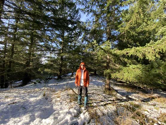
Mt on the true summit of Mt. Galiano

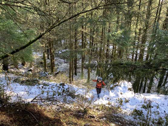
Descending the open forest on the west slopes of Mt. Galiano

The terrain was steep but not bushy
Angela descending the game trails

As typical as you can see here…
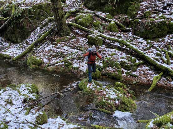
Hoping across the creek at Galiano/Sutil saddle
