Mount Oswald
July 18, 2020
2544m
Sims Creek / Clendinning Area, BC
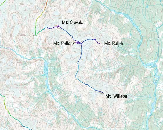
Mt. Oswald is the tallest of the four peaks that form the southeastern lobe of Clendinning Range on the divide between Sims Creek and Clendinning Creek. There are taller summits to the immediate northwest, but this peak boasts over 800 meters of topographical prominence. The ascent is largely non-technical with some simple glacier travel by any route, but the access is nearly impractical without air support. Alex, Vlad and I did it as the 4th objective of our helicopter assisted 10-day traverse across the headwaters of Sims Creek into the heart of Clendinning area. Earlier in the day we had ascended Mt. Willson, Mt. Ralph and Mt. Pollock.
The first day – Mt. Willson to Mt. Oswald.
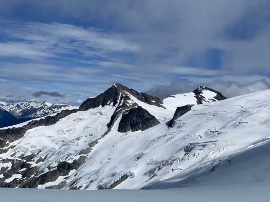
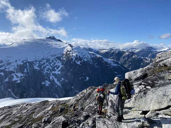
From Pollock/Oswald col the ascent of Mt. Oswald would be nothing more than 300 m plod on snow and glacier, but our packs were heavy. Mine weighted 24 kg on the first day and we had to take several breaks along the way. The clouds also came in and out making some intermittent white-outs but between white-outs we had some great views. The summit of Mt. Oswald had the nicest views of our first day so we lingered for quite a bit. We also took some look at the mighty east face of Mt. Vanstone trying to figure out a line for the next morning, but it didn’t look very nice.
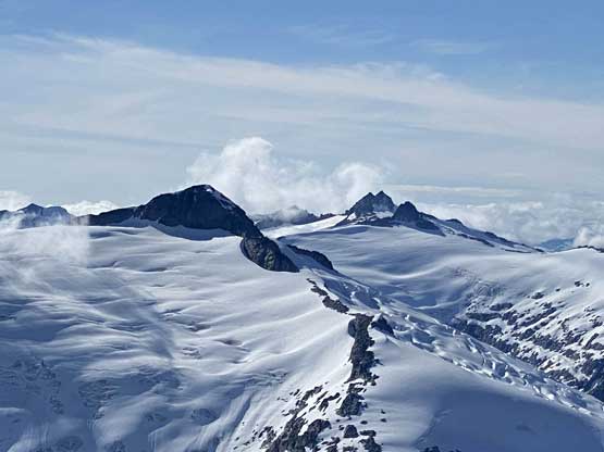
Looking back towards Mt. Ralph and the glaciers in between

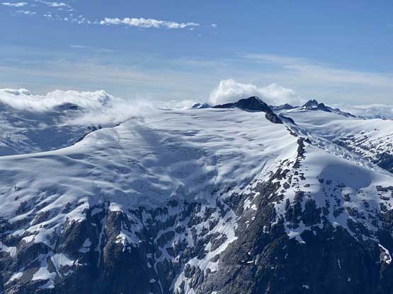
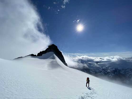
The very foreshortened plod up the southeast slopes of Mt. Oswald
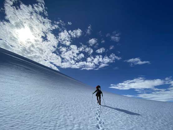
Alex nearing the summit now

Me and Vlad with Mt. Ralph and Mt. Pollock behind. Photo by Alex R.
Alex and Vlad dropping their packs for the last 20 meters
The double-summit massif of Mt. Boardman pokes behind Mt. Perkins

This is looking north towards Meager Creek area in the distance
A wider shot of Mt. Perkins
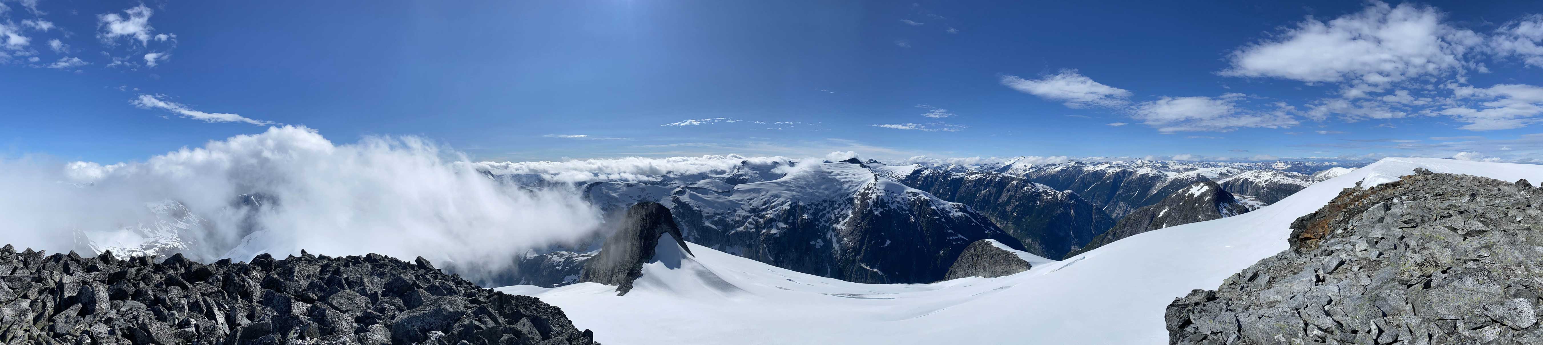
Summit Panorama from Mt. Oswald. Click to view large size.

Another view looking back at Mt. Ralph and Mt. Pollock
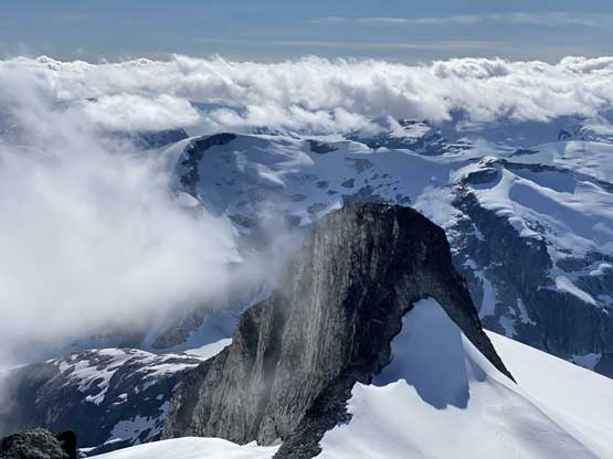
An impressive sub-summit tower in the foreground

Elaho Mountain is very elusive

Me taking in the views. Photo by Alex R.

Vlad plodding back up to the summit from a rocky viewpoint

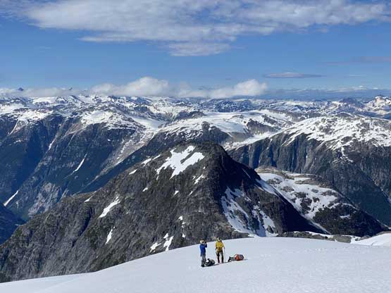
Our group shot on the summit of Mt. Oswald
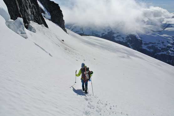
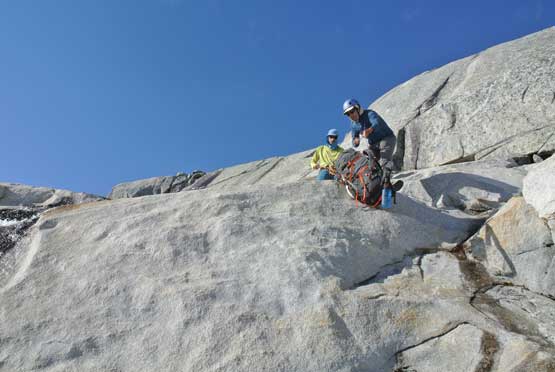
The biggest challenge of our Day 1 was the 800-m descent down to Oswald/Vanstone col and this entire stage was on unknown terrain. The first half was easy as we just had to plod down on some soft snow paying only attention to some sagging crevasses but once the snow ran out we had to play some consistent route-finding game. The terrain was slabby granite and what seemed “easy” on the satellite images turned out to be trickier than expected. For one particular rock band we searched around and couldn’t find a walk-down route so committed to a short bits of 4th class. To make it work we lowered our packs down first and then down-climbed without the loads. Vlad unfortunately dropped one of his poles into a deep moat. We spent at least half an hour trying to fish the pole out but to no avail. Beyond that troublesome rock band we encountered more granite slabs but were at least able to scramble down without having to take big detours. The last section was done by traversing a long ways skier’s left (south) and the final 50 m required us to strap crampons on (first time of the trip) to down-climb some 40-degree snow.

Alex leading down the west side glacier of Mt. Oswald

As you can see, we had clouds coming in and out all the time
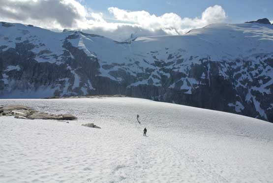
The clouds lifted and we had some nice views descending
Me taking over the lead here. Photo by Alex R.
Me and Vlad plodding far ahead. Photo by Alex R.

The east face of Mt. Vanstone
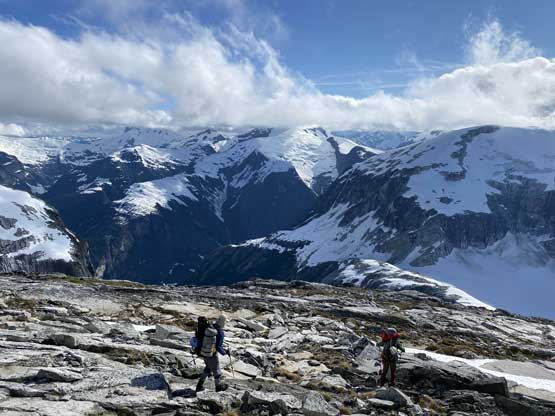
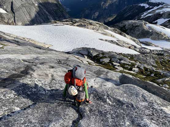
Running out of snow now, time for some granite slabs
Easy descent so far with Mt. Perkins as the backdrop

Started to see the deep chasm into Sims Creek valley
We had to lower the packs down for one step. Photo by Alex R.
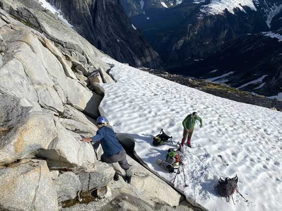
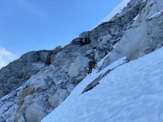
Alex sorting the rope while Vlad down-climbing
Alex down-scrambling more tricky slabby terrain

This is looking back up towards the south side of Mt. Oswald
The last section required us to down-climb some steep snow.
The col between Mt. Oswald and Mt. Vanstone was in a very deep and shady chasm. We were hoping for running water but turned out that we just had to camp on the cold glacier for the night. We had several possibilities to get up Mt. Vanstone and decided to make the final decision in the morning. By the time we packed up the shits in the morning nobody felt like venturing to test out the unknown especially with the ridiculously heavy backpacks. The alternate option was to walk down to 1000 m and then bushwhack and boulder-hop up Whiting Creek and we unfortunately had to skip both Mt. Vanstone and Mt. Perkins. I was not happy to skip Mt. Perkins but at least this route would position us much closer to Mt. Boardman for the following day.
