Mount Howard
November 18, 2012
2777m
Kananaskis – Elbow/Jumpingpound Area, AB
Like its neighbour, Mt. Bryant which I ascended the day before, Mt. Howard is another easy objective buried deeply in the front ranges of Kananaskis. These peaks although not much lower in elevation than the main range’s objective, generally draw less interest in the scrambling community and in my opinion, the ideal time to ascend is those “shoulder season” days. The Powderface Trail closes by December 1, so November is that season.

Mt. Howard scramble route via the long undulating N. Ridge
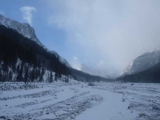
The crux of this trip was the driving. I woke up at 5AM in Canmore in a freezing rain, had a quick breakfast in MacDonald, and drove to Bragg Creek. I met Andrea at 7:30 AM, and squeezed in her SUV. As forecasted, it was snowy and got heavier and heavier as we were driving down Highway 66, and near Rainy Summit the visibility was almost zero. The snow covered road blended together with the white-sky and we had no idea where the road went… It was just all in a whiteout. But somehow she managed to drive past the worst area, onto the narrow, rough and unpaved Powderface Trail, and made all the way in to Upper Canyon Creek without winter tires. Wow, I guess that’s the difference between a SUV and a car… Anyway, I have to thank her a big time for driving. As forecasted, the wind was very strong, but not crazy enough to knock us off balance, so we kept our original plan.
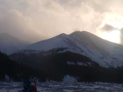
A look at Mt. Bryant – my previous day’s objective
This mountain shares the initial few kilometers’ approach with Mt. Bryant which I did the day before, so I had fresh memories. Right after the start we were facing directly against the wind, oh well. It wasn’t a pleasant feeling when all the blowing snow smashes on our faces. We kept marching, passing the turn-off for Bryant’s normal route and then it’s east ridge route, and another hour later, we were at Mt. Howard’s ascending ridge. As soon as we entered the forest wind died off completely and it started to feel very hot. We had a quick lunch break in the forest. The hardest part was right after breaking treeline – step-kicking or post-holing up a very steep roll, while facing against the howling wind. Andrea was smart enough to bring ski goggles (I bought one after this trip)… With good attitude, we kept moving, at least we had some blue sky at this moment.
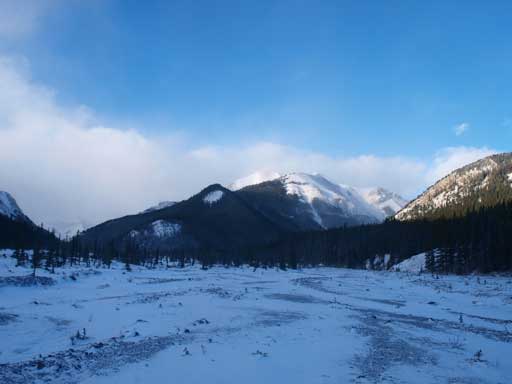
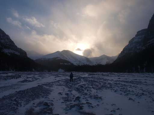
Upper Canyon Creek. This is the typical view, and you can see the theme of the weather as well.
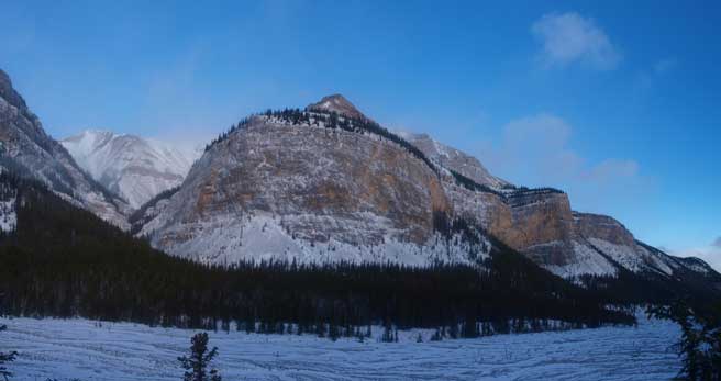
The lower wall of Mount Bryant
Compression Ridge dominates the back-drop as we slowly gaining height on Howard

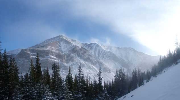
A look at Mount Bryant from just above treeline
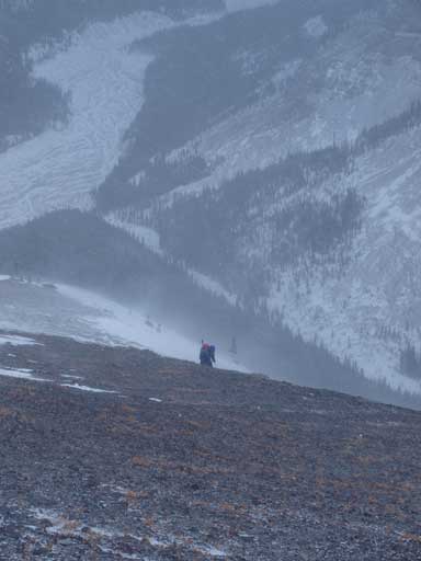
We had to battle against the wind..
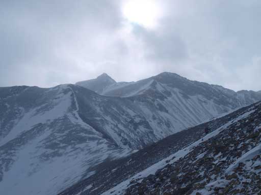
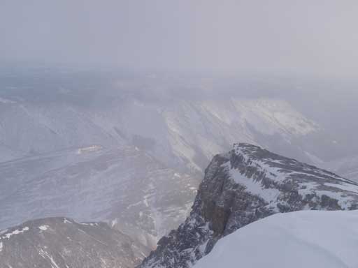
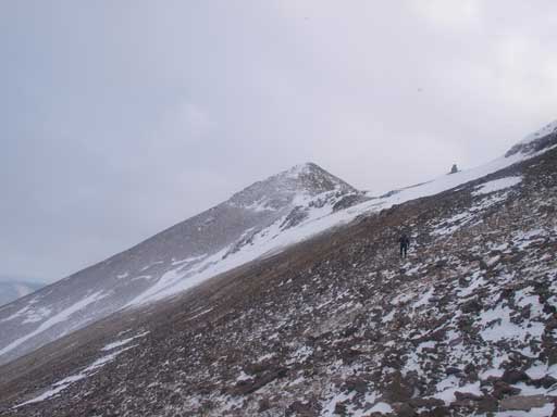
The long ridge walk of Mount Howard.
Again, with positive attitude, it was just about perseverance. The blue sky slowly disappeared as we gained elevation. We traversed the last false summit on climber’s left side. The snow slope was rock hard but we didn’t bother to use crampons. I slowly kicked tiny “holds” and it worked. There’s some hands-on near the summit, and that’s the only hands-on section for the entire mountain. The blowing snow made the visibility very low. It took us 4 hours 15 minutes from car to summit which wasn’t a bad pace.
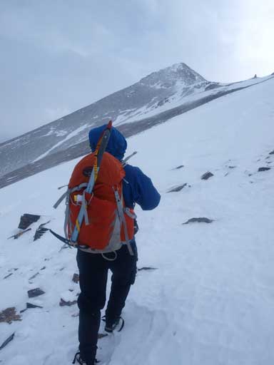
Almost there…
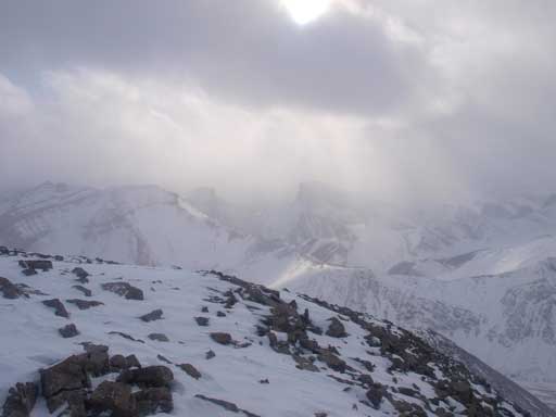
We could barely see Remus and Romulus
And, Nihahi Ridge barely visible.
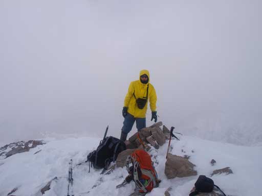
Me on the summit of Mt. Howard, my 150th peak
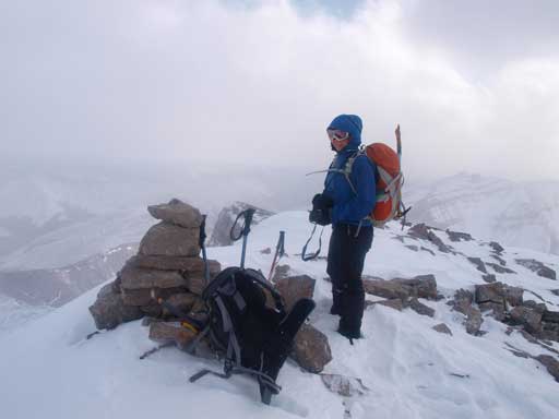
Andrea on the summit
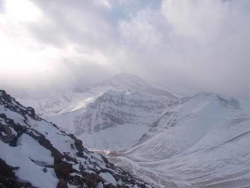
Fisher Peak is the big one in the background.
There was very little hope for the weather to improve, so we quickly started the descent. We decided to take the Nugara’s alternate route, straight down the slope. This way we could avoid the howling wind. I ended up getting some fun glissading down the snow slope. Since we took an earlier exit we were facing at a much longer creekbed walk… There was more snow in this part of the side-valley than the main Canyon Creek. Thankfully the post-holing wasn’t bad. After what seemed like eternity we made back to Canyon Creek, and during the final slog back along Canyon Creek we got some good evening view. It wasn’t evening yet but the sun was low enough to provide orange colours.
Looking back at the summit
Going home
Looking back at the lower ridge of Howard
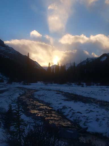
Sunset time
Overall, it was a very successful trip to have Mt. Howard successfully bagged, but I have to say given the wind and weather picking a less committing objective might be the smarter idea.
