Klesilkwa Mountain
May 22, 2021
2075m
Chilliwack Lake / Paleface FSR, BC
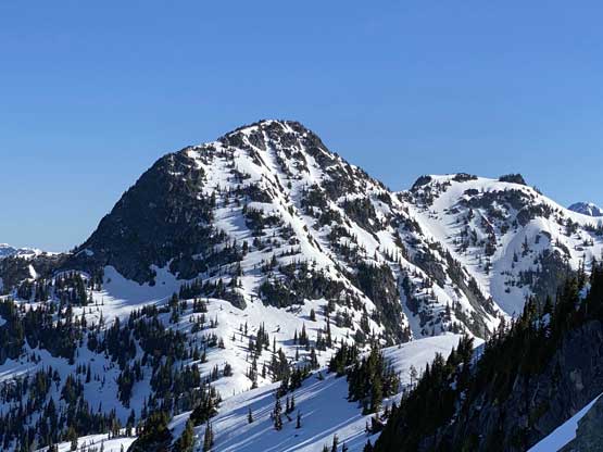
Klesilkwa Mountain is one of those officially-named summits that can be accessed via Paleface Creek FSR that branches off from Chilliwack Lake FSR. The status of Paleface FSR had seen some improvements over the last few years thank to new logging activities and these peaks had gained popularities because of the easy access. One still needs a high clearance 4×4 vehicle to push high on the spur roads but such vehicle is almost mandatory for peak-bagging in SW BC anyway. Klesilkwa Mtn. boasts quite a few summits with the north summit sharing the exact same elevation as the main peak according to the BC government topographical map. The south summit is unofficially named “Foe Peak” on peakbagger.com and despite the lower elevation, still boasts over 100 m clean prominence.
To tag the main summit there are basically two options and both are well documented in some trip reports on ClubTread forum. The faster option ascends the valley/bowl between Klesilkwa Mtn. and “Custer Ridge” followed by a stiff scramble (or snow climb) up the east ridge, while the less technical option traverses the south ridge over the south summit but getting to the south summit requires some bushwhacking on steep terrain. The decision to ascend this peak was a spontaneous one only because another group (Duffy and Ashkan) had just laid a set of tracks up the south ridge the day before. Vlad, Alex and I knew their plan and decided to follow. I did not receive the GPS track and the text messages from Duffy until almost 8 pm and upon laying their track onto the map I made the decision to not follow their initial approaches. They had taken a long and roundabout route lower down. The three of us discussed the route options and opted to take the direct south slopes bushwhacking to the south summit.
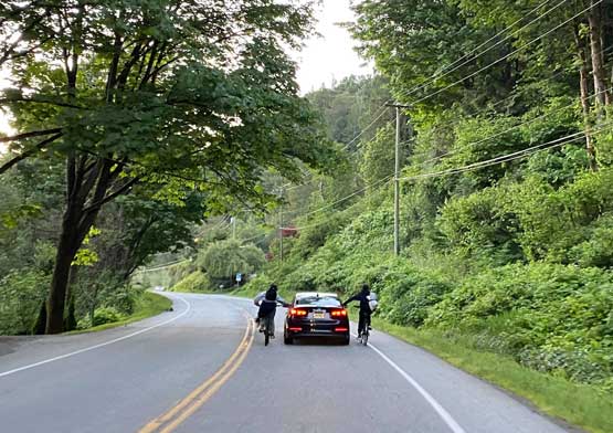
We also knew exactly where the truck could be driven to (1150 m and only 50 m under the TCT trail-head), and because of that we did not have to wake up too early. The three of us met in Abbotsford at 5 am and within an hour we were at Chilliwack Lake. The main road was easier than I expected with generally shallow pot-holes and the Paleface FSR was just as expected, steep with some big water bars. These water bars weren’t a problem for the Tacoma but would be problematic had we taken Alex’s Subaru. What stopped Duffy and Ashkan from driving farther was patches of snow and because I had zero experience in off-roading on snow we opted to park at the exact same spot.
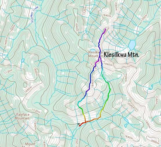
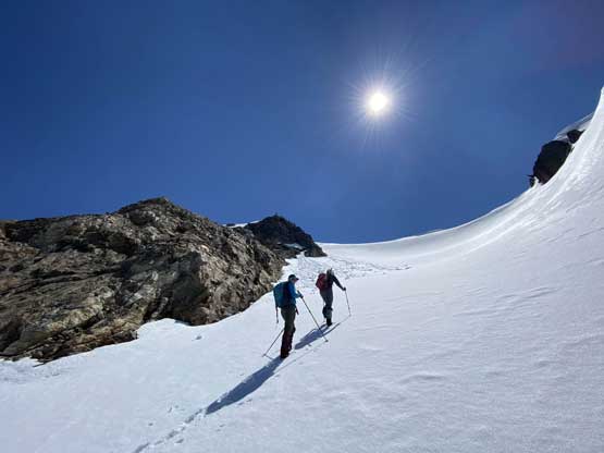
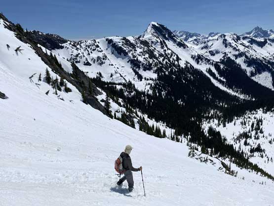
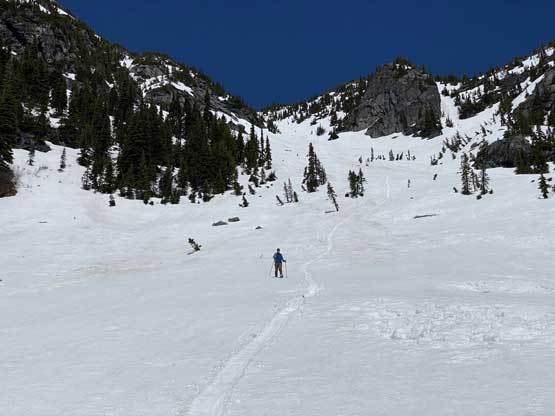
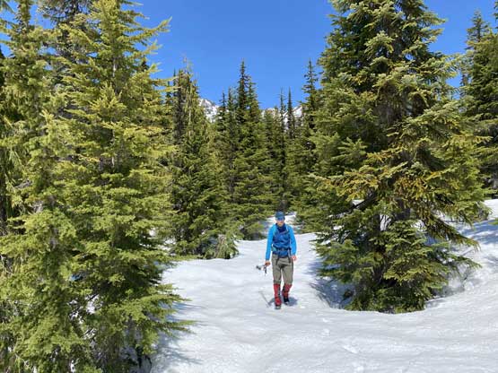
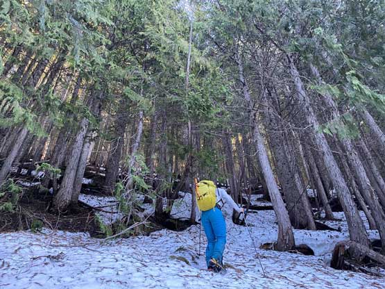
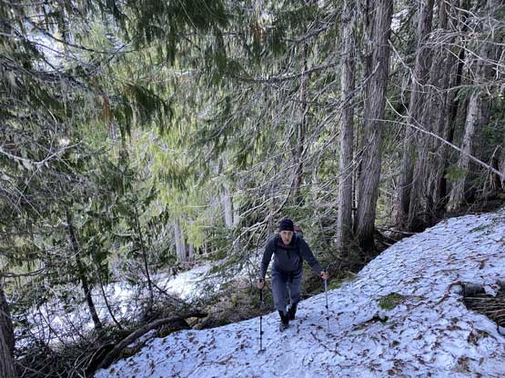
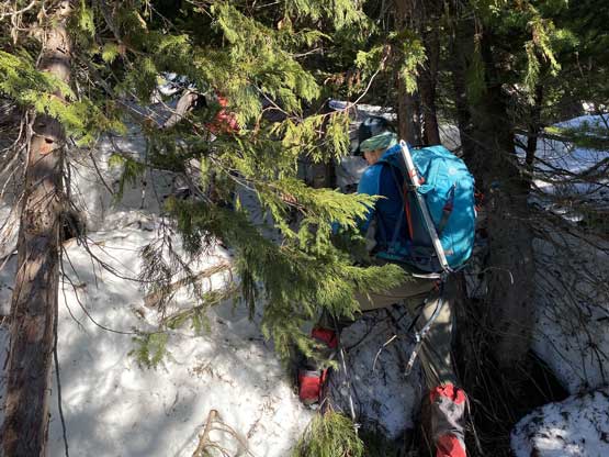
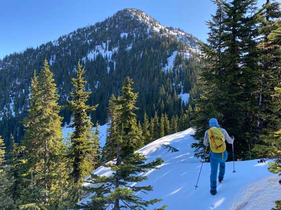
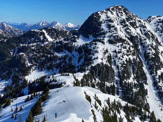
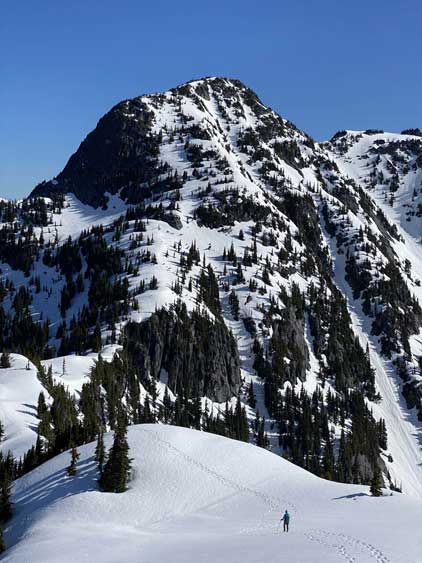
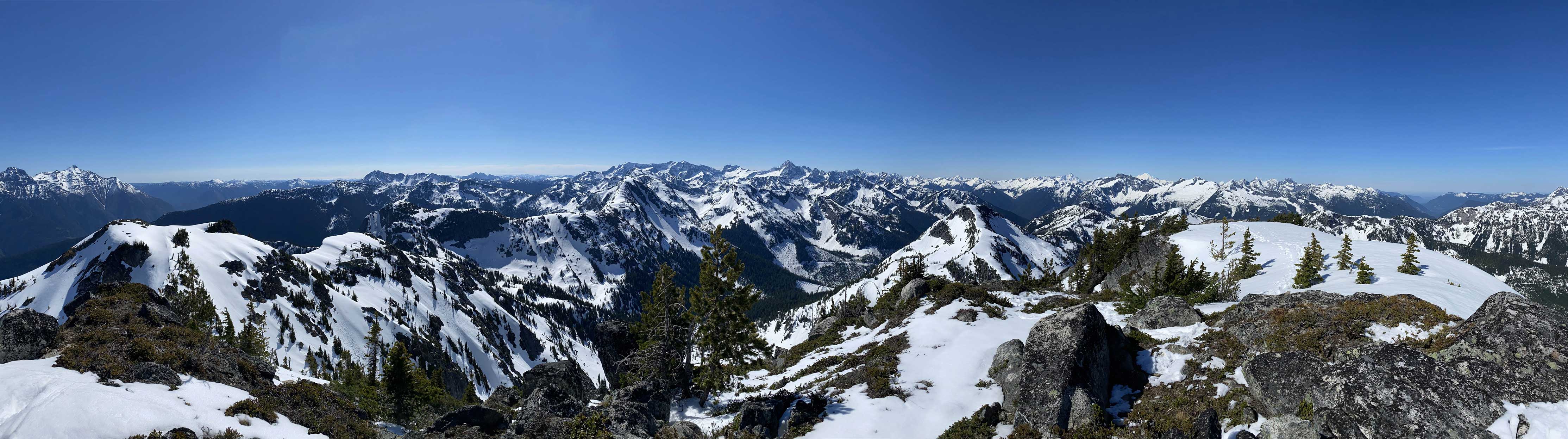
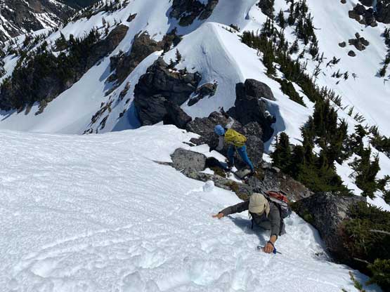
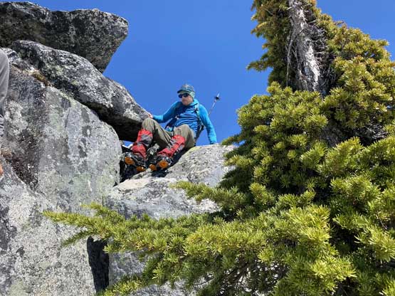
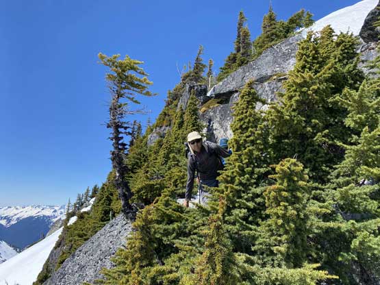
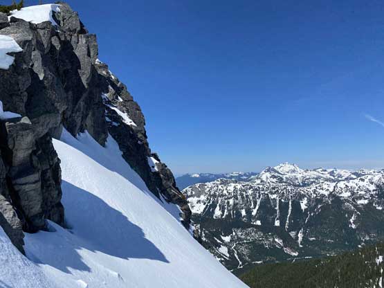
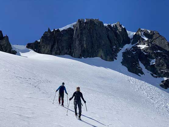
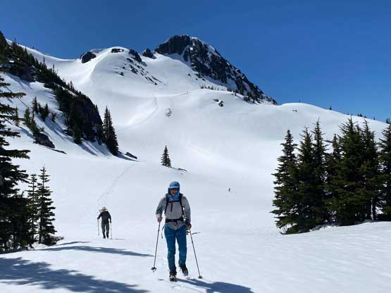
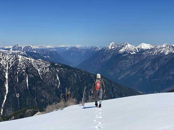
In short time we were at the TCT trail-head. We only followed the trail for about 10 meters before bailing into the forest. There was some light bushwhacking while ascending the secondary growth forest but the snow coverage had largely eliminated any real whacking. A few hundred meters of gaining later we were in the old growth and the bushwhacking had ceased to non-existing. About 200 vertical meters under the SW Ridge of the south summit we encountered some bluffs. Vlad led us traversing climber’s left into more bluffy terrain but again, with the abundant snow coverage and the consolidated conditions the going was straightforward. Once hitting the ridge we rejoined Duffy and Ashkan’s foot prints. Ascending the SW Ridge of the south summit had some steeper spots and because of the firm conditions we were forced to don crampons about 100 m lower than the top. The view from this south peak was already gorgeous so we took the first break there. On the other hand, the drop to the col seemed substantial.
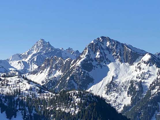
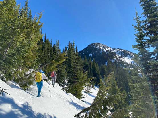
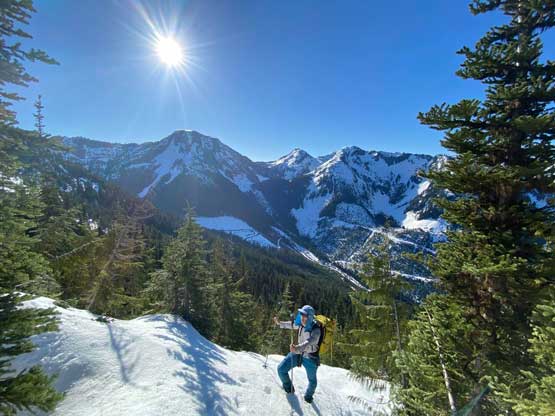
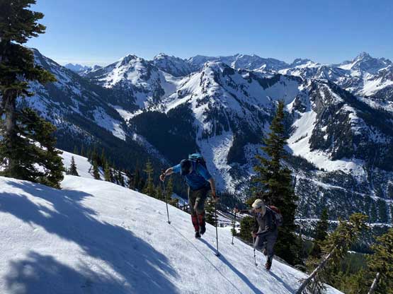
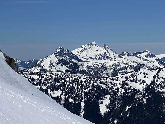
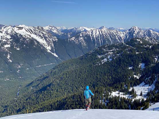
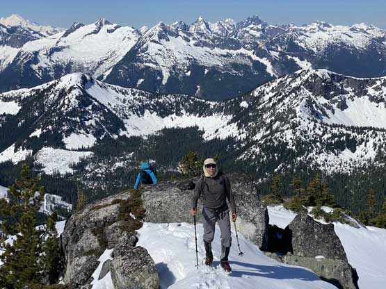
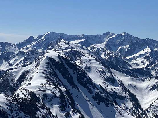
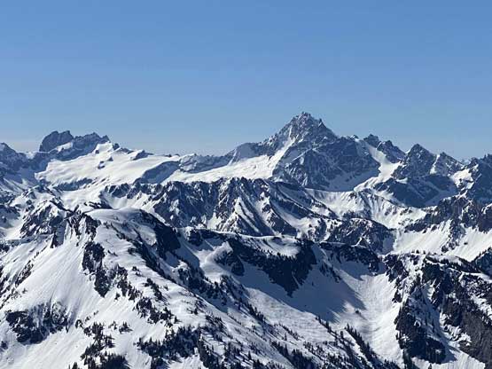
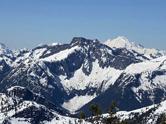
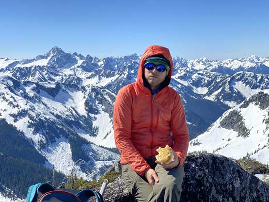
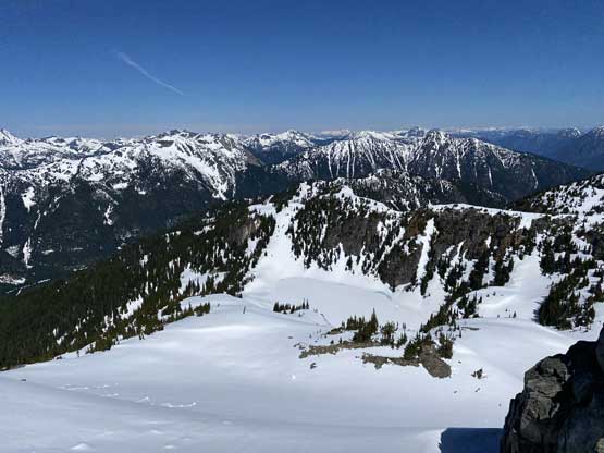
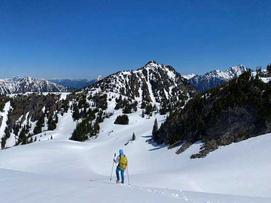
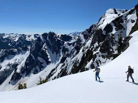
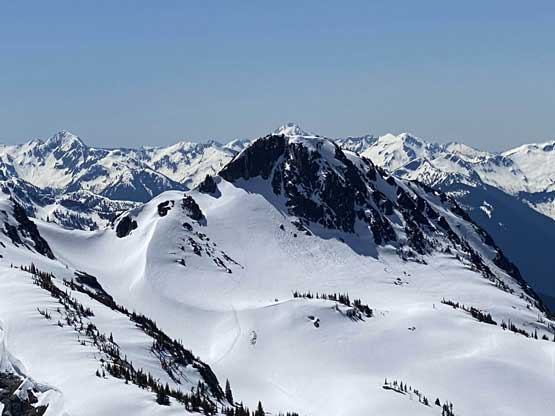
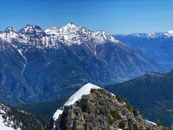
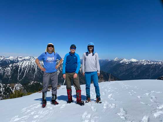
On the connecting ridge between the south and the main peaks we had to be careful about cornices but again, thank to the foot prints we didn’t really have to do any route-finding. The tracks split once gaining the south ridge of the main peak but I had words from Duffy that we should take their descent tracks sticking on the ridge crest. There were sections of moderately exposed steep-ish snow but nothing really worth-noting. The summit was calm and warm and we lingered for at least half an hour soaking in the views. It had only taken us 3 hours to get here from the truck such that Vlad was keen to extend the trip one way or another. For me, the objective’s done at this point so I just wanted to go home saving energy for the next day, but I wasn’t too opposed to explore so reluctantly agreed. Vlad mentioned “Custer Ridge” but on my topographic maps the name “Custer Ridge” is labelled across the entire stretch from Klesilkwa Mtn. to Thompson Peak with the highest point being on Thompson Peak, so I couldn’t just claim the bump in the middle as “Custer Ridge”, so I was not very interested in that plan. Vlad’s second suggestion was the north peak of Klesilkwa Mtn. and that actually caught my interest as it appeared just as high, if not higher than the peak we were currently standing on. This could well be another peak with ambiguous true summit location so to be sure we could definitely claim this peak I agreed that we should ascend both. The north peak is also a rarely-ascended one.
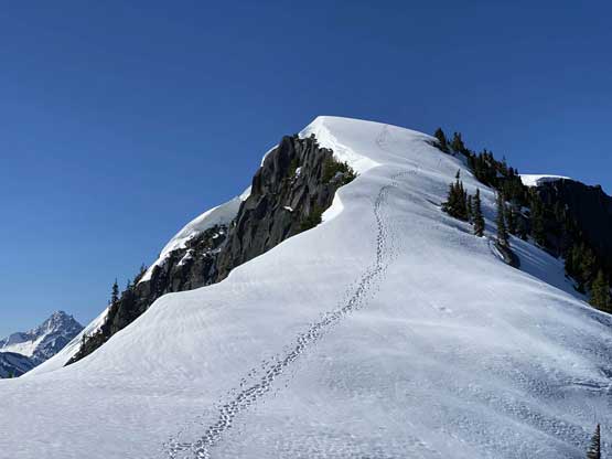
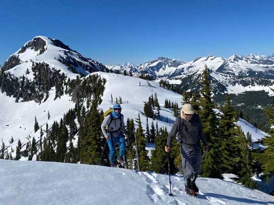
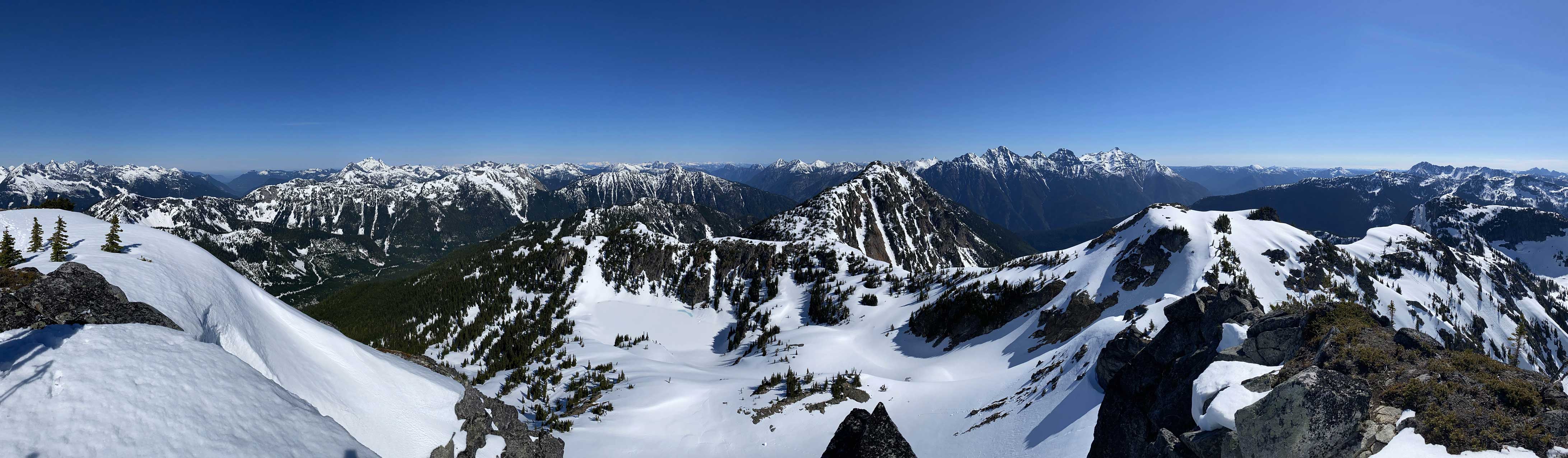
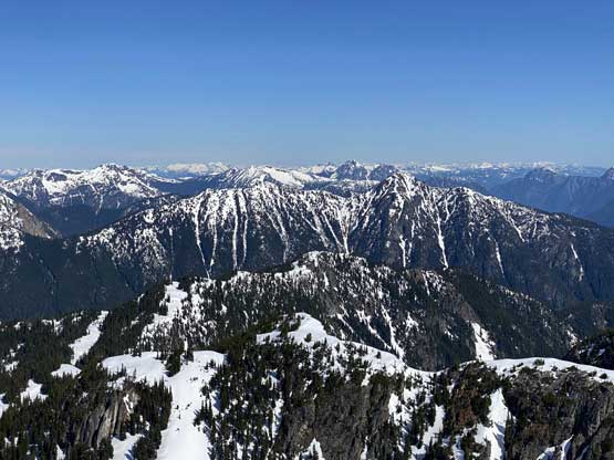
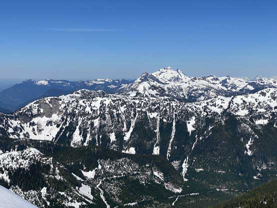
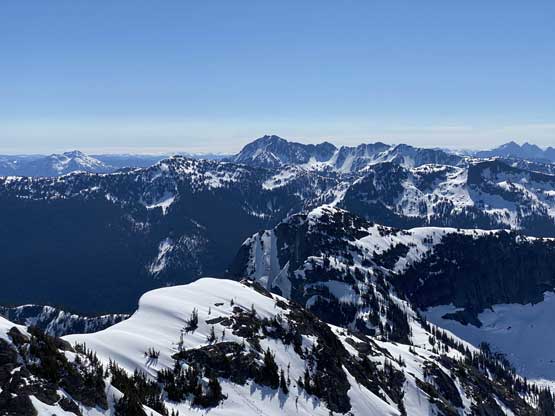
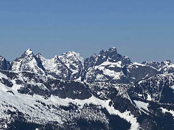
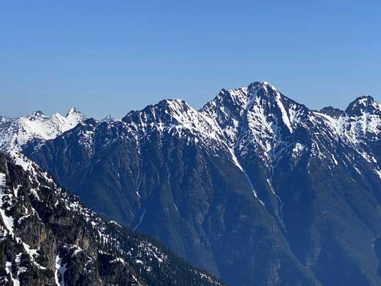
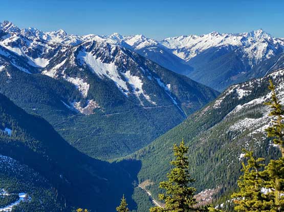
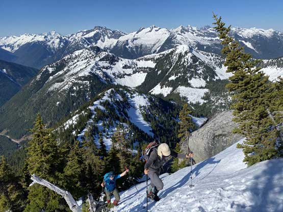
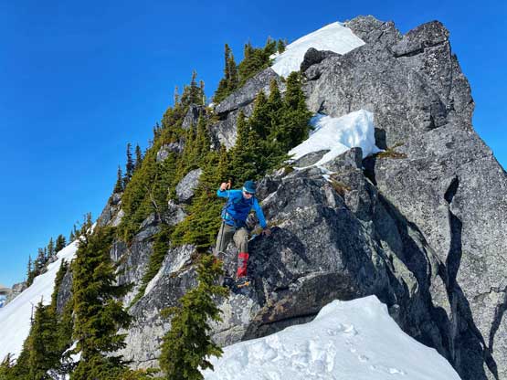
The challenge of the traverse to the north peak was the East Ridge descent. I had seen reports indicating possible “class 5 crack climbing”. Whether that’s true or not, I was not expecting an easy descent. On the other hand, the questionable spot was only 20 vertical meters lower than the summit so there’s nothing to lose to at least check it out. It turned out that we did have to down-climb a tricky 4th class step and then jump another step. The May snow coverage had definitely eased the technical difficulty. Ascending the step that we jumped down could be challenging, had we taken the opposite loop direction. The descent down to Main/North col was without event and the plod up the south ridge of the north peak was rather dull and uninteresting, but the north peak did offer some different perspectives of the nearby areas, so definitely worth the visit.
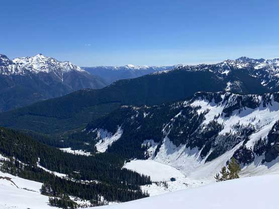
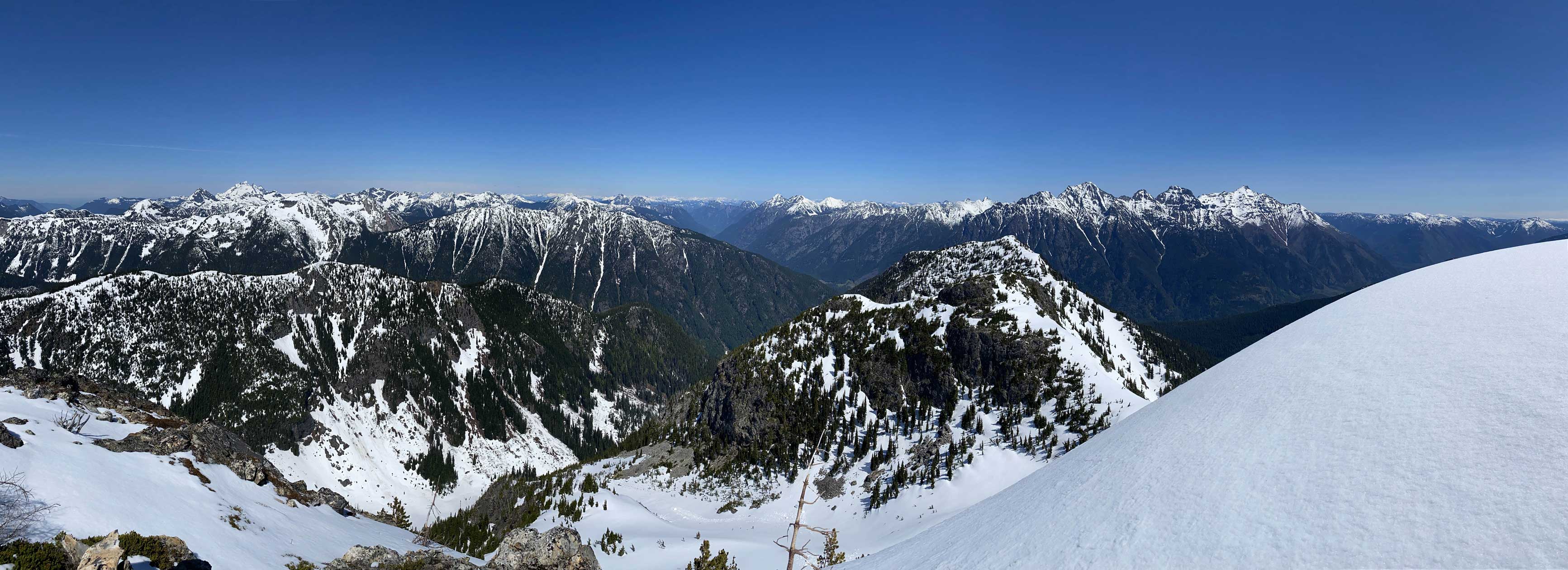
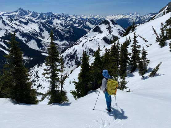
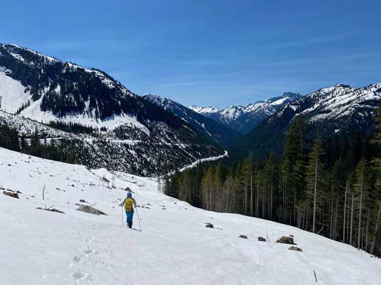
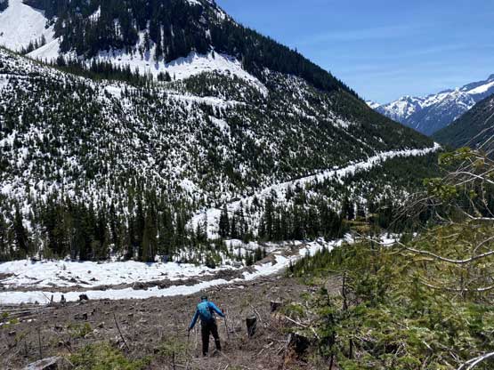
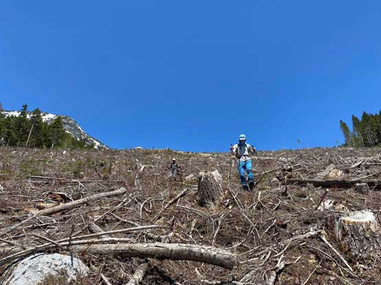
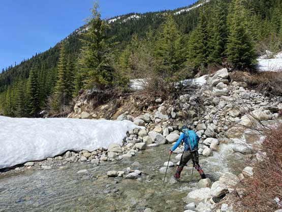
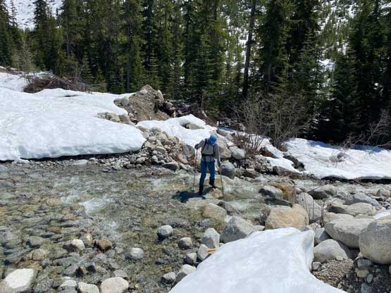
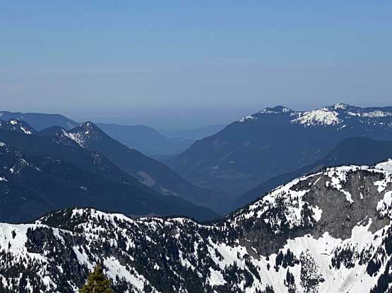
The slog back to the east ridge shoulder on Klesilkwa Mountain’s main summit took a while but then the long plunge/glissade down the south side gully was very enjoyable. I had come here with another set of GPS track for this other approach option so at this point, all we needed was to follow that track out. At one point we did have to cross the main creek to the east side. We chose to cross it higher up so that we could use solid snow bridges. Lower down we popped out onto a large clear-cut area discovering occasional waist-deep weak-spots. The logging roads had been pushed higher than I thought up in this valley. The rest of the return following this logging road was rather uneventful. While driving down Chilliwack Lake FSR and the Chilliwack Valley Road I got to see in-person what’s meant by the “long weekend gong show”. The volume of the traffic was speechless.