Sierra Blanca Peak (NM)
March 31, 2022
3649m
Alamogordo, NM
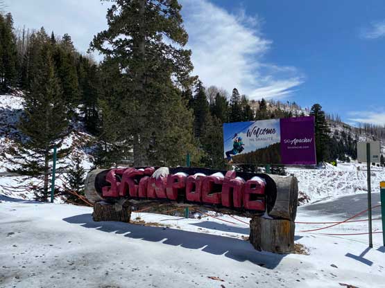
“Sierra Blanca” is another common name in Spanish-speaking regions. In English this means “White Range”. This peak is the most prominent, and the only “Ultra” in the state of New Mexico. The ascent is very straightforward from Ski Apache via the class-2 north ridge. The access logistics can be complicated when the ski resort is in operation so the trip is better done when the resort has shut down for the season, usually from “spring break” onward.
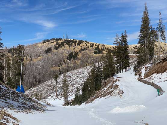
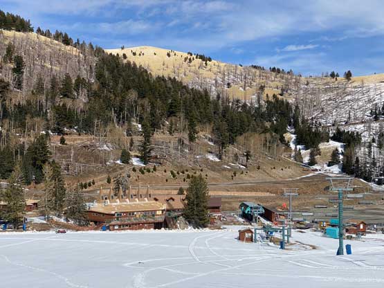
I made a spontaneous decision to drive close to 1000 km from northern Colorado to southern New Mexico to escape the wintery weather. Among the five days I planned to stay in Colorado three days had bad weather so to maximize the use of my vacation time I decided to drive a long ways southwards back to the deserts. Sierra Blanca Peak is technically not in the “desert” because of its elevation but it’s the most prominent peak in New Mexico so I had to tag it. A quick search showed the ski resort had already closed for the reason, so that was perfect. I only made to the state border between Colorado and New Mexico the night before due to exhaustion so I still had a long ways to go. I made a stop in New Mexico’s Las Vegas for breakfast and gas and resumed southwards onto some state roads. The driving was easy but boring. Eventually I started to see the white-caps of my objective and the final hour of driving was on some winding and steep, but paved roads. I made to the closed resort at noon and ate a can of Progresso for lunch.

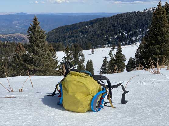
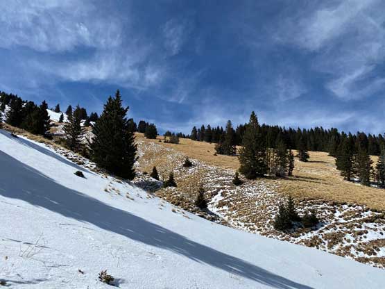
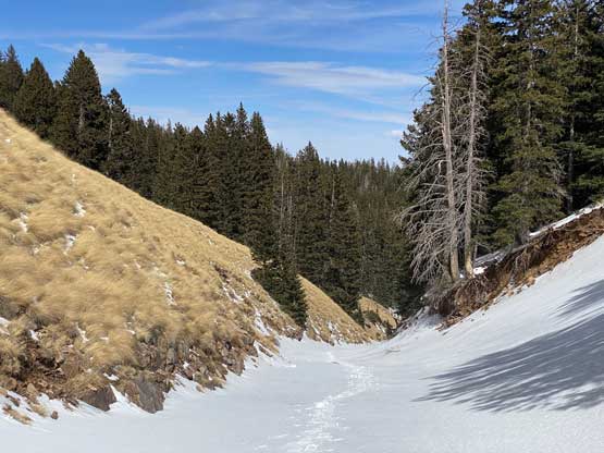
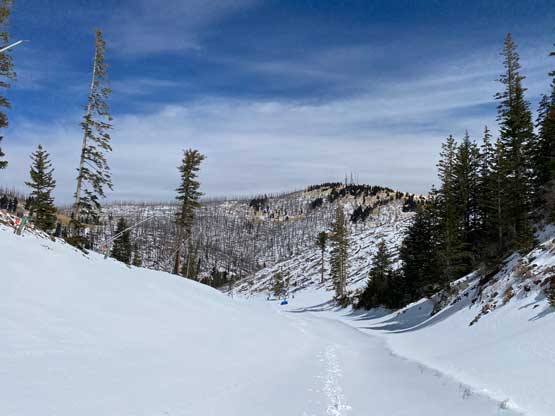
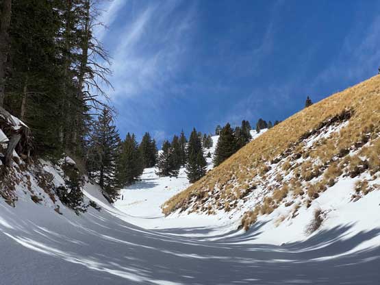
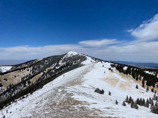
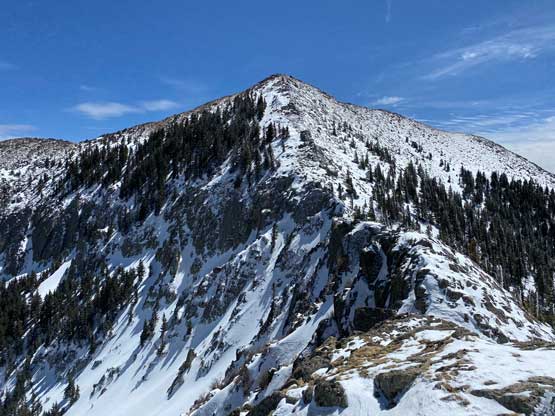
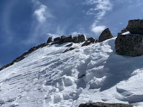
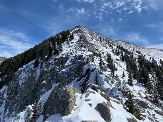
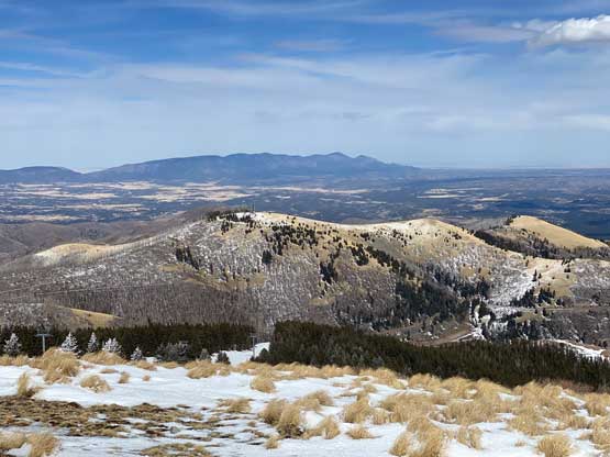
The ski runs looked very white so I decided to carry the snowshoes which was a good choice. Most ascents were done via some contrived trail system to the north of the resort but I liked to make my own route by aiming directly towards the summit. The resort has closed for the season so why not just snowshoe straight up the ski runs… I picked the line that I thought was the most direct and in about an hour I made to Apache Bowl where I easily ascended onto the north ridge of Sierra Blanca Peak near Sierra Blanca/Lookout col. The upper route appeared bare so I ditched the snowshoes and donned layers. The wind from the west was quite cold.

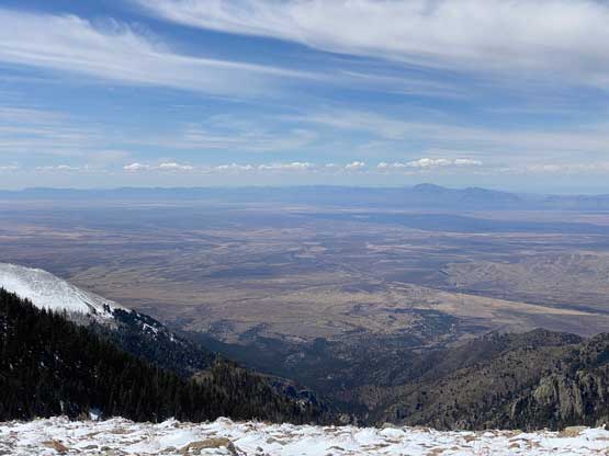
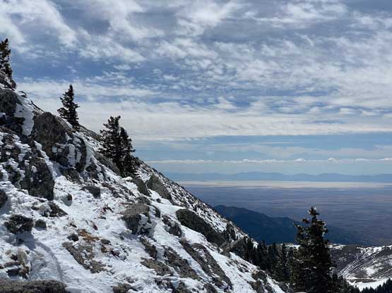
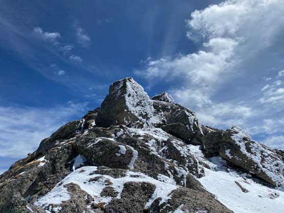
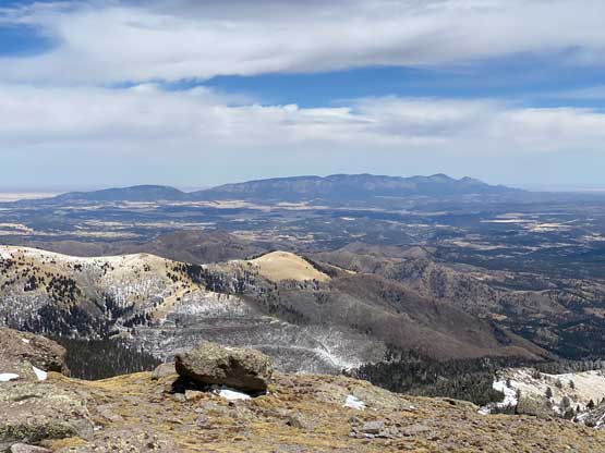
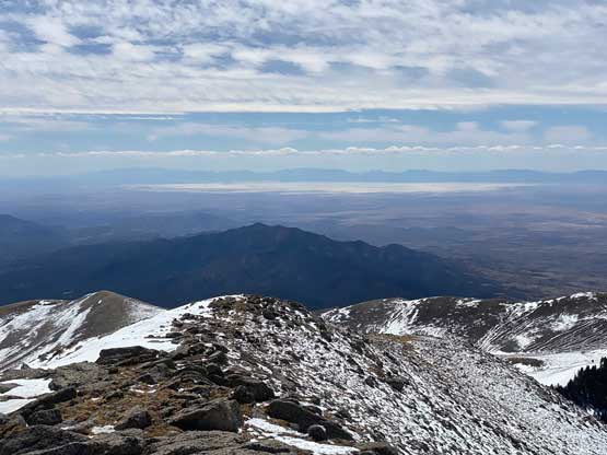
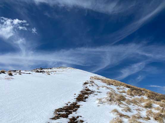
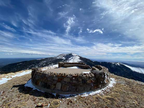
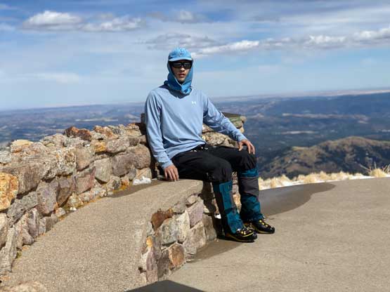
There lower north ridge was a bit of a slog but before realizing I was already staring at the narrow stretches. The crux section appeared daunting but turned out no harder than class 2. I could mostly just stay on the ridge crest with small detours to the right (west) side here and there. On the final 100 m ascent to the summit I again, tried to mostly stay on the ridge for some fun scrambling. The summit was very spacious and surprisingly not windy and cold, so I lingered for a while to soak in the views.
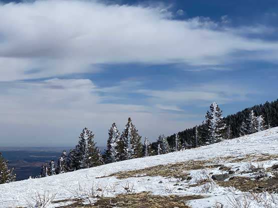

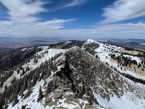
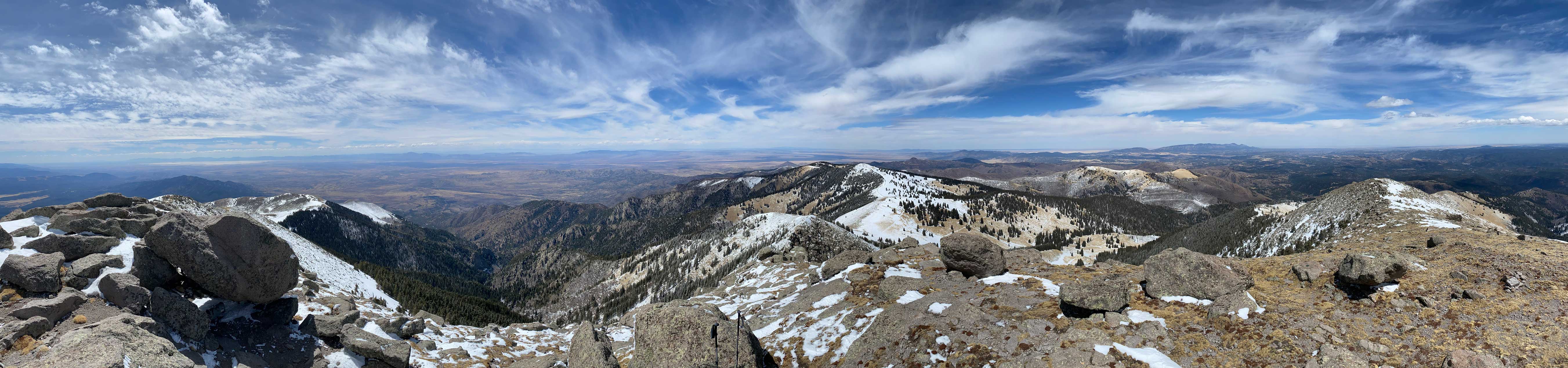
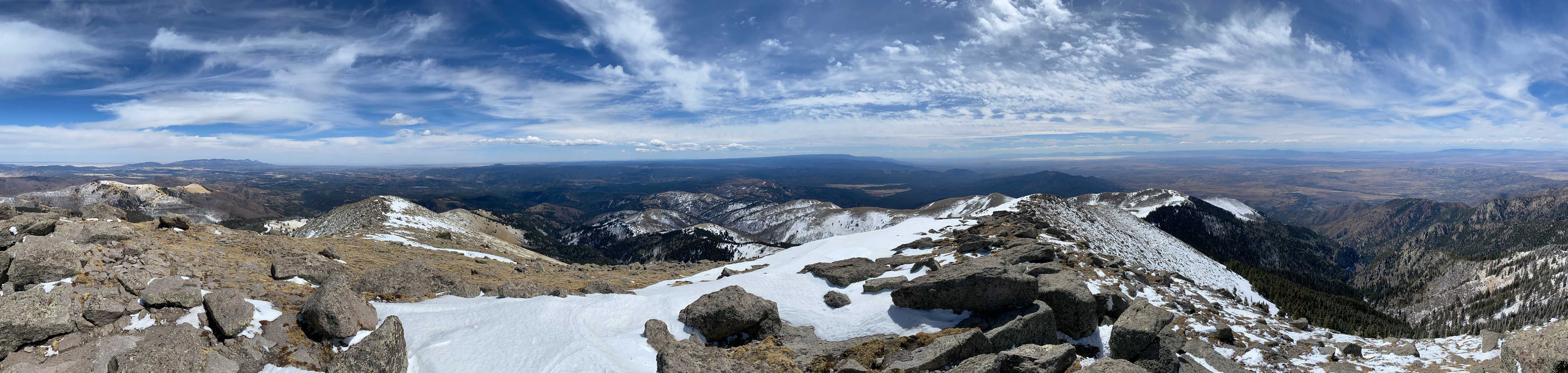
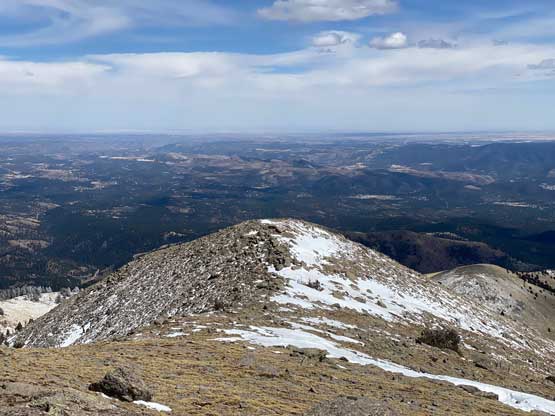


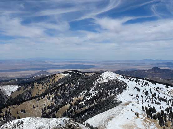
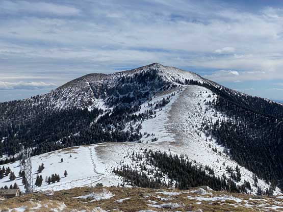
The descent of the north ridge was very easy and in short time I was back to the ditched snowshoes. I picked up the snowshoes and made the decision to slog up Lookout Mountain for completeness. I really wanted to just go down and have some spare time to explore the city of Alamogordo, but Lookout Mountain is both officially-named and prominent enough to qualify a separate summit, so I was obligated to bag it. I ditched the backpack when I had only 80 m more elevation to gain and easily slogged to the summit. The views were better than expected so this detour was overall not that much of a “dumpster dive”…
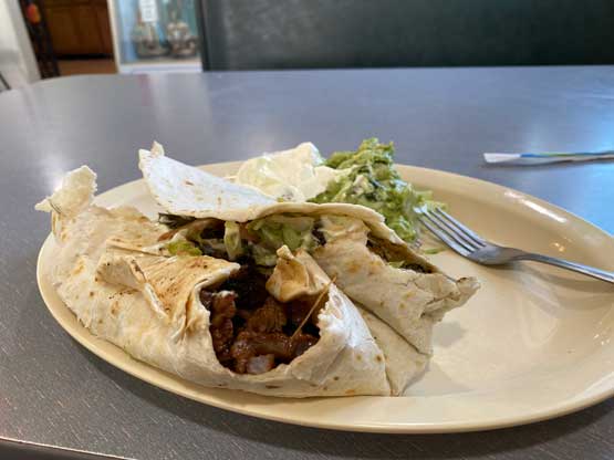
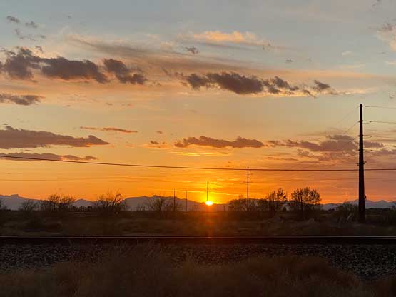
After picking up my ditched backpack I went for a short-cut to descend straight down Apache Bowl. I was able to just boot-pack and post-hole but there was one stretch that I needed the snowshoes lower down. Nearing the end I took the snowshoes off again and jogged back to the car. Not doing much lingering at the parking lot I immediately turned on the engine and drove down to Alto and then Alamogordo. I suspected the Mexican food would be great, so I directed the bearing to a local Mexican restaurant and it sure was not disappointing. I finished the dinner at sunset and drove another hour to Las Cruces and found another free camping spot for my next objective, Organ Needle.