Mount Delphine and Mount Peter
July 5-6, 2026
3406m
Radium Hot Springs, BC
There are 9 11,000ers in the vicinity of Farnham Creek in the Purcells and Mt. Delphine and Mt. Peter are two of those. I had been looking to get into this area for years but most of my partners weren’t keen on the longish drive or were busy with the Canadian Rockies 11,000ers. This was no longer the case in 2026 as a few months go Haldan Borglum messaged me if I would be interested in some of the Purcells 11,000ers and the answer was definite. That was before he finished the Rockies 11,000ers while setting a new speed (2 years) and age (26 years old) records. Fast forward to July I spotted a primary window. A recent MCR post by Mark Klassen confirmed that the conditions would be prime for Mt. Delphine and Mt. Peter so these were the ones I was looking at. Given the superb overnight freeze we probably should have gone for the Jumbo Group but I had ever been to this area and it’s never a bad idea to start with some easier ones. Meanwhile I convinced Erica to come along so I wouldn’t be doing the long drive by myself.
Mt. Delphine seems to have multiple routes and approaches but over the past decade the “beta” has becoming clear, that the NW Glacier should be the standard/easiest route providing there’s sufficient snow coverage, which should be the case in “early July”. The approach shares the same trail as Mt. Peter’s SW Ridge and the two peaks can be easily combined by making a camp in the valley around 2500 m elevation. This camp unfortunately has no flowing water which we weren’t aware, but fortunately we brought enough fuel to melt snow. Erica and I opted to bring almost everything in the vehicle and the final decision would be made at the trail-head. We left home in the previous evening and to break the drive I suggested that we should tag a P600m objective along the way, which turned out to be Silwhoiakun Mtn. in the vicinity of Kamloops. The next morning we resumed the eastwards drive and lost an hour after crossing Rogers Pass. The weather was mostly cloudy with sporadic showers, as forecasted, but after turning south down the Columbia Valley the rain had stopped. We met Haldan in Radium Hot Springs at 4:30 pm and decided to drive two vehicles to the trail-head. This would give us some flexibilities since Haldan had some work commitments and to make that work the trip needed to be done at a reasonably fast pace. I wasn’t sure if we were able to keep up with Haldan’s pace so that’s why we wanted to have two vehicles. The FSRs took 1.5 hours each way but were generally in a good shape. The last kilometer on Farnham Creek FSR was rough but Haldan managed to drive his 2WD sedan up there, so how bad could it be.
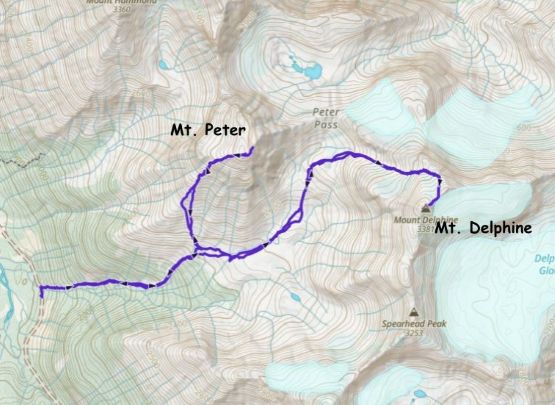
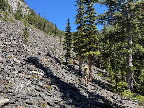
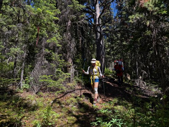
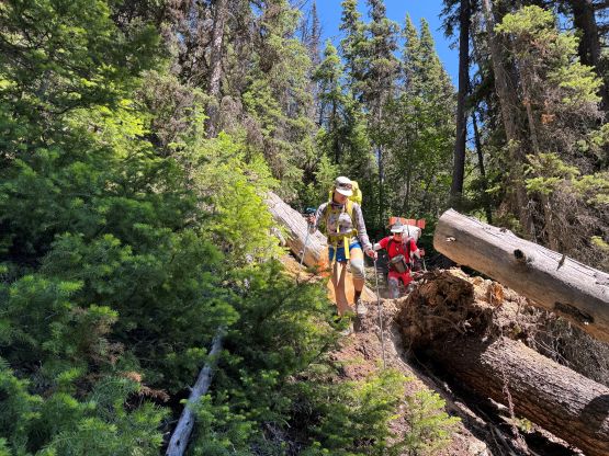
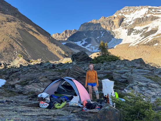
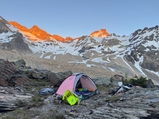
Erica’s knees were still recovering from some overuse injuries so we decided to make the camp up in the valley to break the mission into two days. In retrospect these peaks are definitely “doable” in one long day by fast parties. In terms of the gear we opted to bring one 30-m rope, two ice tools each and steel crampons. I was unsure about how steep/icy the conditions would be up on Mt. Delphine so it was better to have some contingencies. In retrospect most of these gear turned into training weight, as the glacier was never steeper than 35-40 degrees. The condition was definitely firm and icy though, so the boots and the steel crampons were essential. The climber’s access trail was in an excellent shape but it lacked any form of switchbacks. As a result we gained elevation rather rapidly. The trail gave way to some open talus slopes and there was some minor bushwhacking if one’s not paying close attention to the terrain. We dispatched 700 m elevation gain in just over an hour but it took us a while to find that perfect campsite. I found the previous group’s GPX track in Gaia’s database and I was quite sure where they camped, but I was hoping to find some running water, but to no avail. Haldan even flew his drone and confirmed the negativity of running water anywhere in the vicinity, so we settled at the same site the previous guided party used. The rest of the evening was spent melting snow and taking pictures. By the 11,000ers standard this campsite was quite “averaged” but Erica had never been to the Purcells so the experience was still spectacular. The night was quite cold so I was glad to have the -7C sleeping bag.
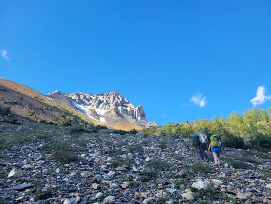
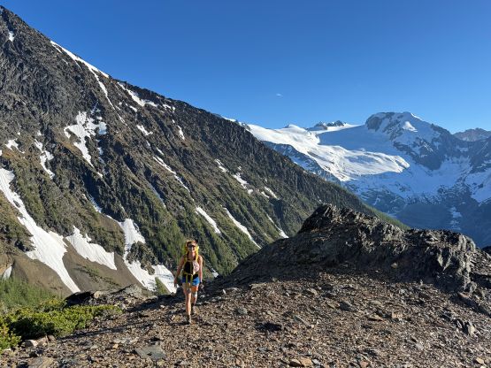
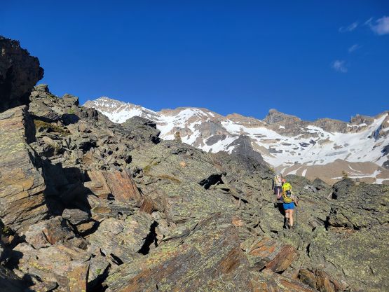

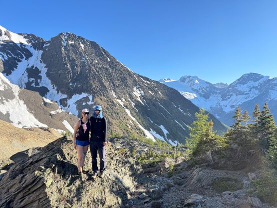
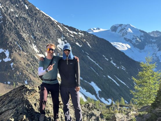
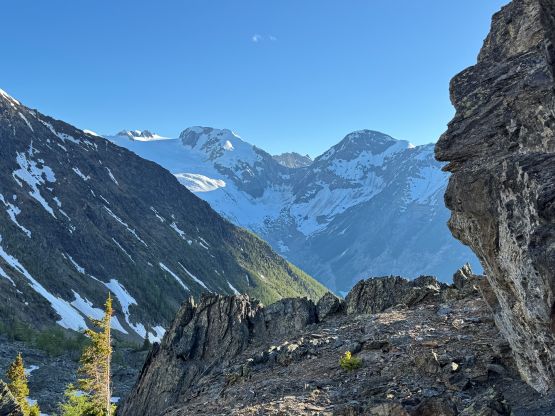
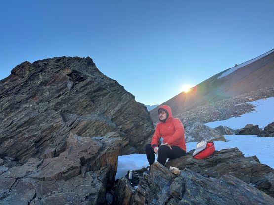
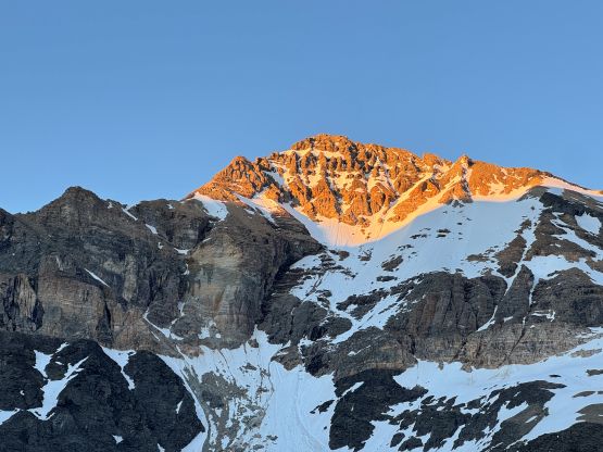
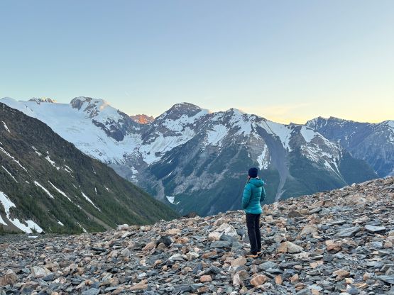
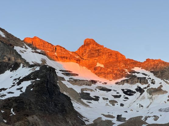
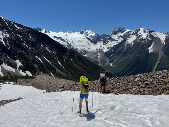
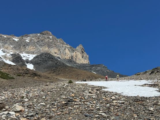
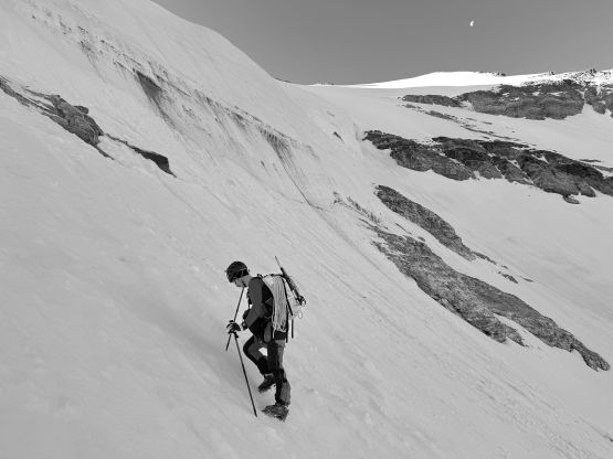
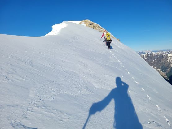
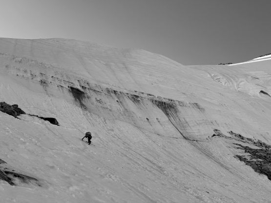
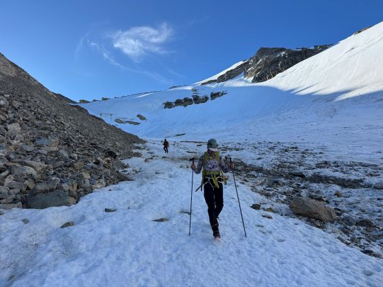
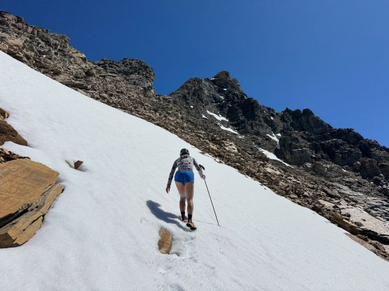
The next morning we got up at around 4:30 am and left camp a little bit later than planned. It was already bright enough to not need the head-lamps so I left mine in the tent. The plodding to the toe of Mt. Delphine’s NW Glacier was decently straightforward but involved some micro-terrain. Most of the plodding was on moraine but there were several patches of snow to speed things up. We all did the approach entirely on the trail runners but donned mountaineering boots and crampons right before encountering the first significant snow traverse. That was below the toe of the glacier. We thankfully found one small stream of running water (most of the water must have gone underground in this valley) and the plan was to load up the bottles on the return. There was still a thin strip of continuous snow on the climber’s left edge of the glacier and the condition didn’t change much since the guided trip a week and half ago. We also encountered skiers’ tracks from either a day or two earlier. I however did not see any post on the social media afterwards so we had no clue who they were. In any case we all donned harness but the rope and the ice axes stayed in the backpacks. None of us felt the need to use an ice axe on 35-40 degrees firm snow and we easily made our way up to an obvious notch on the NE Ridge of Mt. Delphine.
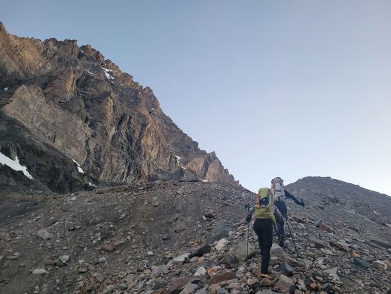

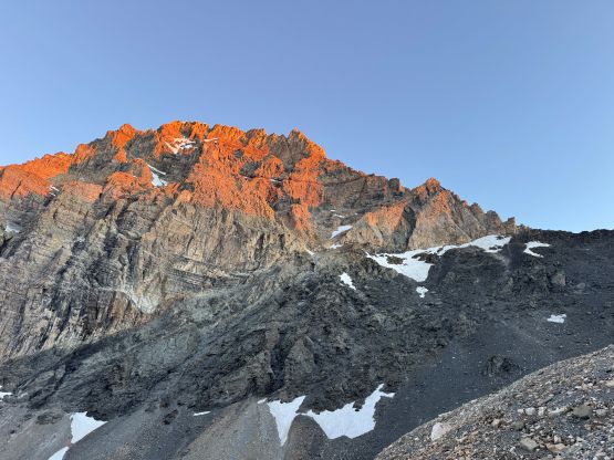
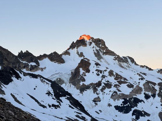
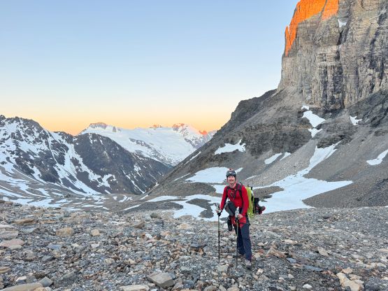
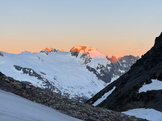
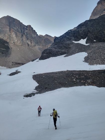
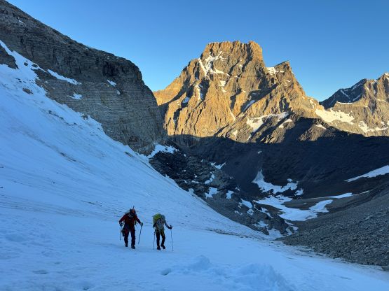
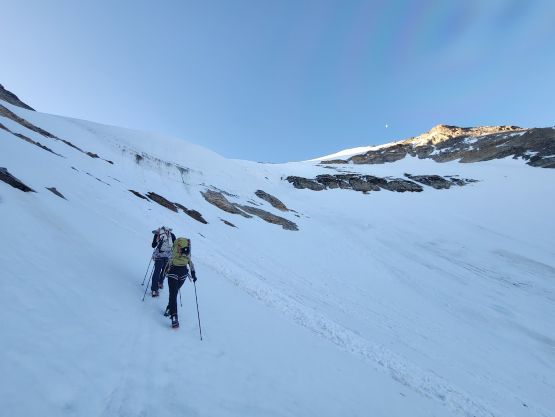
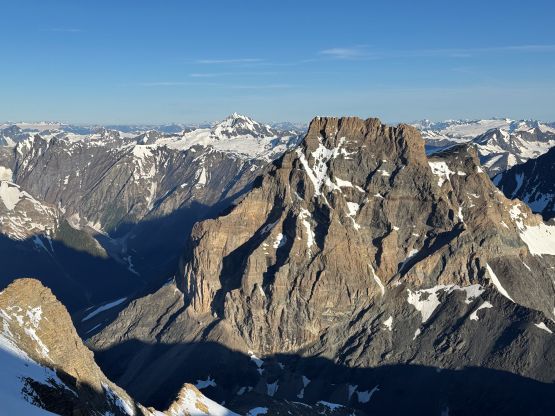
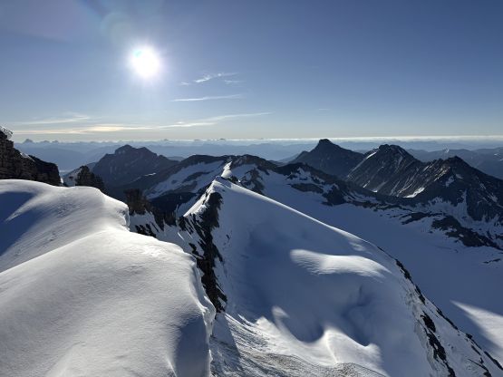
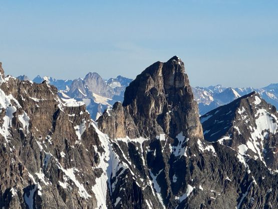
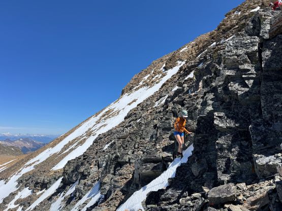
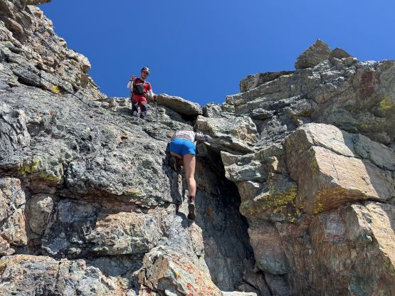
It was here that the route finally became tougher. There’s one strange step to get out of the notch that involved a few class 4 moves (with crampons), or some 60-degree snow shenanigans. We all took one ice axe but in retrospect I should have taken both tools for simple reasons of why-not. I opted to stay closer to the rocks whereas Haldan and Erica did the snow option. I had seen at least one trip report in which the final traverse to the summit had to be pitched out due to cornices and exposed ice. The cornices were indeed enormous but there’s no ice climbing at this time of a year. The going wasn’t any tougher than what we had just done, and the summit was quickly attained. Haldan did spend at least 20 minutes flying his drone so we had enough time to thoroughly soak in the views.
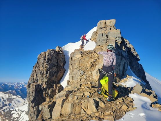
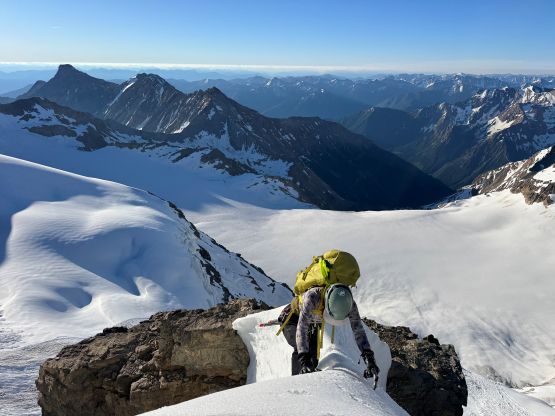
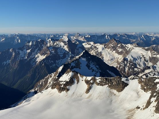
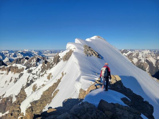
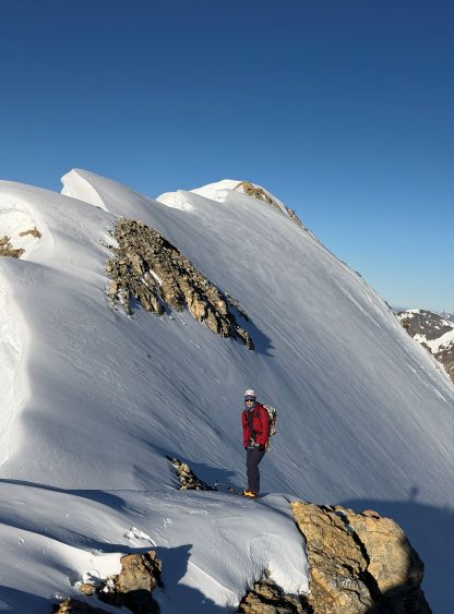
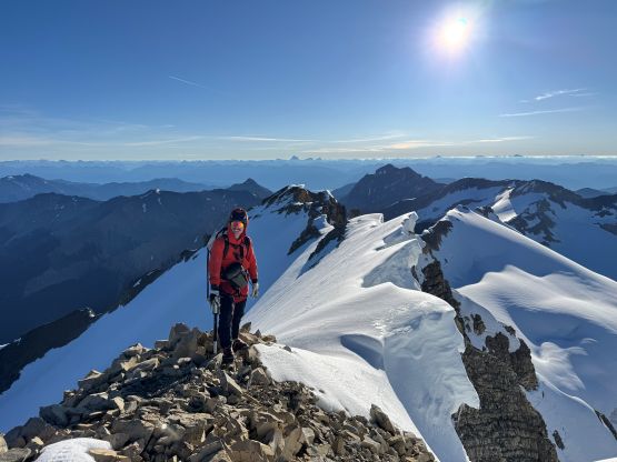
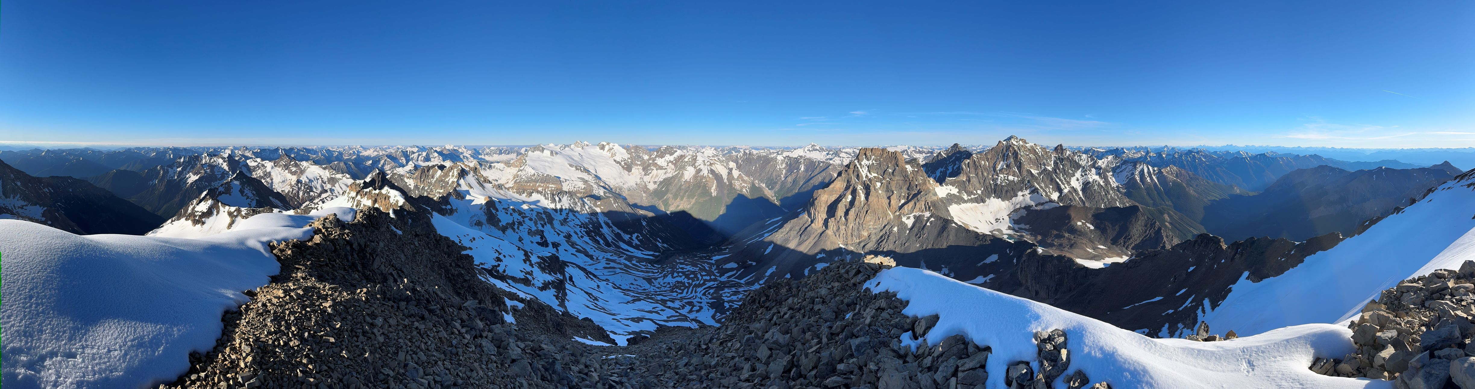
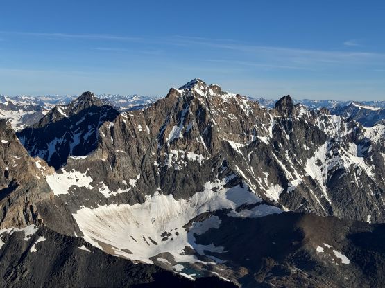
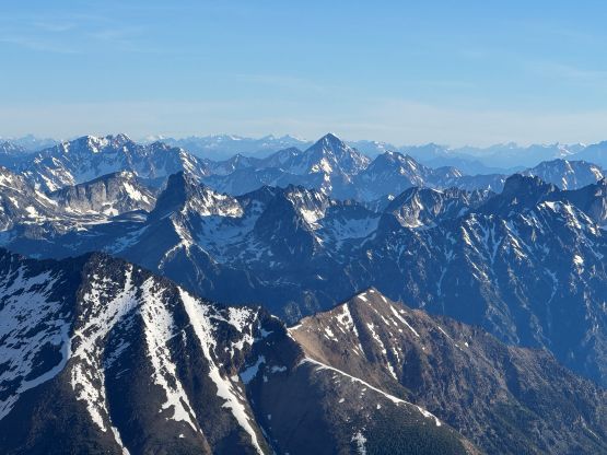
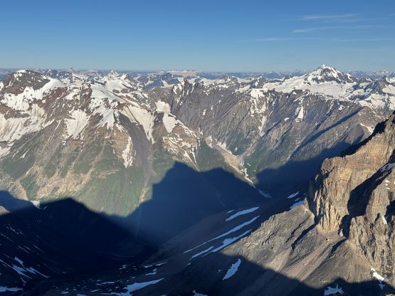
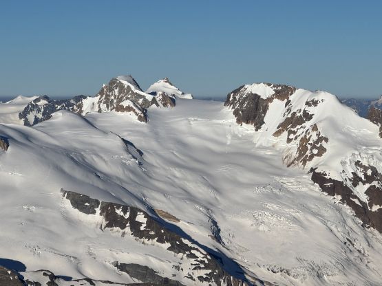
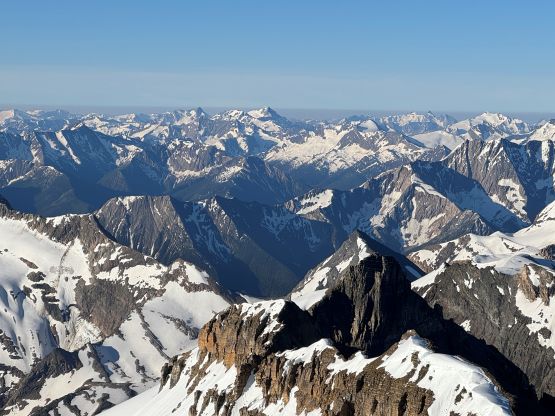
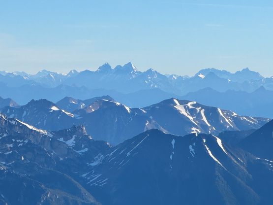
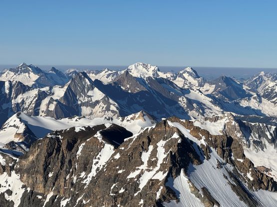
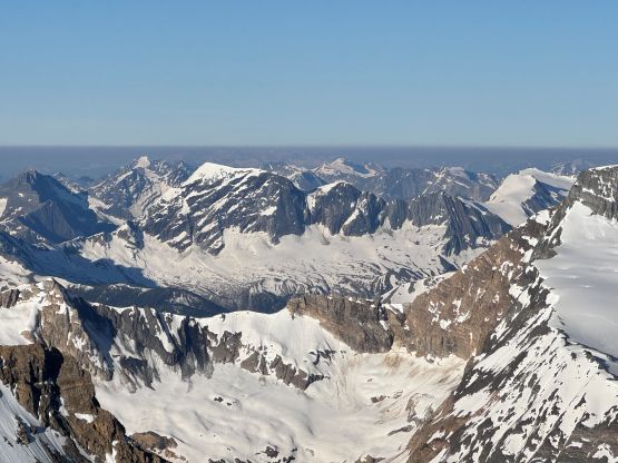

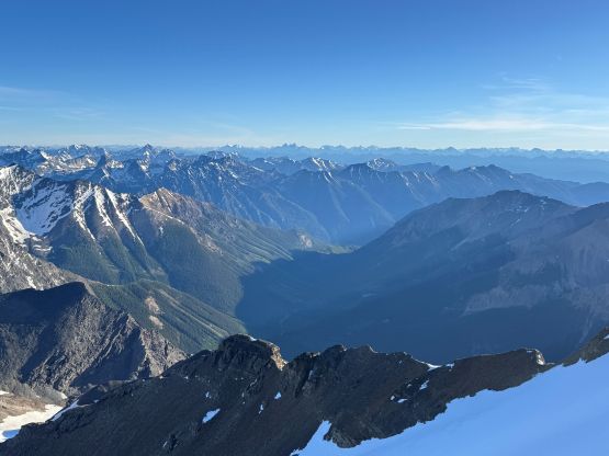
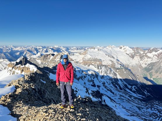
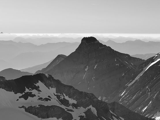
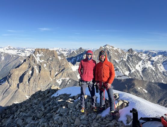
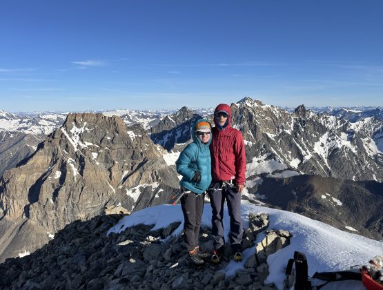
To descend we simply reversed the route but I did take the 60-degree snow variation to get down that strange step. Either way wasn’t too difficult but was not no-brainer neither. Instead of using two trekking poles we opted for one axe and one pole to descend the meat of the NW Glacier and honestly it was very straightforward. In no time we were down to the valley bottom, did one more longish break to swap the footwear and then plodded back to camp. The position of this camp wasn’t making sense for Mt. Peter so we had to make an annoying transition to carry our overnight gear for a short distance to the west to position ourselves for a fast-and-light ascent of Mt. Peter.
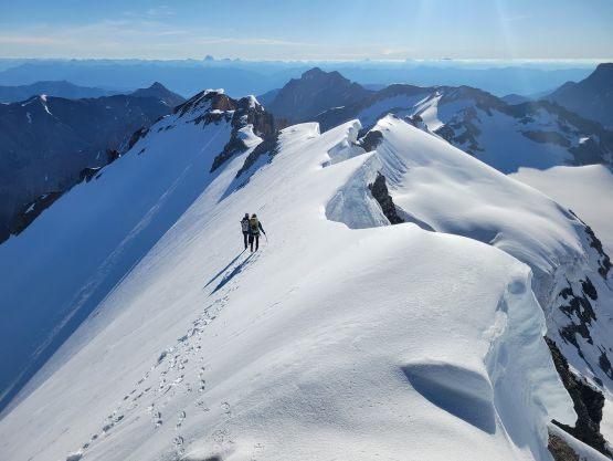
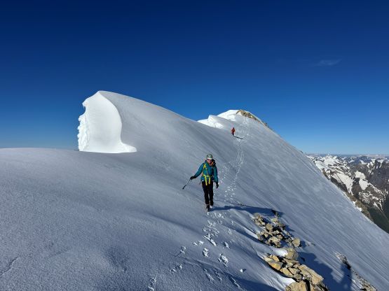
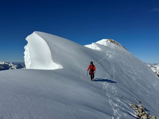
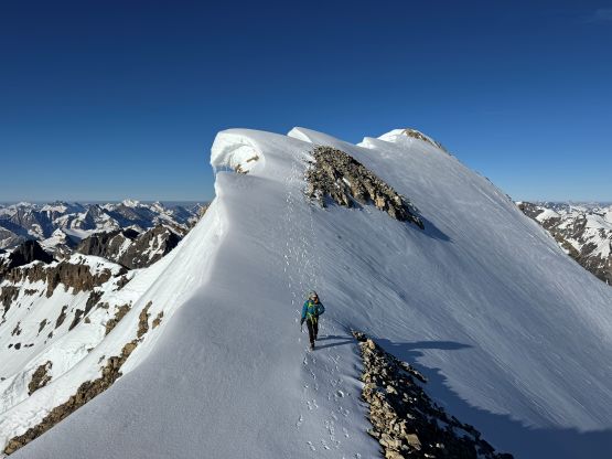
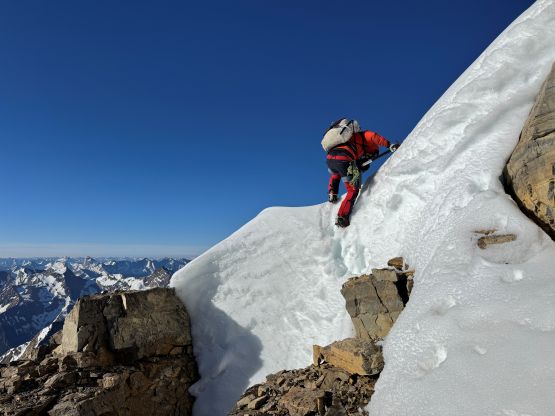
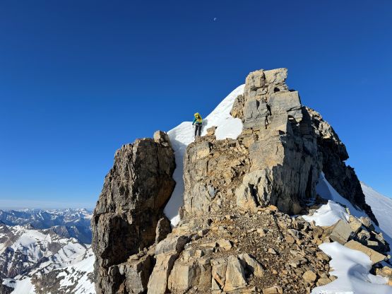
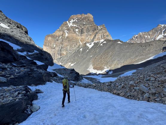
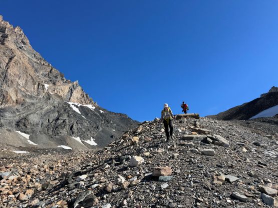
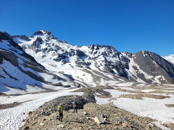
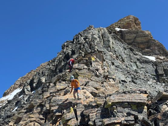
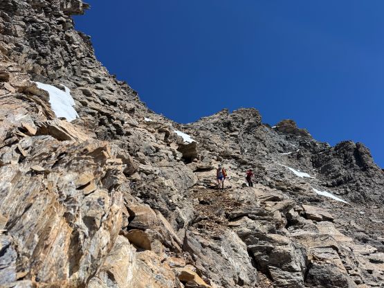
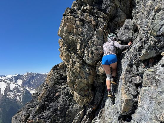
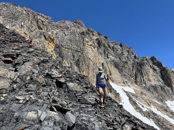
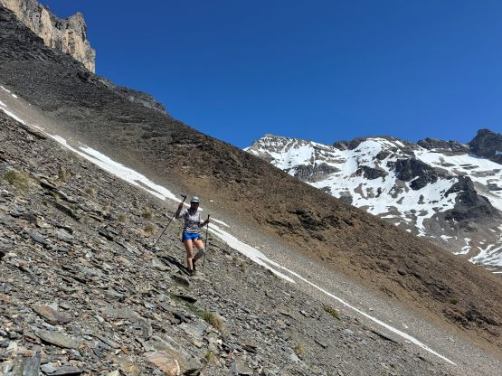
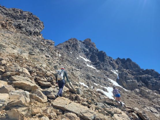
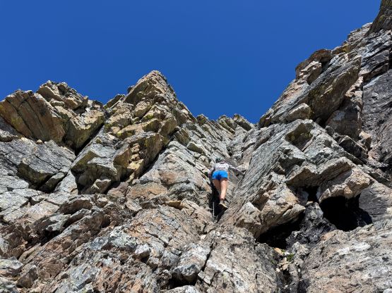
There was over 800 m elevation gain to attain Mt. Peter so again, this was not a no-brainer ascent even though the route would be non-technical. We did ditch most of the gear and among the three of us we only carried two backpacks. Being able to do an 11,000er entirely on trail runners was also a privilege so we all took advantage of that. I had previously downloaded a GPX track for Mt. Peter at least one year ago so I didn’t bother to do much homework. Indeed, for a class 4 ridge route like this our own route-finding skill was more than enough to get the job done. The lower half was a tedious slog on scree and rubble. The scrambling didn’t begin until much higher than I thought, and most of the route was no worse than class 3. We did do a series of class 4 steps but I bet some of those could be avoided if one dares to pay more attention to route-finding. Higher up there’s an option to utilize the snow fields on the NW Face but we felt no need to do that. Instead, we stuck entirely on the SW/W Ridge and the scrambling was quite fun, albeit exposed at places. Haldan and I even went farther but the next high point was definitely lower based on visual inspection.
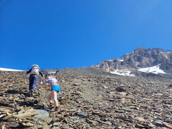
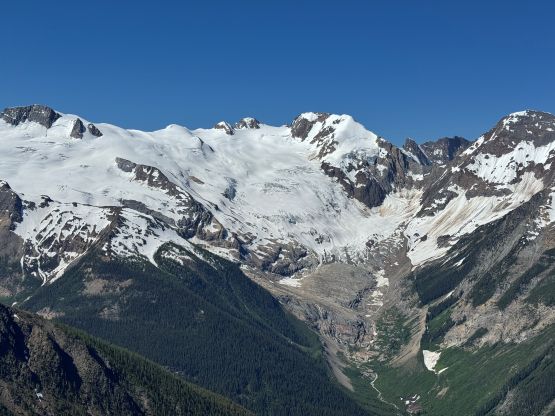
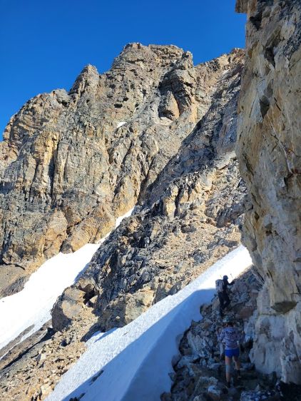
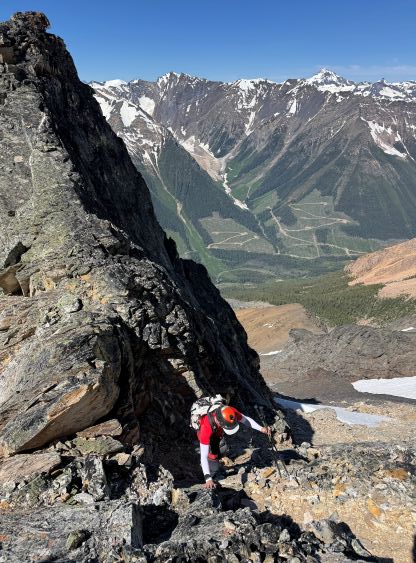
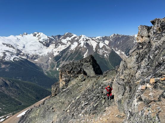
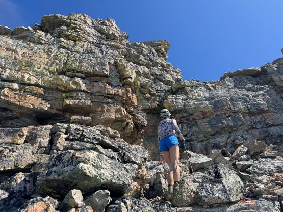


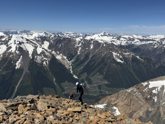
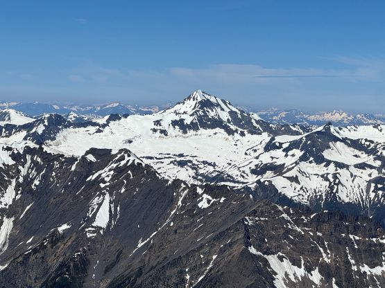
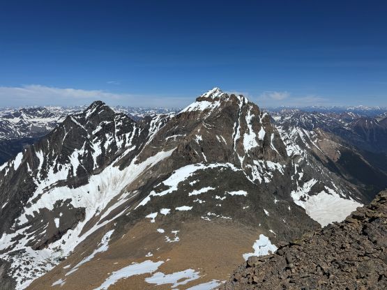
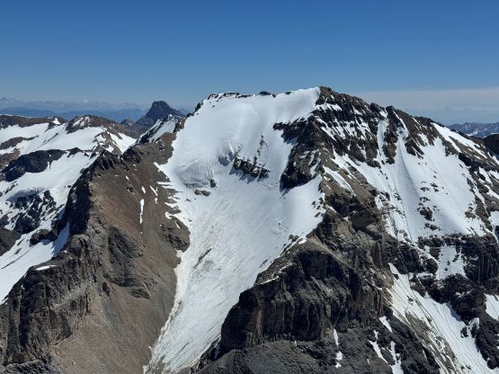
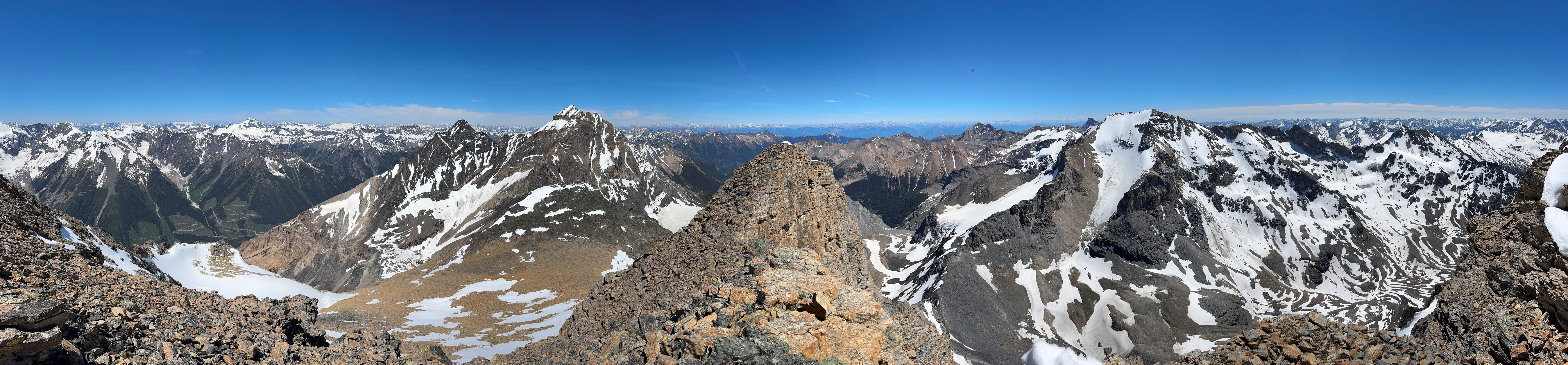
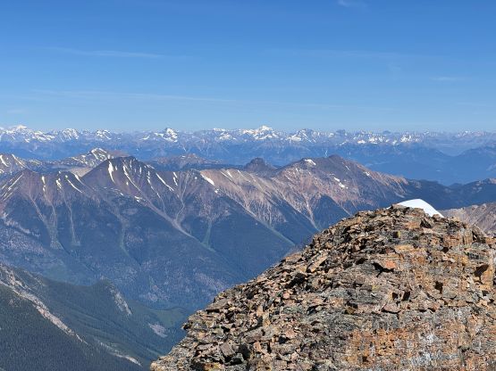
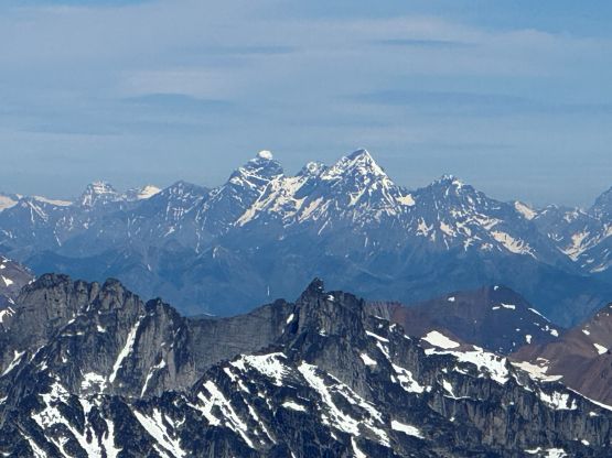
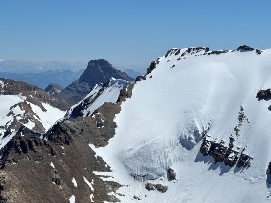
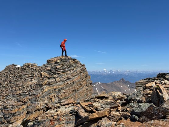
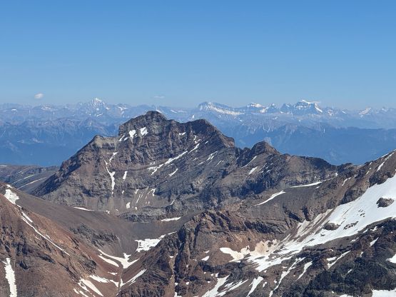
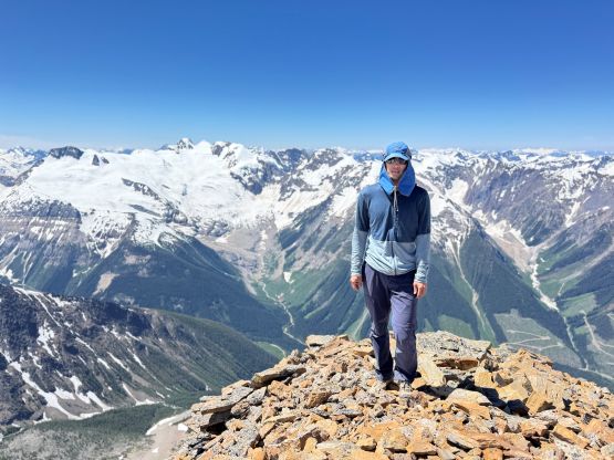
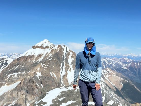
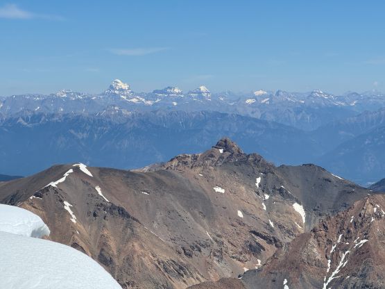
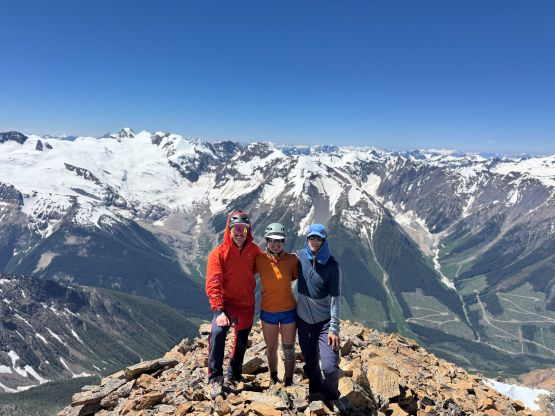
Erica caught some sporadic cell receptions from the main summit and that’s the reason why she didn’t bother to join us for the bonus traverse to the north peak. Anyway we all started descending since we didn’t have much food and water left. I led most of the way down and I think I found the easiest possible way to avoid several troublesome moves that Erica had led on the ascent. We still did several 4th class down-climbs so maybe those could not be avoided, after all. We also took off from the ridge earlier than planned but the descent was on some tedious rubble-fuck. Fortunately that didn’t last forever, as the lower half of that face was on finer scree. We then wasted no time packing and then dashed down to the trail-head. The route-finding was a bit annoying since we wouldn’t be entirely on the trail, but Haldan had that Garmin watch and was able to give me direction from behind without me having to take the phone out 100 times. Our round trip moving time was only 7.5 hours so we totally could have day-tripped them, but as mentioned earlier non of us regretted about the camping experience. Erica and I then took turn driving all the way back to Merritt and we eventually got back home by lunch time on the following day.