Big Sister
August 29, 2015
2940m
Canmore, AB
After the amazing 3-climbs-in-a-roll with Maury and Robb I must realize it’s almost the time to say Goodbye to my playground – the Canadian Rockies… While wondering around Canmore I made the final commitment with Vern and Ben for a short day-trip on my last day in the Rockies (Aug. 31) but that also meant there’s still one more day in between. I could either rest up (what I’d normally do), or bag another peak by myself. I figured I had to push myself a bit harder but I didn’t really know what I actually wanted to do. There were simply too many “unfinished businesses” in the Canadian Rockies even for just the scrambling objectives, so really I just had to pick one and go for it. Looking around I had my eyes on the Three Sisters – one of the icons in Bow Valley and certainly the most photographed peak around Canmore. I hadn’t been up any of them so yes, a short scramble up Big Sister and that’s it…

Big Sister standard scramble route. GPX DL
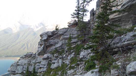
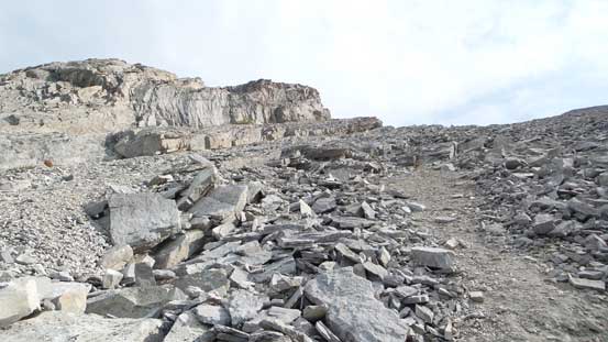
Big Sister looks far less intimidating from its back side. After about half an hour’s drive along the dusty Smith Dorrien Road I arrived at the parking lot by a hydrological dam. My pack felt considerably lighter given it’s nothing but a day-trip scramble. The first section of this ascent went up an abandoned ATV road for a few minutes, then crossed a dry creek bed. There’s a trail on the opposite side of this creek and it ascended steeply up the forested slope. I kept a reasonable pace and after a long while the trail started to get rougher and rougher and I started to encounter a few minor rock bands. At near treeline I noticed a few cairns just to the climber’s right so went to check it out. Following a faint path I descended a bit and came to a short down-climb. After that I was in a big gully system with slabs and loose rocks in. The view was very foreshortening and ascending this gully felt very boring and tedious..
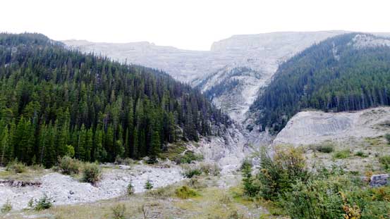
The big gully that I crossed at the start
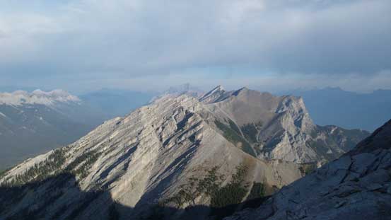
Looking back towards unnamed peaks in Goat Range
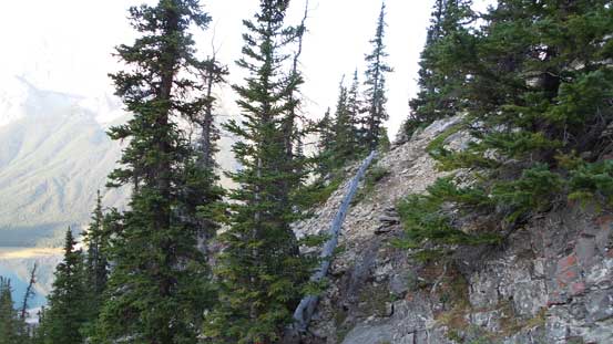
Ascending a rough trail through the forest
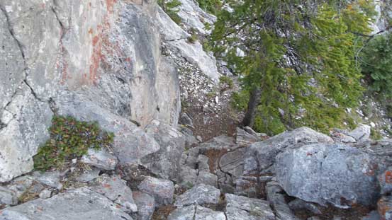
Here came the first down-climb
Looking back at the place where I down-climbed
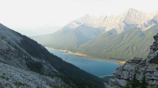
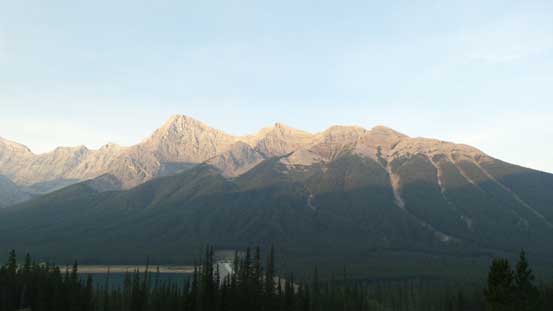
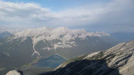
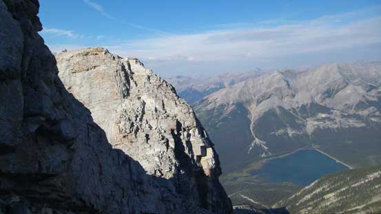
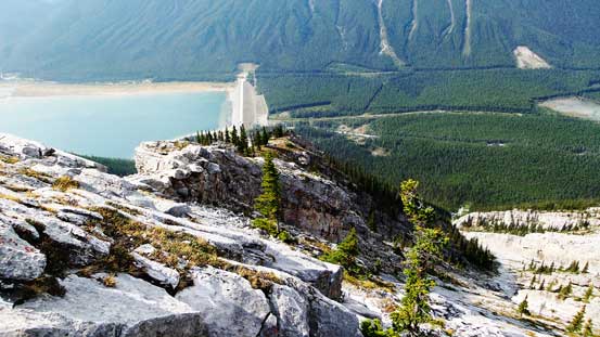
Already good view of Spray Lake now

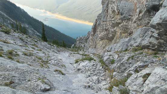
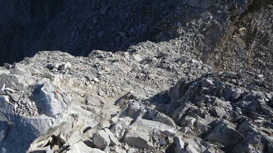
Oh the slabby gully…
Looking sideway across some more slab faces
Further up the gully, looking down
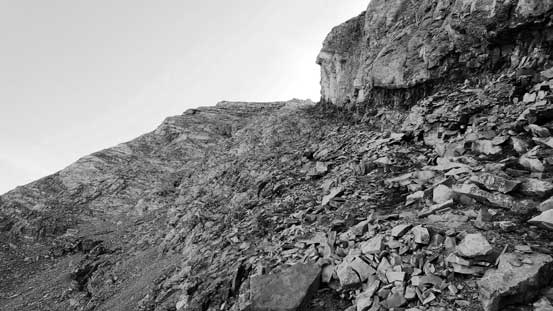
Eventually I topped out of the gully and rejoined the ridge crest. To my surprise there’s still a fair amount of height gain yet, on again, slabby terrain covered by loose rocks. Then came to the crux down-climb. It felt a little bit exposed at the start but there were plenty of holds and I soon made it down (Class 2 or 3), then traversed climber’s left of the series of pinnacles. At roughly halfway up the final traverse I picked up a set of tracks and crossed over to the climber’s right side, and minutes later I arrived at the summit. I could see both smoke and clouds starting to roll in so I made good time (that’s also why I woke up at 6 am to do this easy trip)…
Once rejoining the ridge I could see the north side.
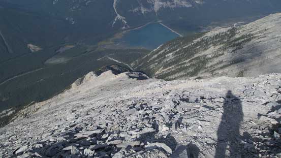
A pond and Goat Range
Here’s the crux down-climb just before the pinnacle traverse
Traversing climber’s left of the pinnacles
Looking back at the crux down-climb

Summit Panorama. Click to view large size.
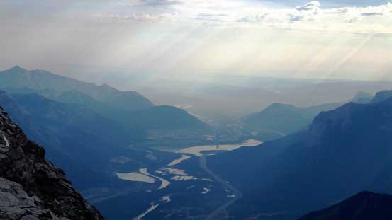
The exit of Bow Valley
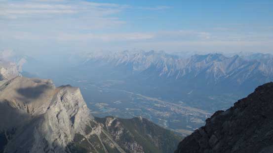
Looking down at the townsite of Canmore
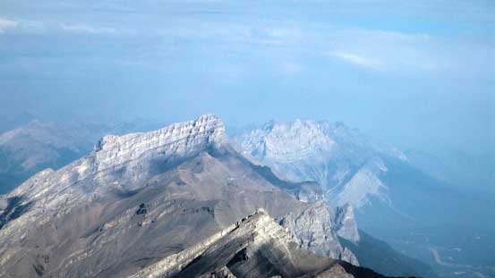
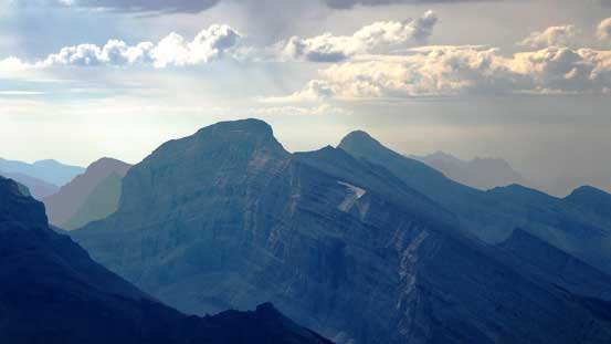
Rundle and Cascade
Eon, Aye and the mighty Assiniboine

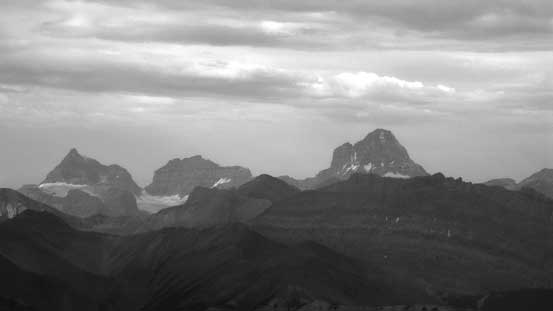
Mt. Sir Douglas and the British Military Group
Mt. Sparrowhawk and Mt. Bogart
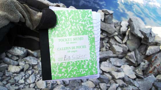
The summit register

Me on the summit of Big Sister
The descent also felt tedious and boring and there’s nothing worth noting other than retracing my steps. For the initial 10 meters or so I went down skier’s right of the pinnacles and stayed entirely on that side and it also worked well. Lower down by treeline there were quite a few trails/paths making some confusing route-finding. Thankfully I had my GPS handy so didn’t get distracted by those side branches. My round trip time was roughly 4.5 hours and that’s on a pretty “moderate” pace.

Descending that pinnacle traverse section
Down the typical terrain
Slabs covered by loose rocks…
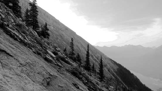
Further down on the ridge near treeline
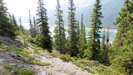
Into the woods

Looking back from near the parking lot
Big Sister is one of those peaks that I really wanted to ascent as I started scrambling 4 years ago. As I progressed through the game of scrambling and mountaineering those peaks had dropped considerably on my to-do list, but nonetheless I felt good to finally have this one completed. And, it’s time to focus on my last trip in the Rockies.
