Fig Peak
May 3, 2022
1927m
Coquihalla Highway, BC
“Fig Peak” is the unofficial name of a prominent, but boring and forested summit about halfway between Merritt and Coquihalla Pass. This happens to be my last peak over 600 m prominence along Coquihalla Highway. Logging roads extend fairly close to the summit from both the east and the south sides but those roads are probably very washed-out from last November’s storms. Originally I was thinking about a deep winter ascent following snowmobile tracks but the spring time isn’t a bad idea neither, especially that I could drive a few kilometers farther than the highway level. Matt Juhasz had done a loop on skis traversing east to south using the logging roads system. I looked at the maps and decided to use the south side roads both ways as it felt a bit more direct with less undulating terrain.
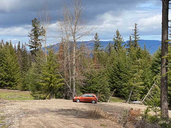
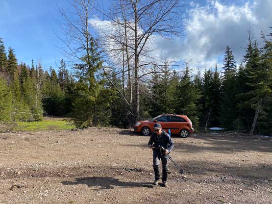
Phil A. was game for the last minute plan as the weather was just crap anywhere closer to home. The area further than Merritt would see some guaranteed sunshine but we also weren’t keen to drive that far away, so “Fig Peak” that’s it. Phil picked me up at 6 am and in just over 2 hours we were cruising up Coquihalla Pass in rain and white-outs. I triple-checked all weather models to make sure that nothing had changed since the night before. The forecasts were still calling for only 15% chance of precipitation so we resumed on, and sure enough the rain gave way to some broken clouds just when we were about 30 km from the objective. When we turned onto Fig Lake Road the weather was actually “mostly sunny”. There were some active mining at the start of the FSR but they didn’t put up those “private property” signs so we just quietly drove through. We were able to drive a couple kilometers up the road in Phil’s 2WD car to the switchback at 1250 m. There were patches of snow ahead so we parked.
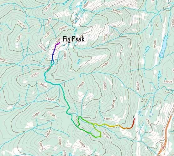
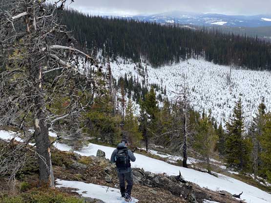
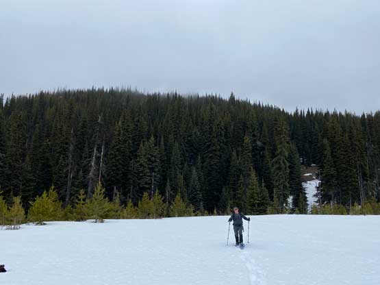
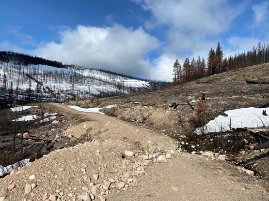
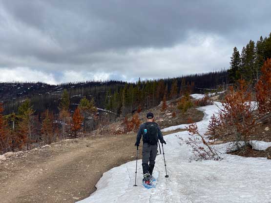
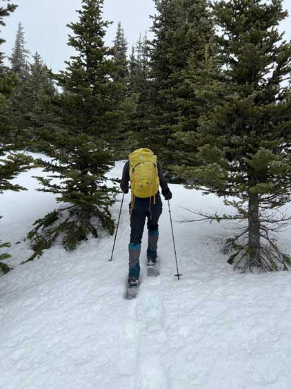
The patches of snow that blocked our vehicular access were actually the odds as we encountered at least 2 km of dry stretches beyond that snowy corner. The road however, had wash-outs impassible by even a truck, so it’s not like we could drive much farther anyway. At the East/South junction we stayed on the left branch and followed the road passing a few more wash-outs to the snowline. We then strapped the snowshoes on. The post-holing wasn’t too bad and the snow was quite intermittent with sections of snowshoeing on dry ground. There was one particularly long dry stretch that required us to take snowshoes off, near a broad pass just above 1600 m elevation. Beyond that we had a few more kilometers of traversing on the SW facing slopes including at least 1 km requiring us to carry snowshoes.


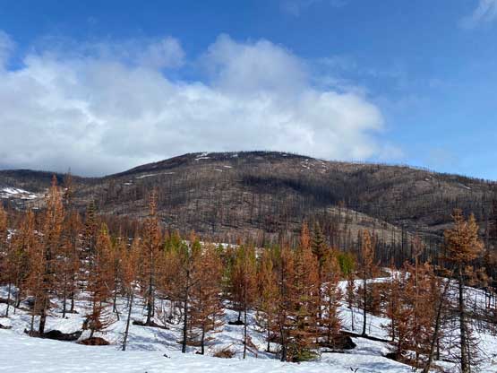

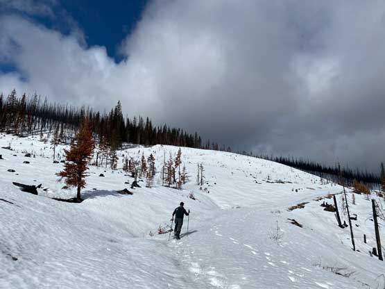
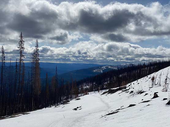

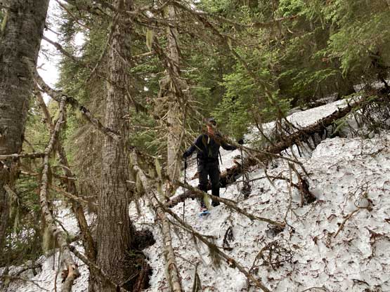
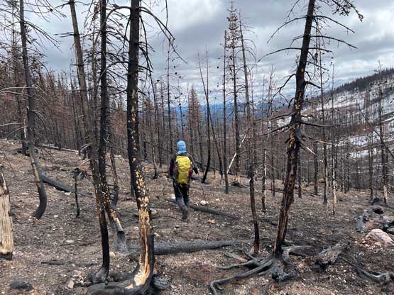
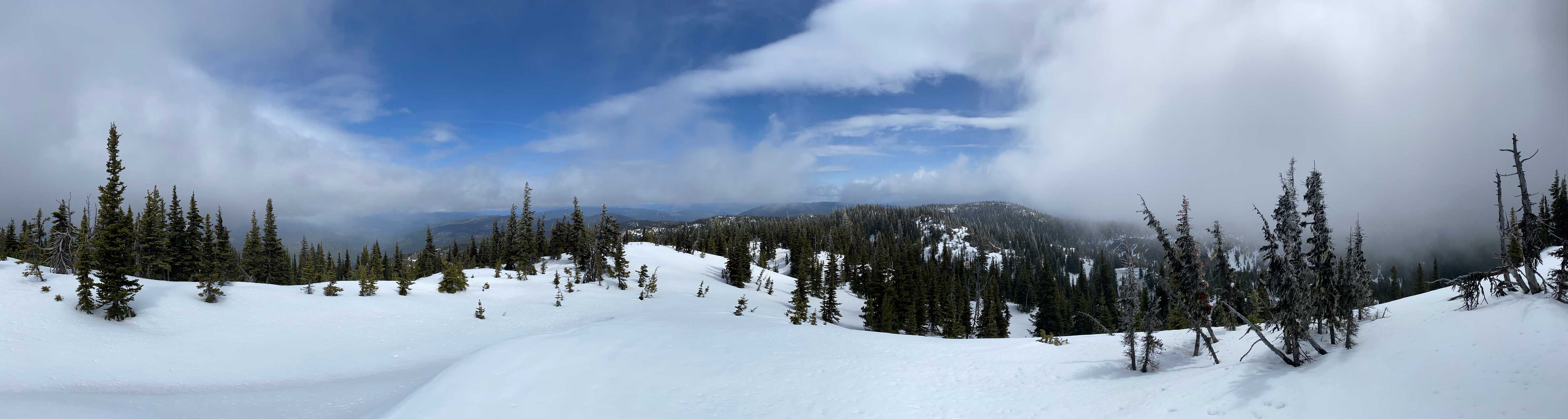
We strapped the snowshoes back on and descended slightly into the drainage directly under Fig Peak’s summit. We crossed the creek on a log, took a long break and committed to the final 250-m grunt on the south slopes. The grunt started with some light bushwhacking but soon gave way to open slopes. Route-finding in micro-terrain was required the whole way up as the snow was not very continuous anymore. We managed to keep the snowshoes on our feet the whole way up but did have to snowshoe up some dry patches. The ascent was also longer than expected with a few false summits coming up. The weather was mostly cloudy but did clear up briefly while we were on the top.


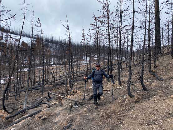
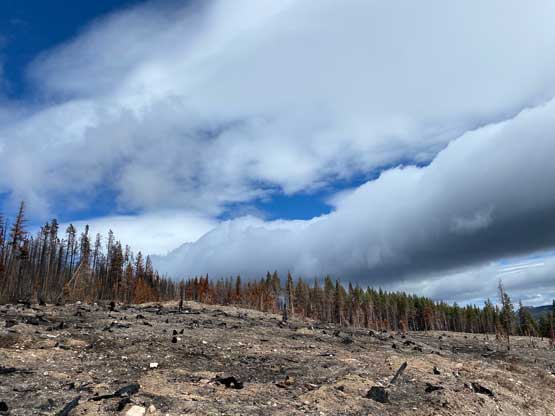
After the clouds rolled back in we started the descent. We stayed more on skier’s right near the creek to avoid snowshoeing on dry terrain. The price we paid was more bushwhacking. The plod back across the FSR was mostly uneventful until we decided to take a short-cut below that 1600m saddle. The short-cut led us into some burnt forest with light bushwhacking. I don’t know if we actually saved much time, but this definitely added some variety into the otherwise, mundane plod. Our round trip time was 4.5 hours covering over 16 km distance. I eventually got back home at 4 pm earning an hour’s nap before dinner and my evening work.