Redoubt Mountain (AB)
September 5, 2022
2092m
Skoki Area / Lake Louise, AB
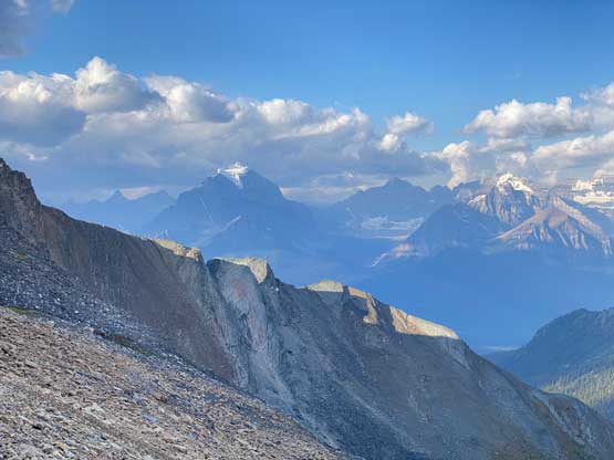
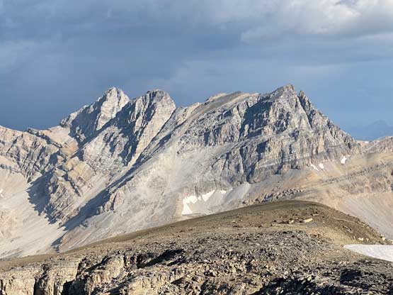
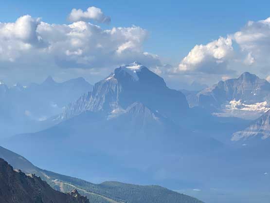
Redoubt Mountain is very recognizable from almost everywhere in the vicinity of Lake Louise and Skoki areas and there are two published routes. The Alan Kane’s scramble route used to be the standard route a dozen or so years ago but Bob Spirko’s route is the more efficient option. The majority of the scramble is class 2 with one or two steps of class 3 near the summit. The rock quality is not great but this is the Rockies so what else could I expect. I made a spontaneous decision to scramble Redoubt Mtn. on the first day of my Canadian Rockies road trip. I sent out a bunch of invites but to no avail, so I eventually just sent out an open invite on Instagram. JP Dunn from Banff signed up for the day and we agreed to meet at the trail-head at 7 am.
I spent most of the previous day driving the familiar Trans-Canada Highway corridor from the Lower Mainland to Lake Louise. The driving was mostly without event but did feel like a drag near the end. The construction work east of Golden had thankfully been suspended for the Labour Day long weekend so in theory I didn’t have to worry about getting stuck in Golden again. However I’m not someone who trusts the authorities that much and in this particular scenario if they wanted to shut down the road then they could do at any time making any nonsense excuses, so I still planned to drive through that stretch before 10 pm which was the usual night time closure. I stopped in Golden for dinner, drove through the zone at 9:50 pm and slept in my car at Skoki Lodge’s parking lot. There were at least 3 dozens cars parked but I found a spot that’s closest to the trail-head. JP showed up in time but it was raining intermittently. That was not supposed to be the weather based on the forecast but we were committed for the day so we had to embrace it.
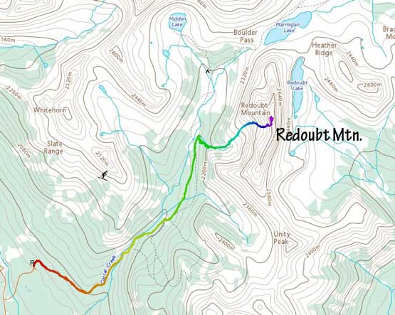
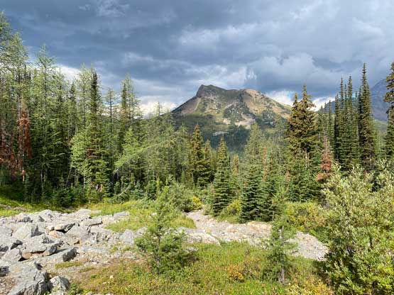
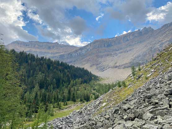
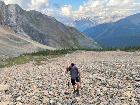
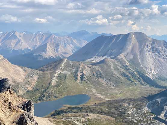
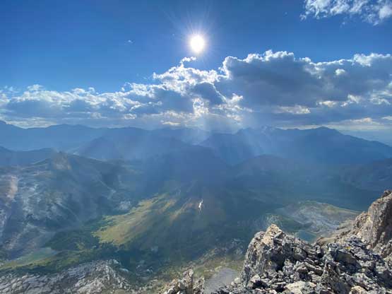
As for all peaks in the Skoki area the ascent started by plodding up the gated access road. It’s a shame that we all had to walk this extra 4 km with about 400 m elevation gain. Once past the ski resort we picked up the trail towards Boulder Pass and this trail was still mostly just an old road. I had read somewhere that the Spirko’s route now had a climber’s trail to facilitate the access and I even had downloaded a GPX file but we couldn’t locate the start of that trail. We tried to find a path on both sides of a creek but to no avail. We actually went up a short ways on the north side of the creek but gave up after encountering some nasty bushwhacking. The solution must be on the south side. We actually found a game trail here and there and the bushwhacking was much more tolerable. The grunt was quite steep at places and we emerged out of the trees under the gigantic SW Face/gully of our objective.


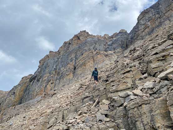
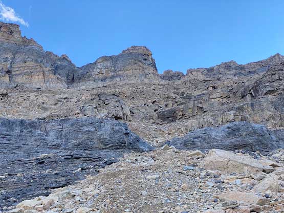
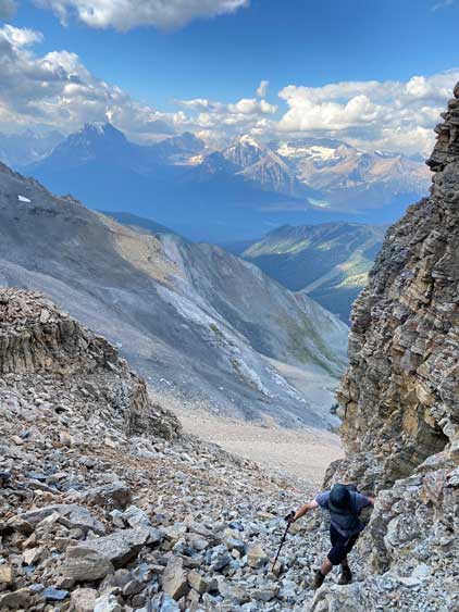
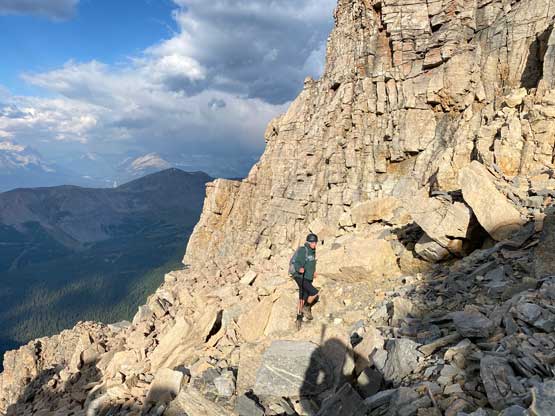
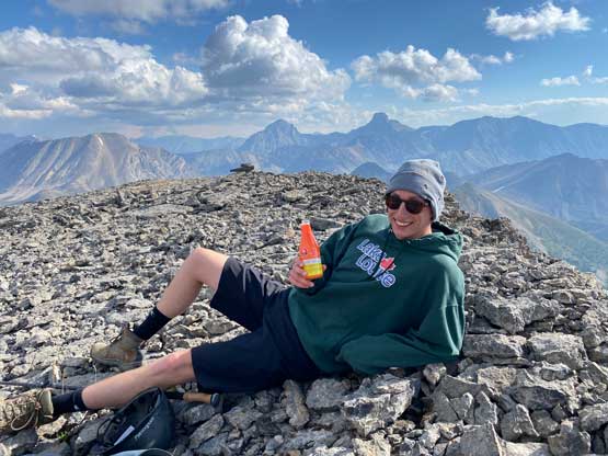
The bushes and the boulders were all wet from the recent rain so we had to be extra careful traversing into the drainage. We followed this drainage (now dry) upwards to treeline. The actual ascent of this peak was easier than appeared but the terrain was loose and tedious. We mostly just trended climber’s right and ascended a long class 2 gully to top out onto or near the summit ridge. The summit block was attacked by traversing a short ways leftwards underneath the guarding cliffs and there’s at least one class 3 step that’s unavoidable.


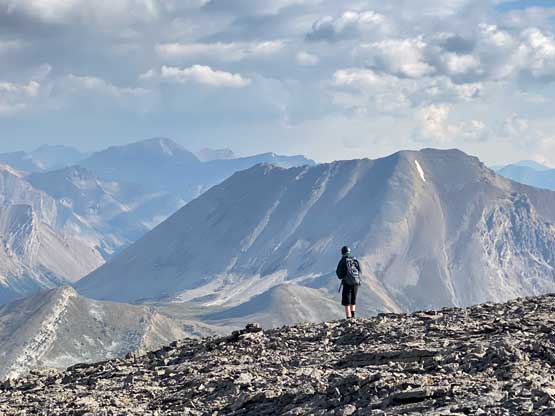


On the descent we mostly just retraced the exact same route we took but did some variations here and there, mostly unintentionally. Inside the gigantic gully there were multiple ways to go and the difficulty was similar. We did pick up a “trail” in the forest but lost it towards the bottom where things became steep, so overall I do not believe the existence of an actual trail, so light bushwhacking is required for this objective. The rest of the descent was boring and our round trip time was about 6 hours. I then drove eastwards to Canmor to prepare for the next few days’ climbs.