Hollyburn Mountain
January 2, 2016
1326m
North Shore Mountains, BC
Weather continued to be excellent on the day of my 23rd birthday, right after the 8-day ski trip into Lizzie Creek Cabin. A plan of making an ascent of the mighty Mt. Matier was made for the following day so logistically I should have taken a rest day break. However, given the weather I just had to take advantage of it. There’re many short trips in our local North Shore Mountains that I had on purposely saved for occasions like this. Hollyburn Mountain involves only about 400 m elevation gain on a very packed trail and is an ideal objective to take my parents out too.
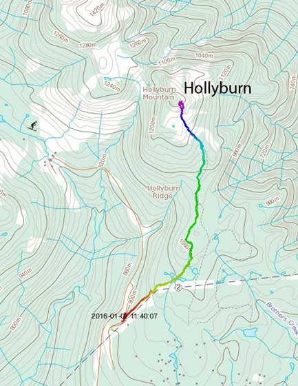
Hollyburn Mountain hiking route. GPX DL
I did realize that it’s a sunny day in New Year’s long weekend so to avoid the crowds we had to start early. With a wake-up call at 6 am we drove up the Cypress Bowl access road by dawn. There’s a thick layer of fog covering the lower mainland so we did a tourist stop at the viewpoint halfway up that road, and to my surprise we even had trouble to find a parking spot and people were already lining up for the sunrise views… I did manage to squeeze in a spot and set up my tripod, and 20 minutes later we watched the sun rising behind Mt. Baker on the horizon.
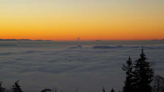
Morning sky before sunrise. Note the fog..
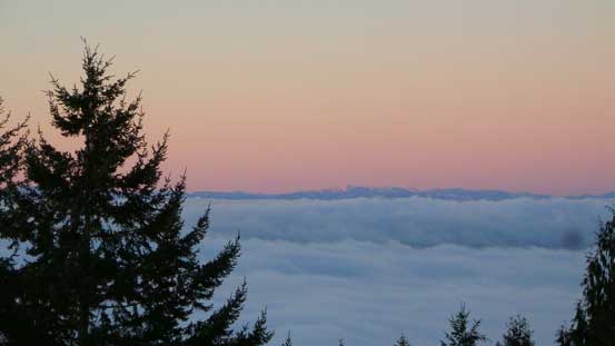
Alpenglow on the southern Vancouver Island’s peaks
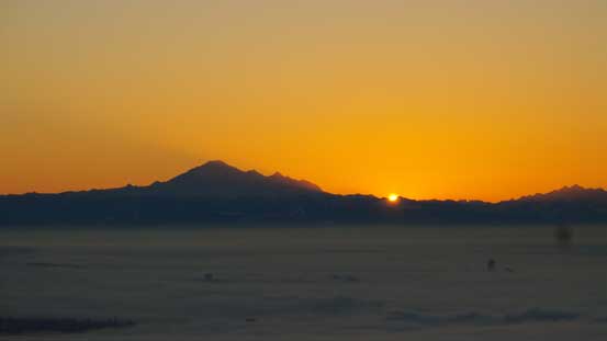
Sunrise over the shoulder of Mt. Baker

A wider view of sunrise!
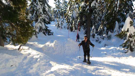
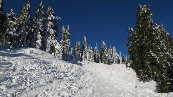
Not wanting to waste any time we soon joined the hordes up the road and we had no trouble parking at the X-Country ski area (thankfully). In another hour or so, I’m not so sure… Due to the traffics in the previous few days the trail was very packed in such way that we could have easily gone all the way up without snowshoes. It started from just behind the park’s sign and follows a ton of orange posts. In other words, it’s impossible to get lost so it’s a simple matter of plodding our way up. We did strap the snowshoes on though as the Lightning Ascents offer good bite on the surface (and I do like the heal-lift on the steeper sections).

Not far up we got to see the lowlands fog looking back

Snowshoeing following the red posts. There’s a post for every 10 m or so…
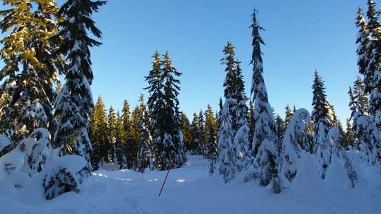
A crystal clear morning. Perfect to be out in the hills
Typical, typical..
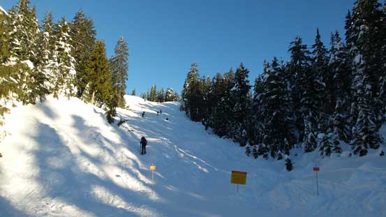
It’s getting a little bit steeper ahead
Dad snowshoeing up
It kept going…
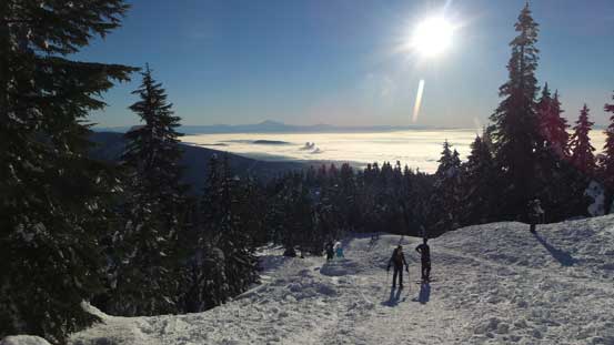
Near the summit there’s one steep and hardpacked/icy rise that wasn’t trivial in my opinion for newbie snowshoeers, but my parents made up with no issue. We didn’t linger too long on the summit despite the nice weather as I still had to fix my ski gears in the afternoon.
At the flat just before the final rise to the summit
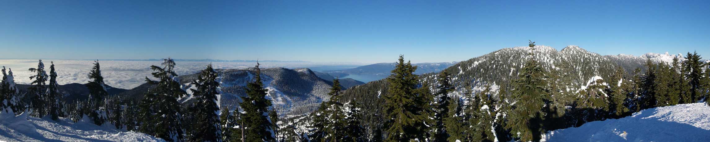
Partial summit panorama. Click to view large size.
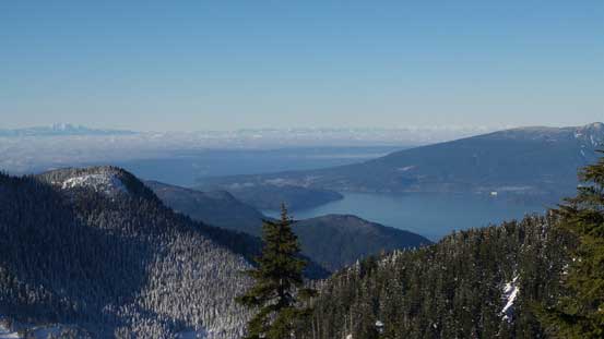
Could see Howe Sound and some islands and part of Sunshine Coast
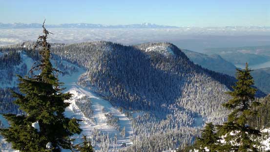
Black Mountain is the official name of that peak with ski hills on
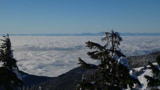
The low clouds obscuring the lower mainland and the Howe Sound
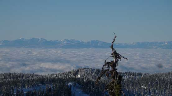
Too lazy to figure out the names of those peaks on Vancouver Island

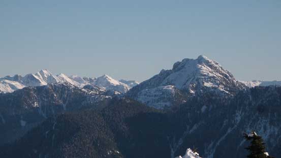
Brunswick Mountain is the North Shore’s highest
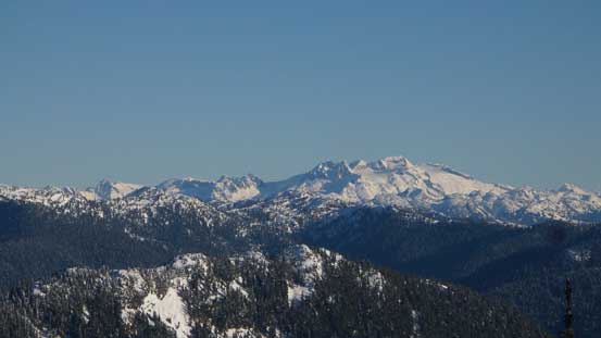
Mamquam Mountain is that glaciated massive – bagged last year
Cathedral Mountain with Meslilloet Mountain to its left on the skyline

Crown Mountain is that multi-summit massive on right
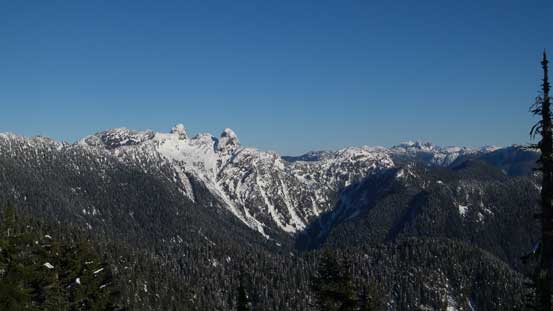
The steep bowl south of the Lions

Atwell/Garibaldi massive with the striking Sky Pilot group in front
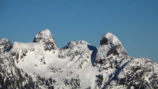
A closer look at the Lions – both bagged last year
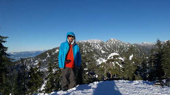
Me on the summit of Hollyburn Mountain
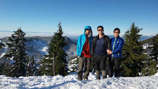
Our family shot on the summit
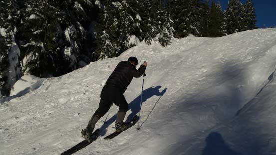
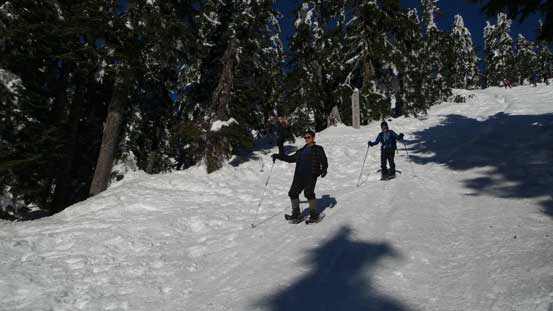
On the return I simply removed my snowshoes and hiked/plunged down the trail, while my parents kept there snowshoes on. I even set a few glissades down the steeper rolls but none lasted long. Hordes and hordes of people were lining up for the summit, on foot, on snowshoes, on skis and even one dude had his snowboard strapped on the pack… By rough estimate we had probably seen 200 people and it’s beyond anything that I remembered from the Rockies (even Lake Louise)… And don’t forget this is just January…
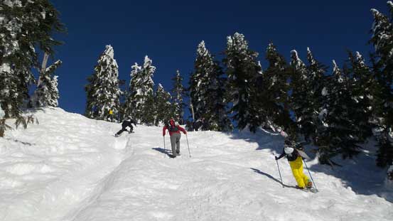
Hordes of people going up.
We were going down

Almost back.
Back to the car we saw people had already parked at least 1 km down the road.. That was insane, but oh well… We then drove to the MEC at North Vancouver and I did get a new pair of skin straps. And then, the next day would be the last one in this extended high pressure system and you know that something is gonna come down…
