Pearson Ridge
May 27, 2026
1490m
Gold Bridge, BC
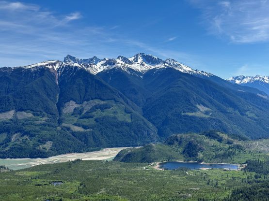
Pearson Ridge is a small summit in the vicinity of Gold Bridge but boasts over 400 m prominence making it quite “legit”. I had eyed on this objective for a number of years as it seemed like a straightforward “add on”, but I hadn’t done that many trips to this area after all. The drive is exceptionally long and challenging and the peaks aren’t as attractive as the ones in the Interior Ranges. This time I came for Mt. Noel with Adam and Miranda and we happened to have finished the primary objective with time to spare. I instantly suggested that we should at least give Pearson Ridge a try.
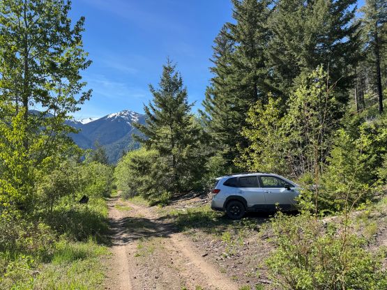
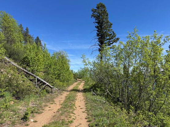
The drive between the two peaks took almost an hour. Once at the base of Pearson Ridge I simply directed Adam using the Gaia app. I knew Alexandru R. had done it a few years ago but there’s no written account, so we still had to explore. Roads were drawn to within 150 vertical meters from the summit on the south slopes but I had no “beta” if they were currently drivable. We only had a Subaru Forester, after all. I didn’t “count” on a success but if we were able to drive to within an hour’s walk from the top then we should do it, so that’s the plan. It turned out that we were able to drive all the way up, but the roads were very narrow with almost nowhere to turn around. Upon seeing a good turning around spot we opted to park and walk the last bits, and this was definitely the right decision.
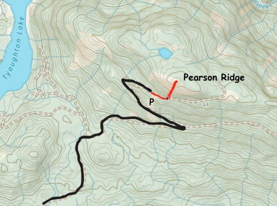
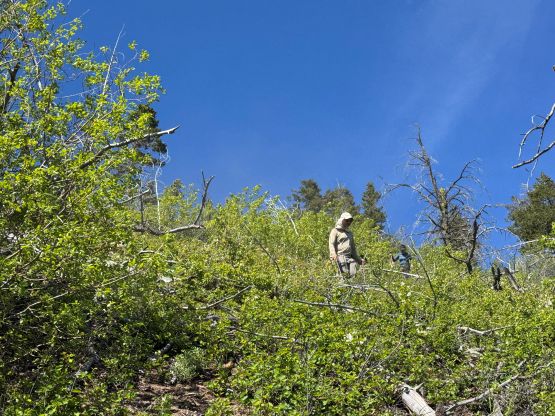
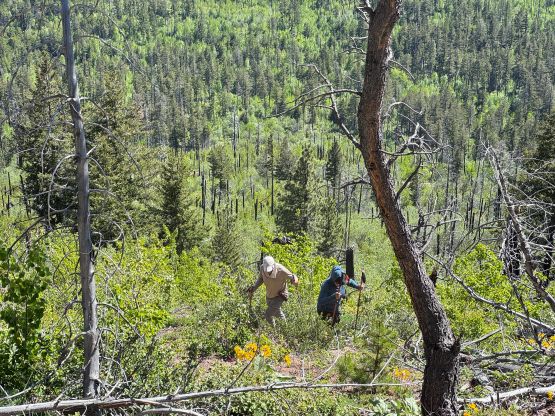
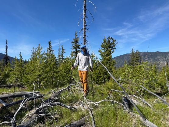
There’s no point in going all the way to the east ridge even though the road extended all the way there. The simplest way to ascend to the highest point on Pearson Ridge would be a direct thrash up the south face for ~100 vertical meters, so we left the road and went for the bushwhack. I anticipated a lot of pick-up sticks but the situation was actually quite tolerable. There was hardly any bushwhacking at all, though the footings were quite loose. I was able to mostly pick a straight-the-hell-up route through the open forest and we got to the summit in no time. To my surprise there’s a MTB trail that runs along the ridge but we had no clue where that originated from. If anyone knows anything about this trail then please let me know. I still think our route is the shortest way to tag the summit, unless the trail goes all the way to the east ridge where the ridge intersects the highest point on the FSR.
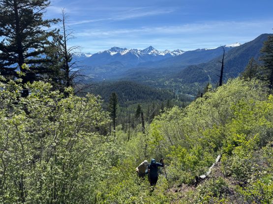
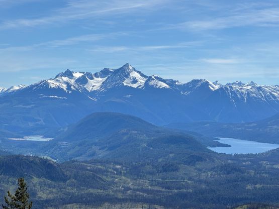
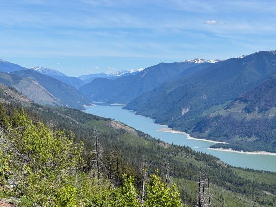
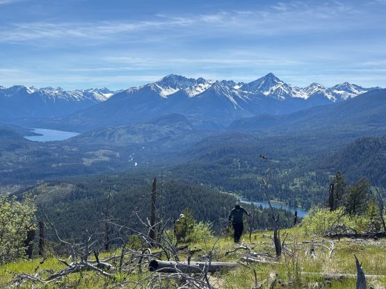
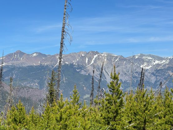
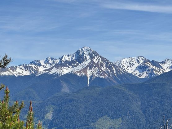
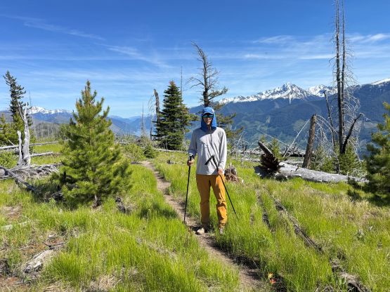
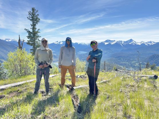
Not doing much lingering we quickly started the descent after tagging the meaningless “true summit”, which was a short ways off in the bushes. I took a slightly different way down but the terrain was basically the same. Our round trip time was just over 30 minutes and we carried absolutely nothing. Adam then drove us down to Carpenter Lake and eventually got us all the way back to the vicinity of Lillooet. It was almost 30 degrees Celsius which was quite concerning. We then took our time cooking, and I took over the drive and got us all the way back home by 10:30 pm. Adam spent the night at my house and resumed his way southwards to Seattle vicinity the next day.